- National Register of Historic Places listings in Minnesota
-
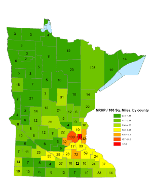
This is a list of sites in Minnesota which are included in the National Register of Historic Places. There are approximately 1,600 properties and historic districts listed on the NRHP; each of Minnesota's 87 counties has at least 2 listings. Twenty-two sites are also National Historic Landmarks.
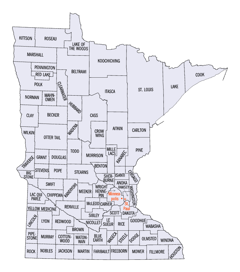
Contents: Counties in Minnesota (links in italic lead to a new page) Aitkin - Anoka - Becker - Beltrami - Benton - Big Stone - Blue Earth - Brown - Carlton - Carver - Cass - Chippewa - Chisago - Clay - Clearwater - Cook - Cottonwood - Crow Wing - Dakota - Dodge - Douglas - Faribault - Fillmore - Freeborn - Goodhue - Grant - Hennepin - Houston - Hubbard - Isanti - Itasca - Jackson - Kanabec - Kandiyohi - Kittson - Koochiching - Lac Qui Parle - Lake - Lake of the Woods - Le Sueur - Lincoln - Lyon - Mahnomen - Marshall - Martin - McLeod - Meeker - Mille Lacs - Morrison - Mower - Murray - Nicollet - Nobles - Norman - Olmsted - Otter Tail - Pennington - Pine - Pipestone - Polk - Pope - Ramsey - Red Lake - Redwood - Renville - Rice - Rock - Roseau - Scott - Sherburne - Sibley - St. Louis - Stearns - Steele - Stevens - Swift - Todd - Traverse - Wabasha - Wadena - Waseca - Washington - Watonwan - Wilkin - Winona - Wright - Yellow Medicine Minneapolis listings are in the Hennepin County list; St. Paul's listings are in the Ramsey County list.
-
- This National Park Service list is complete through NPS recent listings posted November 10, 2011.[1]
 Minnesota counties
Current listings by county
The following are approximate tallies of current listings by county. These counts are based on entries in the National Register Information Database as of April 24, 2008[2] and new weekly listings posted since then on the National Register of Historic Places web site.[3] There are frequent additions to the listings and occasional delistings and the counts here are approximate and not official. New entries are added to the official Register on a weekly basis.[4] Also, the counts in this table exclude boundary increase and decrease listings which modify the area covered by an existing property or district and which carry a separate National Register reference number. The numbers of NRHP listings in each county are documented by tables in each of the individual county list-articles.
 Hermann Monument
Aitkin County
Anoka County
Becker County
Beltrami County
Benton County
Landmark name Image Date listed Location City or Town Summary 1 Church of Sts. Peter and Paul-Catholic April 6, 1982 State St.
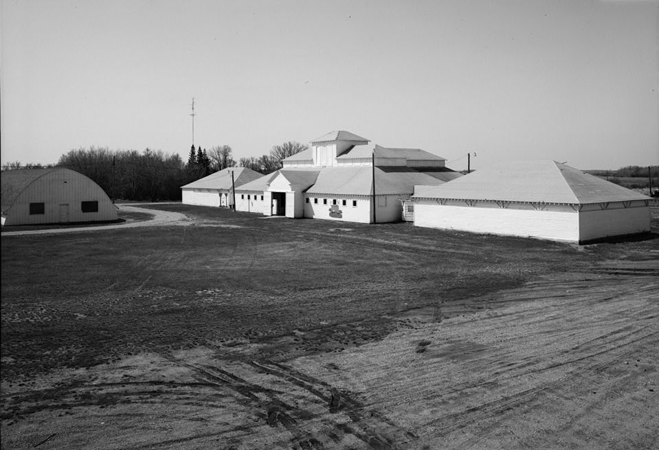
45°44′12″N 93°56′42″W / 45.73667°N 93.945°WGilman 2 Cota Round Barns April 6, 1982 County Highway 48
45°34′45″N 93°56′59″W / 45.57917°N 93.94972°WSt. Cloud 3 Esselman Brothers General Store April 6, 1982 County Highways 1 and 13
45°42′48″N 94°6′37″W / 45.71333°N 94.11028°WRice 4 Posch Site October 2, 1973 Address Restricted Rice 5 Leonard Robinson House April 6, 1982 202 2nd Ave., S.
45°35′17″N 94°9′46″W / 45.58806°N 94.16278°WSauk Rapids Big Stone County
Blue Earth County
Brown County
Carlton County
Carver County
Cass County
Chippewa County
Chisago County
Clay County
Clearwater County
Landmark name Image Date listed Location City or Town Summary 1 Gran Evangelical Lutheran Church May 19, 1988 County Road 92 and County Highway 20
47°32′36″N 95°29′5″W / 47.54333°N 95.48472°WBagley 2 Itasca Bison Site December 29, 1970 Address Restricted Park Rapids 3 Itasca State Park 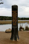
May 7, 1973 21 mi (34 km) north of Park Rapids off U.S. Route 71
47°11′38″N 95°13′3″W / 47.19389°N 95.2175°WPark Rapids 4 Lower Rice Lake Site December 18, 1978 Address Restricted Bagley 5 Upper Rice Lake Site December 19, 1978 Address Restricted Shevlin Cook County
Cottonwood County
Landmark name Image Date listed Location City or Town Summary 1 Isaac Bargen House June 13, 1986 1215 Mountain Lake Rd.
43°56′6″N 94°55′28″W / 43.935°N 94.92444°WMountain Lake 2 Chicago, St. Paul, Minneapolis, and Omaha Depot June 13, 1986 4th St. at 1st Ave.
44°2′23″N 95°26′6″W / 44.03972°N 95.435°WWestbrook 3 Cottonwood County Courthouse April 18, 1977 900 3rd Ave.
43°51′58″N 95°7′0″W / 43.86611°N 95.116667°WWindom 4 Jeffers Petroglyphs Site 
October 15, 1970 Off County Highway 2
44°5′31″N 95°3′13″W / 44.09194°N 95.05361°WJeffers 5 Mountain Lake Site June 4, 1973 Address Restricted Mountain Lake Crow Wing County
Dakota County
Dodge County
Douglas County
Faribault County
Fillmore County
Freeborn County
Landmark name Image Date listed Location City or Town Summary 1 Albert Lea City Hall May 17, 1984 212 N. Broadway Ave.
43°39′2″N 93°22′8″W / 43.65056°N 93.36889°WAlbert Lea 2 Albert Lea Commercial Historic District 
July 16, 1987 Broadway Ave. between Water and Pearl Sts; originally N. Broadway Ave. between Water and E. Main Sts.
43°39′0″N 93°22′6″W / 43.65°N 93.36833°WAlbert Lea New location is the result of a combined boundary increase and decrease 3 Chicago, Milwaukee, St. Paul and Pacific Railroad Depot February 4, 1982 606 S. Broadway
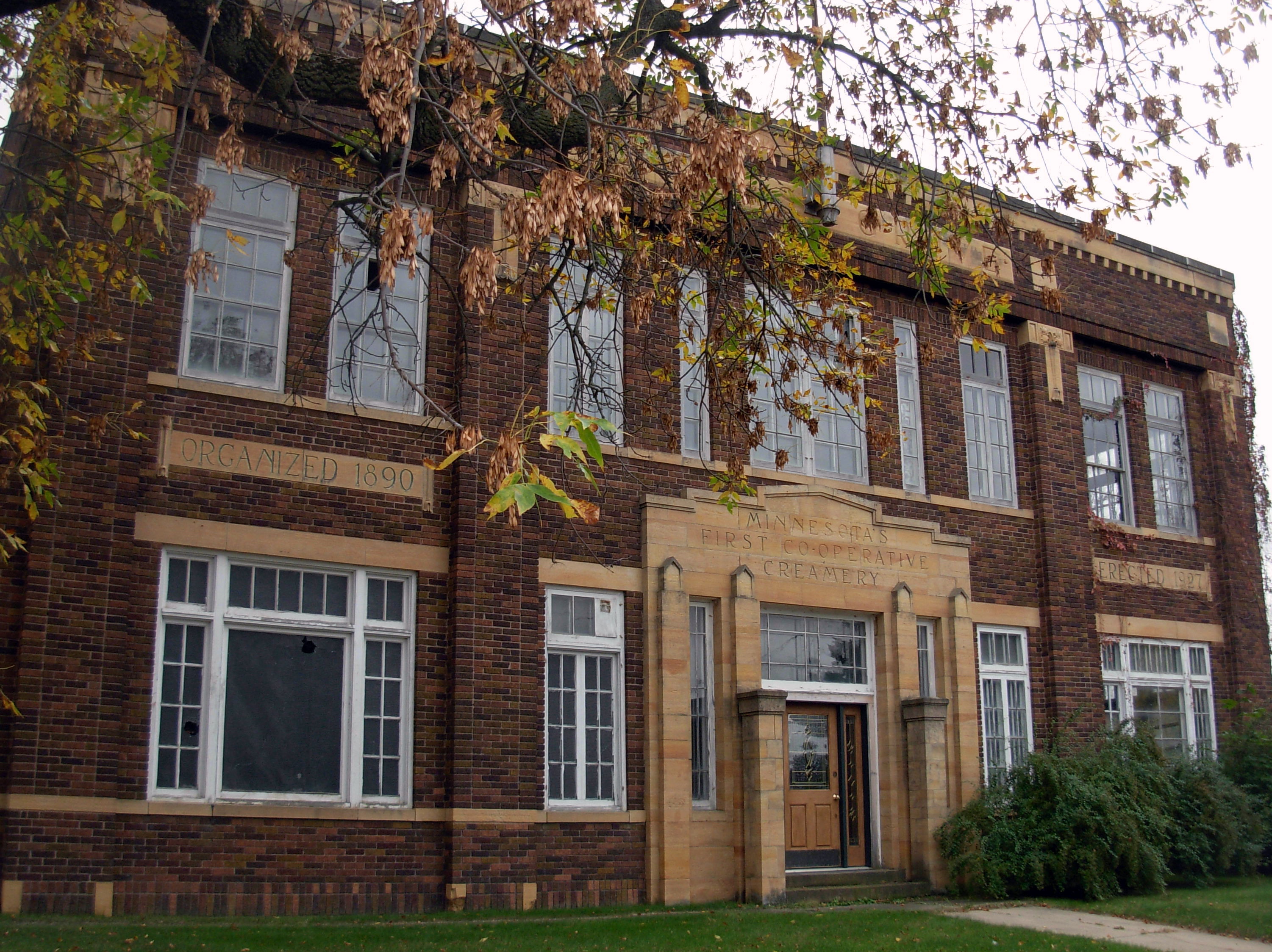
43°38′25″N 93°22′7″W / 43.64028°N 93.36861°WAlbert Lea 4 Clarks Grove Cooperative Creamery 
March 20, 1986 Main St. E. and Independence Ave.
43°45′49″N 93°19′42″W / 43.76361°N 93.32833°WClarks Grove 5 Lodge Zare Zapadu No. 44 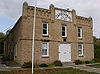
March 20, 1986 County Highway 30
43°36′30″N 93°10′9″W / 43.60833°N 93.16917°WHayward 6 H. A. Paine House 
March 20, 1986 609 W. Fountain St.
43°39′5″N 93°22′32″W / 43.65139°N 93.37556°WAlbert Lea 7 Dr. Albert C. Wedge House 
June 13, 1986 216 W. Fountain St.
43°39′6″N 93°22′10″W / 43.65167°N 93.36944°WAlbert Lea Goodhue County
Grant County
Landmark name Image Date listed Location City or Town Summary 1 Fort Pomme de Terre Site May 23, 1974 Address Restricted Ashby 2 Grant County Courthouse 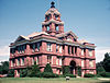
September 5, 1985 10 2nd St., NE.
45°59′42″N 95°58′35″W / 45.995°N 95.97639°WElbow Lake (ed. note: see [1]) 3 Roosevelt Hall August 23, 1985 Hawkins Ave.
45°54′39″N 95°53′17″W / 45.91083°N 95.88806°WBarrett Hennepin County
Houston County
Hubbard County
Landmark name Image Date listed Location City or Town Summary 1 Hubbard County Courthouse March 8, 1984 3rd and Court Sts.
46°55′12″N 95°3′49″W / 46.92°N 95.06361°WPark Rapids 2 Itasca State Park May 7, 1973 21 miiles north of Park Rapids off U.S. Route 71
47°11′38″N 95°13′3″W / 47.19389°N 95.2175°WPark Rapids 3 Louis J. Moser House April 17, 1979 Off County Road 90
47°4′7″N 94°54′3″W / 47.06861°N 94.90083°WNevis 4 Park Rapids Jail October 27, 1988 205 W. 2nd St.
46°55′16″N 95°3′36″W / 46.92111°N 95.06°WPark Rapids 5 Shell River Prehistoric Village and Mound District June 19, 1973 Address Restricted Park Rapids Isanti County
Itasca County
Jackson County
Landmark name Image Date listed Location City or Town Summary 1 Church of the Sacred Heart (Catholic) March 20, 1989 9th St. and 4th Ave.
43°47′41″N 95°19′2″W / 43.79472°N 95.31722°WHeron Lake 2 District No. 92 School October 27, 1988 County Highway 9
43°33′58″N 95°2′7″W / 43.56611°N 95.03528°WJackson 3 Jackson Commercial Historic District 
December 17, 1987 2nd St. between Sheridan and White Sts.
43°37′18″N 94°59′14″W / 43.62167°N 94.98722°WJackson 4 Jackson County Courthouse 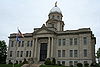
April 13, 1977 413 4th St.
43°37′17″N 94°59′24″W / 43.62139°N 94.99°WJackson 5 George M. Moore Farmstead January 7, 1987 Off County Highway 4
43°30′53″N 95°4′45″W / 43.51472°N 95.07917°WJackson 6 Robertson Park Site August 1, 1980 Address Restricted Jackson Kanabec County
Landmark name Image Date listed Location City or Town Summary 1 Ann River Logging Company Farm August 18, 1980 Minnesota Highway 23
45°51′19″N 93°19′55″W / 45.85528°N 93.33194°WMora 2 Kanabec County Courthouse 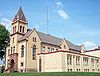
April 11, 1977 18 N. Vine St.
45°52′39″N 93°17′36″W / 45.8775°N 93.29333°WMora 3 Knife Lake Prehistoric District January 21, 1974 Address Restricted Mora 4 Ogilvie Watertower 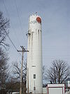
August 18, 1980 Anderson St.
45°49′51″N 93°25′40″W / 45.83083°N 93.42778°WOgilvie 5 C. E. Williams House 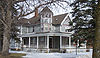
August 18, 1980 206 E. Maple Ave.
45°52′41″N 93°17′43″W / 45.87806°N 93.29528°WMora 6 Zetterberg Company 
August 18, 1980 630 E. Forest St.
45°52′34″N 93°17′18″W / 45.87611°N 93.28833°WMora Kandiyohi County
Kittson County
Landmark name Image Date listed Location City or Town Summary 1 Lake Bronson Site May 22, 1978 Address Restricted Lake Bronson 2 Lake Bronson State Park WPA/Rustic Style Historic Resources October 25, 1989 Off County Highway 28 east of Lake Bronson
48°43′20″N 96°36′59″W / 48.72222°N 96.61639°WLake Bronson (ed note: may or may not need sep. article vs. Lake Bronson State Park ) 3 St. Nicholas Orthodox Church March 8, 1984 County Highway 4
48°58′56″N 96°27′5″W / 48.98222°N 96.45139°WLancaster Koochiching County
Lac Qui Parle County
Lake County
Lake of the Woods County
Landmark name Image Date listed Location City or Town Summary 1 Canadian National Railways Depot August 7, 2005 420 N. Main Ave.
48°42′58″N 94°35′58″W / 48.71611°N 94.59944°WBaudette 2 Fort St. Charles Archeological Site April 8, 1983 Address Restricted Angle Township 3 Norris Camp September 19, 1994 Off Norris-Roosevelt Forest Rd. in the Red Lake Wildlife Management Area
48°36′37″N 95°10′55″W / 48.61028°N 95.18194°WRoosevelt 4 Northwest Point February 23, 1973 Between Bear and Harrison Creeks
49°22′35″N 95°8′56″W / 49.37639°N 95.14889°WAngle Township Le Sueur County
Lincoln County
Landmark name Image Date listed Location City or Town Summary 1 Danebod June 30, 1975 Danebod Ct.
44°16′5″N 96°8′1″W / 44.26806°N 96.13361°WTyler 2 Drammen Farmers' Club December 1, 1980 County Highway 13
44°19′39″N 96°22′57″W / 44.3275°N 96.3825°WLake Benton 3 Lake Benton Opera House and Kimball Building March 25, 1977 Benton St. between Fremont and Center Sts.
44°15′38″N 96°17′10″W / 44.26056°N 96.28611°WLake Benton Originally simply the Lake Benton Opera House (address simply Benton St.), a boundary increase added the Kimball Building and the increased street footage 4 Lincoln County Courthouse and Jail December 1, 1980 319 N. Rebecca St.
44°27′45″N 96°15′8″W / 44.4625°N 96.25222°WIvanhoe 5 Lincoln County Fairgrounds December 12, 1980 Strong and Marsh Sts.
44°16′57″N 96°8′15″W / 44.2825°N 96.1375°WTyler 6 Ernst Osbeck House December 2, 1980 106 S. Fremont St.
44°15′36″N 96°17′10″W / 44.26°N 96.28611°WLake Benton 7 Tyler Public School December 1, 1980 Strong St.
44°16′53″N 96°8′1″W / 44.28139°N 96.13361°WTyler Lyon County
Mahnomen County
Landmark name Image Date listed Location City or Town Summary 1 Mahnomen City Hall December 22, 1988 104 W. Madison Ave.
47°18′51″N 95°58′8″W / 47.31417°N 95.96889°WMahnomen 2 Mahnomen County Courthouse February 16, 1984 311 N. Main St.
47°19′4″N 95°58′8″W / 47.31778°N 95.96889°WMahnomen 3 Mahnomen County Fairgrounds Historic District 
March 2, 1989 Junction of Minnesota Highway 200 and County Highway 137
47°19′24″N 95°58′43″W / 47.32333°N 95.97861°WMahnomen Marshall County
Landmark name Image Date listed Location City or Town Summary 1 Larson Mill June 4, 1973 County Road 39 in Old Mill State Park
48°21′42″N 96°34′15″W / 48.36167°N 96.57083°WArgyle 2 Old Mill State Park WPA/Rustic Style Historic Resources 
October 25, 1989 Off County Highway 39 east of Argyle
48°21′45″N 96°34′12″W / 48.3625°N 96.57°WArgyle 3 K. J. Taralseth Company September 6, 2002 427 N. Main St.
48°11′47″N 96°46′22″W / 48.19639°N 96.77278°WWarren Martin County
Landmark name Image Date listed Location City or Town Summary 1 Orville P. and Sarah Chubb House 
May 18, 1995 209 Lake Ave.
43°39′13″N 94°27′56″W / 43.65361°N 94.46556°WFairmont 2 Fairmont Opera House 
July 2, 1980 Downtown Plaza and Blue Earth Ave.
43°39′7″N 94°27′43″W / 43.65194°N 94.46194°WFairmont 3 First Church of Christ, Scientist 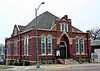
May 19, 1988 222 Blue Earth Ave., E.
43°39′7″N 94°27′34″W / 43.65194°N 94.45944°WFairmont 4 Fox Lake Site April 8, 1994 Address Restricted Sherburn 5 Martin County Courthouse 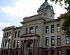
September 22, 1977 201 Lake Ave.
43°39′11″N 94°27′54″W / 43.65306°N 94.465°WFairmont 6 Sherburn Commercial Historic District August 3, 1987 Main St., N., between Front and 2nd Sts.
43°39′12″N 94°43′38″W / 43.65333°N 94.72722°WSherburn 7 George Wohlheter House June 20, 1975 320 Woodland Ave.
43°39′48″N 94°28′9″W / 43.66333°N 94.46917°WFairmont 8 United States Post Office May 12, 2008 51-55 Downtown Plaza
43°39′10″N 94°27′45″W / 43.65278°N 94.4625°WFairmont McLeod County
Landmark name Image Date listed Location City or Town Summary 1 Merton S. Goodnow House August 15, 1985 446 S. Main St.
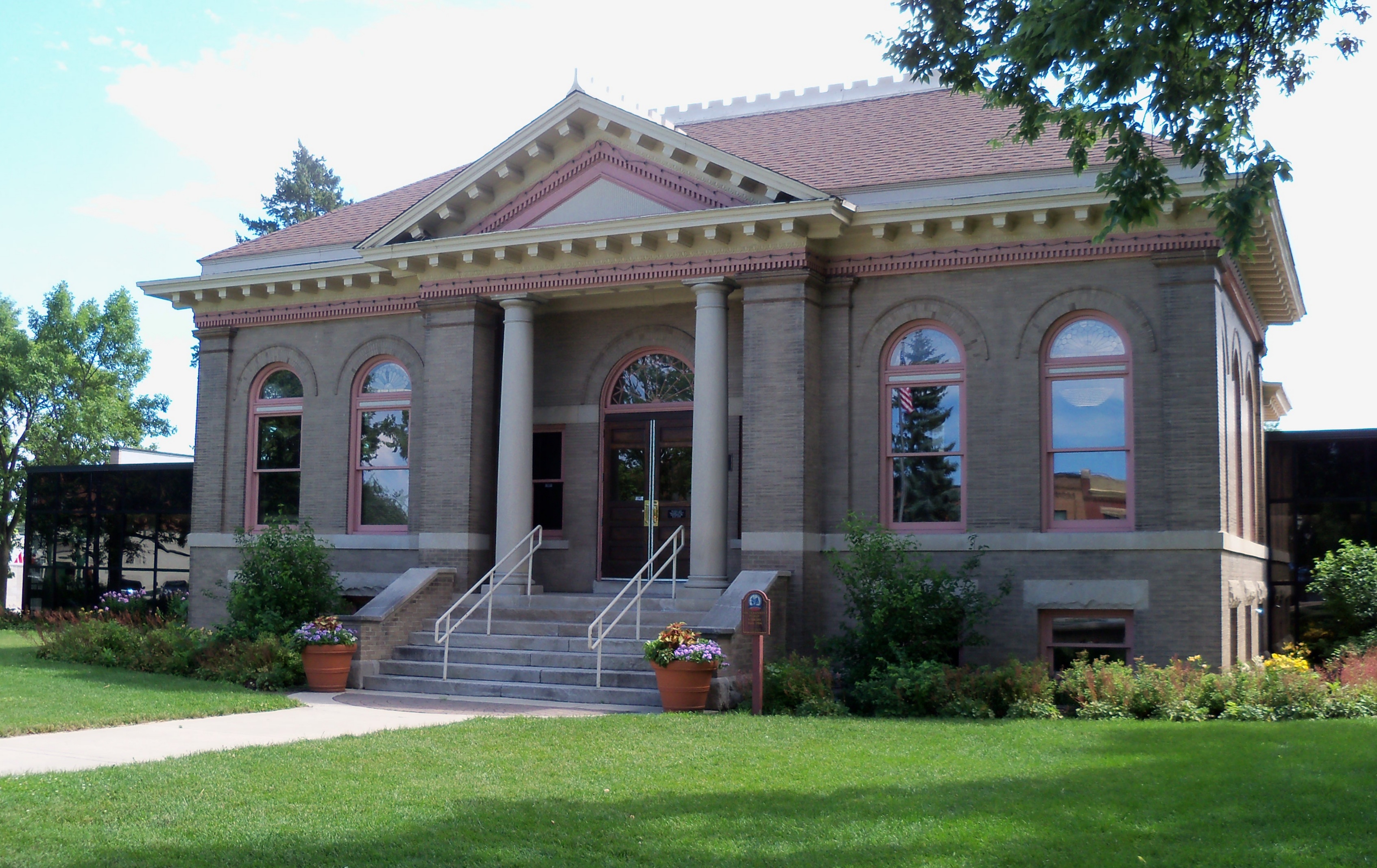
44°53′12″N 94°22′10″W / 44.88667°N 94.36944°WHutchinson 2 Hutchinson Carnegie Library 
December 12, 1977 Main St.
44°53′20″N 94°22′22″W / 44.88889°N 94.37278°WHutchinson 3 Komensky School August 20, 2009 19981 Major Avenue
44°54′24″N 94°16′37″W / 44.90667°N 94.27694°WHutchinson 4 McLeod County Courthouse August 23, 1984 830 11th St., E.
44°46′11″N 94°9′3″W / 44.76972°N 94.15083°WGlencoe 5 Winsted City Hall August 19, 1982 181 1st St., N.
44°57′55″N 94°2′46″W / 44.96528°N 94.04611°WWinsted Meeker County
Mille Lacs County
Morrison County
Mower County
Murray County
Landmark name Image Date listed Location City or Town Summary 1 4-H Club Building, Murray County Fairgrounds December 22, 2005 Off Broadway Ave.
43°58′57″N 95°45′21″W / 43.9825°N 95.75583°WSlayton 2 Avoca Public School October 16, 1979 Cole Ave. and 2nd St.
43°56′49″N 95°38′50″W / 43.94694°N 95.64722°WAvoca 3 Chicago, Milwaukee, St. Paul and Pacific Depot October 16, 1979 St. Paul and Front Sts.
43°52′10″N 95°36′2″W / 43.86944°N 95.60056°WFulda 4 Chicago, St. Paul, Minneapolis, and Omaha Turntable December 12, 1977 County Highway 38
44°4′30″N 95°39′55″W / 44.075°N 95.66528°WCurrie 5 Dinehart-Holt House December 7, 1982 2812 Linden Ave.
43°59′5″N 95°45′17″W / 43.98472°N 95.75472°WSlayton 6 First National Bank December 7, 1982 115 N. St. Paul Ave.
43°51′49″N 95°29′57″W / 43.86361°N 95.49917°WFulda 7 Lake Shetek State Park WPA/Rustic Style Group Camp 
July 2, 1992 Off County Highway 37 on Lake Shetek in Murray and Shetek Townships
44°6′29″N 95°41′42″W / 44.10806°N 95.695°WCurrie Nicollet County
Nobles County
Norman County
Landmark name Image Date listed Location City or Town Summary 1 Ada Village Hall 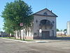
February 26, 1998 404 W. Main St.
47°17′59″N 96°30′59″W / 47.29972°N 96.51639°WAda 2 Canning Site (21NR9) June 19, 1986 Address Restricted Hendrum 3 Congregational Church of Ada 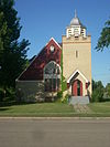
November 8, 1984 E. 2nd Ave. and 1st St.
47°17′54″N 96°30′43″W / 47.29833°N 96.51194°WAda 4 Norman County Courthouse 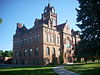
May 9, 1983 16 E. 3rd Ave.
47°17′55″N 96°30′46″W / 47.29861°N 96.51278°WAda 5 Zion Lutheran Church October 21, 1999 County Highway 3
47°27′20″N 96°47′23″W / 47.45556°N 96.78972°WShelly Olmsted County
Otter Tail County
Pennington County
Landmark name Image Date listed Location City or Town Summary 1 Minneapolis, St. Paul and Sault Ste. Marie Depot 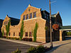
July 14, 1995 Junction of 3rd St. and Atlantic Ave.
48°7′10″N 96°10′33″W / 48.11944°N 96.17583°WThief River Falls 2 Red River Trail: Goose Lake Swamp Section February 6, 1991 Off County Highway 10 south of Goose Lake Swamp
47°58′24″N 96°28′16″W / 47.97333°N 96.47111°WPolk Centre Township 3 Thief River Falls Public Library 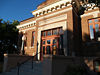
October 6, 1983 102 N. Main Ave.
48°7′2″N 96°10′51″W / 48.11722°N 96.18083°WThief River Falls Pine County
Pipestone County
Polk County
Landmark name Image Date listed Location City or Town Summary 1 Cathedral of the Immaculate Conception October 1, 1998 N. Ash St. at 2nd Ave.
47°46′28″N 96°36′14″W / 47.77444°N 96.60389°WCrookston 2 Church of St. Peter-Catholic August 19, 1982 Off U.S. Route 2
47°47′33″N 96°26′52″W / 47.7925°N 96.44778°WCrookston 3 Crookston Carnegie Public Library May 10, 1984 N. Ash St. at 2nd Ave.
47°46′25″N 96°36′17″W / 47.77361°N 96.60472°WCrookston 4 Crookston Commercial Historic District 
November 23, 1984 Roughly Main St. and Broadway between Fletcher and W. 2nd St.
47°46′25″N 96°36′20″W / 47.77361°N 96.60556°WCrookston 5 E. C. Davis House May 10, 1984 406 Grant St.
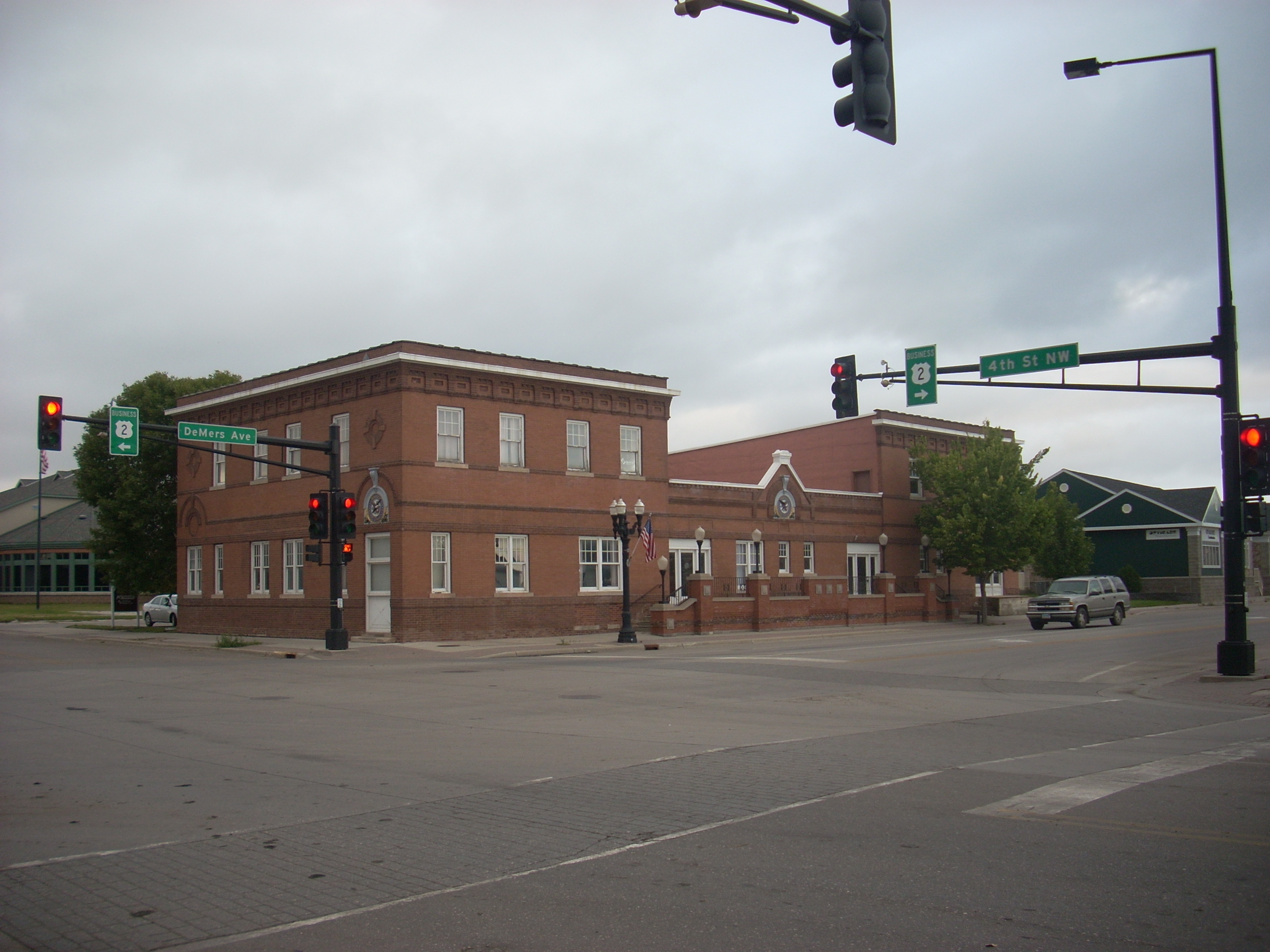
47°46′57″N 96°36′18″W / 47.7825°N 96.605°WCrookston 6 Hamm Brewing Company Beer Depot 
September 20, 1984 401 DeMers Ave.
47°55′48″N 97°1′27″W / 47.93°N 97.02417°WEast Grand Forks Pope County
Ramsey County
Red Lake County
Landmark name Image Date listed Location City or Town Summary 1 Clearwater Evangelical Lutheran Church November 18, 1999 County Highway 10
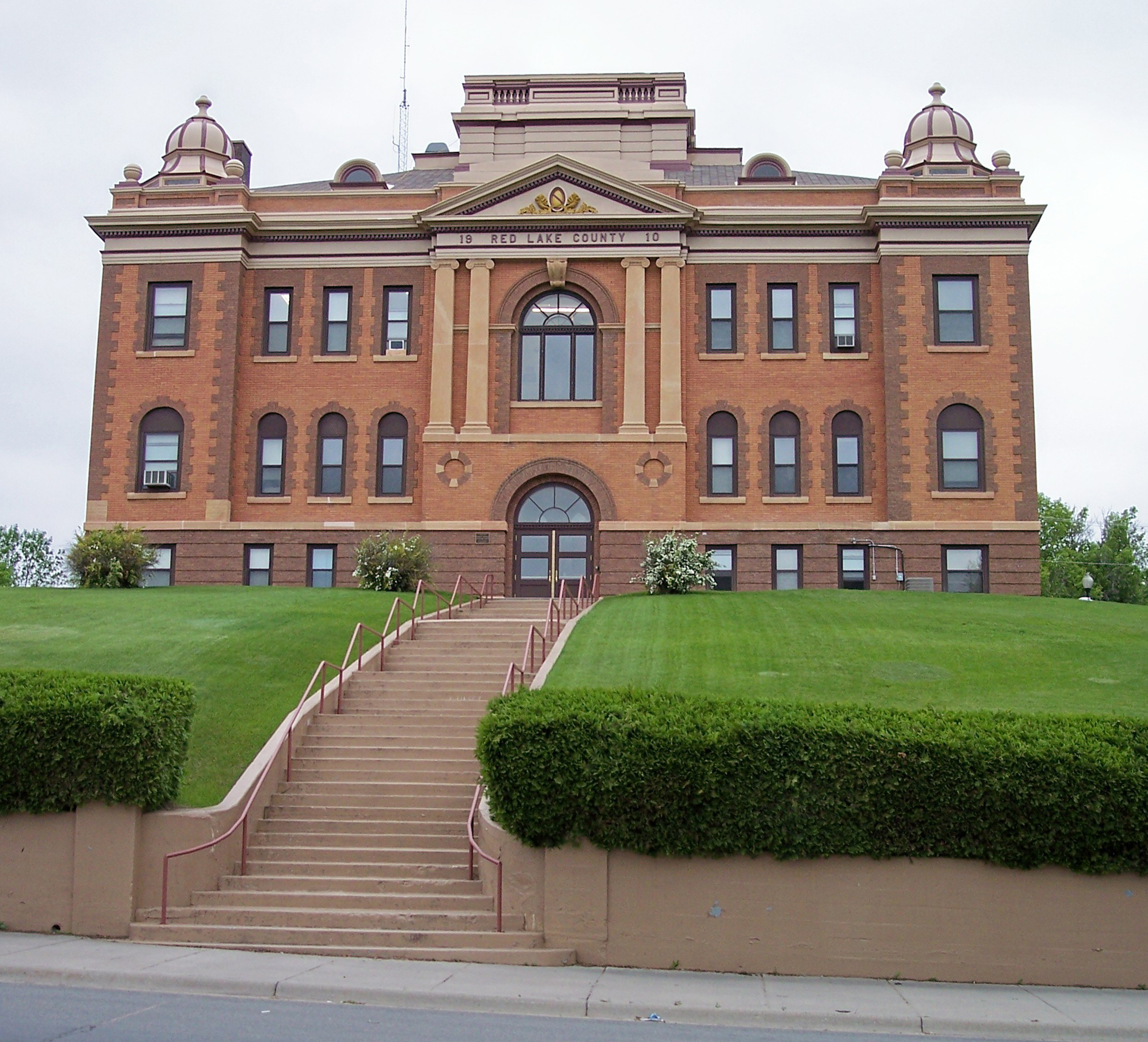
47°55′41″N 95°46′28″W / 47.92806°N 95.77444°WEquality Township 2 Red Lake County Courthouse 
May 9, 1983 124 Langevin
47°53′4″N 96°16′31″W / 47.88444°N 96.27528°WRed Lake Falls Redwood County
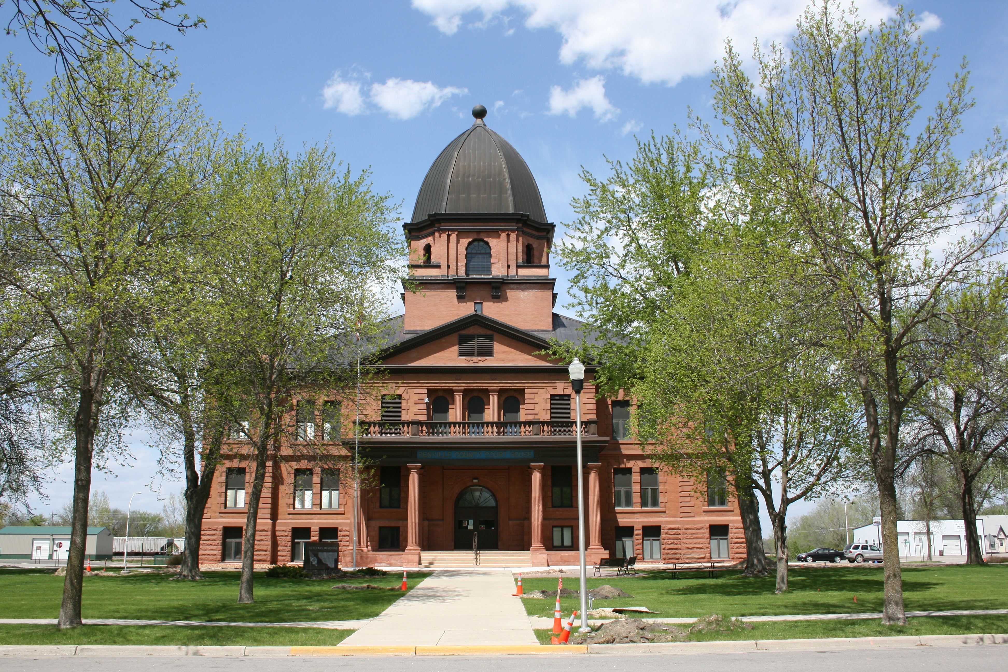
Renville County
Landmark name Image Date listed Location City or Town Summary 1 Birch Coulee June 4, 1973 Off County Highways 2 and 18
44°34′35″N 94°58′29″W / 44.57639°N 94.97472°WMorton Site of the Battle of Birch Coulee 2 Joseph Brown House Ruins August 3, 1986 County Road 15
44°45′1″N 95°19′28″W / 44.75028°N 95.32444°WSacred Heart 3 Heins Block August 8, 2001 102-104 N. 9th St.
44°46′36″N 94°59′23″W / 44.77667°N 94.98972°WOlivia 4 Minneapolis and St. Louis Depot 
July 24, 1986 Park St. and 2nd Ave., S.
44°31′35″N 94°43′11″W / 44.52639°N 94.71972°WFairfax 5 Renville County Courthouse and Jail 
June 13, 1986 500 E. DePue Ave.
44°46′35″N 94°55′9″W / 44.77639°N 94.91917°WOlivia 6 Lars Rudi House July 24, 1986 County Road 15
44°40′19″N 95°17′37″W / 44.67194°N 95.29361°WSacred Heart Rice County
Rock County
Roseau County
Landmark name Image Date listed Location City or Town Summary 1 Canadian National Depot April 6, 1982 121 Main Ave., NE.
48°54′23″N 95°19′6″W / 48.90639°N 95.31833°WWarroad 2 Lodge Boleslav Jablonsky No. 219 September 6, 2002 30033 110th St.
48°33′20″N 95°56′57″W / 48.55556°N 95.94917°WPoplar Grove 3 Roseau County Courthouse August 15, 1985 216 Center St., W.
48°50′45″N 95°45′55″W / 48.84583°N 95.76528°WRoseau Scott County
Sherburne County
Landmark name Image Date listed Location City or Town Summary 1 Elkhi Stadium 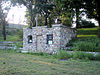
May 26, 2004 Main St. and Norfolk Ave.
45°18′17″N 93°34′31″W / 45.30472°N 93.57528°WElk River 2 Herbert M. Fox House 
April 10, 1980 10775 27th Ave., SE.
45°25′4″N 93°53′20″W / 45.41778°N 93.88889°WBecker 3 Oliver H. Kelley Homestead 
October 15, 1966 2 mi (3.2 km) southeast of Elk River on U.S. Route 10
45°15′35″N 93°32′12″W / 45.25972°N 93.53667°WElk River Description 4 Minnesota State Reformatory for Men Historic District July 17, 1986 Off Minnesota Highway 301
45°32′35″N 94°7′0″W / 45.54306°N 94.116667°WSt. Cloud Sibley County
Landmark name Image Date listed Location City or Town Summary 1 Church of St. Thomas September 16, 1991 County Highways 6 and 9
44°35′57″N 93°53′57″W / 44.59917°N 93.89917°WHenderson 2 Gibbon Village Hall August 19, 1982 1st Ave. and 12th St.
44°32′4″N 94°31′33″W / 44.53444°N 94.52583°WGibbon 3 Henderson Commercial Historic District 
December 20, 1988 Roughly Main St. between 5th and 6th Sts.
44°31′42″N 93°54′25″W / 44.52833°N 93.90694°WHenderson 4 August F. Poehler House 
February 4, 1982 700 Main St.
44°31′42″N 93°54′33″W / 44.52833°N 93.90917°WHenderson 5 Sibley County Courthouse and Sheriff's Residence and Jail December 29, 1988 400 Court St. and 319 Park Ave.
44°33′22″N 94°13′14″W / 44.55611°N 94.22056°WGaylord 6 Sibley County Courthouse-1879 
July 2, 1979 6th and Main Sts.
44°31′42″N 93°54′33″W / 44.52833°N 93.90917°WHenderson [2] St. Louis County
Stearns County
Steele County
Stevens County
Landmark name Image Date listed Location City or Town Summary 1 Alberta Teachers House February 11, 1983 Main St.
45°34′33″N 96°2′52″W / 45.57583°N 96.04778°WAlberta 2 Morris Carnegie Library January 27, 1983 Nevada and 6th Sts.
45°35′9″N 95°55′2″W / 45.58583°N 95.91722°WMorris 3 Morris High School May 25, 2004 600 Columbia Ave.
45°35′27″N 95°54′24″W / 45.59083°N 95.90667°WMorris (Is this same or different from current Morris Area High School? NRHP name has no "area". ) 4 Morris Industrial School for Indians Dormitory May 10, 1984 Off 4th St.
45°35′21″N 95°54′3″W / 45.58917°N 95.90083°WMorris (ed. note: needs article separate from University of Minnesota Morris ) 5 Lewis H. Stanton House August 19, 1982 907 Park St.
45°35′14″N 95°55′25″W / 45.58722°N 95.92361°WMorris 6 West Central School of Agriculture and Experiment Station Historic District January 15, 2003 600 E. 4th St.
45°35′24″N 95°54′4″W / 45.59°N 95.90111°WMorris (ed. note: needs article separate from University of Minnesota Morris ) Swift County
Todd County
Traverse County
Landmark name Image Date listed Location City or Town Summary 1 Browns Valley Carnegie Public Library August 15, 1985 Broadway Ave. and 2nd St.
45°38′56″N 96°49′43″W / 45.64889°N 96.82861°WBrowns Valley 2 Chicago, Milwaukee and St. Paul Depot 100px August 23, 1985 Broadway Ave. and Front St.
45°48′17″N 96°29′59″W / 45.80472°N 96.49972°WWheaton 3 District No. 44 School July 20, 2011 U.S. Route 75 (Taylor Township)
46°0′2″N 96°29′35″W / 46.00056°N 96.49306°WCampbell vicinity 4 Fort Wadsworth Agency and Scout Headquarters Building July 17, 1986 Broadway and Dakota Aves.
45°35′33″N 96°41′16″W / 45.5925°N 96.68778°WBrowns Valley 5 Larson's Hunters Resort August 15, 1985 County Highway 76
45°49′29″N 96°34′17″W / 45.82472°N 96.57139°WWheaton Wabasha County
Wadena County
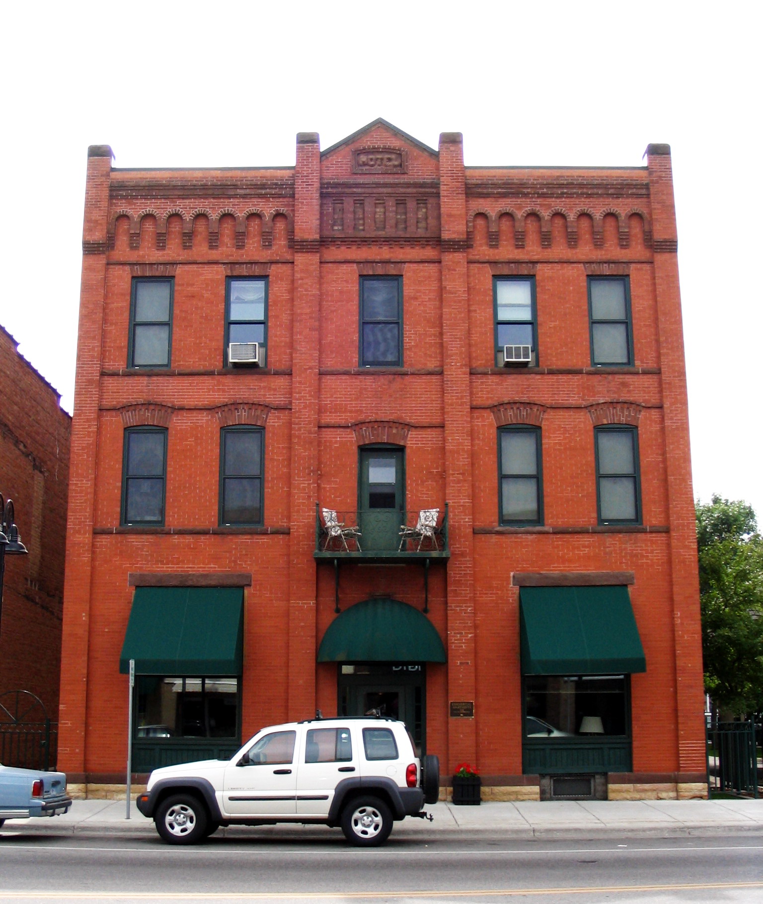
Landmark name Image Date listed Location City or Town Summary 1 Blueberry Lake Village Site October 2, 1973 Address Restricted Menahga 2 Commercial Hotel 
December 22, 1988 Jefferson St., S.
46°26′22″N 95°8′15″W / 46.43944°N 95.1375°WWadena 3 Northern Pacific Passenger Depot 
January 3, 1989 Off 1st St., SW.
46°26′32″N 95°8′16″W / 46.44222°N 95.13778°WWadena 4 Old Wadena Historic District October 9, 1973 Address Restricted Staples 5 Peterson-Biddick Seed and Feed Company January 30, 1989 102 SE. Aldrich Ave.
46°26′27″N 95°8′4″W / 46.44083°N 95.13444°WWadena 6 Reaume's Trading Post December 24, 1974 Address Restricted Wadena 7 Wadena Fire and City Hall 
January 19, 1989 10 SE. Bryant Ave.
46°26′24″N 95°8′10″W / 46.44°N 95.13611°WWadena Currently houses a chiropractor's office. Waseca County
Washington County
Watonwan County
Landmark name Image Date listed Location City or Town Summary 1 Flanders' Block March 8, 1984 30 W. Main St.
44°3′2″N 94°25′3″W / 44.05056°N 94.4175°WMadelia 2 Grand Opera House 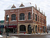
December 23, 2009 502 1st Ave., S.
43°58′53.72″N 94°37′45.96″W / 43.9815889°N 94.6294333°WSt. James 3 Nelson and Albin Cooperative Mercantile Association Store January 7, 1987 County Highway 6
44°6′31″N 94°38′22″W / 44.10861°N 94.63944°WLa Salle 4 Alfred R. Voss Farmstead October 27, 1988 County Highway 27
43°57′21″N 94°36′48″W / 43.95583°N 94.61333°WSt. James 5 Watonwan County Courthouse 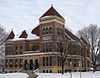
January 7, 1987 7th St., S. and 2nd Ave., S.
43°58′53″N 94°37′32″W / 43.98139°N 94.62556°WSt. James Wilkin County
Landmark name Image Date listed Location City or Town Summary 1 Femco Farm No. 2 
July 17, 1980 County Road 153
46°27′27″N 96°39′34″W / 46.4575°N 96.65944°WKent 2 J. A. Johnson Blacksmith Shop February 23, 1996 Junction of Main Ave., W. and 2nd St., W.
46°28′30″N 96°16′58″W / 46.475°N 96.28278°WRothsay 3 David N. Peet Farmstead July 17, 1980 County Road 32
46°37′2″N 96°38′43″W / 46.61722°N 96.64528°WWolverton 4 Stiklestad United Lutheran Church July 17, 1980 County Road 17
46°10′39″N 96°24′35″W / 46.1775°N 96.40972°WDoran 5 Tenney Fire Hall 
July 17, 1980 Concord Ave.
46°2′21″N 96°27′9″W / 46.03917°N 96.4525°WTenney 6 Wilkin County Courthouse 
July 17, 1980 316 S. 5th
46°15′37″N 96°35′13″W / 46.26028°N 96.58694°WBreckenridge 7 Wolverton Public School July 17, 1980 N. 1st St.
46°33′55″N 96°44′6″W / 46.56528°N 96.735°WWolverton Winona County
Wright County
Yellow Medicine County
Landmark name Image Date listed Location City or Town Summary 1 Canby Commercial Historic District November 25, 1980 Roughly 1st and 2nd Sts. and St. Olaf Ave.
44°42′33″N 96°16′34″W / 44.70917°N 96.27611°WCanby 2 John G. Lund House October 2, 1978 101 W. 4th St.
44°42′42″N 96°16′21″W / 44.71167°N 96.2725°WCanby 3 Lundring Service Station June 20, 1986 201 1st St., E.
44°42′28″N 96°16′29″W / 44.70778°N 96.27472°WCanby 4 Swede Prairie Progressive Farmers' Club June 13, 1986 County Highway 9
44°39′34″N 95°54′12″W / 44.65944°N 95.90333°WClarkfield 5 Upper Sioux Agency October 15, 1970 Address Restricted Granite Falls 6 Andrew John Volstead House 
December 30, 1974 163 9th Ave.
44°48′33″N 95°32′21″W / 44.80917°N 95.53917°WGranite Falls Home of Andrew Volstead, the sponsor of the Volstead Act that outlawed alcohol nationwide 7 Wood Lake Battlefield Historic District July 30, 2010 Intersection of 218 Ave. and 600 St.
44°42′18″N 95°26′30″W / 44.705°N 95.44167°WSioux Agency Township vicinity See also
References
- ^ "National Register of Historic Places: Weekly List Actions". National Park Service, United States Department of the Interior. Retrieved on November 10, 2011.
- ^ "National Register Information System". National Register of Historic Places. National Park Service. 2008-04-24. http://nrhp.focus.nps.gov/natreg/docs/All_Data.html.
- ^ "National Register of Historic Places: Weekly List Actions". National Park Service. http://www.cr.nps.gov/nr/nrlist.htm. Retrieved January 2, 2009.
- ^ Weekly List Actions, National Register of Historic Places website
- ^ The following sites are listed in multiple counties: Anoka-Champlin Mississippi River Bridge (Anoka and Hennepin), Broadway Bridge (St. Peter, Minnesota), (Le Sueur and Nicollet), Crow Wing State Park (Cass, Crow Wing and Morrison), Fort Snelling (Dakota and Hennepin), Fort Snelling-Mendota Bridge (Dakota and Hennepin), Hanover Bridge (Hennepin and Wright), Intercity Bridge (Hennepin and Ramsey), Itasca State Park (Becker, Clearwater and Hubbard), Lac qui Parle Mission Site (Chippewa and Lac Qui Parle), Meeker Island Lock and Dam (Hennepin and Ramsay), and Winnibigoshish Lake Dam (Cass and Itasca).
U.S. National Register of Historic Places Topics Lists by states Alabama • Alaska • Arizona • Arkansas • California • Colorado • Connecticut • Delaware • Florida • Georgia • Hawaii • Idaho • Illinois • Indiana • Iowa • Kansas • Kentucky • Louisiana • Maine • Maryland • Massachusetts • Michigan • Minnesota • Mississippi • Missouri • Montana • Nebraska • Nevada • New Hampshire • New Jersey • New Mexico • New York • North Carolina • North Dakota • Ohio • Oklahoma • Oregon • Pennsylvania • Rhode Island • South Carolina • South Dakota • Tennessee • Texas • Utah • Vermont • Virginia • Washington • West Virginia • Wisconsin • WyomingLists by territories Lists by associated states Other Categories:- National Register of Historic Places lists by state
- National Register of Historic Places in Minnesota
- Minnesota-related lists
-


![[1]](http://commons.wikimedia.org/wiki/Image:GrantCC.jpg)
Wikimedia Foundation. 2010.