- National Register of Historic Places listings in Brown County, Minnesota
-
This is a list of entries on the National Register of Historic Places in Brown County, Minnesota.
Brown County is a county located in the southwestern part of the U.S. state of Minnesota, bounded on the south by Blue Earth, Watonwan, and Cottonwood Counties, the east by the Minnesota River and Nicollet County, the north by Renville County and the west by Redwood County.
Contents
Current listings
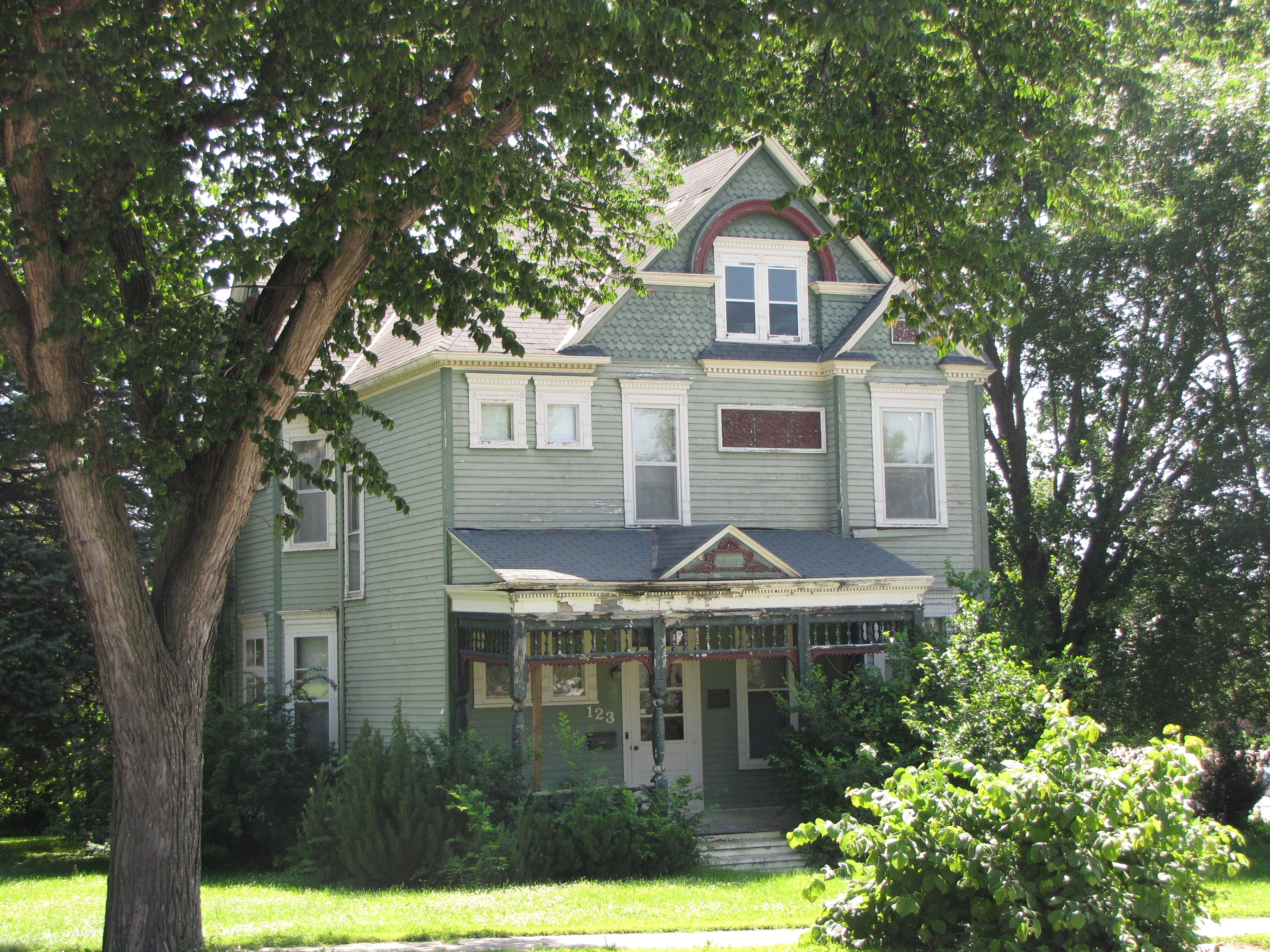
[1] Landmark name Image Date listed Location City or town Summary 1 Bendixon-Schmid House 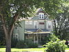
December 31, 1979 123 N. Marshall St.
44°14′27″N 94°58′32″W / 44.240833°N 94.975556°WSpringfield 2 Bjorneberg Garage 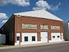
December 31, 1979 Broadway St.
44°08′53″N 94°29′38″W / 44.148056°N 94.493889°WHanska 3 Boesch, Hummel, and Maltzahn Block 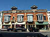
December 31, 1979 6-12 N. Minnesota St.
44°18′49″N 94°27′32″W / 44.313611°N 94.458889°WNew Ulm 4 Chicago and North Western Depot 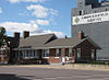
June 25, 1992 Oak St., NW.
44°17′53″N 94°43′25″W / 44.298056°N 94.723611°WSleepy Eye 5 Chicago and North Western Railroad Depot 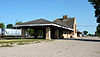
December 31, 1979 S. Valley St.
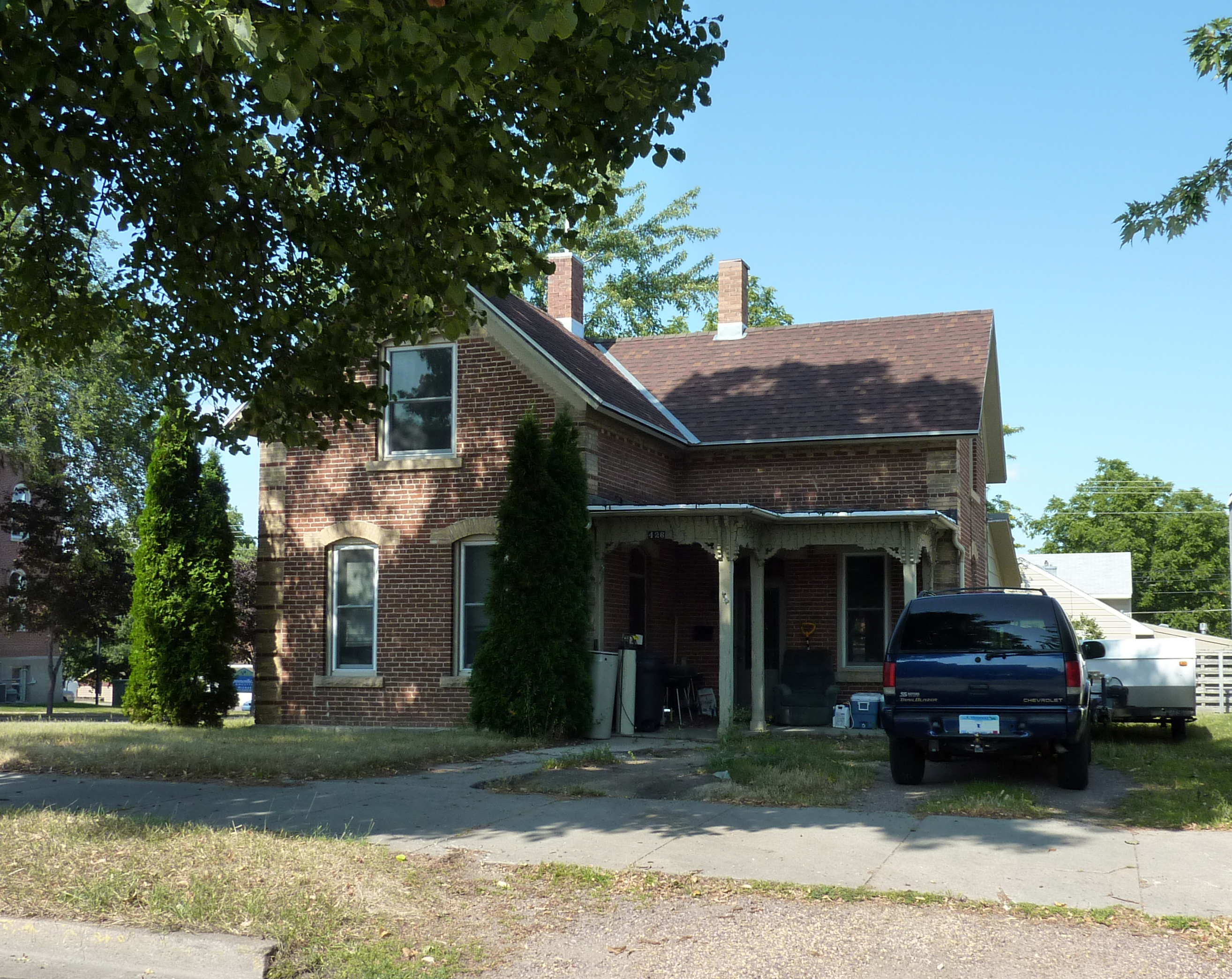
44°18′47″N 94°27′12″W / 44.313056°N 94.453333°WNew Ulm 36 Cobden Jail December 31, 1979 2nd Street Cobden, Minnesota 6 Bernard Fesenmaier House 
December 31, 1979 426 N. State St.
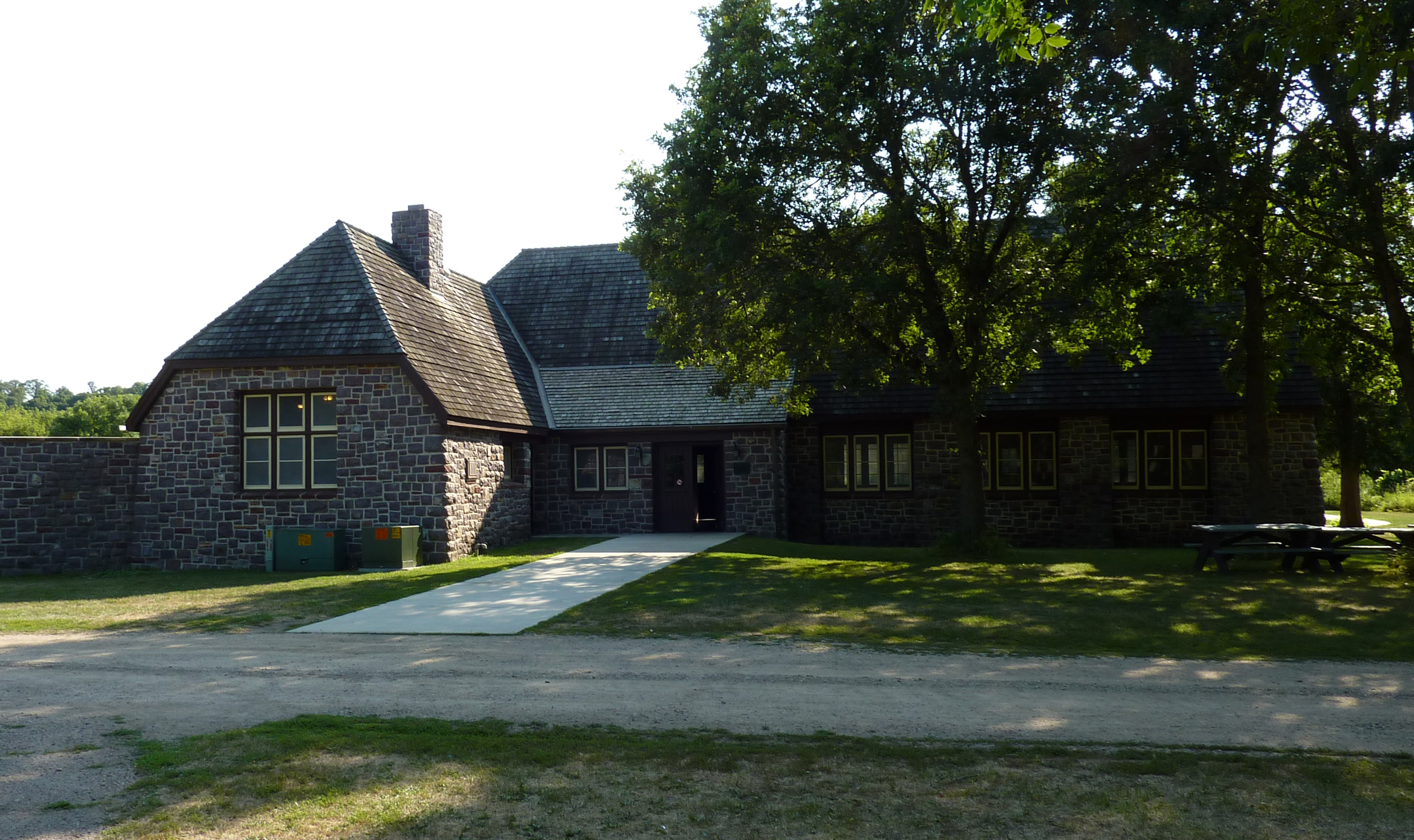
44°19′00″N 94°27′58″W / 44.316667°N 94.466111°WNew Ulm 7 Flandrau State Park CCC/WPA/Rustic Style Historic Resources 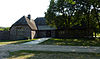
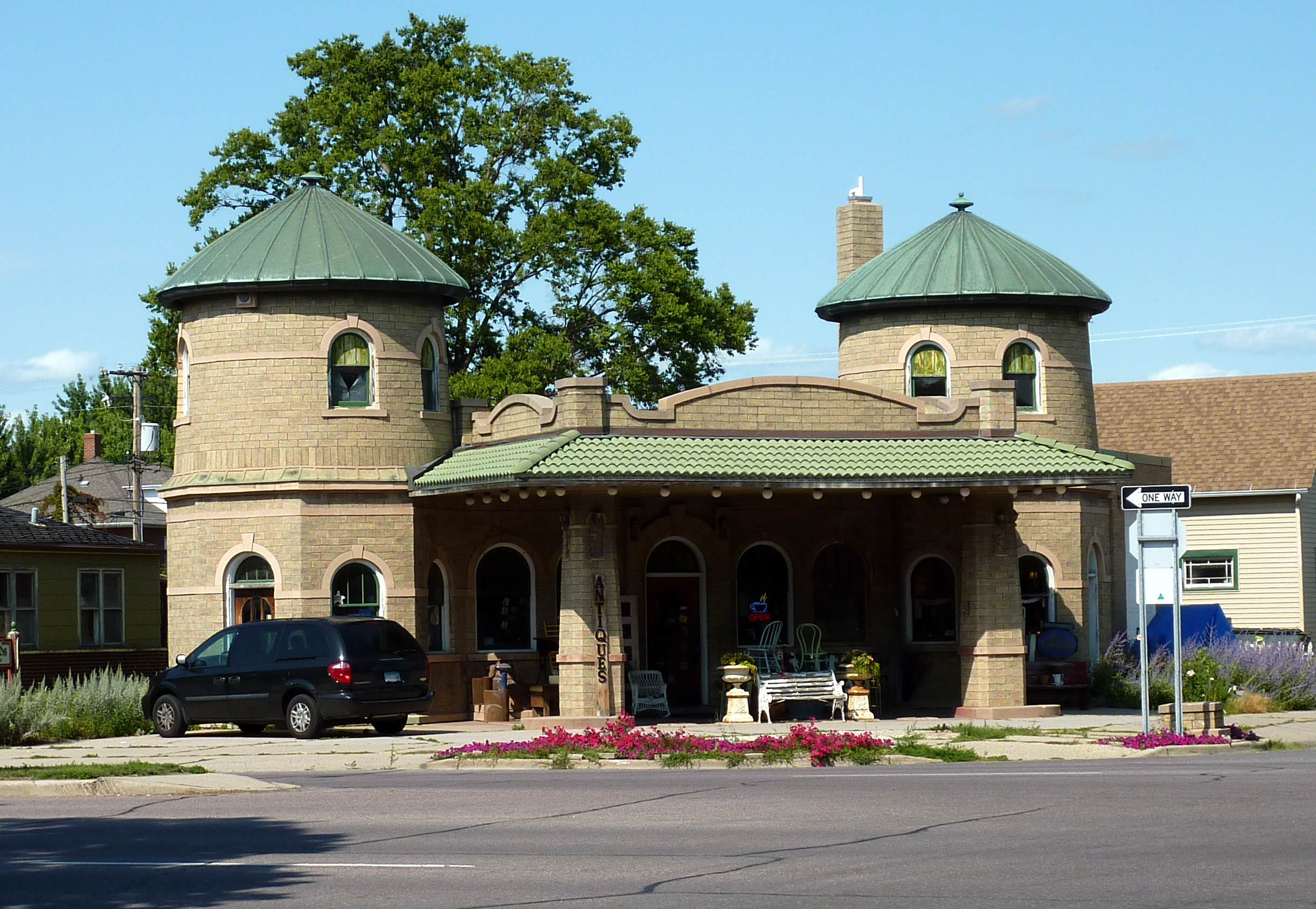
October 25, 1989 Off County Highway 13 southeast of New Ulm
44°17′16″N 94°28′07″W / 44.287778°N 94.468611°WNew Ulm 8 Wanda Gag Childhood Home 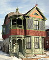
December 31, 1979 226 N. Washington St.
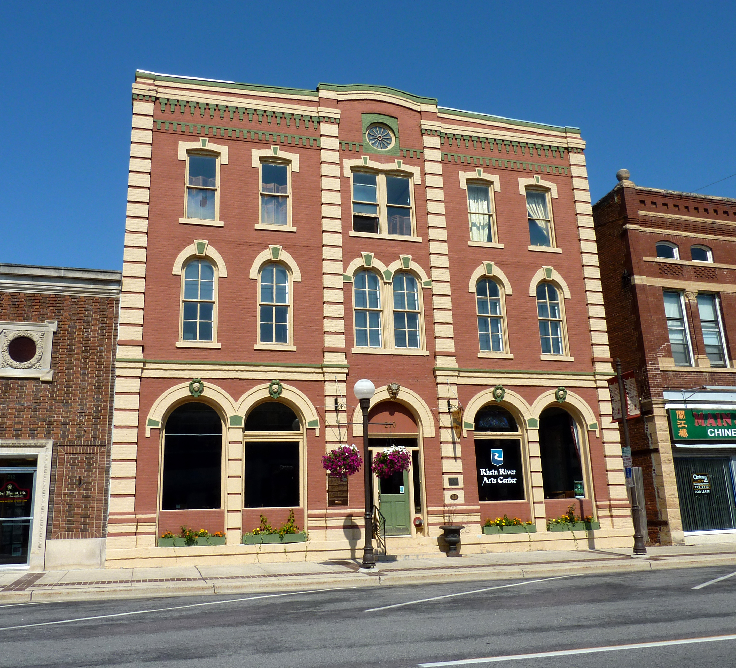
44°18′50″N 94°27′56″W / 44.313889°N 94.465556°WNew Ulm 9 Grand Hotel 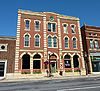
June 21, 1990 210 N. Minnesota St.
44°18′54″N 94°27′37″W / 44.315°N 94.460278°WNew Ulm 10 Hermann Monument 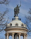
October 2, 1973 Hermann Heights Park
44°18′26″N 94°28′21″W / 44.307222°N 94.4725°WNew Ulm 11 Frederick W. Kiesling House 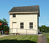
February 23, 1972 220 N. Minnesota St.
44°18′59″N 94°27′38″W / 44.316389°N 94.460556°WNew Ulm 12 Kreitinger Garage 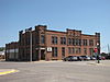
December 31, 1979 1 N. Cass St.
44°14′21″N 94°58′27″W / 44.239167°N 94.974167°WSpringfield 13 Lampert Lumber Company Line Yard December 31, 1979 Center St.
44°19′30″N 94°36′19″W / 44.325°N 94.605278°WNew Ulm 14 Liberal Union Hall 
December 31, 1979 Broadway and Main Sts.
44°08′56″N 94°29′37″W / 44.148889°N 94.493611°WHanska 15 Gov. John Lind House 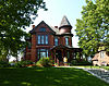
December 31, 1974 622 Center St.
44°18′45″N 94°27′41″W / 44.3125°N 94.461389°WNew Ulm 16 Melges Bakery 
June 28, 1974 213 S. Minnesota St.
44°18′44″N 94°27′26″W / 44.312222°N 94.457222°WNew Ulm 17 New Ulm Armory 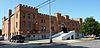
December 31, 1979 205 N. Broadway St.
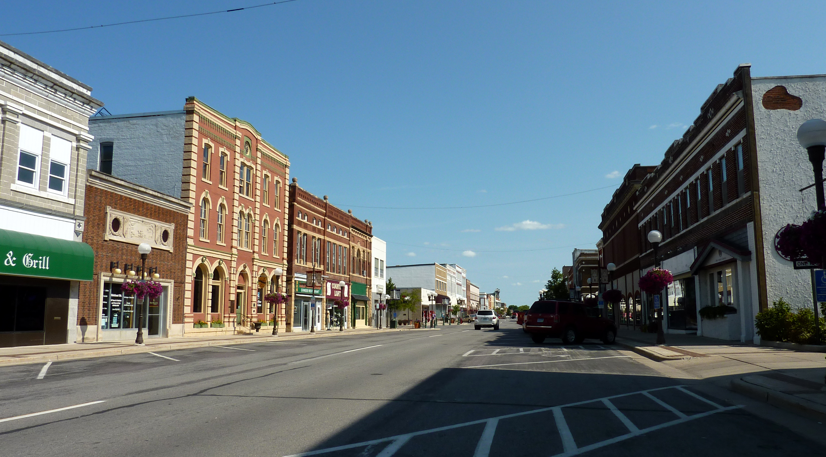
44°18′52″N 94°27′46″W / 44.314444°N 94.462778°WNew Ulm 18 New Ulm Commercial Historic District 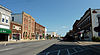
December 21, 2005 Roughly bounded by Minnesota St. between 1st St., S. and 3rd St., N.
44°18′51″N 94°27′35″W / 44.314167°N 94.459722°WNew Ulm 19 New Ulm Oil Company Service Station 
December 31, 1979 Broadway and 5th Sts.
44°19′04″N 94°27′54″W / 44.317778°N 94.465°WNew Ulm 20 New Ulm Post Office 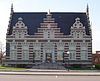
April 28, 1970 Center St. and Broadway
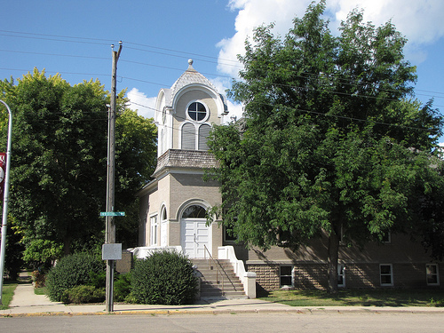
44°18′47″N 94°27′36″W / 44.313056°N 94.46°WNew Ulm 21 Nora Free Christian Church 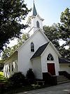
August 4, 1988 Minnesota Highway 257
44°08′36″N 94°28′52″W / 44.143333°N 94.481111°WHanska 22 Adolph C. Ochs House 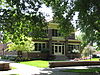
December 31, 1979 303 N. Marshall St.
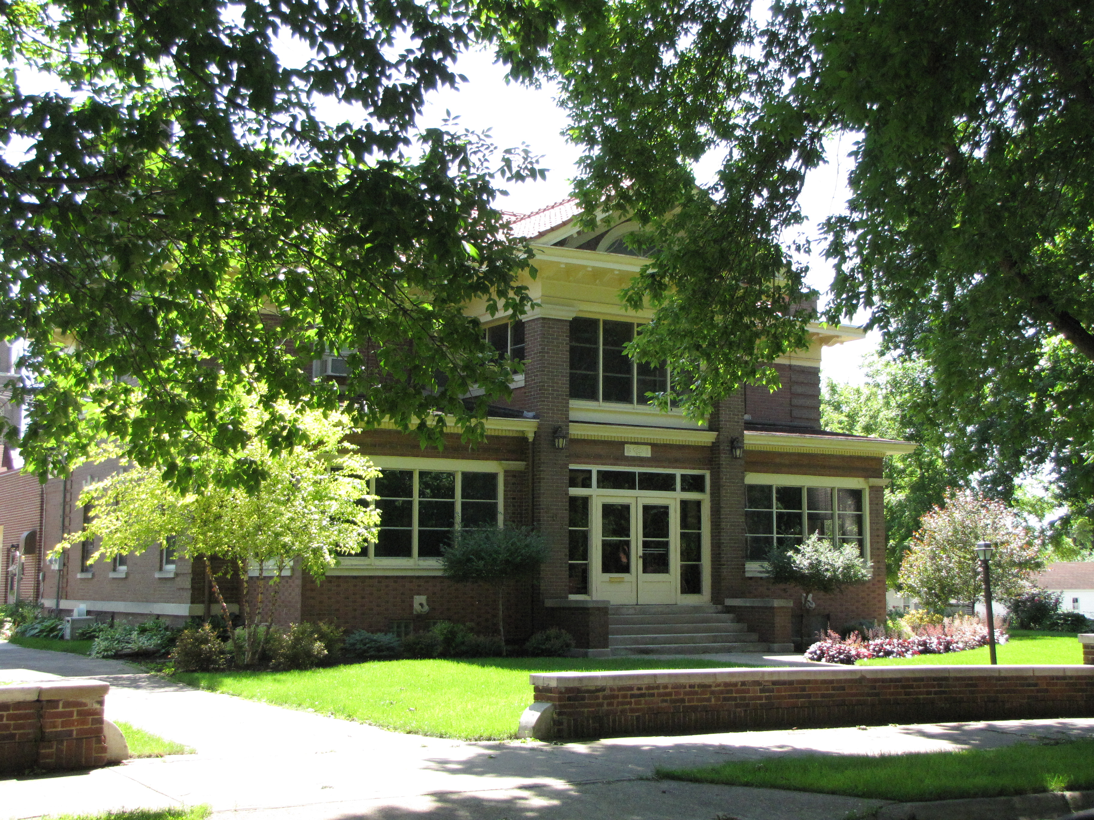
44°14′32″N 94°58′32″W / 44.242222°N 94.975556°WSpringfield 23 Old Main, Dr. Martin Luther College 
December 31, 1979 College Heights, Martin Luther College campus
44°18′21″N 94°28′16″W / 44.305833°N 94.471111°WNew Ulm 24 August Schell Brewing Company 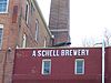
December 27, 1974 20th South St.
44°17′20″N 94°27′02″W / 44.288889°N 94.450556°WNew Ulm 25 Otto Schell House December 31, 1979 Point Lookout
44°17′29″N 94°26′49″W / 44.291389°N 94.446944°WNew Ulm 26 Shady Lane Stock Farm December 31, 1979 U.S. Route 14 Springfield 27 Sleepy Eye Milling Company 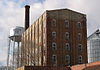
February 8, 1991 Junction of 4th and Oak Sts., NE.
44°17′54″N 94°43′19″W / 44.298333°N 94.721944°WSleepy Eye 28 W. W. Smith House 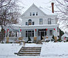
December 31, 1979 101 Linden St., SW.
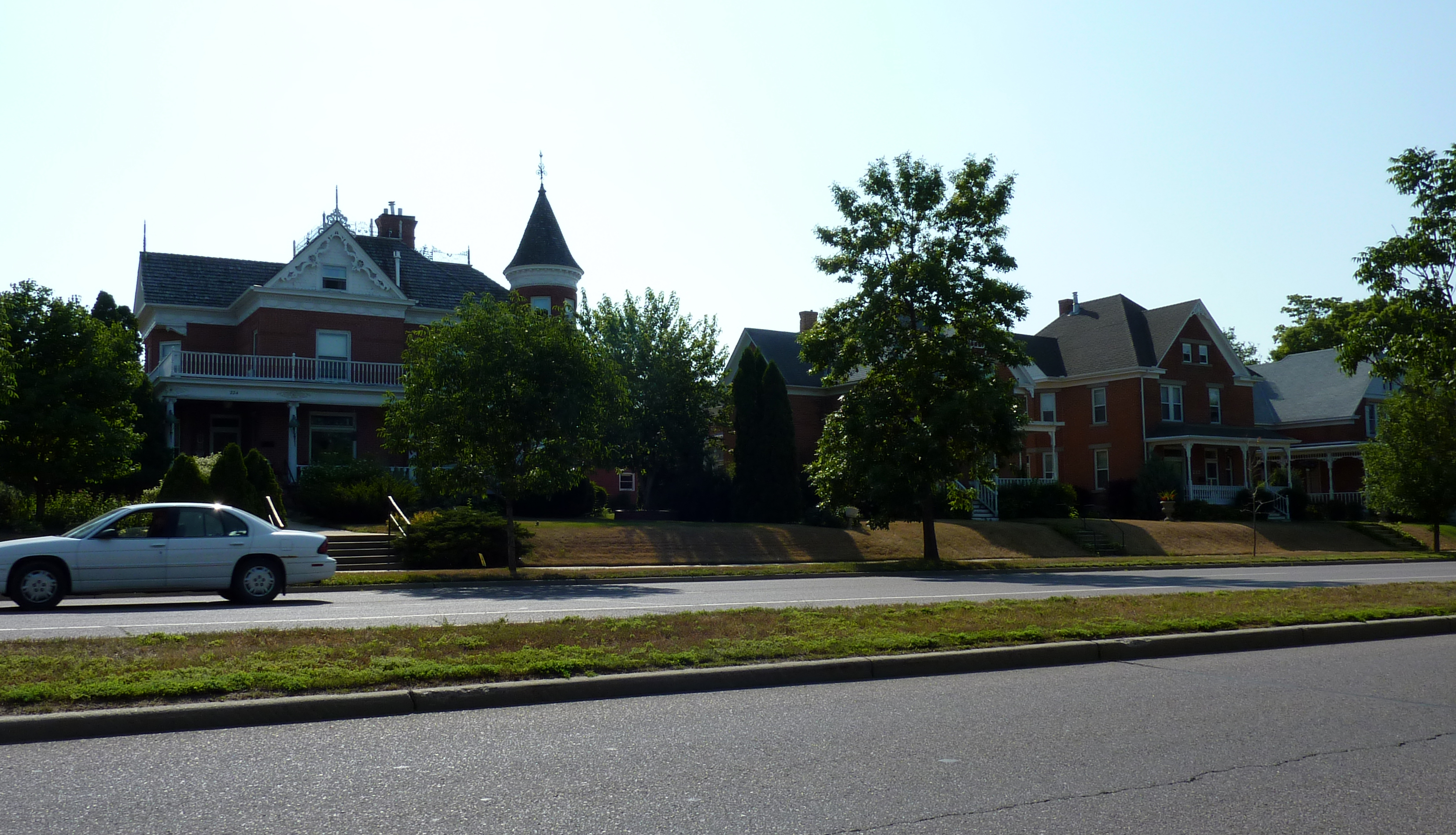
44°17′34″N 94°43′23″W / 44.292778°N 94.723056°WSleepy Eye 29 South Broadway Historic District 
December 31, 1979 200-308 S. Broadway
44°18′35″N 94°27′29″W / 44.309722°N 94.458056°WNew Ulm 30 South German Street Historic District 
December 31, 1979 110-312 S. German St.
44°18′42″N 94°27′20″W / 44.311667°N 94.455556°WNew Ulm 31 St. Michael's School and Convent 
December 31, 1979 500 N. State St.
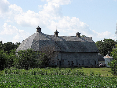
44°19′01″N 94°27′59″W / 44.316944°N 94.466389°WNew Ulm 32 Synsteby Site May 12, 1975 Address Restricted Hanska 33 Thormodson Barn 
December 31, 1979 Off Minnesota Highway 257
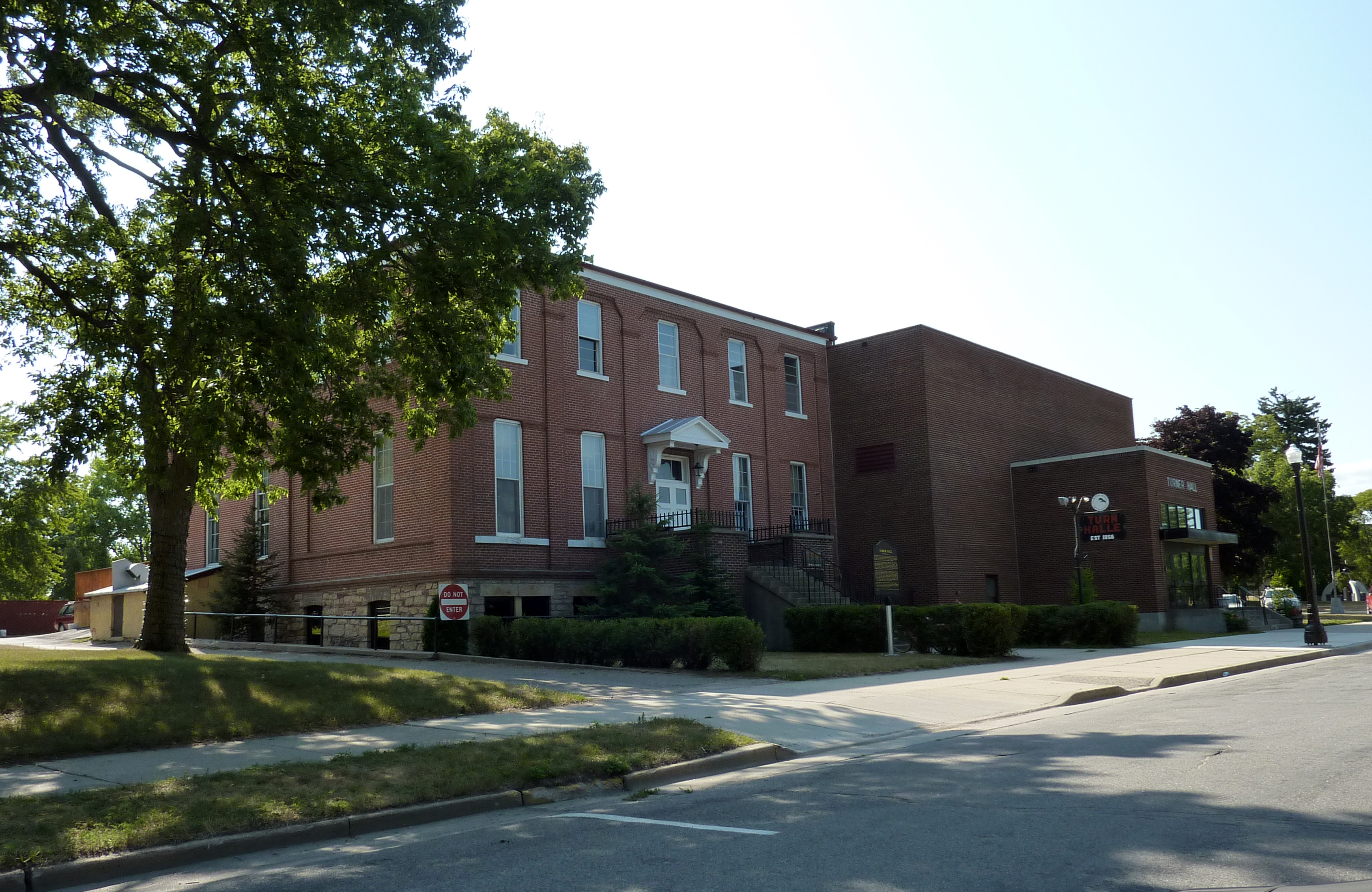
44°07′50″N 94°26′27″W / 44.130556°N 94.440833°WHanska 34 Turner Hall 
December 31, 1979 State and 1st South Sts.
44°18′37″N 94°27′39″W / 44.310278°N 94.460833°WNew Ulm 35 Winona and St. Peter Freight Depot 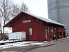
December 31, 1979 Oak St., NE.
44°17′55″N 94°43′16″W / 44.298611°N 94.721111°WSleepy Eye See also
Main article: List of Registered Historic Places in MinnesotaReferences
- ^ Numbers represent an ordering by significant words. Various colorings, defined here, differentiate National Historic Landmark sites and National Register of Historic Places Districts from other NRHP buildings, structures, sites or objects.
Further reading
Nord, Mary Ann (2003). The National Register of Historic Places in Minnesota. Minnesota Historical Society. ISBN 0-87351-448-3.
External links
- A list of the above sites, with street addresses and other information, is available at Brown County, MN listing of National Register of Historic Places.com, a private site serving up NRHP information.
U.S. National Register of Historic Places Topics Lists by states Alabama • Alaska • Arizona • Arkansas • California • Colorado • Connecticut • Delaware • Florida • Georgia • Hawaii • Idaho • Illinois • Indiana • Iowa • Kansas • Kentucky • Louisiana • Maine • Maryland • Massachusetts • Michigan • Minnesota • Mississippi • Missouri • Montana • Nebraska • Nevada • New Hampshire • New Jersey • New Mexico • New York • North Carolina • North Dakota • Ohio • Oklahoma • Oregon • Pennsylvania • Rhode Island • South Carolina • South Dakota • Tennessee • Texas • Utah • Vermont • Virginia • Washington • West Virginia • Wisconsin • WyomingLists by territories Lists by associated states Other Categories:- Brown County, Minnesota
- National Register of Historic Places in Minnesota by county
- Buildings and structures in Brown County, Minnesota


Wikimedia Foundation. 2010.