- North Somerset
-
North Somerset is a name used in the Watsonian vice-county system to refer to a much larger area.
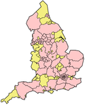
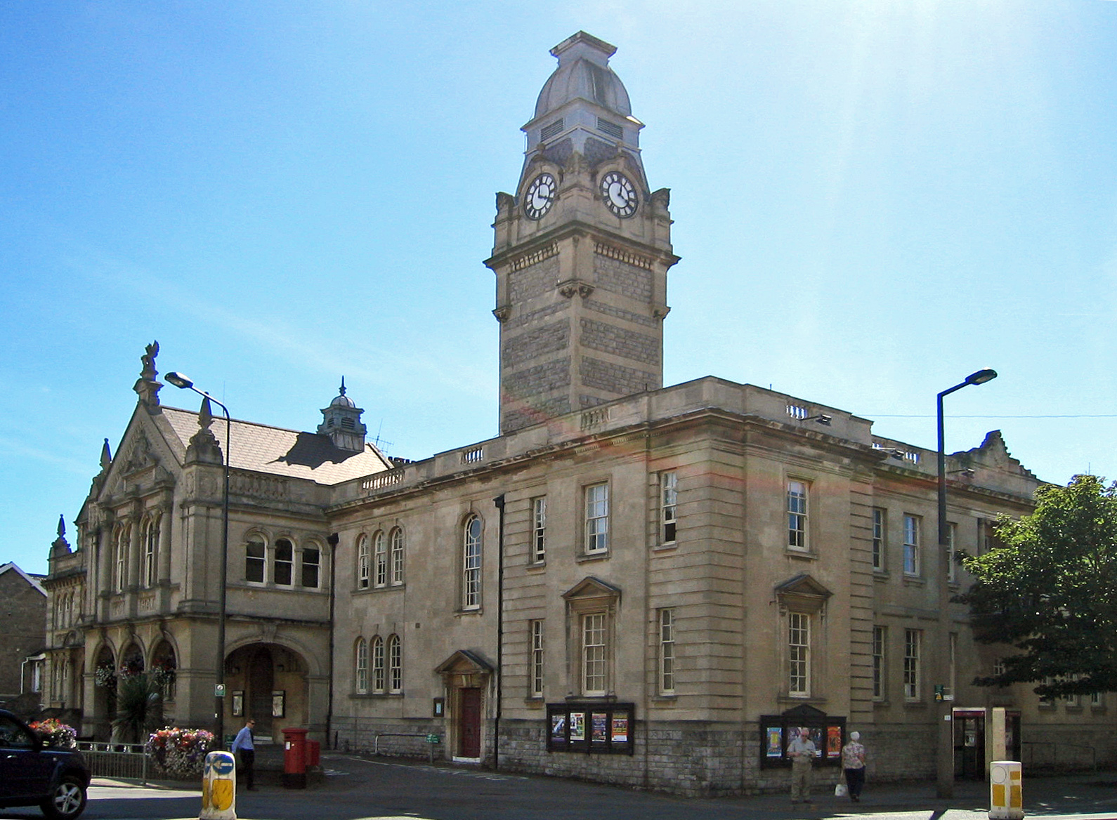
North Somerset — unitary authority — Weston-super-Mare town hall North Somerset shown Somerset
Sovereign state United Kingdom Constituent country England Region South West England Ceremonial county Somerset Admin HQ Weston-super-Mare Created 1 April 1996 Government – Type Unitary Authority – Leader Nigel Ashton – Council Conservative – MPs: John Penrose C, Liam Fox C Area – Total 144.7 sq mi (374.68 km2) Population (2010 est.) – Total 212,200 (Ranked 73rd) Time zone GMT (UTC0) – Summer (DST) BST (UTC+1) ISO 3166 code GB-NSM Website http://www.n-somerset.gov.uk/ North Somerset is a unitary authority in England. Its area covers part of the ceremonial county of Somerset but it is administered independently of the non-metropolitan county. Its administrative headquarters is in the town hall in Weston-super-Mare.
North Somerset borders the local government areas of Bristol, Bath and North East Somerset, Mendip and Sedgemoor. North Somerset contains the parliamentary constituencies of Weston-super-Mare and North Somerset.
Contents
History
Between 1 April 1974 and 31 March 1996, it was the Woodspring district of the county of Avon (named after Woodspring Priory, an isolated mediaeval church near the coast just north east of Weston-super-Mare). The district of Woodspring was formed from the municipal boroughs of Weston-super-Mare, Clevedon and Portishead urban districts, Long Ashton Rural District, and part of Axbridge Rural District.
Though the government proposed that the new unitary area be known as "North West Somerset" from 1 April 1996,[1] the council voted instead to adopt the name "North Somerset" and so the name "North West Somerset" was never widely used. There remained some legal doubt as to whether the council had validly changed the name to "North Somerset",[2] but in 2005 the council passed a resolution to put the matter beyond doubt.[3]
Politics
See also: North Somerset local electionsNorth Somerset unitary council is elected every four years, with currently 61 councillors being elected at each election. Since the first election to the unitary authority in 1995, the council has either been under Conservative party control, or no party has held a majority. Most recently the Conservatives gained a majority at the 2007 election, and as of the 2011 election the council is composed of the following councillors:[4]
Party Councillors Conservative Party 42 Independent 7 Liberal Democrats 6 Labour Party 5 Green Party 1 Settlements and communications
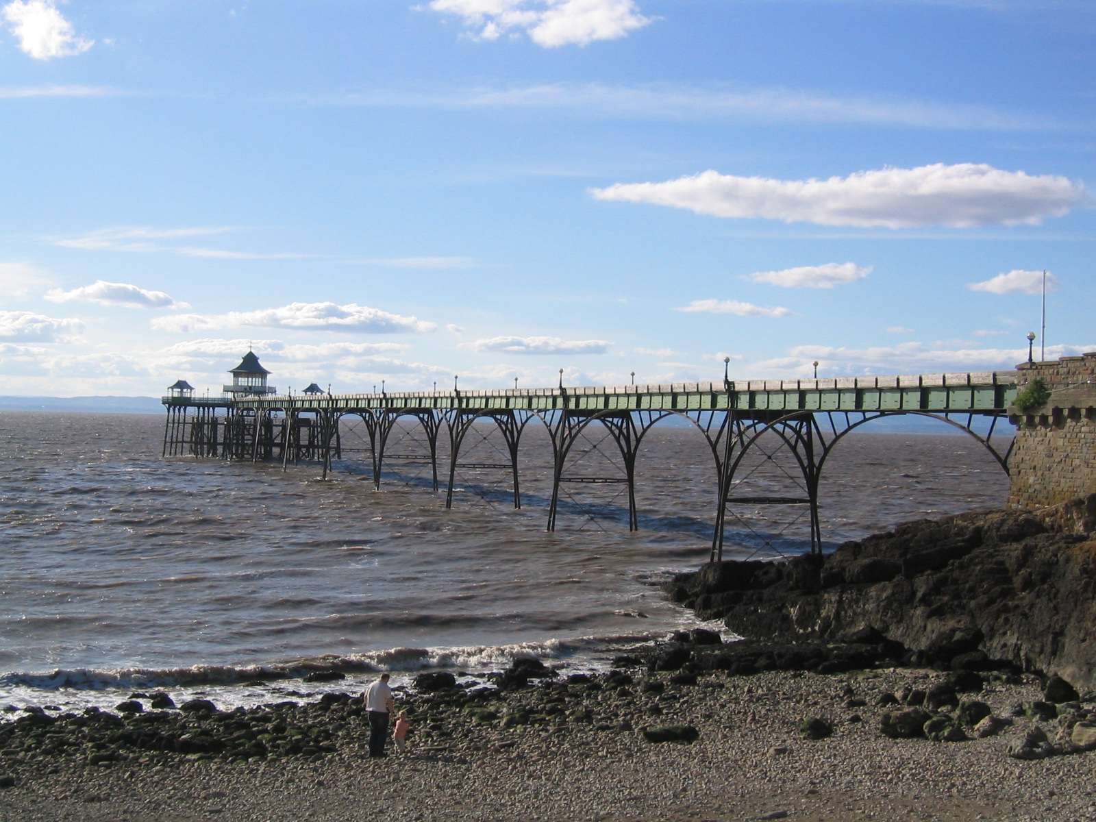
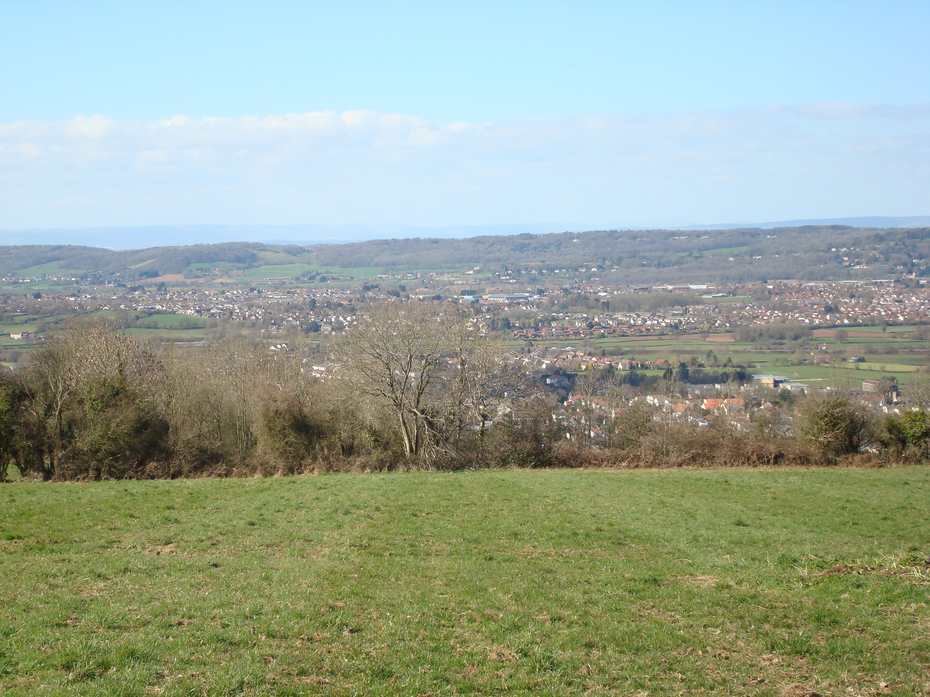
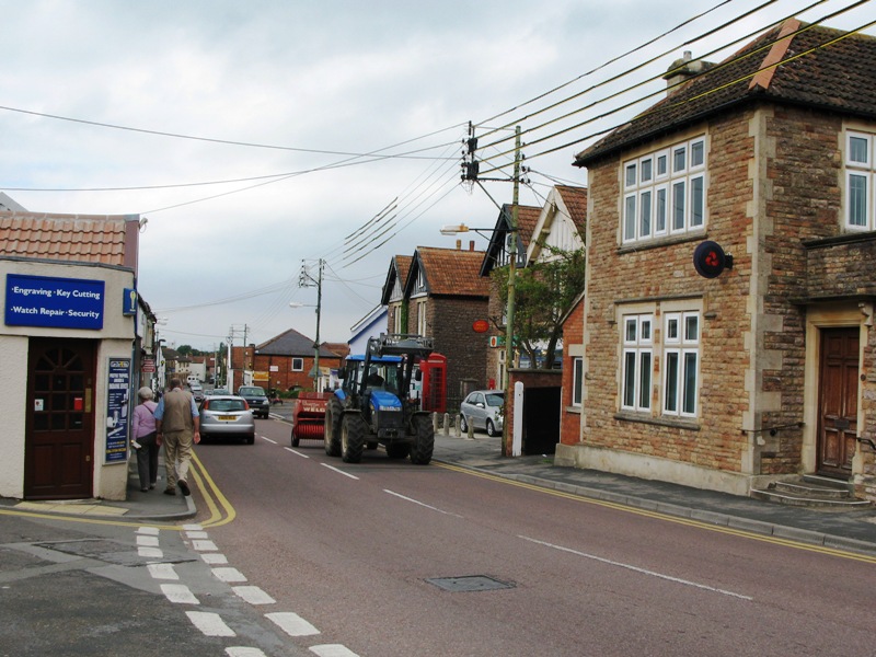
The principal towns in the district are the coastal towns of Weston-super-Mare, Portishead and Clevedon and the commuter town Nailsea.
- Abbots Leigh,
- Backwell, Banwell, Barrow Gurney, Blagdon, Bleadon, Bourton, Brockley, Burrington, Butcombe,
- Chelvey, Christon, Churchill, Clapton in Gordano, Claverham, Clevedon, Cleeve, Congresbury
- Downside, Dundry
- East End, East Rolstone, Easton in Gordano
- Failand, Farleigh, Felton, Flax Bourton
- Ham Green, Hewish, Hutton
- Icelton
- Kenn, Kewstoke, Kingston Seymour
- Leigh Woods, Locking, Long Ashton, Lower Langford, Lower Failand, Loxton, Lulsgate Bottom
- Maiden Head, Milton
- Nailsea, North End
- Portishead
- Pill, Portbury, Puxton
- Redcliff Bay, Redhill, Regil, Rickford
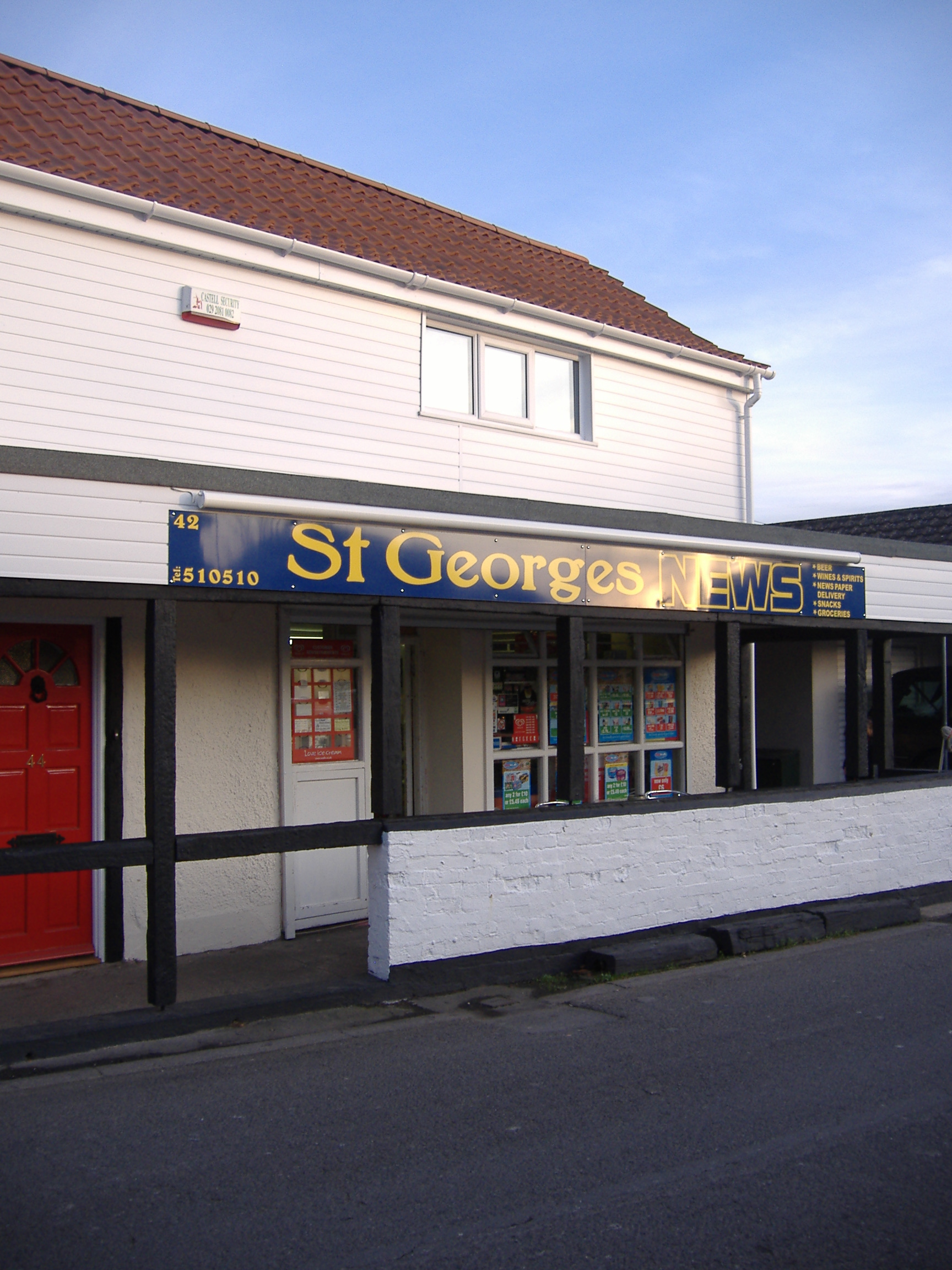
- Sandford, Sheepway, Sidcot, St Georges, St Mary's Grove
- Tickenham
- Uphill, Upper Town
- Walton in Gordano, West Wick, West Hill, West End, West Town, Weston in Gordano, Weston-super-Mare, Wick St. Lawrence, Winford, Winscombe, Worle, Wraxall, Wrington
- Yatton
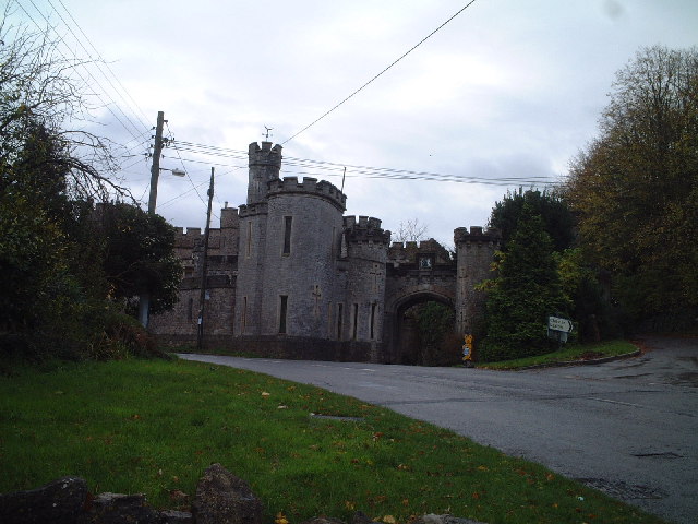
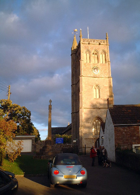
Places of interest
North Somerset's natural environment and coastal towns attract visitors from the nearby cities. Notable geographical features include:
- Gordano Valley
- Mendip Hills – the ridgeway forms part of the district boundary
- Sand Bay and Sand Point
- Worlebury Hill
- Burrington Combe, Goblin Combe, Brockley Combe
- North Somerset Levels
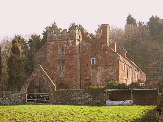
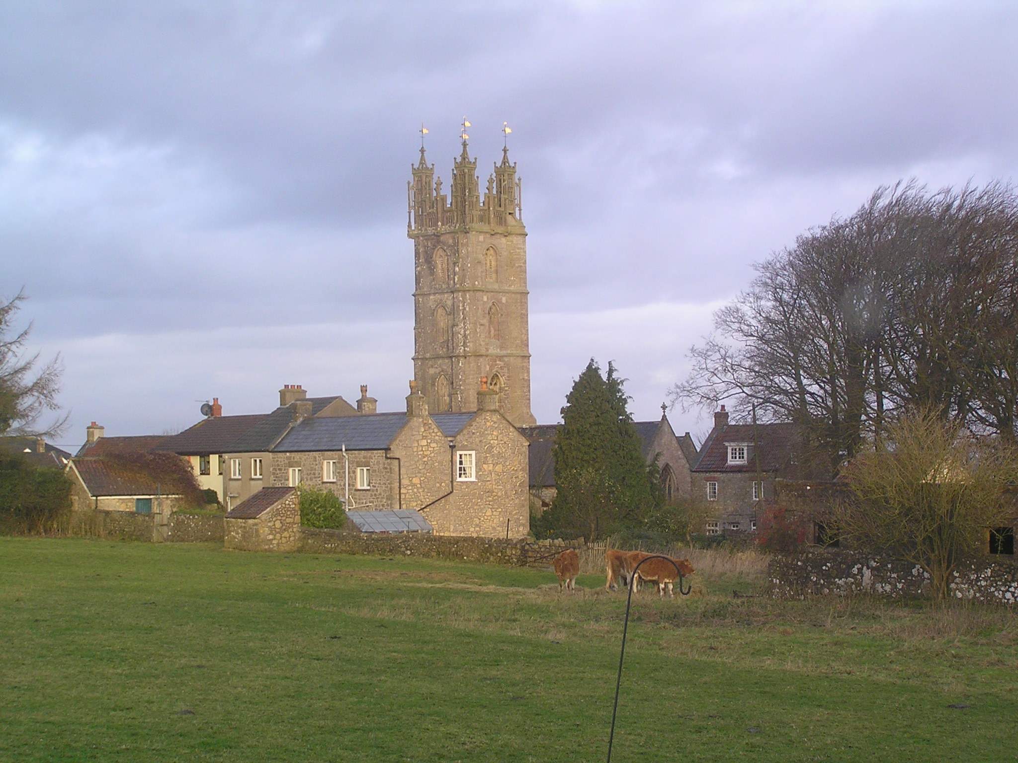
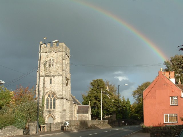
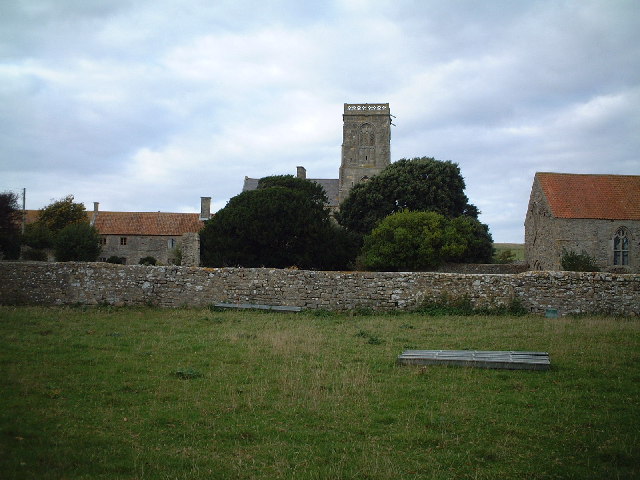
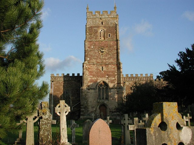
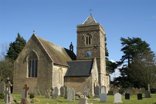
The district is noted for the religious buildings at:
Parishes
Economy
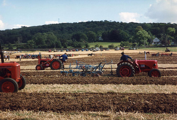
North Somerset's economy is traditionally based on agriculture, including sheep raised for wool on the Mendip Hills and dairy farming in the valleys. During the Georgian era tourism became a significant economic sector in the coastal towns, most notably Weston-super-Mare which grew from a small village to a large resort town. Though tourism declined in the mid to late-20th century, in common with most British coastal resorts, this sector of the economy has stabilised.
In the 19th century the major port city of Bristol found that modern ships had outgrown the narrow river approach and the Port of Bristol company began seeking locations for new docks on the coast. The first of these was Portishead Dock, which handled coal from South Wales, though this too has seen shipping outgrow its facilities. The newer Royal Portbury Dock is noted for the large volume of car imports.
This is a chart of trend of regional gross value added of North and North East Somerset and South Gloucestershire at current basic prices (pp. 240–253) by Office for National Statistics with figures in millions of British Pounds Sterling. [47]
Year Regional Gross Value Added1 Agriculture2 Industry3 Services4 1995 5,916 125 1,919 3,872 2000 8,788 86 2,373 6,330 2003 10,854 67 2,873 7,914 ^1 Components may not sum to totals due to rounding
^2 includes hunting and forestry
^3 includes energy and construction
^4 includes financial intermediation services indirectly measuredDemographics
North Somerset compared UK Census 2001 North Somerset UA[48] South West England[49] England[49] Total population 188,564 4,928,434 49,138,831 Foreign born 9.5% 9.4% 9.2% White 97.1% 97.7% 91% Asian 1.7% 0.7% 4.6% Black 0.9% 0.4% 2.3% Christian 75.0% 74.0% 72% Muslim 0.2% 0.5% 3.1% Hindu 0.1% 0.2% 1.1% No religion 16.6% 16.8% 15% Over 75 years old 9.9% 9.3% 7.5% Unemployed 2.1% 2.6% 3.3% North Somerset covers an area of around 145 square miles (380 km2) and has a resident population of 193,000 (1.4% BME) living in 85,000 households.[50]
The population of North Somerset has doubled since the 1950s and is predicted to rise by 6,184 or 3.0% to 2011 and by 17% to 2026. Whilst the proportion of people in North Somerset who are under 45 is lower than the national average, population growth is predicted to be strongest in the 2034 age group. Conversely North Somerset has a 4.2% higher percentage of older people (60+ female, 65+ male) than the rest of England and Wales. This disparity increases with age with the percentage of the population over 75 years almost 30% higher than the national average, resulting in a relatively aged population.[51]
In 2001 there were 134,132 people of working age living in North Somerset and 91,767 were in employment; an economic activity rate of 68.4%. This is very close to the economic activity rate of the West of England sub-region which was 68.8% in the 2001 census.[50]
The 2001 census stated that 1.38% of North Somerset residents identified themselves as belonging to a visible ethnic group and a further 1.27% identified themselves as ‘white other’.[52]
Population since 1801 [53] Year 1801 1851 1901 1911 1921 1931 1941 1951 1961 1971 1981 1991 2001 Population North Somerset[54] 16,670 33,774 60,066 68,410 75,276 82,833 91,967 102,119 119,509 139,924 160,353 179,865 188,556 Education
The Unitary Authority of North Somerset, provides support for 78 schools, delivering education to approximately 28,000 pupils.[55]
They are listed at List of schools in North Somerset
See also
- List of Grade I listed buildings in North Somerset
References
- ^ "Article 4 of the Avon (Structural Change) Order 1995 (SI 1995/493)". 28 February 1995. http://www.legislation.gov.uk/uksi/1995/493/article/4/made. Retrieved 9 October 2011.
- ^ "Report to the Executive". 14 June 2005. http://www.n-somerset.gov.uk/cairo/docs/doc10395.htm. Retrieved 9 October 2011.
- ^ "Minutes of the Extraordinary Meeting of the Council". 28 June 2005. http://www.n-somerset.gov.uk/cairo/docs/doc10520.htm. Retrieved 9 October 2011.
- ^ "England council elections". BBC News Online. http://www.bbc.co.uk/news/special/election2011/council/html/hc.stm. Retrieved 20 August 2011.
- ^ a b c d e f g h i j k l m n o p q r "A Vision of Britain Through Time : Long Ashton Rural District". Great Britain Historical GIS Project 2004/University of Portsmouth. Data © Office of National Statistics, for England and Wales. http://www.visionofbritain.org.uk/relationships.jsp?u_id=10107763&c_id=10001043. Retrieved 2009-12-08.
- ^ "Parish of Abbots Leigh". 2001 Census Parish Information Sheet. North Somerset Council. http://www.n-somerset.gov.uk/NR/rdonlyres/E56B1AD1-6042-4A4F-8A3A-8D69FB292EBC/0/census_AbbotsLeighParishCensusInfo2001.pdf. Retrieved 2009-12-08.
- ^ "Backwell Ward Profile" (PDF). North Somerset Council. http://www.n-somerset.gov.uk/NR/rdonlyres/C2C7E998-8B49-4475-8B36-CAA79D572E05/0/profile_BackwellWardProfile.pdf. Retrieved 2008-01-03.
- ^ a b c d e f g h i j k l m n o p q r s t "A Vision of Britain Through Time : Axbridge Rural District". Great Britain Historical GIS Project 2004/University of Portsmouth. Data © Office of National Statistics, for England and Wales. http://www.visionofbritain.org.uk/relationships.jsp?u_id=10025515&c_id=10001043. Retrieved 2009-12-08.
- ^ "Parish of Banwell 2001 Census Parish Information Sheet" (PDF). North Somerset Council. http://www.n-somerset.gov.uk/NR/rdonlyres/03837087-C27B-4891-B94C-16F0C4103DB6/0/census_BanwellParish2001.pdf. Retrieved 2007-10-24.
- ^ "Parish of Barrow Gurney" (PDF). North Somerset Council. http://www.n-somerset.gov.uk/NR/rdonlyres/04550F52-CC80-483A-8378-3CC65142860E/0/census_BarrowGurney2001.pdf. Retrieved 2008-01-05.
- ^ "Parish of Blagdon". 2001 Census Parish Information Sheet. North Somerset Council. http://www.n-somerset.gov.uk/NR/rdonlyres/82397B1A-3513-4E72-9DA3-279D254F2B6F/0/census_BlagdonParishCensusInfo2001.pdf. Retrieved 2009-03-07.
- ^ "Parish of Bleadon". 2001 Census Parish Information Sheet. North Somerset Council. http://www.n-somerset.gov.uk/NR/rdonlyres/FC1EB020-7E1F-489B-AD32-ACCD0DE815B9/0/census_BleadonParishCensusInfo2001.pdf. Retrieved 2009-03-07.
- ^ "Parish of Brockley 2001 Census Parish Information Sheet". North Somerset Council. http://www.n-somerset.gov.uk/NR/rdonlyres/309F377C-78FD-4668-9E03-C4FFF4452BE1/0/census_BrockleyParishCensusInfo2001.pdf. Retrieved 2008-10-14.
- ^ "Parish of Burrington". 2001 Census Parish Information Sheet. North Somerset Council. http://www.n-somerset.gov.uk/NR/rdonlyres/132184C2-88E7-45F6-B6A9-43C538319695/0/census_BurringtonParishCensusInfo2001.pdf. Retrieved 2009-03-07.
- ^ "Parish of Butcombe". 2001 Census Parish Information Sheet. North Somerset Council. http://www.n-somerset.gov.uk/NR/rdonlyres/FF24663A-46F8-4B48-8DFA-610451A27E65/0/census_ButcombeParishCensusInfo2001.pdf. Retrieved 2009-03-07.
- ^ "Parish of Clapton-in-Gordano". 2001 Census Parish Information Sheet. North Somerset Council. http://www.n-somerset.gov.uk/NR/rdonlyres/553AFA59-CEBC-4094-9E12-F83E2B4EAFC0/0/census_ClaptonInGordanoParishCensusInfo2001.pdf. Retrieved 2009-03-07.
- ^ "Parish of Cleeve 2001 Census Parish Information Sheet". 2001 Census Information. North Somerset Council. http://www.n-somerset.gov.uk/NR/rdonlyres/FAD8D2C8-D022-45C6-ADAA-44DCFF18239A/0/census_CleeveParishCensusInfo2001.pdf. Retrieved 2008-10-12.
- ^ "A Vision of Britain Through Time : Clevedon Urban District". Great Britain Historical GIS Project 2004/University of Portsmouth. Data © Office of National Statistics, for England and Wales. http://www.visionofbritain.org.uk/relationships.jsp?u_id=10166676&c_id=10001043. Retrieved 2009-12-08.
- ^ "2001 Census Ward Information Sheet" (PDF). North Somerset Council. http://www.n-somerset.gov.uk/NR/rdonlyres/12ACB866-8DCD-471A-8959-9242648CC879/0/census_ClevedonCensusWardInfo2001.pdf. Retrieved 2008-02-20.
- ^ "Parish of Congresbury". 2001 Census Parish Information Sheet. North Somerset Council. http://www.n-somerset.gov.uk/NR/rdonlyres/6DEB49AD-E71B-4B0F-936A-F9DDA1317068/0/census_CongresburyParishCensusInfo2001.pdf. Retrieved 2009-03-07.
- ^ "Parish of Dundry". 2001 Census Parish Information Sheet. North Somerset Council. http://www.n-somerset.gov.uk/NR/rdonlyres/3D1727AC-3A18-4714-B16A-F5630DF29270/0/census_DundryParishCensusInfo2001.pdf. Retrieved 2009-03-07.
- ^ "Parish of Easton-in-Gordano". 2001 Census Parish Information Sheet. North Somerset Council. http://www.n-somerset.gov.uk/NR/rdonlyres/2F278EBB-27D2-44EC-A6E4-B47A333D9493/0/census_EastonInGordanParishCensusInfo2001.pdf. Retrieved 2009-03-07.
- ^ "Parish of Flax Bourton". 2001 Census Parish Information Sheet. North Somerset Council. http://www.n-somerset.gov.uk/NR/rdonlyres/DAF71108-60AA-4226-8898-F56DDA3E5FF7/0/census_FlaxBourtonParishCensusInfo2001.pdf. Retrieved 2009-03-07.
- ^ "Parish of Hutton". 2001 Census Parish Information Sheet. North Somerset Council. http://www.n-somerset.gov.uk/NR/rdonlyres/90F99FE3-9E82-4DFF-AFDE-91E7435C0BE3/0/census_HuttonParishCensusInfo2001.pdf. Retrieved 2009-03-07.
- ^ "Parish of Kenn". 2001 Census Parish Information Sheet. North Somerset Council. http://www.n-somerset.gov.uk/NR/rdonlyres/3B4155E8-F3BF-4CDD-897E-D4ECEC8D6F80/0/census_KennParishCensusInfo2001.pdf. Retrieved 2009-03-07.
- ^ "Parish of Kewstoke". 2001 Census Parish Information Sheet. North Somerset Council. http://www.n-somerset.gov.uk/NR/rdonlyres/C8CB920C-8595-47B3-9C11-7A637DB385F9/0/census_KewstokeParishCensusInfo2001.pdf. Retrieved 2009-03-07.
- ^ "Parish of Kingston Seymour". 2001 Census Parish Information Sheet. N Somerset Council. http://www.n-somerset.gov.uk/NR/rdonlyres/47A46027-4BD9-4E0B-B756-7B350962AA5A/0/census_KingstonSeymoreParishCensusInfo2001.pdf. Retrieved 2008-12-15.
- ^ "2001 Census data for". North Somerset Council. http://www.n-somerset.gov.uk/NR/rdonlyres/F6BA2E91-BED9-49D0-9D50-8A47F7D5C132/0/Census_2001_Locking.pdf. Retrieved 2006-11-27.
- ^ "Parish of Long Ashton". 2001 Census Parish Information Sheet. North Somerset Council. http://www.n-somerset.gov.uk/NR/rdonlyres/E1024B2B-48FE-4651-B51C-4ECC46C92F2D/0/census_LongAshtonParishCensusInfo2001.pdf. Retrieved 2009-03-07.
- ^ "Parish of Loxton". 2001 Census Parish Information Sheet. North Somerset Council. http://www.n-somerset.gov.uk/NR/rdonlyres/28C9FA04-AF0C-4EF4-9F11-0CB5E1FA3E37/0/census_LoxtonParishCensusInfo2001.pdf. Retrieved 2009-03-08.
- ^ "Nailsea Town Council". About Nailsea. http://www.nailseatowncouncil.gov.uk/infopage.asp?infoid=596. Retrieved 2006-06-06.
- ^ "Parish of Portbury". 2001 Census Parish Information Sheet. North Somerset Council. http://www.n-somerset.gov.uk/NR/rdonlyres/6E26FA62-5AEF-4C87-998A-2447C04F9E3B/0/census_PortburyParishCensusInfo2001.pdf. Retrieved 2009-03-08.
- ^ "Parish of Portishead and North Weston". 2001 Census Parish Information Sheet. North Somerset Council. http://www.n-somerset.gov.uk/NR/rdonlyres/E9B6D4EF-7C60-4B5E-8937-9E84182D8F89/0/census_PortisheaAndNWestonParishCensusInfo2001.pdf. Retrieved 2009-03-08.
- ^ "Parish of Puxton". North Somerset Council. http://www.n-somerset.gov.uk/NR/rdonlyres/F235FDB9-576A-4424-8D66-9456A450BE19/0/Census_2001_Puxton.pdf. Retrieved 2006-11-27.
- ^ "Parish of St. Georges". 2001 Census Parish Information Sheet. North Somerset Council. http://www.n-somerset.gov.uk/NR/rdonlyres/A2D4D9EE-7529-4F0A-B4E5-755AB9599A8D/0/census_StGeorgesParishCensusInfo2001.pdf. Retrieved 2009-03-08.
- ^ "Parish of Tickenham". 2001 Census Parish Information Sheet. North Somerset Council. http://www.n-somerset.gov.uk/NR/rdonlyres/BEEF2F6F-36E3-4BF2-848E-CD902C23B7C6/0/census_TickenhamParishCensusInfo2001.pdf. Retrieved 2009-03-08.
- ^ "Parish of Walton-in-Gordano". 2001 Census Parish Information Sheet. North Somerset Council. http://www.n-somerset.gov.uk/NR/rdonlyres/754E8702-99C1-4B36-B8D2-EFBAA6C538E8/0/census_WaltonInGordanoParishCensus2001.pdf. Retrieved 2009-03-08.
- ^ "Parish of Weston-in-Gordano". 2001 Census Parish Information Sheet. North Somerset Council. http://www.n-somerset.gov.uk/NR/rdonlyres/A18D335F-448F-4455-9A61-6FB67778181C/0/census_WestonInGordanoParishCensusInfo2001.pdf. Retrieved 2009-03-08.
- ^ "A Vision of Britain Through Time : Weston super Mare Municipal Borough". Great Britain Historical GIS Project 2004/University of Portsmouth. Data © Office of National Statistics, for England and Wales. http://www.visionofbritain.org.uk/relationships.jsp?u_id=10135310&c_id=10001043. Retrieved 2009-12-08.
- ^ "Weston Super Mare 2001 Census Parish Information Sheet" (PDF). North Somerset Council. http://www.n-somerset.gov.uk/NR/rdonlyres/A015063F-754B-431C-875C-2BCEACD9F35E/0/census_WSMParishCensusInfo2001.pdf. Retrieved 2008-07-30.
- ^ "Parish of Wick St. Lawrence". 2001 Census Parish Information Sheet. North Somerset Council. http://www.n-somerset.gov.uk/NR/rdonlyres/BB23F242-44B3-4644-B975-736583FE7140/0/census_WickStLawrenceParishCensusInfo2001.pdf. Retrieved 2009-03-08.
- ^ "Parish of Winford". 2001 Census Parish Information Sheet. North Somerset Council. http://www.n-somerset.gov.uk/NR/rdonlyres/AD44D29E-7E03-456A-B1E8-333DE579C147/0/census_WinfordParishCensusInfo2001.pdf. Retrieved 2009-03-08.
- ^ "Parish of Winscombe and Sandford". 2001 Census Parish Information Sheet. North Somerset Council. http://www.n-somerset.gov.uk/NR/rdonlyres/D9315C74-8D87-42CE-9252-26855AB69DF2/0/census_WinscombeAndSandfordParishCensusInfo2001.pdf. Retrieved 2009-03-08.
- ^ "Parish of Wraxall and Failand". 2001 Census Parish Information Sheet. North Somerset Council. http://www.n-somerset.gov.uk/NR/rdonlyres/DD1B468E-15FF-426F-83BB-3A2341EF35BE/0/census_WraxallAndFailandParishCensusInfo2001.pdf. Retrieved 2009-03-08.
- ^ "Parish of Wrington". 2001 Census Parish Information Sheet. North Somerset Council. http://www.n-somerset.gov.uk/NR/rdonlyres/A474C052-9322-4FED-81D1-D787F35DA03C/0/census_WringtonParishCensusInfo2001.pdf. Retrieved 2009-03-08.
- ^ "2001 Census Ward Information Sheet: Yatton" (PDF). North Somerset Council. http://www.n-somerset.gov.uk/NR/rdonlyres/F6069DAE-939E-4C6F-B357-B52631F07DBB/0/census_YattonCensusWardInfo2001.pdf. Retrieved 2007-12-23.
- ^ "Regional Gross Value Added" (PDF). National Statistics. 21 December 2005. http://www.statistics.gov.uk/downloads/theme_economy/RegionalGVA.pdf. Retrieved 2007-06-03.
- ^ United Kingdom Census 2001 (2001). "Key Figures for 2001 Census: Census Area Statistics: Area: North Somerset". statistics.gov.uk. http://neighbourhood.statistics.gov.uk/dissemination/LeadDatasetList.do?a=3&b=3567717&c=Somerset&d=180&e=16&g=399691&i=1001x1003x1004&m=0&r=1&s=1197490290431&enc=1&altAreaId=276835. Retrieved 2007-12-12.
- ^ a b United Kingdom Census 2001 (2001). "Key Figures for 2001 Census: Census Area Statistics: Area: Bath and North East Somerset". statistics.gov.uk. http://neighbourhood.statistics.gov.uk/dissemination/LeadDatasetList.do?a=3&b=3567719&c=Somerset&d=180&e=16&g=397814&i=1001x1003x1004&m=0&r=1&s=1197489822531&enc=1&altAreaId=276833. Retrieved 2007-12-12.
- ^ a b "Local Area Agreement for North Somerset 2007-2010". North Somerset Partnership. http://www.n-somerset.gov.uk/cairo/docs/doc13855.htm. Retrieved 2007-12-30.
- ^ "Culture, Leisure and Tourism and Topic Paper" (PDF). North Somerset Core Strategy document.. http://www.n-somerset.gov.uk/NR/rdonlyres/470DEC89-8988-4AB3-BA99-CE8952FB6CCB/0/document_20070912_CultureLeisureAndTourismTopicPaper.pdf. Retrieved 2007-12-30.
- ^ "North Somerset Council Race Equality Scheme 2007-2010" (Word). North Somerset Council. http://www.n-somerset.gov.uk/NR/rdonlyres/F10D5B92-8A7C-400C-B5E4-5B7B47DE8BD0/0/document_20070301_RaceEqualityScheme200710.doc. Retrieved 2007-12-30.
- ^ A Vision of Britain through Time
- ^ "North Somerset: Total Population". A Vision of Britain Through Time. Great Britain Historical GIS Project. http://www.visionofbritain.org.uk/data_cube_table_page.jsp?data_theme=T_POP&data_cube=N_TPop&u_id=10168442&c_id=10001043&add=N. Retrieved 2007-12-13.
- ^ "Schools". North Somerset. http://www.n-somerset.gov.uk/Education/Schools/Schools/. Retrieved 2008-12-19.
External links
 Districts of South West England
Devon Dorset Gloucestershire Somerset Unitary authorities Bath and North East Somerset · Bournemouth · Bristol · Cornwall · Isles of Scilly · North Somerset · Plymouth · Poole · South Gloucestershire · Swindon · Torbay · WiltshireUnitary authorities of England Districts Bath and North East Somerset · Bedford · Blackburn with Darwen · Blackpool · Bournemouth · Bracknell Forest · Brighton and Hove · Bristol · Central Bedfordshire · Cheshire East · Cheshire West and Chester · Cornwall · County Durham · Darlington · Derby · East Riding of Yorkshire · Halton · Hartlepool · Herefordshire · Isle of Wight · Kingston upon Hull · Leicester · Luton · Medway · Middlesbrough · Milton Keynes · North East Lincolnshire · North Lincolnshire · North Somerset · Northumberland · Nottingham · Peterborough · Plymouth · Poole · Portsmouth · Reading · Redcar and Cleveland · Rutland · Shropshire · Slough · Southampton · Southend-on-Sea · South Gloucestershire · Stockton-on-Tees · Stoke-on-Trent · Swindon · Telford and Wrekin · Thurrock · Torbay · Warrington · West Berkshire · Wiltshire · Windsor and Maidenhead · Wokingham · York
Councils Bournemouth · Cornwall · Herefordshire · Isle of Wight · Kingston upon Hull · Leicester · Middlesbrough · Northumberland · Nottingham · Poole · Rutland · Shropshire · Slough · Thurrock · Wiltshire
Categories:- North Somerset
- Geography of Somerset
- Avon
- Unitary authorities of England
- Local government in Somerset
- Local government districts of South West England


Wikimedia Foundation. 2010.