- Menard, Texas
-
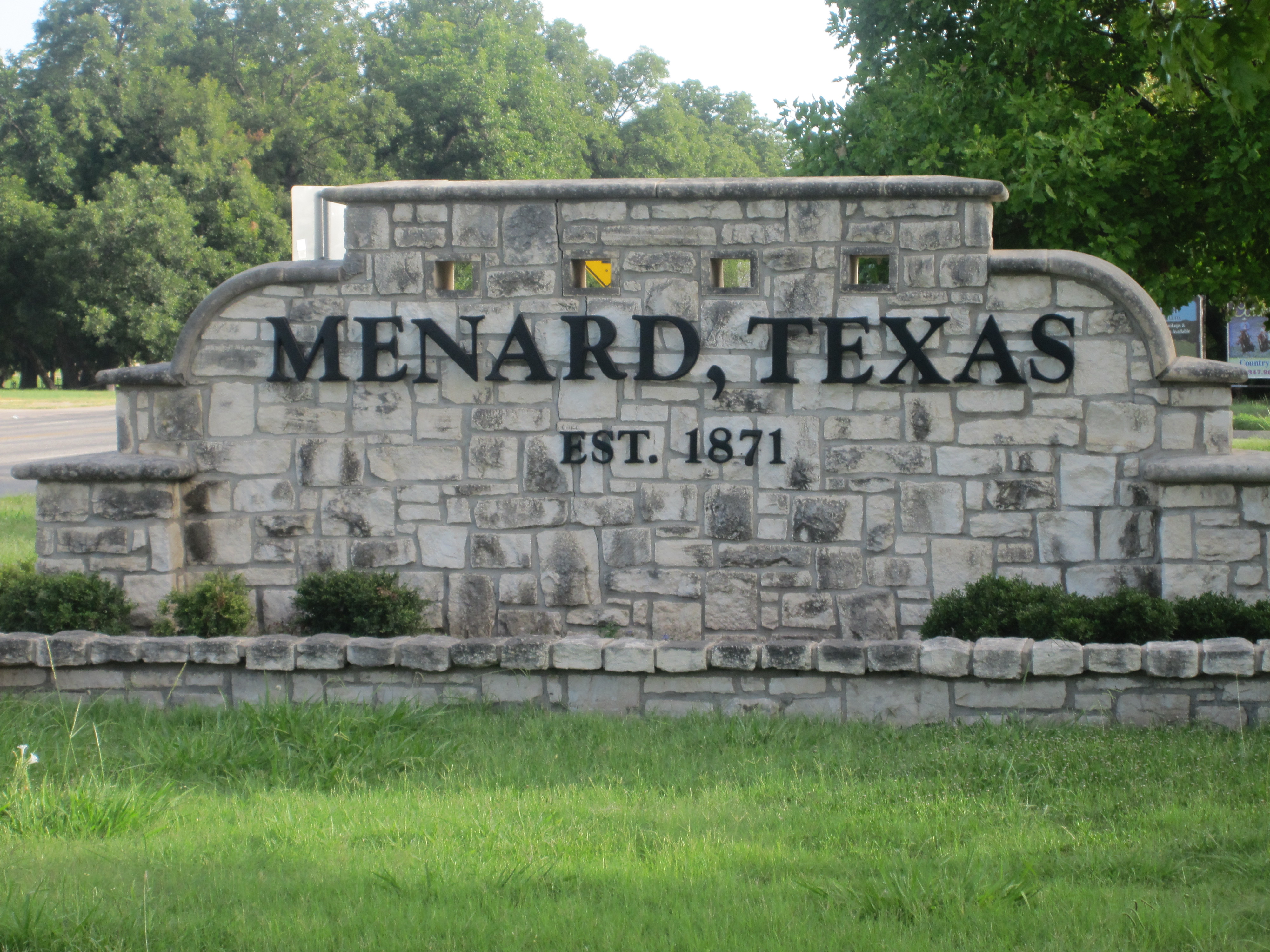
Menard, Texas — City — Menard welcome sign Location of Menard, Texas

Coordinates: 30°55′10″N 99°47′4″W / 30.91944°N 99.78444°WCoordinates: 30°55′10″N 99°47′4″W / 30.91944°N 99.78444°W Country United States State Texas County Menard Area – Total 2.1 sq mi (5.3 km2) – Land 2.1 sq mi (5.3 km2) – Water 0.0 sq mi (0.0 km2) Elevation 1,883 ft (574 m) Population (2000) – Total 1,653 – Density 803.5/sq mi (310.2/km2) Time zone Central (CST) (UTC-6) – Summer (DST) CDT (UTC-5) ZIP code 76859 Area code(s) 325 FIPS code 48-47628[1] GNIS feature ID 1362610[2] Menard is a city in and the county seat of Menard County, Texas, United States.[3] The population was 1,653 at the 2000 census.
 "The Historic Ditch Walk" began in 1876, when the Vaughn Agricultural and Mechanical Canal Company sought to provide irrigation by gravity flow from the nearby San Saba River to two thousand acres of land and to provide power for gristmills.
 Pioneer Rest Cemetery in Menard has graves from the 19th century.
 Downtown Menard on a nearly deserted summer Saturday evening; the courthouse is on the right behind the trees.
 Menard County Courthouse in Menard, Texas
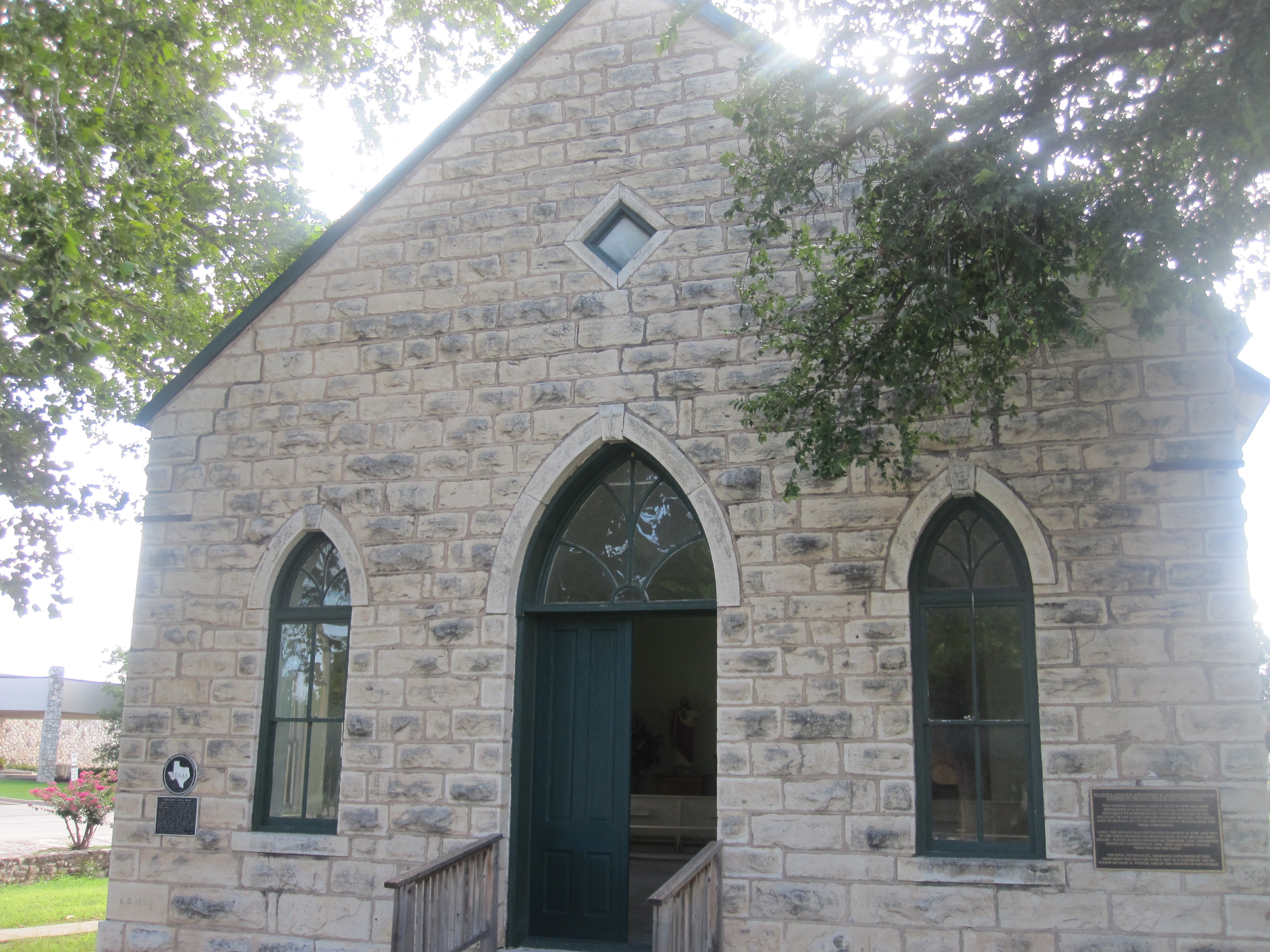
 Sacred Heart Catholic Church (1899 building) in Menard. On the right outside wall of the church is a plaque recalling the massacre and destruction in 1758 of the Mission Santa Cruz de San Sabá three miles to the east of Menard.
 First United Methodist Church in Menard
Contents
Geography
Menard is located at 30°55′10″N 99°47′4″W / 30.91944°N 99.78444°W (30.919519, -99.784446)[4]. It is situated along the banks of the San Saba River at the junction of U.S. Highways 83 and 290, approximately 140 miles northwest of Austin and San Antonio in central Menard County.[5]
According to the United States Census Bureau, the city has a total area of 2.1 square miles (5.4 km2), all of it land.
History
The community was first known as Menardville when the site was laid out in 1858, after the formation of Menard County.[6] Nearby Fort McKavett was deactivated in 1859, leaving the settlers with little protection from frequent Indian raids. The fort reopened after the Civil War. By 1867, Menardville had a store, blacksmith shop, and a saloon. The community served as a trading post and overnight stop on north and west cattle trails. The old compound of a Spanish mission that had been abandoned in the mid-18th century was used as a holding area for cattle on the way to market.[6] A county government was organized in 1871 and a two-story courthouse was built one year later. Menardville had approximately 150 residents by the mid-1880s. The San Saba River flooded in 1899, causing considerable damage to the community.
In 1910 or 1911, while the Fort Worth and Rio Grande Company were making plans to lay a track through the community, company officials asked residents to rename their town Menard in order to facilitate the painting of signs.[5] An economic boon followed the arrival of the first train in 1911. The 1920 census recorded 1,164 people living in Menard. For many years, he town served as the principal shipping point for Menard County. Although the community was impacted by the Great Depression, both of its banks – the Menard National Bank and Bevans State Bank – remained open. Menard's population stood at 1,969 in 1930, 2,375 in 1940, and 2,685 in 1950. That figure began to decline during the 1950s and 1960s as road improvements made travel and shipping less dependent on rail service. The Atchison, Topeka and Santa Fe Railroad discontinued its service to Menard in 1972, but donated the depot to the county for use as a history museum. The Menard County Historical Society began collecting artifacts in 1975 and dedicated the museum in 1978. By 1980, there were 1,697 people living in Menard. In 1990, the population fell slightly to 1,606 before rebounding to 1,653 in 2000.[6]
Demographics
As of the census[1] of 2000, there were 1,653 people, 666 households, and 438 families residing in the city. The population density was 803.5 people per square mile (309.8/km²). There were 851 housing units at an average density of 413.6 per square mile (159.5/km²). The racial makeup of the city was 84.94% White, 0.67% African American, 0.60% Native American, 0.36% Asian, 0.06% Pacific Islander, 11.98% from other races, and 1.39% from two or more races. Hispanic or Latino of any race were 39.32% of the population.
There were 666 households out of which 31.8% had children under the age of 18 living with them, 50.2% were married couples living together, 10.8% had a female householder with no husband present, and 34.1% were non-families. 31.4% of all households were made up of individuals and 20.0% had someone living alone who was 65 years of age or older. The average household size was 2.42 and the average family size was 3.03.
In the city the population was spread out with 27.2% under the age of 18, 6.0% from 18 to 24, 23.7% from 25 to 44, 22.6% from 45 to 64, and 20.6% who were 65 years of age or older. The median age was 40 years. For every 100 females there were 97.3 males. For every 100 females age 18 and over, there were 87.5 males.
The median income for a household in the city was $19,698, and the median income for a family was $27,125. Males had a median income of $21,094 versus $17,857 for females. The per capita income for the city was $12,768. About 26.5% of families and 33.1% of the population were below the poverty line, including 45.4% of those under age 18 and 28.2% of those age 65 or over.
Education
Public education in the city of Menard is provided by the Menard Independent School District.
Attractions
Annual events in Menard include Jim Bowie Days, held in late June, the Jim Bowie Trail Ride in September, and the Silver Mine Classic Lamb Show in October.[6]
References
- ^ a b "American FactFinder". United States Census Bureau. http://factfinder.census.gov. Retrieved 2008-01-31.
- ^ "US Board on Geographic Names". United States Geological Survey. 2007-10-25. http://geonames.usgs.gov. Retrieved 2008-01-31.
- ^ "Find a County". National Association of Counties. http://www.naco.org/Counties/Pages/FindACounty.aspx. Retrieved 2011-06-07.
- ^ "US Gazetteer files: 2010, 2000, and 1990". United States Census Bureau. 2011-02-12. http://www.census.gov/geo/www/gazetteer/gazette.html. Retrieved 2011-04-23.
- ^ a b "Menard, Texas". Texas Escapes Online Magazine. http://www.texasescapes.com/TexasHillCountryTowns/MenardTexas/MenardTx.htm. Retrieved 2009-06-17.
- ^ a b c d "Menard, Texas". The Handbook of Texas online. http://www.tshaonline.org/handbook/online/articles/MM/hjm12.html. Retrieved 2009-06-17.
External links
Municipalities and communities of Menard County, Texas County seat: MenardCity Menard
Unincorporated
communitiesFort McKavett | Hext
County seats of Texas A B Baird · Ballinger · Bandera · Bastrop · Bay City · Beaumont · Beeville · Bellville · Belton · Benjamin · Big Lake · Big Spring · Boerne · Bonham · Boston · Brackettville · Brady · Breckenridge · Brenham · Brownfield · Brownsville · Brownwood · Bryan · BurnetC Caldwell · Cameron · Canadian · Canton · Canyon · Carrizo Springs · Carthage · Center · Centerville · Channing · Childress · Clarendon · Clarksville · Claude · Cleburne · Coldspring · Coleman · Colorado City · Columbus · Comanche · Conroe · Cooper · Corpus Christi · Corsicana · Cotulla · Crane · Crockett · Crosbyton · Crowell · Crystal City · CueroD E F Fairfield · Falfurrias · Farwell · Floresville · Floydada · Fort Davis · Fort Stockton · Fort Worth · Franklin · FredericksburgG Gail · Gainesville · Galveston · Garden City · Gatesville · George West · Georgetown · Giddings · Gilmer · Glen Rose · Goldthwaite · Goliad · Gonzales · Graham · Granbury · Greenville · Groesbeck · Groveton · GuthrieH Hallettsville · Hamilton · Haskell · Hebbronville · Hemphill · Hempstead · Henderson · Henrietta · Hereford · Hillsboro · Hondo · Houston · HuntsvilleJ K L M N O P Paducah · Paint Rock · Palestine · Palo Pinto · Panhandle · Paris · Pearsall · Pecos · Perryton · Pittsburg · Plains · Plainview · Port Lavaca · PostQ R Rankin · Raymondville · Refugio · Richmond · Rio Grande City · Robert Lee · Roby · Rockport · Rocksprings · Rockwall · RuskS San Angelo · San Antonio · San Augustine · San Diego · San Marcos · San Saba · Sanderson · Sarita · Seguin · Seminole · Seymour · Sherman · Sierra Blanca · Silverton · Sinton · Snyder · Sonora · Spearman · Stanton · Stephenville · Sterling City · Stinnett · Stratford · Sulphur Springs · SweetwaterT, U V, W, Z Van Horn · Vega · Vernon · Victoria · Waco · Waxahachie · Weatherford · Wellington · Wharton · Wheeler · Wichita Falls · Woodville · ZapataCategories:- Cities in Texas
- Populated places in Menard County, Texas
- County seats in Texas


Wikimedia Foundation. 2010.