- Wabasha County, Minnesota
-
Wabasha County, Minnesota 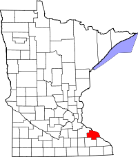
Location in the state of Minnesota
Minnesota's location in the U.S.Founded October 27, 1849 [1] Named for Three successive chiefs of Mississippi bands of Dakota Indians. Seat Wabasha Largest city Lake City Area
- Total
- Land
- Water
549.83 sq mi (1,424 km²)
525.01 sq mi (1,360 km²)
24.82 sq mi (64 km²), 4.51%Population
- (2010)
- Density
21,676
41/sq mi (16/km²)Time zone Central: UTC-6/-5 Website www.co.wabasha.mn.us Wabasha County is a county located in the U.S. state of Minnesota, founded in 1849[1] As of 2010, the population was 21,676.[2] Its county seat is Wabasha[3].
Wabasha County is part of the Rochester, MN Metropolitan Statistical Area.
Contents
Geography
According to the 2000 census, the county has a total area of 549.83 square miles (1,424.1 km2), of which 525.01 square miles (1,359.8 km2) (or 95.49%) is land and 24.82 square miles (64.3 km2) (or 4.51%) is water.[4]
Major highways
 U.S. Highway 61
 U.S. Highway 63
 Minnesota State Highway 42
Lakes
- These lakes are located within the Upper Mississippi River National Wildlife and Fish Refuge
- Cross Lake
- Half Moon Lake
- Maloney Lake
- McCarthy Lake
- Peterson Lake
- Robinson Lake
Adjacent counties
- Pepin County, Wisconsin (northeast)
- Buffalo County, Wisconsin (east)
- Winona County (southeast)
- Olmsted County (south)
- Goodhue County (west, northwest)
Demographics
Historical populations Census Pop. %± 1850 243 — 1860 7,228 2,874.5% 1870 15,850 119.3% 1880 18,206 14.9% 1890 16,972 −6.8% 1900 18,924 11.5% 1910 18,554 −2.0% 1920 17,919 −3.4% 1930 19,613 9.5% 1940 17,653 −10.0% 1950 16,878 −4.4% 1960 17,007 0.8% 1970 17,224 1.3% 1980 19,335 12.3% 1990 19,744 2.1% 2000 21,610 9.5% 2010 21,676 0.3% U.S. Decennial Census 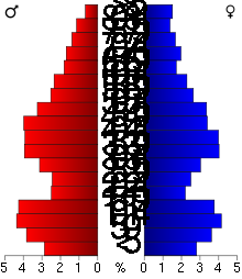 Age pyramid of county residents based on 2000 U.S. census data.
As of the census[5] of 2000, there were 21,610 people, 8,277 households, and 5,876 families residing in the county. The population density was 41 people per square mile (16/km²). There were 9,066 housing units at an average density of 17 per square mile (7/km²). The racial makeup of the county was 97.97% White, 0.25% Black or African American, 0.27% Native American, 0.43% Asian, 0.62% from other races, and 0.45% from two or more races. 1.68% of the population were Hispanic or Latino of any race. 53.3% were of German, 11.1% Norwegian, 7.3% Irish and 5.0% American ancestry according to Census 2000.
There were 8,277 households out of which 33.80% had children under the age of 18 living with them, 60.80% were married couples living together, 6.50% had a female householder with no husband present, and 29.00% were non-families. 24.30% of all households were made up of individuals and 10.80% had someone living alone who was 65 years of age or older. The average household size was 2.57 and the average family size was 3.07.
In the county the population was spread out with 27.10% under the age of 18, 7.20% from 18 to 24, 27.00% from 25 to 44, 23.80% from 45 to 64, and 15.00% who were 65 years of age or older. The median age was 38 years. For every 100 females there were 100.00 males. For every 100 females age 18 and over, there were 97.90 males.
The median income for a household in the county was $42,117, and the median income for a family was $50,480. Males had a median income of $33,053 versus $24,316 for females. The per capita income for the county was $19,664. About 4.10% of families and 6.00% of the population were below the poverty line, including 6.00% of those under age 18 and 9.30% of those age 65 or over.
Cities and towns
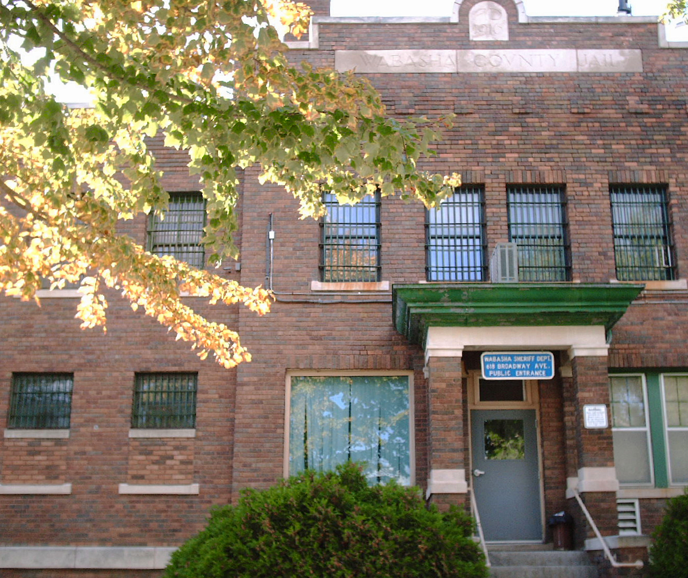
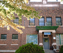 Wabasha County Jail, built 1916.
Cities Townships Unincorporated - Camp Lacupolis
- Maple Springs
- Reads Landing
- South Troy
- Weaver
† These cities lie partly within Goodhue County.
‡ A part of Minneiska extends into Winona County.See also
- National Register of Historic Places listings in Wabasha County, Minnesota
- Upper Mississippi River National Wildlife and Fish Refuge
References
- ^ "Minnesota Government Series, State Counties". Minnesota House of Representatives. http://www.house.leg.state.mn.us/hinfo/govseries/No34.htm. Retrieved 2008-03-18..
- ^ "2010 Census Redistricting Data (Public Law 94-171) Summary File". American FactFinder. United States Census Bureau. http://factfinder2.census.gov/faces/tableservices/jsf/pages/productview.xhtml?pid=DEC_10_PL_GCTPL2.ST05&prodType=table. Retrieved 25 April 2011.
- ^ "Find a County". National Association of Counties. http://www.naco.org/Counties/Pages/FindACounty.aspx. Retrieved 2011-06-07.
- ^ "Census 2000 U.S. Gazetteer Files: Counties". United States Census. http://www.census.gov/tiger/tms/gazetteer/county2k.txt. Retrieved 2011-02-13.
- ^ "American FactFinder". United States Census Bureau. http://factfinder.census.gov. Retrieved 2008-01-31.
External links
- Wabasha-Kellogg (Minnesota) Convention and Visitors Bureau
- Wabasha County government's website
- Wabasha County Health and Demographic Data

Goodhue County Pepin County, Wisconsin Goodhue County 
Buffalo County, Wisconsin  Wabasha County, Minnesota

Olmsted County Winona County Municipalities and communities of Wabasha County, Minnesota Cities 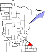
Townships Unincorporated
communitiesCamp Lacupolis | Maple Springs | Reads Landing | South Troy | Weaver
Footnotes ‡This populated place also has portions in an adjacent county or counties
Categories:- Minnesota counties
- Wabasha County, Minnesota
- Rochester, Minnesota metropolitan area
- Minnesota counties on the Mississippi River


Wikimedia Foundation. 2010.