- Doğankent
-
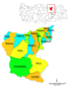
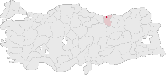
Doğankent — Town — Location of Doğankent within Turkey.
Coordinates: 40°48′N 38°55′E / 40.8°N 38.917°ECoordinates: 40°48′N 38°55′E / 40.8°N 38.917°E Country  Turkey
Region Black Sea Province Giresun Government – Mayor Nazmiye Kabadayı (AKP) Elevation 541 m (1,775 ft) Time zone EET (UTC+2) – Summer (DST) EEST (UTC+3) Postal code 28510 Area code(s) 0454 Licence plate 28 Website http://www.dogankent.bel.tr/ Doğankent is a town and a district of Giresun Province in the Black Sea region of Turkey.
Contents
Geography
Doğankent is a hilly district in the valley of the Harşit. The climate is typical of the Black Sea region; lots of rain, summer and winter.
Doğankent is a small town of 3,383 people, providing high schools and other basic amenities to the surrounding villages.
Etymology
Previously known as Kürtün-ü Zir, Manastır Bükü and Harşit.
History
There was a monastery here in the Byzantine period, hence the earlier name. The area was settled by Seljuk Turks following their victory over the Byzantines at the Battle of Malazgirt and was then absorbed into the Ottoman Empire in 1461 by Sultan Mehmet II during his conquest of the rump-Byzantine Empire of Trebizond. The areas importance as a centre of education persisted as the monasteries were converted into Islamic medrese.
External links
(follow resim, resimler or foto galeri in the Turkish websites for pictures)
- the municipality
- (Turkish) the district governorate
- (Turkish) local information
 Doğankent in Giresun Province (in the Black Sea region) of Turkey
Urban districts 
Rural districts RegionsAegean Black Sea Central Anatolia Eastern Anatolia Marmara Mediterranean Southeastern Anatolia Categories:- Districts of Giresun
- Black Sea Region
- Populated places in Giresun Province
- Black Sea Region geography stubs

Wikimedia Foundation. 2010.