- List of county routes in Rockland County, New York (41–75)
-
The following is a list of county routes in Rockland County, New York from 41 to 75. Most of the routes act as primary roads in the less developed areas and also serve to interconnect the various villages and hamlets of the county. All routes are maintained by the Rockland County highway department. Across the county, routes are numbered such that odd-numbered routes are north–south and increase in number from east to west, while even-numbered routes are east–west and increase from south to north.
There are 22 routes in this segment, the lowest being Route 41 and the highest being Route 75. The farthest north route is Route 53 in Tomkins Cove, while the farthest south is Route 41 in Chestnut Ridge. The farthest west is Route 72 in Sloatsburg and the farthest east is Route 44 in West Nyack. The longest route is Route 74, stretching for 5.3 miles (8.5 km) while the shortest route is Route 49 at .4 of a mile.
Rockland (NY) County Routes (41–75) CR 41 • CR 42 • CR 43 • CR 44 • CR 46 • CR 47 • CR 49 • CR 51 • CR 52 • CR 53 • CR 60 • CR 62 • CR 64 • CR 65 • CR 67 • CR 68 • CR 69 • CR 71 • CR 72 • CR 73 • CR 74 • CR 75 Other lists: CRs 1–38 • CRs 76–118A Route 41

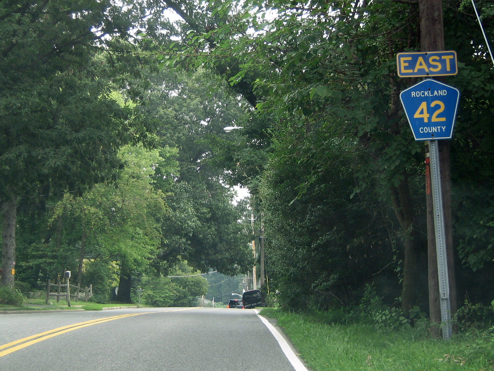
 CR 41 begins here at NY 45, and heads south toward the Garden State Parkway and NJ border.
County Route 41 is a 1.5 miles (2.4 km) south–north county route in the southern part of Rockland County, New York.
Route 41 begins at the New Jersey border in Chestnut Ridge and Upper Montvale, New Jersey, and ends at NY 45.[1] CR 41 is the only Rockland County Route to directly intersect the Garden State Parkway. However it is only a limited exchange. Drivers from CR 41 can only go northbound on the GSP to link up with the New York State Thruway (I-87/I-287). Only southbound drivers from the GSP can exit on to CR 41. Drivers who want to go southbound on the GSP must proceed to Montvale to get on the parkway. CR 41 passes a few horse farms just north of the New York/New Jersey border. After CR 41's interchange with the Garden State Parkway, it runs through some business area in Chestnut Ridge.
County Location Mile Destinations Notes Rockland Chestnut Ridge 0.5  G.S. Pkwy.
SB GSP to CR 41 only; CR 41 to NB GSP only 1.5  NY 45
NY 45Near NJ border 1.000 mi = 1.609 km; 1.000 km = 0.621 mi Route 42

 CR 42 at its western terminus here at CR 33. CR 42 connects with the Palisades Interstate Parkway about a mile and a half from here.
County Route 42 is a 2.0 miles (3.2 km) west–east county route in the southern part of Rockland County, New York.
Route 42 begins at CR 33 in Nanuet, and ends at CR 23 in West Nyack. CR 42 runs through Nanuet and West Nyack.[2] CR 42 has an intersection with the Palisades Interstate Parkway (exit 7). Every summer there is a Greek Festival just off of Exit 7 of the Palisades, near CR 42. CR 42 is the link to Lake Nanuet and Manhattan Woods Golf Course, which is a private course designed by PGA great, Gary Player. CR 42 is best known for running along the Clarkstown/Orangetown border for most of its route, hence the name Townline Road.
County Location Mile Destinations Notes Rockland Nanuet 0.0  CR 33 (Middletown Road)
West Nyack 1.6  Palisades Parkway
Exit 7 (Palisades Parkway) 2.0  CR 23 (Sickletown Road)
1.000 mi = 1.609 km; 1.000 km = 0.621 mi Route 43

County Route 43, now Old Schoolhouse Road, was a 0.5 miles (0.80 km) south–north route in the central part of Rockland County, New York
Former route 43 began and ended at NY 45.[3] CR 43 ran exclusively through New Hempstead. CR 43 gave drivers from CR 80 to reach NY 45 northbound or vice versa without having to travel to the congested CR 80/NY 45 interchange. The southern half of CR 43 was a one-way road only traveling about one-tenth of a mile. After a tricky intersection with CR 80, CR 43 was a two-way, two-laned road through residential areas of New Hempstead. CR 43 ran very close to the Palisades Interstate Parkway during its run, and was located very close to Exits 11 & 12.
County Location Mile Destinations Notes Rockland New Hempstead 0.0 NY 45CR 43 one-way to CR 80 0.1  CR 80 (New Hempstead Road)
0.5 NY 451.000 mi = 1.609 km; 1.000 km = 0.621 mi Route 44

 CR 44's eastern terminus at CR 15. NY 59 is less than a half of mile to the north.
County Route 44 is a 0.6 miles (0.97 km) west–east county route in the eastern part of Rockland County, New York.
Route 44 begins at CR 23, and ends at CR 15.[4] CR 44 runs exclusively through West Nyack. CR 44 gives drivers the opportunity to bypass tricky exits on NY 59 when going from Sickletown Road to Western Highway. South of CR 44 is mostly undeveloped, while NY 59 and Palisades Center hover to the north.
County Location Mile Destinations Notes Rockland West Nyack 0.0 CR 23 (Sickletown Road)0.6  CR 15 (Western Highway)
1.000 mi = 1.609 km; 1.000 km = 0.621 mi Route 46

 CR 46's eastern terminus at CR 33 in downtown Nanuet. CR 46 used to end at CR 33A two-tenths of a mile west of here.
County Route 46 is a 1.3 miles (2.1 km) west–east county route in the central part of Rockland County, New York.
Route 46 begins at CR 35, and ends at CR 33 in downtown Nanuet.[5] CR 46 runs exclusively through the southern parts of Nanuet. CR 46 begins near the Spring Valley line, and heads east proceeding into downtown Nanuet ending near the Nanuet Mall. CR 46 used to end at CR 33A, but overtook the route for the northern 0.2 miles (0.32 km) of Old Middletown Road. The southern 0.1-mile (0.16 km) of CR 33A still remains. CR 46 passes Saint Agatha Home along its route. The home houses juveniles who run away from home or need a place to stay due to other problems. Other than the group of homes at Saint Agatha's, south of CR 46 is mostly undeveloped.
County Location Mile Destinations Notes Rockland Nanuet 0.0  CR 35 (Pascack Road)
1.1  CR 33A (Old Middletown Road)
1.3 CR 33 (Middletown Road)1.000 mi = 1.609 km; 1.000 km = 0.621 mi Route 47

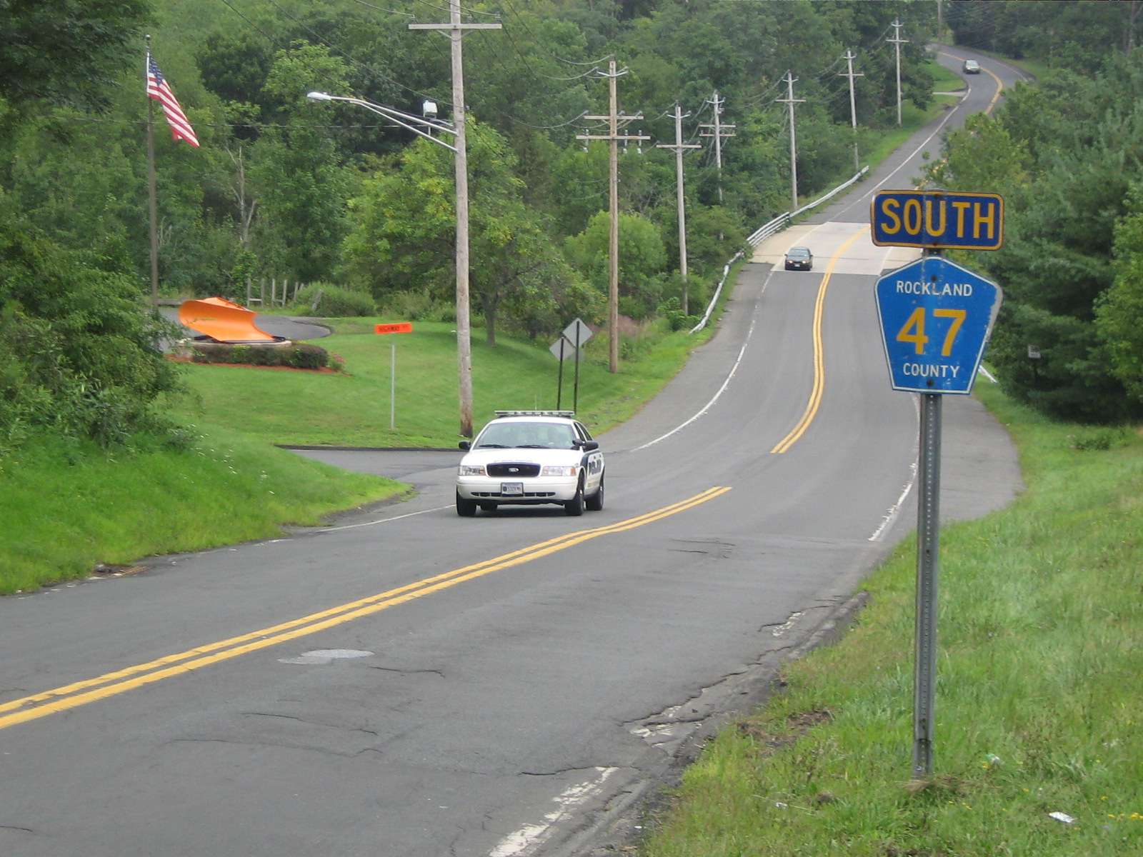
 This is the final link of CR 47 southbound. CR 47's intersection with U.S. 202 is about a mile ahead.
County Route 47 is a 4.2 miles (6.8 km) south–north county route in the northern part of Rockland County, New York.
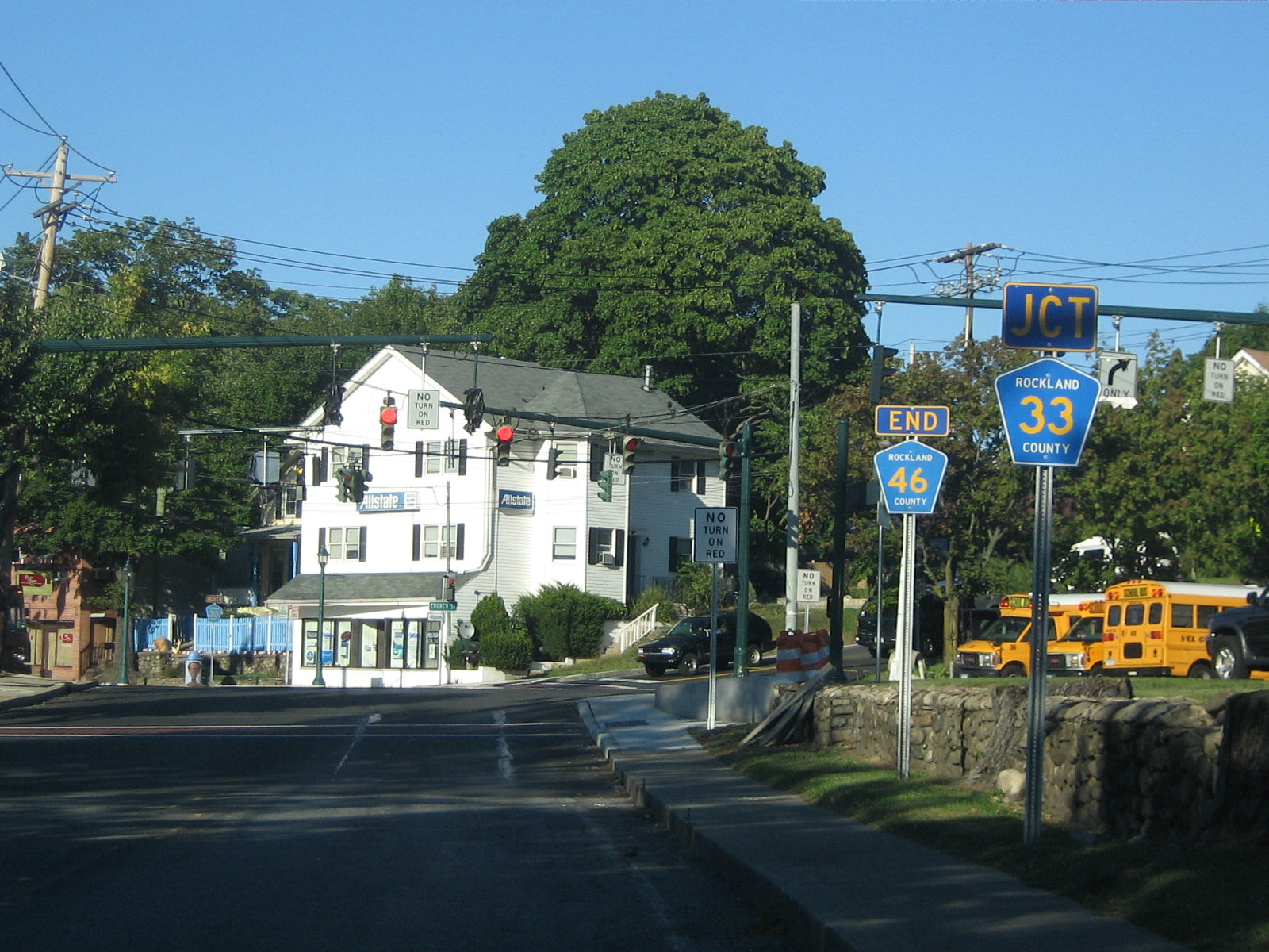
Route 47 begins at US 202 in Mount Ivy, and ends at CR 108 in Stony Point.[6] CR 47 runs through the villages of Mount Ivy, Thiells, and Stony Point. CR 47 has a limited junction with the Palisades Interstate Parkway (at exit 13), as only PIP northbound passengers can directly access CR 47. In fact, CR 47 parallels the PIP for most of its route, and comes close to Exits 14 & 15. In Mount Ivy, CR 47's southern terminus also comes close to NY 45's northern terminus. CR 47, while mostly in residential, does pass Phillip J Rotella Golf Course and North Rockland High School along its route. Just before CR 47's northern terminus, the route intersects Old NY 210 (now CR 106) in Stony Point. CR 47 and CR 23 are the only two Rockland County routes that have two concurrencies with other county routes for a certain amount of time.
 CR 47's northern terminus at CR 108 in Stony Point.
County Location Mile Destinations Notes Rockland Mount Ivy 0.0  US 202
Near NY 45 Northern Terminus 0.1 Palisades ParkwayExit 13 (Palisades Parkway); PIP NB to CR 47 only Thiells 2.1  CR 94 (Letchworth Village Road / Suffern Lane)
CR 47 overlaps CR 94 for 0.1 miles (0.2 km) 2.9  CR 98 (Willow Grove Road / Filors Lane)
CR 47 overlaps CR 98 for 0.2 miles (0.3 km) Stony Point 3.5  CR 100 (Washburn Lane)
3.9  CR 106 (Central Drive)
Formerly part of NY 210 4.2  CR 108 (West Main Street)
1.000 mi = 1.609 km; 1.000 km = 0.621 mi Route 49

 CR 49's northern terminus at the dead end ahead. To the left is Rockland County's Fire Training Center.
County Route 49 is a 0.4 miles (0.64 km) south–north county route in the central part of Rockland County, New York. CR 49 is the shortest, non-child, south–north county route in Rockland County.
Route 49 begins at CR 86, and ends about a half-mile north at a dead end.[7] CR 49 runs exclusively in Pomona. CR 49 is one of the newest county routes in Rockland County. CR 49 is home to the Rockland County Fire Training Center, which is seconds away from NY 45. CR 49's northern terminus is at a dead end, but if the driver turns left, there is a fairly large animal shelter. Straight beyond CR 49's northern terminus is a hazardous waste collection area, with a private road continuing north for another third of a mile.
County Location Mile Destinations Notes Rockland Pomona 0.0  CR 86 (Pomona Road)
1.000 mi = 1.609 km; 1.000 km = 0.621 mi Route 51

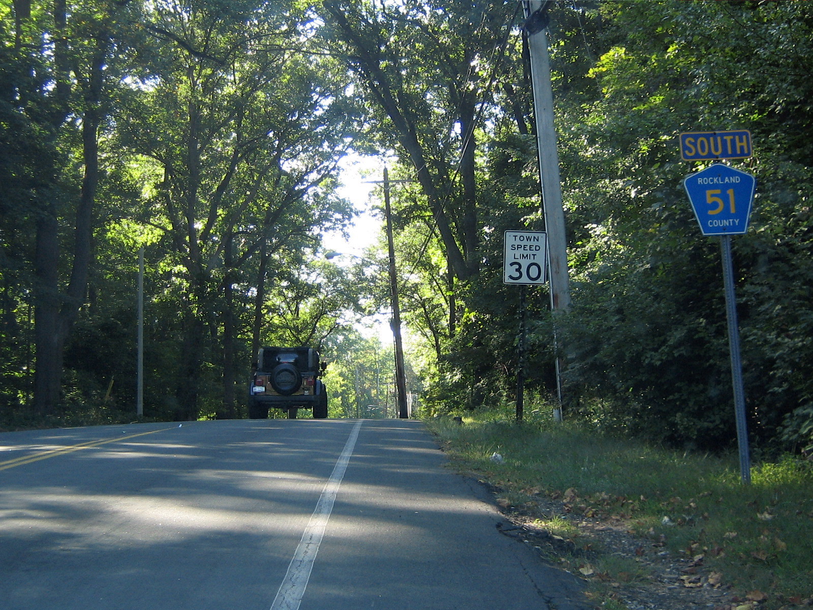
 CR 51 begins here at NY 45, and proceeds south via Sanatorium Rd past Yeager Health Center.
County Route 51 is a 1.2 miles (1.9 km) south–north county route in the central part of Rockland County, New York.
Route 51 begins at CR 80, and ends at NY 45.[8] CR 51 runs exclusively in New Hempstead. CR 51 has somewhat similar route to CR 67, as both provide key south–north routes in New Hempstead. Unlike CR 67, CR 51 turns east and ends at NY 45. Summit Park Road continues south of CR 80 as Hempstead Road. It provides a link to CR 74 in Spring Valley. The Dr Robert L Yeager Health Center and other county government buildings are located on the Sanatorium Road portion of CR 51.
County Location Mile Destinations Notes Rockland New Hempstead 0.0 CR 80 (New Hempstead Road)1.2 NY 451.000 mi = 1.609 km; 1.000 km = 0.621 mi Route 52

 CR 52 begins here at CR 73, and heads west into Spring Valley and an intersection with NY 45.
County Route 52 is a 1.6 miles (2.6 km) west–east county route in the southern part of Rockland County, New York.
Route 52 begins at CR 73 in Monsey, and ends at South Central Avenue in Spring Valley.[9] CR 52 runs through the southern parts of Monsey and Spring Valley. CR 52 ends shortly after it crosses NY 45 because Old Nyack Turnpike switches direction heading north into downtown Spring Valley. CR 37 used to take over for CR 52, as Old Nyack Turnpike turns north as South Central Avenue, and continued to its northern terminus at NY 59. The piece of Old Nyack Turnpike in Nanuet used to be designated as CR 52. So at one time, there were two disjointed pieces of CR 52 in Rockland County.
CR 52 was originally designated as CR 62[10]
County Location Mile Destinations Notes Rockland Monsey 0.0  CR 73 (East Saddle River Road)
Spring Valley 0.5  CR 71 (Hungry Hollow Road)
1.3 NY 45Chestnut Ridge/Spring Valley line 1.000 mi = 1.609 km; 1.000 km = 0.621 mi Route 53

 CR 53 begins here at U.S. 9W/202 in Stony Point, and heads north toward CR 118 and Bear Mountain State Park.
County Route 53 is a 1.5 miles (2.4 km) south–north county route in the northern part of Rockland County, New York.
Route 53 runs through Stony Point and Tomkins Cove. CR 53 begins at US 9W/US 202 in Stony Point, and ends at CR 118 in Tomkins Cove.[11] CR 53 is relatively close to the historic Battle of Stony Point battlefield of the Revolutionary War, which lies along the Hudson River. CR 53's northern terminus comes close to Bear Mountain State Park. CR 53 is the northern most south–north Rockland County Route. CR 53 is one of the more quiet Rockland County routes as it simply serves a few blocks of residential areas along its route.
County Location Mile Destinations Notes Rockland Stony Point 0.0  US 9W (East Saddle River Road) / US 202
Tomkins Cove 1.5  CR 118 (Mott Farm Road)
1.000 mi = 1.609 km; 1.000 km = 0.621 mi Route 60

 CR 60's eastern terminus at CR 33. CR 60 provides a shortcut for drivers looking to get to Spring Valley without having to travel on NY 59.
County Route 60 is a 1.1 miles (1.8 km) west–east county route in the central part of Rockland County, New York.
Route 60 begins at CR 35, and ends at CR 33.[12] CR 60 runs exclusively through Nanuet. CR 60 shares a terminus with CR 35 at its western terminus. CR 60 quickly intersects CR 35A during its route. After that intersection, CR 60 passes Airport Executive Park, which used to be an old, historic airport field in Rockland County. CR 60 then passes an entrance to the Hamlets, which is a very large condominium complex. CR 60 ends at CR 33 just about a half-mile south of CR 33's intersection with the Palisades Parkway.
County Location Mile Destinations Notes Rockland Nanuet 0.0 CR 35 (Pascack Road)0.1  CR 35A (New Clarkstown Road)
1.1 CR 33 (Middletown Road)1.000 mi = 1.609 km; 1.000 km = 0.621 mi Route 62

County Route 62 is now designated CR 52.
See also: County Route 52Route 64

 CR 64 begins here at Maple Ave in Monsey. It provides an alternative route to Suffern/Montebello for NY 59.
County Route 64 is a 2.8 miles (4.5 km) west–east county route in the western part of Rockland County, New York. Route 64 begins at CR 93 in Montebello, and ends at West Maple Avenue in Monsey.[13] CR 64 runs through the villages of Montebello, Airmont, and Monsey. CR 64 is an alternate route for CR 74 and NY 59, as it runs parallel with each for its entire run. CR 64's western terminus is also CR 93's northern terminus. CR 64 comes close to the New York State Thruway (I-87/I-287) at Exit 14B, and can be reached via CR 89 within a quarter-mile of CR 64's intersection with CR 89. CR 64's eastern terminus ends at Maple Avenue just shy of NY 306. Beyond CR 64's western terminus, Montebello Road continues to Lake Road and Memorial Drive, which are links to US 202.
County Location Mile Destinations Notes Rockland Montebello 0.0  CR 93 (Hemion Road)
Airmont 1.0  CR 89 (Airmont Road)
1.7  CR 85 (Spook Rock Road)
2.3  CR 81 (College Road)
1.000 mi = 1.609 km; 1.000 km = 0.621 mi Route 65

 CR 65's northern terminus at CR 118 in Bulsontown. This location is the former tri-termini of CR 65, CR 69, and CR 118.
County Route 65 is a 1.6 miles (2.6 km) south–north county route in the northern part of Rockland County, New York.
Route 65 begins at CR 112 in Stony Point, and ends at CR 118 in Bulsontown.[14] CR 65 runs through Stony Point and Bulsontown. CR 65's southern terminus is close to Old NY 210 (CR 106). But more notably is that CR 65's southern terminus is almost immediately after CR 112's eastern terminus, and within a quarter-mile of CR 108's eastern terminus. The spot seems to be a popular ending spot. CR 65's northern terminus comes close to Bear Mountain State Park. CR 65's northern terminus is also CR 118's western terminus. Actually, the intersection used to be a tri-terminus for CR 65, CR 118, and former CR 69 at Bullova Lake. This is also a popular camping spot on the Bear Mountain State Park border.
County Location Mile Destinations Notes Rockland Stony Point 0.0  CR 112 (Wayne Drive)
Bulsontown 1.6 CR 118 (Mott Farm Road)Tri-terminus of CR 65, CR 118, & old CR 69 1.000 mi = 1.609 km; 1.000 km = 0.621 mi Route 67

 CR 67 begins here at CR 80 in New Hempstead, and it proceeds north through residential areas of New Hempstead
County Route 67 is a 1.3 miles (2.1 km) south–north county route in the central part of Rockland County, New York.
Route 67 begins at CR 86 in Pomona, and ends at CR 80 in New Hempstead.[15] CR 67 runs through New Hempstead, and touches the Pomona border at its northern terminus. CR 67 runs through mainly residential areas. CR 67 runs parallel, directly between NY 306 and NY 45. CR 67 is a very similar route to CR 51. CR 67's southern terminus actually comes into CR 80 at a west–east direction. This is because CR 80 dips south briefly at this point in its route. CR 67 provides a link to a few recreational areas, including Sandy Brook Town Park, Mount Ivy County Park, and Minisceongo Golf Club.
County Location Mile Destinations Notes Rockland New Hempstead 0.0 CR 80 (New Hempstead Road)Pomona 1.3 CR 86 (Pomona Road)Pomona village line 1.000 mi = 1.609 km; 1.000 km = 0.621 mi Route 68

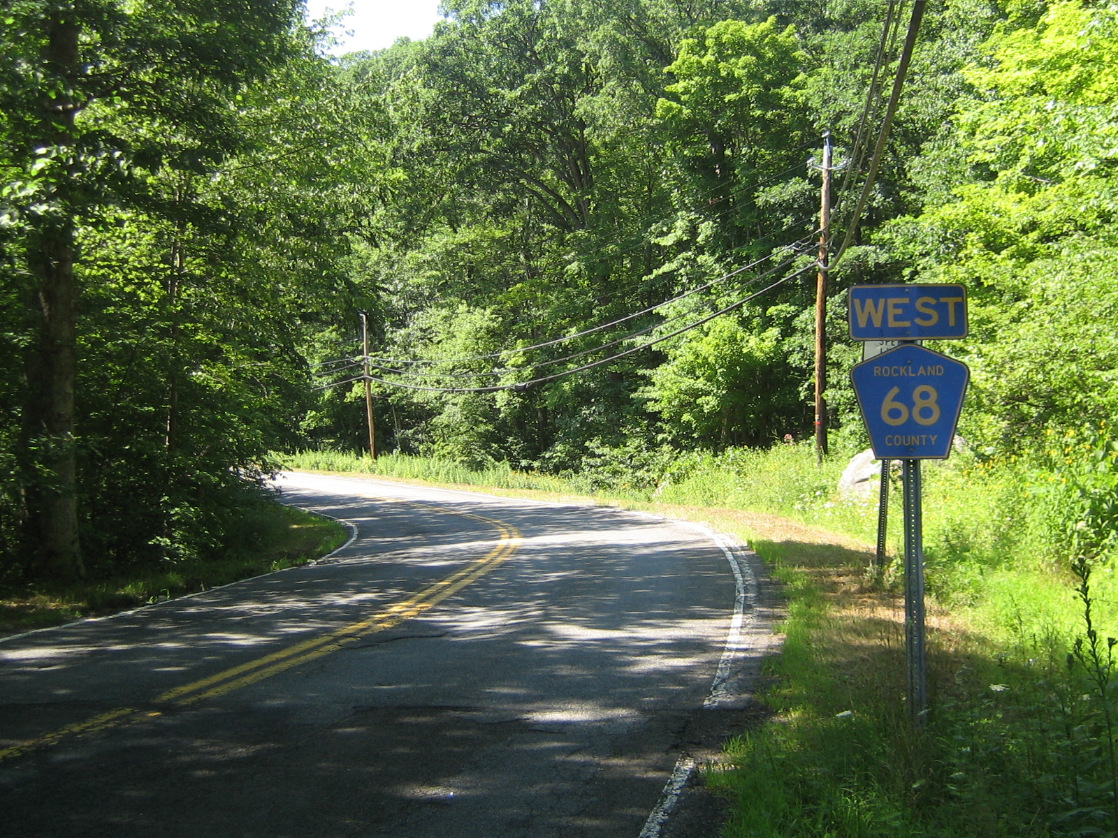
 CR 68 from its "eastern" terminus. The powerlines to the right of the road is the Rockland/Orange County border for some of CR 68's run.
County Route 68 is a 0.4 miles (0.64 km) west–east county route in the western part of Rockland County, New York. CR 68 is the shortest, non-child, county route in Rockland County.
Route 68 begins at CR 72 near the Orange County border, and ends at the Sloatsburg village line along Eagle Valley Road.[16] CR 68 travels exclusively outside the more populated areas of Sloatsburg. CR 68 actually runs in a south–north direction, but is labeled west–east because Eagle Valley Road, after CR 68's eastern terminus, runs mainly in a west–east direction. CR 68 actually crosses the official Orange County line, but is still funded by Rockland County. In fact, some maps place CR 68 in Tuxedo Park, which is the town in Orange County just north of the county line. Beyond CR 68's northern terminus, Eagle Valley Road continues into downtown Sloatsburg, ending at NY 17.
County Location Mile Destinations Notes Rockland Sloatsburg 0.0  CR 72 (Sterling Mine Road)
1.000 mi = 1.609 km; 1.000 km = 0.621 mi Route 69

County Route 69, now just Cedar Falls Road, was a 1.8 miles (2.9 km) south–north route in northern Rockland County, New York.
Former route 69 began at CR 106, in Stony Point, and ended at CR 118 & CR 65, in Bulsontown, near Bear Mountain State Park.[17] CR 69 ran through residential and rural areas in the western portion of the town of Stony Point. Cedar Falls Road has a hidden intersection with the Palisades Interstate Parkway. It is actually just an extension of Exit 15. Drivers can reach the PIP northbound from former CR 69 without having to travel south to CR 106. Drivers from the PIP cannot reach Cedar Falls Road directly.
CR 69 had one suffixed route, CR 69A. It was a 0.1 miles (0.16 km) route that began at CR 69 and ended at a dead end at the entrance of Bear Mountain State Park in Bulsontown.[18]
County Location Mile Destinations Notes Rockland Stony Point 0.0 CR 106 (Gate Hill Road / Central Drive)0.3 Palisades ParkwayExtension of exit 15 (Palisades Parkway); CR 69 to PIP NB only Tomkins Cove 1.8 CR 118 (Mott Farm Road)1.8  CR 65 (Bulsontown Road)
1.000 mi = 1.609 km; 1.000 km = 0.621 mi Route 71

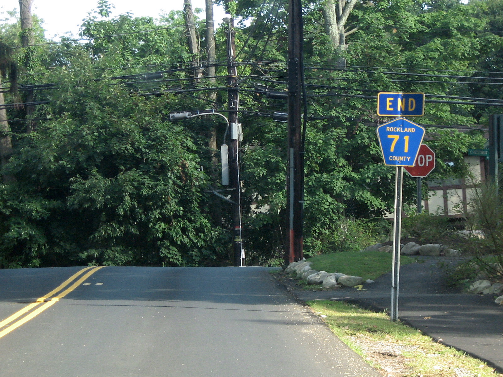
 CR 71's southern terminus at NY 45 near the NJ border and NY 45's end.
County Route 71 is a 1.5 miles (2.4 km) south–north county route in the southern part of Rockland County, New York.
Route 71 begins close to the New Jersey border at NY 45 in Chestnut Ridge, and ends at CR 52 in Spring Valley, just after crossing over the New York State Thruway (I-87/I-287).[19] CR 71 runs through Chestnut Ridge and Spring Valley. CR 71's southern terminus comes close to CR 41's northern terminus, which is just north of CR 71 on NY 45. Just before its northern terminus, CR 71 crosses the New York State Thruway, near the Spring Valley toll, but does not intersect the interstate. CR 71 provides a cut-through route from Monsey to the Garden State Parkway, without having to get on the Thruway or NY 59. CR 71 runs mainly through residential areas.
County Location Mile Destinations Notes Rockland Chestnut Ridge 0.0 NY 45Near NJ border Spring Valley 1.5  CR 52 (Old Nyack Turnpike)
1.000 mi = 1.609 km; 1.000 km = 0.621 mi Route 72

 CR 72's eastern terminus at NY 17 just south of downtown Sloatsburg.
County Route 72 is a 1.6 miles (2.6 km) west–east county route in the western part of Rockland County, New York.
Route 72 begins at the Orange County line in Sloatsburg and Eagle Valley, and ends at NY 17.[20] CR 72 runs exclusively in Sloatsburg. CR 72 is the only Rockland County Route to intersect NY 17. After the western terminus, CR 72 continues as Orange County Route 72 until reaching the New Jersey border. CR 72 is the only road in Rockland County that eventually leads into Passaic County, New Jersey. After crossing the New Jersey border, Sloatsburg Road proceeds south through Ringwood Manor State Park before ending at Passaic CR 511.
CR 72 is one of two county routes that are shared by Rockland and Orange County. The other is County Route 106. The total length combined for Orange CR 72 and Rockland CR 72 is 3.4 miles (5.5 km) (1.8 miles or 2.9 kilometres in Orange). CR 72 is the western most county route in Rockland.
County Location Mile Destinations Notes Rockland Sloatsburg 0.1  CR 68 (Eagle Valley Road)
1.6  NY 17
NY 17Eastern terminus of CR 72 1.000 mi = 1.609 km; 1.000 km = 0.621 mi Route 73

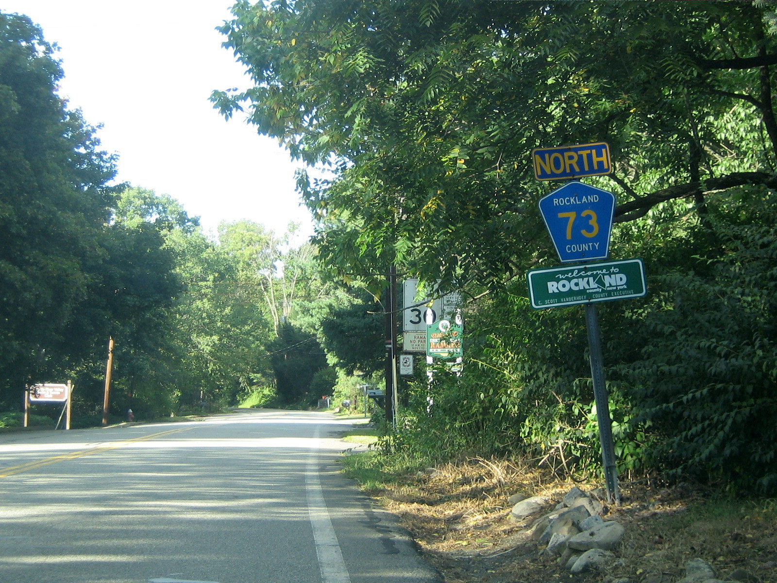
 CR 73 begins here at the NY/NJ border, and heads north toward NY 59 and NY 306.
County Route 73 is a 2.3 miles (3.7 km) south–north route in the southern part of Rockland County.
Route 73 begins at the New Jersey border in Monsey and Upper Saddle River, New Jersey, and ends at NY 59.[21] CR 73 runs through the southern part of Monsey. CR 73 used to be the southern extension of NY 306 before 1980. CR 73 begins at the current end of NY 306 at the NY 59 intersection in Monsey. CR 73 passes Ascension Cemetery and the Saddle River Town Pool just north of the New York/New Jersey border. CR 73 passes under the New York State Thruway (I-87/I-287) just before its northern terminus at NY 59. Monsey Glen County Park is just left of CR 73's end on NY 59.
County Location Mile Destinations Notes Rockland Monsey 0.7 CR 81 (Hemion Road)2.0 CR 52 (Old Nyack Turnpike)2.3  NY 306
NY 306 southern terminus 2.3  NY 59
NY 59Change from CR 73 to NY 306 1.000 mi = 1.609 km; 1.000 km = 0.621 mi Route 74

 CR 74 begins here at U.S. 202, and proceeds west into Montebello and passes Rockland Community College soon into its route.
County Route 74 is a 5.3 miles (8.5 km) west–east county route in the central part of Rockland County, New York.
Route 74 begins at US 202 in Montebello, near Harriman State Park, and ends at CR 35A in New City.[22] CR 74 is an alternate route to (CR 80), as it runs parallel with it for its entire run. CR 74 runs through Montebello, Viola, Monsey, Spring Valley, before ending just inside the New City town limits. CR 74 is a key route in Rockland as it has intersections with a few north–south state highways in the county. CR 74 passes several schools along its route, including Rockland Community College, Suffern High School, Ramapo High School, and a few elementary schools. The CR 74 and NY 45 intersection has some meaning as it is referred to as "The Hill" by individuals living in Spring Valley.
County Location Mile Destinations Notes Rockland Montebello 0.0 US 202Near Harriman State Park 1.2 CR 85 (Spook Rock Road)CR 74 overlaps CR 85 for 0.1 miles (0.2 km) Viola 2.0 CR 81 (Forshay Road / College Road)Monsey 2.8 NY 306Spring Valley 4.4 NY 45The Hill New City 5.3 CR 35A (West Clarkstown Road)1.000 mi = 1.609 km; 1.000 km = 0.621 mi Route 75

 CR 75 has a somewhat hidden southern terminus. It is just north of U.S. 202 and the northern terminus of NY 306.
County Route 75 is a 2.8 miles (4.5 km) south–north county route in the northern part of Rockland County, New York. The local name of Route 75 is Call Hollow Road.
Route 75 begins at Ladentown Rd in Pomona, and ends at CR 98 in Stony Point.[23] CR 75 runs through Pomona and Stony Point. CR 75's southern terminus comes very close to US 202 and the northern terminus of NY 306. CR 75 does not directly connect to NY 306 as CR 73 does on NY 306's southern end. This is probably because several Rockland County Routes end as they hit the town/village limits of whatever town they are headed toward. CR 75 runs along the eastern border of Harriman State Park for most of its route, and actually runs through a brief portion of the park that extends out east toward the Palisades Interstate Parkway. CR 75's northern terminus is close to Exit 14 of the Palisades in Stony Point. CR 75 is home to Deer Mountain Day Camp, which is located at about the midway point of CR 75.
County Location Mile Destinations Notes Rockland Stony Point 2.8 CR 98 (Gate Hill Road / Willow Grove Road)1.000 mi = 1.609 km; 1.000 km = 0.621 mi See also
- List of county routes in Rockland County, New York
- List of county routes in Rockland County, New York (1–38)
- List of county routes in Rockland County, New York (76–118A)
References
- ^ Google Maps. Overview Map of Rockland CR 41 (Map). http://maps.google.com/maps?f=d&hl=en&geocode=12651330751016134303,41.083945,-74.056263%3B11960848675539345814,41.064048,-74.051971&saddr=41.084123,-74.05622&daddr=Red+Schoolhouse+Rd+%4041.064050,+-74.051990&mrcr=0&mrsp=0&sz=16&mra=dme&sll=41.082893,-74.051542&sspn=0.007149,0.014591&ie=UTF8&ll=41.078575,-74.051542&spn=0.057195,0.11673&z=13&om=1. Retrieved September 24, 2007.
- ^ Google Maps. Overview Map of Rockland CR 42 (Map). http://maps.google.com/maps?f=d&hl=en&geocode=3413120789541454184,41.078607,-73.977900&saddr=41.07754,-74.013991&daddr=41.078607,-73.9779&mrsp=0,1&sz=15&mra=mi&sll=41.081066,-74.00176&sspn=0.014298,0.029182&ie=UTF8&ll=41.083298,-74.003134&spn=0.057191,0.11673&z=13&om=1. Retrieved September 24, 2007.
- ^ Google Maps. Overview Map of Former Rockland CR 43 (Map). http://maps.google.com/maps?f=d&hl=en&geocode=18426653767267975303,41.148329,-74.033847%3B13499537600778285119,41.149442,-74.033208&time=&date=&ttype=&saddr=Old+Schoolhouse+Rd+%4041.148329,+-74.033847&daddr=41.155329,-74.033904&mra=dme&mrcr=0&mrsp=1&sz=15&sll=41.150546,-74.032874&sspn=0.014025,0.028839&ie=UTF8&ll=41.154036,-74.033003&spn=0.028048,0.057678&z=14&om=1. Retrieved January 21, 2008.
- ^ Google Maps. Overview Map of Rockland CR 44 (Map). http://maps.google.com/maps?f=d&hl=en&geocode=14879615989929850352,41.090074,-73.971398%3B613987420722706159,41.087373,-73.963330&saddr=Green+Rd+%4041.090070,+-73.971400&daddr=41.087357,-73.963373&mrcr=0&mrsp=1&sz=16&mra=dme&sll=41.089686,-73.966763&sspn=0.007148,0.014591&ie=UTF8&ll=41.089686,-73.966763&spn=0.014296,0.029182&z=15&om=1. Retrieved September 24, 2007.
- ^ Google Maps. Overview Map of Rockland CR 46 (Map). http://maps.google.com/maps?f=d&hl=en&geocode=5828477929799058005,41.088700,-74.013906%3B1445877176762658557,41.089605,-74.034634&saddr=41.088861,-74.013755&daddr=Convent+Rd+%4041.089610,+-74.034620&mrcr=0&mrsp=0&sz=16&mra=dme&sll=41.088958,-74.012704&sspn=0.007148,0.014591&ie=UTF8&ll=41.089832,-74.027338&spn=0.028592,0.058365&z=14&om=1. Retrieved September 24, 2007.
- ^ Google Maps. Overview Map of Rockland CR 47 (Map). http://maps.google.com/maps?f=d&hl=en&geocode=2336632230598840266,41.186406,-74.037123%3B1054841207313446159,41.233090,-74.001374&saddr=US-202+%4041.186310,+-74.037090&daddr=41.233026,-74.001117&mrcr=0&mrsp=1&sz=15&mra=dme&dirflg=h&sll=41.23096,-73.991461&sspn=0.014265,0.029182&ie=UTF8&ll=41.213529,-74.027252&spn=0.057077,0.11673&z=13&om=1. Retrieved September 22, 2007.
- ^ Google Maps. Overview Map of Rockland CR 49 (Map). http://maps.google.com/maps?f=d&hl=en&geocode=6305802194103216302,41.173776,-74.035213%3B16969464510672022935,41.169157,-74.035492&saddr=Firemen's+Memorial+Dr+%4041.173770,+-74.035240&daddr=41.16906,-74.035449&mrcr=0&mrsp=1&sz=16&mra=dme&sll=41.170869,-74.035192&sspn=0.007139,0.014591&ie=UTF8&ll=41.170837,-74.035234&spn=0.028557,0.058365&z=14&om=1. Retrieved September 24, 2007.
- ^ Google Maps. Overview Map of Rockland CR 51 (Map). http://maps.google.com/maps?f=d&hl=en&geocode=16662527141950076090,41.150417,-74.043088%3B4267711210636718579,41.161532,-74.033689&saddr=Summit+Park+Rd+%4041.150420,+-74.043120&daddr=41.161435,-74.033411&mrcr=0&mrsp=1&sz=16&mra=dme&sll=41.160644,-74.032423&sspn=0.00714,0.014591&ie=UTF8&ll=41.156363,-74.032402&spn=0.028564,0.058365&z=14&om=1. Retrieved September 24, 2007.
- ^ Google Maps. Overview Map of Rockland CR 52 (Map). http://maps.google.com/maps?f=d&hl=en&geocode=6464206973837760343,41.103091,-74.069223%3B931837371654012840,41.101733,-74.039311&saddr=Old+Nyack+Turnpike+%4041.103070,+-74.069230&daddr=41.101701,-74.039226&mrcr=0&mrsp=1&sz=15&mra=dme&sll=41.105969,-74.040642&sspn=0.014293,0.029182&ie=UTF8&ll=41.105937,-74.058151&spn=0.028585,0.058365&z=14&om=0. Retrieved September 24, 2007.
- ^ Anderson, Steve. "Rockland County Routes 51–75". NYCRoads. http://www.nycroads.com/roads/rockland_051-075/. Retrieved March 18, 2010.
- ^ Google Maps. Overview Map of Rockland CR 53 (Map). http://maps.google.com/maps?f=d&hl=en&geocode=9361095586375854651,41.247693,-73.988135&saddr=CR-53+%4041.247693,+-73.988135&daddr=41.266727,-73.991354&mrsp=0,1&sz=16&mra=mi&sll=41.264243,-73.987598&sspn=0.007129,0.014591&ie=UTF8&ll=41.262066,-73.99189&spn=0.057035,0.11673&z=13&om=0. Retrieved September 24, 2007.
- ^ Google Maps. Overview Map of Rockland CR 60 (Map). http://maps.google.com/maps?f=d&hl=en&geocode=13439819407910037113,41.109009,-74.030514&saddr=N+Pascack+Rd+%4041.109009,+-74.030514&daddr=41.112307,-74.01103&mrsp=0,1&sz=15&mra=mi&sll=41.111757,-74.022617&sspn=0.014291,0.029182&ie=UTF8&ll=41.111757,-74.022617&spn=0.028583,0.058365&z=14&om=0. Retrieved September 24, 2007.
- ^ Google Maps. Overview Map of Rockland CR 64 (Map). http://maps.google.com/maps?f=d&hl=en&geocode=11163455466577648773,41.123073,-74.127159%3B13941886711644589811,41.118256,-74.077377&saddr=41.123073,-74.127073&daddr=High+View+Rd+%4041.118280,+-74.077380&mrcr=0&mrsp=0&sz=15&mra=dme&sll=41.120422,-74.119005&sspn=0.01429,0.029182&ie=UTF8&ll=41.120422,-74.119005&spn=0.057158,0.11673&z=13&om=0. Retrieved September 24, 2007.
- ^ Google Maps. Overview Map of Rockland CR 65 (Map). http://maps.google.com/maps?f=d&hl=en&geocode=10970912349596740513,41.237310,-74.006765&saddr=Bulsontown+Rd%2FCR-65+%4041.237310,+-74.006765&daddr=41.258444,-74.013433&mrsp=0,1&sz=17&mra=mi&sll=41.257799,-74.011685&sspn=0.003775,0.007296&ie=UTF8&ll=41.248773,-74.01279&spn=0.060402,0.11673&z=13&om=0. Retrieved September 22, 2007.
- ^ Google Maps. Overview Map of Rockland CR 67 (Map). http://maps.google.com/maps?f=d&hl=en&geocode=11891464233602940827,41.148785,-74.052722%3B8190632433262183579,41.167315,-74.054868&saddr=McNamara+Rd+%4041.148790,+-74.052720&daddr=41.167283,-74.054825&mrcr=0&mrsp=1&sz=16&mra=dme&sll=41.164763,-74.053001&sspn=0.00756,0.014591&ie=UTF8&ll=41.16024,-74.053001&spn=0.030242,0.058365&z=14&om=0. Retrieved September 24, 2007.
- ^ Google Maps. Overview Map of Rockland CR 68 (Map). http://maps.google.com/maps?f=d&hl=en&geocode=6631256582490901814,41.156605,-74.214857%3B3688827537010710748,41.159529,-74.210565&saddr=Eagle+Valley+Rd+%4041.156600,+-74.214870&daddr=41.159529,-74.210576&mrcr=0&mrsp=1&sz=17&mra=dme&sll=41.158398,-74.212089&sspn=0.00378,0.007296&ie=UTF8&ll=41.153875,-74.203334&spn=0.015122,0.029182&z=15&om=0. Retrieved September 23, 2007.
- ^ Google Maps. Overview Map of Former Rockland CR 69 (Map). http://maps.google.com/maps?f=d&hl=en&geocode=10760300399367945848,41.107166,-74.069738&saddr=Main+St+%4041.107280,+-74.069640&daddr=41.077151,-74.081712&mrsp=1&sz=15&mra=mi&sll=41.079869,-74.073429&sspn=0.015139,0.029182&ie=UTF8&ll=41.097982,-74.064674&spn=0.060541,0.11673&z=13&om=1. Retrieved September 22, 2007.
- ^ Google Maps. Overview Map of Former Rockland CR 69A (Map). http://maps.google.com/maps?f=d&hl=en&geocode=3428584127673366569,41.260880,-74.017210%3B6048870775388097232,41.259215,-74.015497&time=&date=&ttype=&saddr=41.261033,-74.01751&daddr=Queensboro+Rd+%4041.259215,+-74.015497&mra=dme&mrcr=0&mrsp=0&sz=15&sll=41.258936,-74.014893&sspn=0.01413,0.028839&ie=UTF8&ll=41.259937,-74.018326&spn=0.02826,0.057678&z=14&om=1. Retrieved January 22, 2008.
- ^ Google Maps. Overview Map of Rockland CR 71 (Map). http://maps.google.com/maps?f=d&hl=en&geocode=18074311073866884755,41.101167,-74.059932%3B12710123739086882866,41.082068,-74.060726&saddr=Hungry+Hollow+Rd+%4041.101160,+-74.059920&daddr=41.081955,-74.060662&mrcr=0&mrsp=1&sz=16&mra=dme&sll=41.08367,-74.060297&sspn=0.007569,0.014591&ie=UTF8&ll=41.092678,-74.060211&spn=0.060546,0.11673&z=13&om=1. Retrieved September 24, 2007.
- ^ Google Maps. Overview Map of Rockland CR 72 (Map). http://maps.google.com/maps?f=d&hl=en&geocode=13596664313227422547,41.156217,-74.216316%3B12238121508401493797,41.148931,-74.195116&saddr=CR-72%2FSterling+Mine+Rd+%4041.156310,+-74.216160&daddr=41.147961,-74.190567&mrcr=0&mrsp=1&sz=16&mra=dme&sll=41.150482,-74.192455&sspn=0.007562,0.014591&ie=UTF8&ll=41.150482,-74.19239&spn=0.060493,0.11673&z=13&om=1. Retrieved September 23, 2007.
- ^ Google Maps. Overview Map of Rockland CR 73 (Map). http://maps.google.com/maps?f=d&hl=en&geocode=10760300399367945848,41.107166,-74.069738&saddr=Main+St+%4041.107280,+-74.069640&daddr=41.077151,-74.081712&mrsp=1&sz=15&mra=mi&sll=41.079869,-74.073429&sspn=0.015139,0.029182&ie=UTF8&ll=41.097982,-74.064674&spn=0.060541,0.11673&z=13&om=1. Retrieved September 24, 2007.
- ^ Google Maps. Overview Map of Rockland CR 74 (Map). http://maps.google.com/maps?f=d&hl=en&geocode=11503521192121295550,41.138346,-74.119456%3B16174061382902465102,41.126306,-74.023561&saddr=CR-74%2FViola+Rd+%4041.138360,+-74.119450&daddr=41.126274,-74.023347&mrcr=0&mrsp=1&sz=16&mra=dme&sll=41.129539,-74.019527&sspn=0.007564,0.014591&ie=UTF8&ll=41.129539,-74.089394&spn=0.121024,0.233459&z=12&om=1. Retrieved September 22, 2007.
- ^ Google Maps. Overview Map of Rockland CR 75 (Map). http://maps.google.com/maps?f=d&hl=en&geocode=654191017285591926,41.186357,-74.065168%3B5203406895799338017,41.220309,-74.043560&saddr=Call+Hollow+Rd+%4041.186370,+-74.065180&daddr=41.220212,-74.043303&mrcr=0&mrsp=1&sz=15&mra=dme&sll=41.216177,-74.054632&sspn=0.014398,0.029182&ie=UTF8&ll=41.210947,-74.060898&spn=0.115192,0.233459&z=12&om=1. Retrieved September 24, 2007.
External links
Categories:- County routes in Rockland County, New York


Wikimedia Foundation. 2010.