- Chapel Brampton
-
Coordinates: 52°17′51″N 0°56′30″W / 52.2976°N 0.9417°W
Chapel Brampton 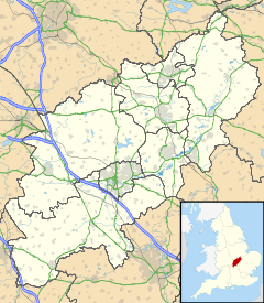
 Chapel Brampton
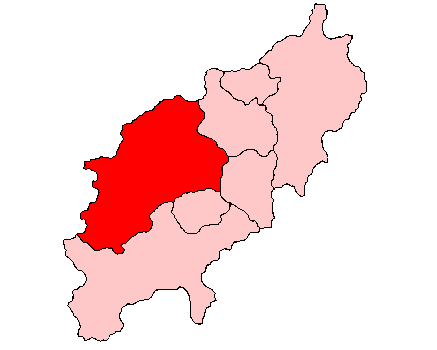
Chapel Brampton shown within NorthamptonshirePopulation 470 OS grid reference SP7267 District Daventry Shire county Northamptonshire Region East Midlands Country England Sovereign state United Kingdom Post town Northampton Postcode district NN6 Dialling code 01604 Police Northamptonshire Fire Northamptonshire Ambulance East Midlands EU Parliament East Midlands UK Parliament Daventry List of places: UK • England • Northamptonshire Chapel Brampton is a civil parish and village in the Daventry district of the county of Northamptonshire in England. Together with nearby Church Brampton, it is known as The Bramptons. At the time of the 2001 census, Chapel Brampton parish's population was 470 people.[1]
The nearby railway line is now part of the preserved Northampton & Lamport Railway which has its headquarters at Pitsford and Brampton railway station. Chapel Brampton has three pubs — the Spencer Arms is a former coaching inn whilst the Brampton Halt was part of the railway station. A new build on the site of the former Boughton cold store is named The Windhover after an old name for the Kestrel. The village has two conference centres: Sedgebrook Hall and Brampton Grange.
The village is notable for its distinctive Spencer Estate cottages. These Victorian sandstone cottages are of a similar design to cottages found in the nearby villages of Church Brampton, Harlestone and The Bringtons.
The (Red) Earl Spencer broke the neck of his favourite horse, Merry Tom, whilst out fox hunting and trying to jump the narrow River Nene. The Earl paid for a monument to be erected at the Brixworth end of what is now known as Merry Tom Lane, engraved 'Here Lies the body of Merry Tom'. A local wag scratched on it: "ridden to death by careless John". Merry Tom Lane was also the site of a level crossing. When the railway is rebuilt a small halt will be built there.
References
- ^ Office of National Statistics: Chapel Brampton CP: Parish headcounts. Retrieved 8 November 2009
External links
- A Tale of Two Villages: A Perambulation of Church with Chapel Brampton by Jack Wagstaff, a long-time resident of Chapel Brampton
Categories:- Villages in Northamptonshire
- Northamptonshire geography stubs

Wikimedia Foundation. 2010.