- Draughton, Northamptonshire
-
Coordinates: 52°23′01″N 0°53′05″W / 52.3837°N 0.8848°W
Draughton 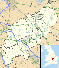
 Draughton
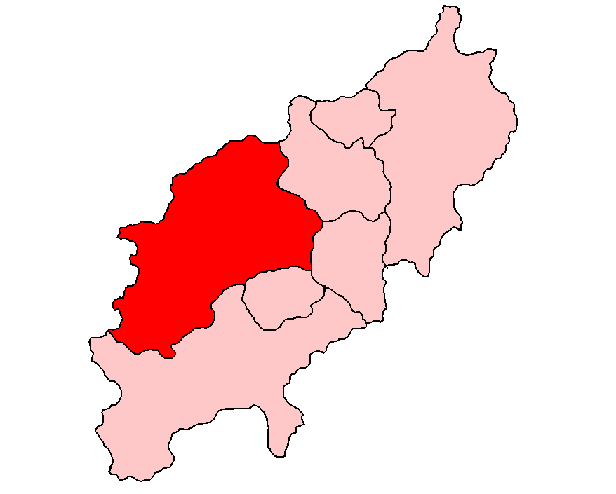
Draughton shown within NorthamptonshireOS grid reference SP7676 District Daventry Shire county Northamptonshire Region East Midlands Country England Sovereign state United Kingdom Post town Northampton Postcode district NN6 Dialling code 01604 Police Northamptonshire Fire Northamptonshire Ambulance East Midlands EU Parliament East Midlands UK Parliament Kettering List of places: UK • England • Northamptonshire Draughton is a village and civil parish in the Daventry district of the county of Northamptonshire, England. It is situated approximately one mile east of Maidwell at grid reference SP762767.
RAF Harrington
During the 2nd World War RAF Harrington used by the USAF was located about half a mile north-east of the village.
External links
 Media related to Draughton, Northamptonshire at Wikimedia CommonsCategories:
- Villages in Northamptonshire
- Northamptonshire geography stubs

Wikimedia Foundation. 2010.