- North Moreton
-
Coordinates: 51°36′07″N 1°11′31″W / 51.602°N 1.192°W
North Moreton 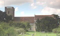
All Saints' parish church
 North Moreton
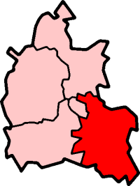
North Moreton shown within OxfordshirePopulation 341 (2001 census)[1] OS grid reference SU560895 Parish North Moreton District South Oxfordshire Shire county Oxfordshire Region South East Country England Sovereign state United Kingdom Post town Didcot Postcode district OX11 Dialling code 01235 Police Thames Valley Fire Oxfordshire Ambulance South Central EU Parliament South East England UK Parliament Wantage Website North Moreton List of places: UK • England • Oxfordshire North Moreton is a village and civil parish about 2 miles (3.2 km) east of Didcot. It was part of Wallingford Rural District in Berkshire until the 1974 boundary changes transferred it to the new South Oxfordshire District of Oxfordshire.
The parish church of All Saints was built in the 13th century and the superb chantry chapel of the Stapleton family was added in the 14th century. This has geometrical tracery, spirited carving outside, and an east window filled with 14th century glass showing the Passion of Christ and incidents in the lives of Our Lady, St Peter, St Paul and St Nicholas.[2]
References
- ^ "Area: North Moreton CP (Parish): Parish Headcounts". Neighbourhood Statistics. Office for National Statistics. http://neighbourhood.statistics.gov.uk/dissemination/LeadTableView.do?a=7&b=798671&c=North+Moreton&d=16&e=15&g=480945&i=1001x1003x1004&o=1&m=0&r=1&s=1268956497093&enc=1&dsFamilyId=779. Retrieved 18 March 2010.
- ^ Betjeman, John, ed. (1968) Collins Pocket Guide to English Parish Churches; the South. London: Collins; p. 114
Further reading
- Howat, Gerald (2000). A History of North Moreton. North Moreton: North Moreton Press. ISBN 0950695742.
- Page, William; Ditchfield, P.H., eds (1923). A History of the County of Berkshire, Volume 3. Victoria County History. pp. 492–498.
- Pevsner, Nikolaus (1966). Berkshire. The Buildings of England. Harmondsworth: Penguin Books. pp. 186–187.
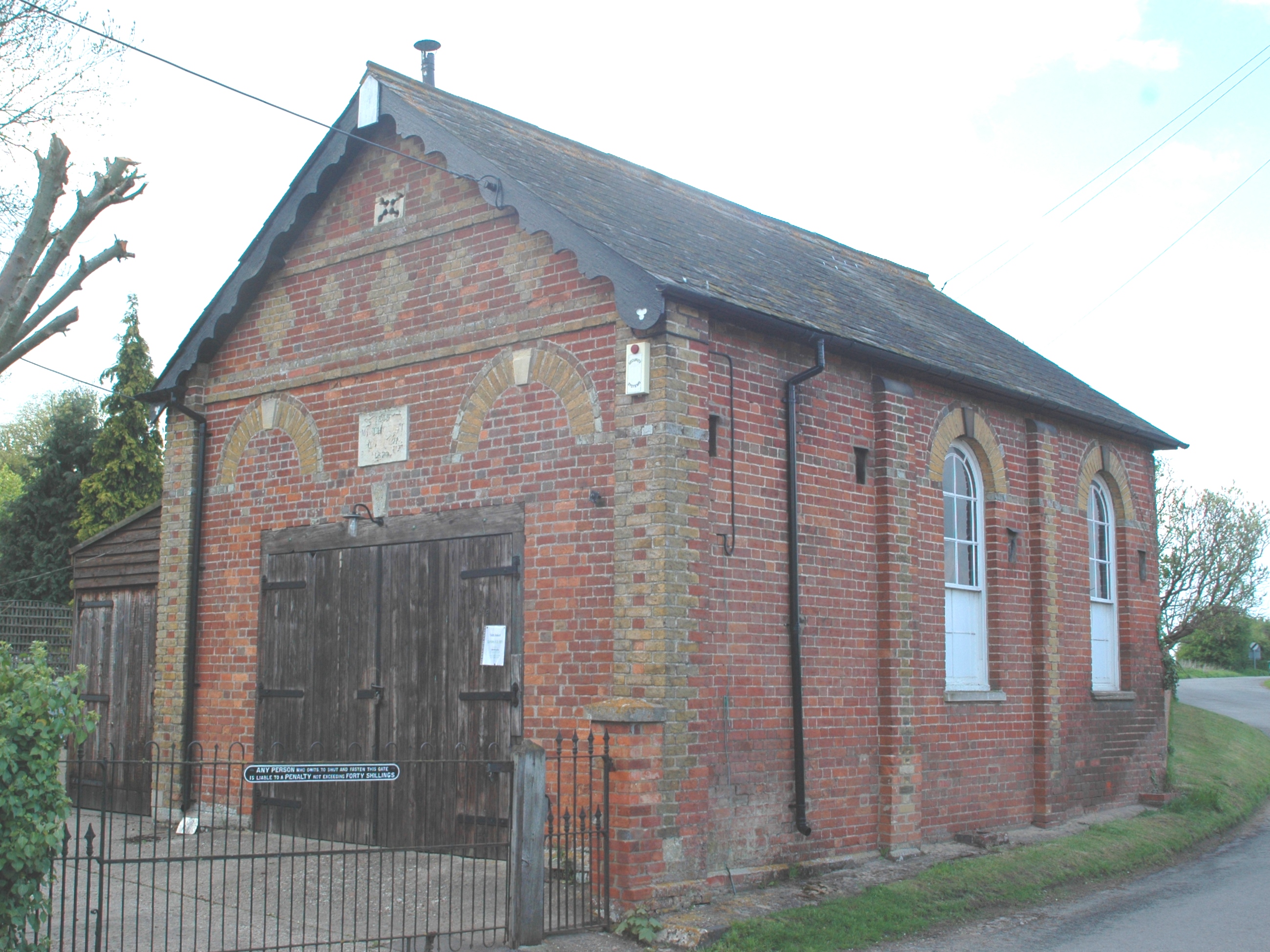
 Former Methodist chapel, built 1839 and altered 1871
 Thatched cottages in North Moreton
External links
 Media related to North Moreton at Wikimedia CommonsCategories:
- Villages in Oxfordshire
- Civil parishes in Oxfordshire


Wikimedia Foundation. 2010.