- National Register of Historic Places listings in Chautauqua County, New York
-
 Location of Chautauqua County in New York
List of the National Register of Historic Places listings in Chautauqua County, New York.
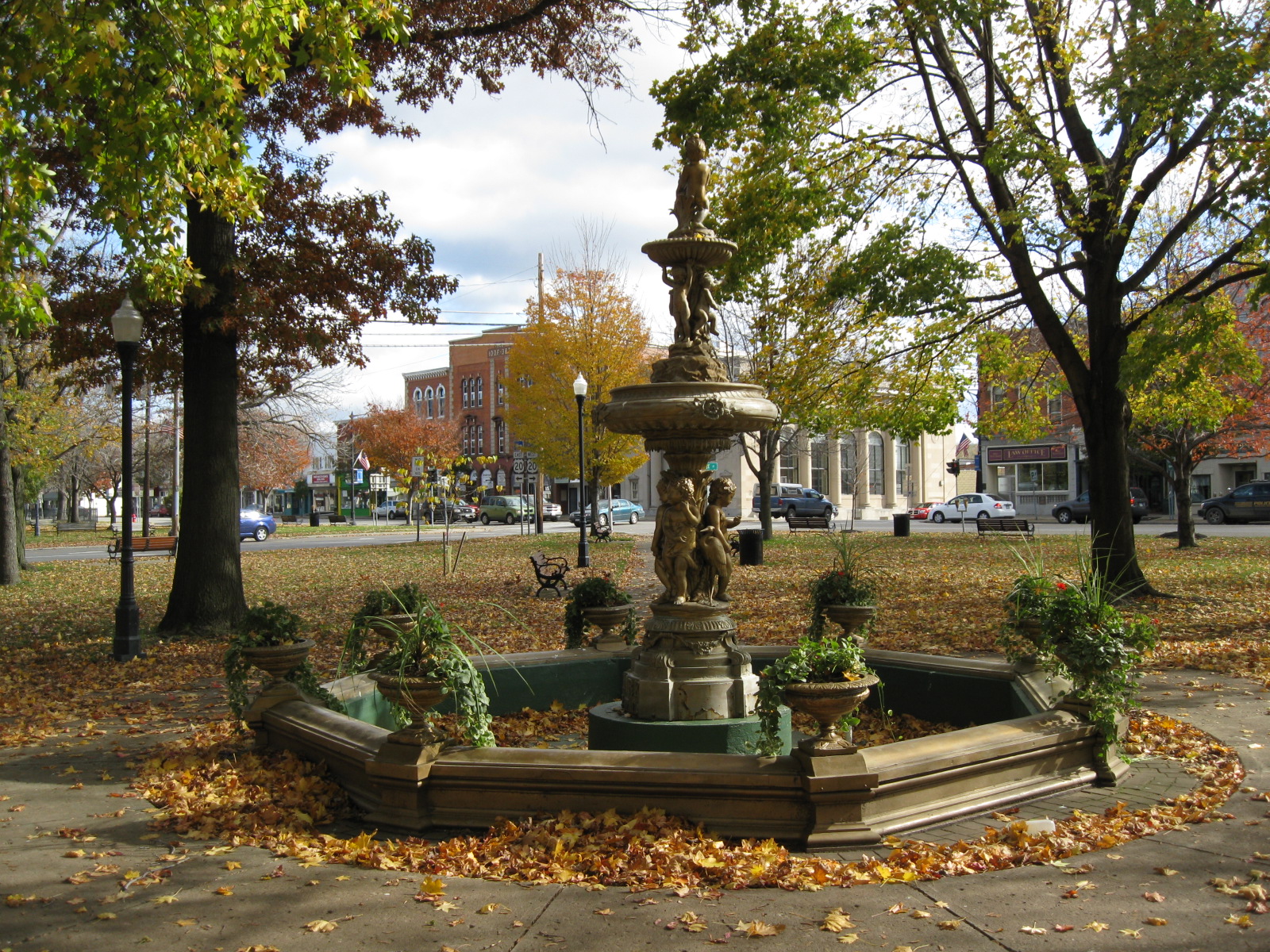
This is intended to be a complete list of properties and districts listed on the National Register of Historic Places in Chautauqua County, New York. The locations of National Register properties and districts for which the latitude and longitude coordinates are included below, may be seen in a Google map.[1]
The list includes one property and one district further designated as National Historic Landmarks.
-
- This National Park Service list is complete through NPS recent listings posted November 18, 2011.[2]
Contents: Counties in New York Albany (Albany) – Allegany – Bronx – Broome – Cattaraugus – Cayuga – Chautauqua – Chemung – Chenango – Clinton – Columbia – Cortland – Delaware – Dutchess – Erie (Buffalo) – Essex – Franklin – Fulton – Genesee – Greene – Hamilton – Herkimer – Jefferson – Kings (Brooklyn) – Lewis – Livingston – Madison – Monroe (Rochester) – Montgomery – Nassau – New York (Manhattan – Below 14th Street, 14th to 59th Streets, 59th to 110th Streets, Above 110th Street, Islands) – Niagara – Oneida – Onondaga (Syracuse) – Ontario – Orange – Orleans – Oswego – Otsego – Putnam – Queens – Rensselaer – Richmond (Staten Island) – Rockland – Saratoga – Schenectady – Schoharie – Schuyler – Seneca – St. Lawrence – Steuben – Suffolk – Sullivan – Tioga – Tompkins – Ulster – Warren – Washington – Wayne – Westchester (New Rochelle, Peekskill, Yonkers) – Wyoming – Yates Listings county-wide
[3] Landmark name Image Date listed Location City or town Summary 1 Atwater-Stone House December 16, 1983 29 Water St.
42°19′08″N 79°34′46″W / 42.318889°N 79.579444°WWestfield 2 Barcelona Lighthouse and Keeper's Cottage 
April 13, 1972 East Lake Rd.
42°20′28″N 79°35′43″W / 42.341111°N 79.595278°WWestfield 3 L. Bliss House September 26, 1983 90 W. Main St.
42°19′09″N 79°34′55″W / 42.319167°N 79.581944°WWestfield 4 Smith Bly House October 1, 1974 4 N. Maple St.
42°05′34″N 79°22′30″W / 42.092778°N 79.375°WAshville 5 Brocton Arch 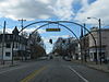
February 22, 1996 Jct. of Main St. with Lake and Highland Aves.
42°23′19″N 79°26′28″W / 42.388611°N 79.441111°WBrocton 6 Busti Mill July 23, 1976 Lawson Rd.
42°02′02″N 79°16′52″W / 42.033889°N 79.281111°WBusti 7 Harriet Campbell-Taylor House September 26, 1983 145 S. Portage St.
42°18′52″N 79°34′27″W / 42.314444°N 79.574167°WWestfield 8 Chautauqua Institution Historic District 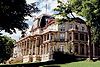
June 19, 1973 Bounded by Chautauqua Lake, North and Lowell Aves., and NY 17-J
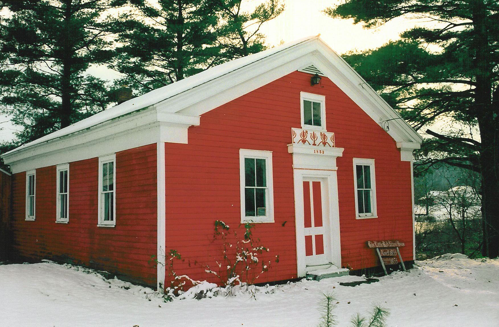
42°12′33″N 79°28′02″W / 42.209167°N 79.467222°WChautauqua 9 Clymer District School No. 5 
August 29, 1994 7929 Clymer Center Rd. (Co. Rt. 613)
42°03′17″N 79°34′57″W / 42.054722°N 79.5825°WClymer 10 Dunkirk Light 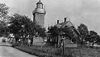
July 19, 1984 Dunkirk Harbor
42°29′38″N 79°21′15″W / 42.493889°N 79.354167°WDunkirk 11 Dunkirk Schooner Site May 1, 2009 Lake Erie42°33′00″N 79°36′00″W / 42.55°N 79.6°W Dunkirk 12 East Main Street Historic District December 16, 1983 E. Main St.
42°19′33″N 79°34′09″W / 42.325833°N 79.569167°WWestfield 13 Erie Railroad Station 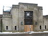
May 2, 2003 211-217 W. Second St.
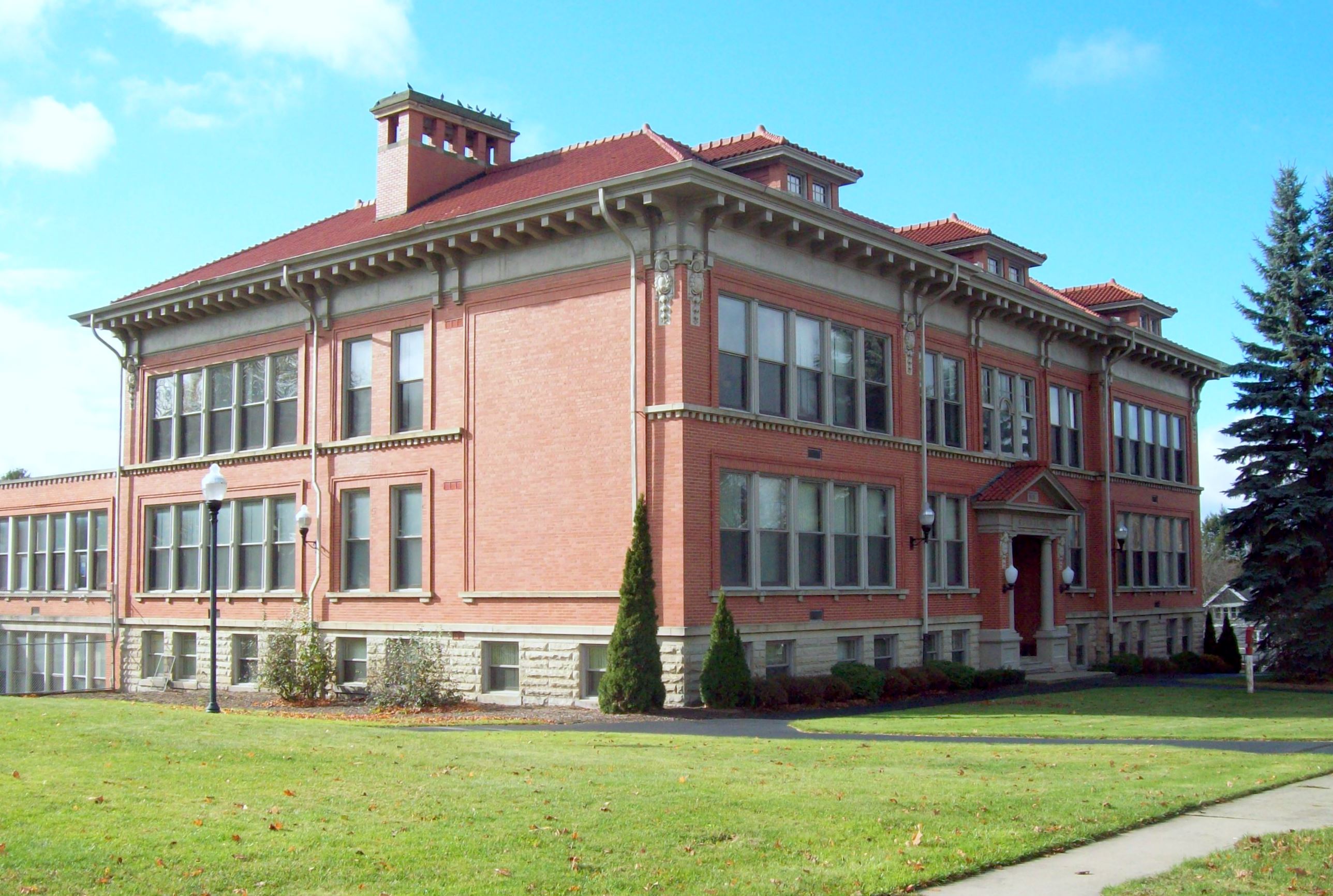
42°05′40″N 79°14′41″W / 42.094444°N 79.244722°WJamestown 14 Euclid Avenue School 
March 21, 1985 28 Euclid Ave.
42°06′30″N 79°14′24″W / 42.108333°N 79.24°WJamestown 15 Fay-Usborne Mill September 26, 1983 48 Pearl St.
42°19′38″N 79°34′38″W / 42.327222°N 79.577222°WWestfield 16 Gov. Reuben Fenton Mansion 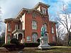
October 18, 1972 68 S. Main St.
42°05′29″N 79°14′20″W / 42.091389°N 79.238889°WJamestown 17 Fredonia Commons Historic District 
October 19, 1978 Main, Temple, Church, Day, and Center Sts.
42°26′25″N 79°19′55″W / 42.440278°N 79.331944°WFredonia 18 French Portage Road Historic District December 16, 1983 E. Main and Portage Sts.
42°19′11″N 79°34′33″W / 42.319722°N 79.575833°WWestfield 19 Frank A. Hall House September 26, 1983 34 Washington St.
42°19′31″N 79°34′41″W / 42.325278°N 79.578056°WWestfield 20 Jamestown Armory 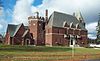
January 12, 1995 34 Porter Ave.
42°05′35″N 79°15′18″W / 42.093056°N 79.255°WJamestown 21 Lake Shore & Michigan Southern Freight Depot September 26, 1983 English St.
42°19′52″N 79°34′35″W / 42.331111°N 79.576389°WWestfield 22 Lake Shore and Michigan Southern Railway Station December 16, 1983 English St.
42°19′41″N 79°34′56″W / 42.328056°N 79.582222°WWestfield 23 Dr. John Lord House March 2, 1991 Forest Rd. Extension
42°02′34″N 79°16′50″W / 42.042778°N 79.280556°WBusti 24 Gerald Mack House September 26, 1983 79 N. Portage St.
42°19′31″N 79°34′52″W / 42.325278°N 79.581111°WWestfield 25 McMahan Homestead September 26, 1983 232 W. Main Rd.
42°18′42″N 79°35′27″W / 42.311667°N 79.590833°WWestfield 26 Midway Park March 9, 2009 NY 430
42°12′06″N 79°25′20″W / 42.201667°N 79.422222°WMaple Springs 27 Lewis Miller Cottage, Chautauqua Institution 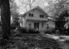
October 15, 1966 NY 17J
42°12′30″N 79°27′56″W / 42.208333°N 79.465556°WChautauqua 28 Nixon Homestead September 26, 1983 119 W. Main St.
42°19′03″N 79°35′05″W / 42.3175°N 79.584722°WWestfield 29 Partridge-Sheldon House 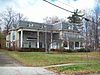
June 2, 2000 70 Prospect St.
42°05′21″N 79°14′15″W / 42.089167°N 79.2375°WJamestown 30 Pennsylvania Railroad Station August 6, 1993 Water St.
42°14′43″N 79°29′43″W / 42.245278°N 79.495278°WMayville 31 Point Chautauqua Historic District May 17, 1996 Roughly bounded by NY 430 and Chautauqua Lake between Lake and Leet Aves.
42°14′15″N 79°27′37″W / 42.2375°N 79.460278°WMayville 32 Point Gratiot Lighthouse Complex 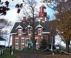
December 18, 1979 Sycamore Rd.
42°29′37″N 79°21′15″W / 42.493611°N 79.354167°WDunkirk 33 Rorig Bridge September 26, 1983 Water St. at Chautauqua Creek
42°18′58″N 79°34′44″W / 42.316111°N 79.578889°WWestfield 34 School No. 7 (Dunkirk, New York) 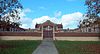
March 5, 1992 Jct. of E. Lake Shore Dr. and N. Serval St.
42°29′46″N 79°19′00″W / 42.496111°N 79.316667°WDunkirk 35 Henry Dwight Thompson House September 26, 1983 29 Wood St.
42°19′00″N 79°34′10″W / 42.316667°N 79.569444°WWestfield 36 US Post Office-Dunkirk 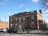
November 17, 1988 410 Central Ave.
42°28′54″N 79°20′01″W / 42.481667°N 79.333611°WDunkirk 37 US Post Office-Fredonia 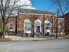
November 17, 1988 21 Day St.
42°26′28″N 79°19′57″W / 42.441111°N 79.3325°WFredonia 38 Ward House September 26, 1983 118 W. Main St.
42°19′03″N 79°35′03″W / 42.3175°N 79.584167°WWestfield 39 Welch Factory Building No. 1 September 26, 1983 101 N. Portage St.
42°19′35″N 79°34′55″W / 42.326389°N 79.581944°WWestfield 40 The Wellman Building August 21, 2009 101-103 W. 3rd St. & 215-217 Cherry St.
42°05′46″N 79°14′33″W / 42.096153°N 79.242536°WJamestown New listing; refnum 09000629 41 Reuben Gridley Wright Farm Complex September 26, 1983 233 E. Main St.
42°20′01″N 79°33′54″W / 42.333611°N 79.565°WWestfield 42 Reuben Wright House September 26, 1983 309 E. Main St.
42°19′53″N 79°33′38″W / 42.331389°N 79.560556°WWestfield 43 York-Skinner House September 26, 1983 31 Union St.
42°19′21″N 79°34′28″W / 42.3225°N 79.574444°WWestfield See also
References
- ^ The latitude and longitude information provided is primarily from the National Register Information System, and has been found to be fairly accurate for about 99% of listings. For 1%, the location info may be way off. We seek to correct the coordinate information wherever it is found to be erroneous. Please leave a note in the Discussion page for this article if you believe any specific location is incorrect.
- ^ "National Register of Historic Places: Weekly List Actions". National Park Service, United States Department of the Interior. Retrieved on November 18, 2011.
- ^ Numbers represent an ordering by significant words. Various colorings, defined here, differentiate National Historic Landmark sites and National Register of Historic Places Districts from other NRHP buildings, structures, sites or objects.
External links
A useful list of the above sites, with street addresses and other information, is available at Chautauqua County listing, at National Register of Historic Places.Com, a private site serving up public domain information on NRHPs.
Categories:- Chautauqua County, New York
- National Register of Historic Places in New York by county
-


Wikimedia Foundation. 2010.