- Oakwood, Staten Island
-
Coordinates: 40°33′37″N 74°07′12″W / 40.56028°N 74.12°W Oakwood is the name of a neighborhood located in east central Staten Island, one of the five boroughs of New York City, USA. It lies near the southern shore, and is bordered by Ebbitts Street (north); the Atlantic Ocean (east); Great Kills Park (south); and the Staten Island Railway (west). [1]
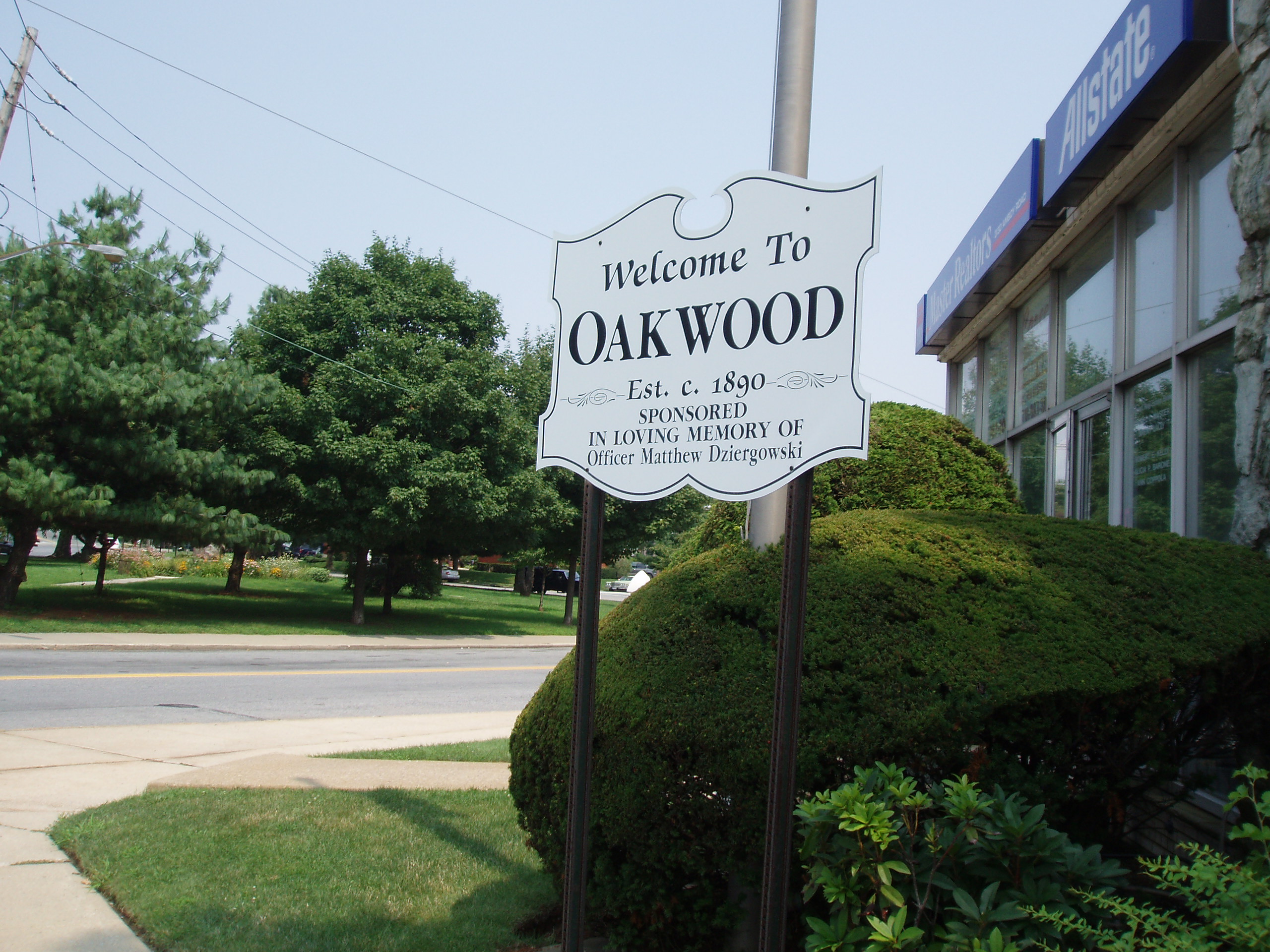
 Oakwood Welcome Sign with Amundsen Circle in the background
The community's station on the Staten Island Railway bears the name Oakwood Heights, because of the fact that the neighborhood is divided into two sections: Oakwood Heights, to the west, and Oakwood Beach, to the east. The area's bus service is provided by the S57 (along Amboy Road), and the S78, and S79 buses (along Hylan Boulevard). [1]
Dominated by farmland in the heights area, and an ocean resort in the beach area until the mid-20th Century, Oakwood started suburbanization when a subway line was proposed between Brooklyn and Staten Island, and it underwent rapid suburbanization after the Verrazano-Narrows Bridge opened in November 1964. Today, Oakwood is a middle-class neighborhood of one- and two-family homes and garden apartments, with important commercial establishments along Hylan Boulevard. [1]
Points of interest located in Oakwood include Monsignor Farrell High School and a string of cemeteries on the neighborhood's southwest side, most notably Frederick Douglass Memorial Park, an African-American burial ground — a curious anomaly as very few African-Americans actually reside in Oakwood or any of the neighborhoods that surround it. Historic Richmond Town lies immediately to the west.
The neighborhood has a coastline on the Lower New York Bay; the coastal area is sometimes referred to as Oakwood Beach, and is the site of a sewage treatment facility. Bordering this facility on the south is the Staten Island Unit of the Gateway National Recreation Area, also known locally (and formerly, officially) as Great Kills Park.
Oakwood's ZIP Code is 10306, the post office serving it being located in New Dorp, the community's northern neighbor.
The greenbelt woods located along Riedel Avenue have some concrete artifacts (such as a piece of sidewalk located near the pond at Riedel and Thomas Street), and pieces of the Great Depression can be occasionally found along the trails, such as bricks or chimneys or foundations of houses that were once located in the area, when it was still rural. The trails along Riedel Avenue also contain large boulders dropped off from glacial retreat during the ice age (though many are painted red due to vandals).
Amundsen Circle (officially the Captain Roald Amundsen Plaza) is a traffic circle and 1.05-acre (4,200 m2) park bounded by Amboy Road, Clarke Avenue and Savoy Street. Amundsen Circle and the 4.5-mile (7.2 km) Amundsen Trail for joggers both commemorate explorer Roald Amundsen. The park was acquired by the city in 1928, and named on 1929-07-09. In the park, there is a stone plaque, erected in 1933, when there was a large Norwegian population in Oakwood, by the Norsemen Glee Club of Staten Island and the Norwegian Singing Society of Brooklyn. The park is currently maintained by the Richmond Ever-Green Garden Club.[2][3]
References
- Notes
- ^ a b c Kenneth T. Jackson: The Encyclopedia of New York City: The New York Historical Society; Yale University Press; 1995. P. 859.
- ^ Fioravante, Janice (2002-01-27). "If You're Thinking of Living In/Oakwood, Staten Island; City Streets, Country Feel, and a Beach". New York Times. http://www.nytimes.com/2002/01/27/realestate/if-you-re-thinking-living-oakwood-staten-island-city-streets-country-feel-beach.html. Retrieved 2009-08-22.
- ^ "CAPTAIN ROALD AMUNDSEN PLAZA". Historical Signs. City of New York Department of Parks & Recreation. http://mobile.nycgovparks.org./?id=102.
Categories:- Staten Island geography stubs
- Neighborhoods in Staten Island
Wikimedia Foundation. 2010.