- Tscherms
-
Tscherms — Comune — Gemeinde Tscherms
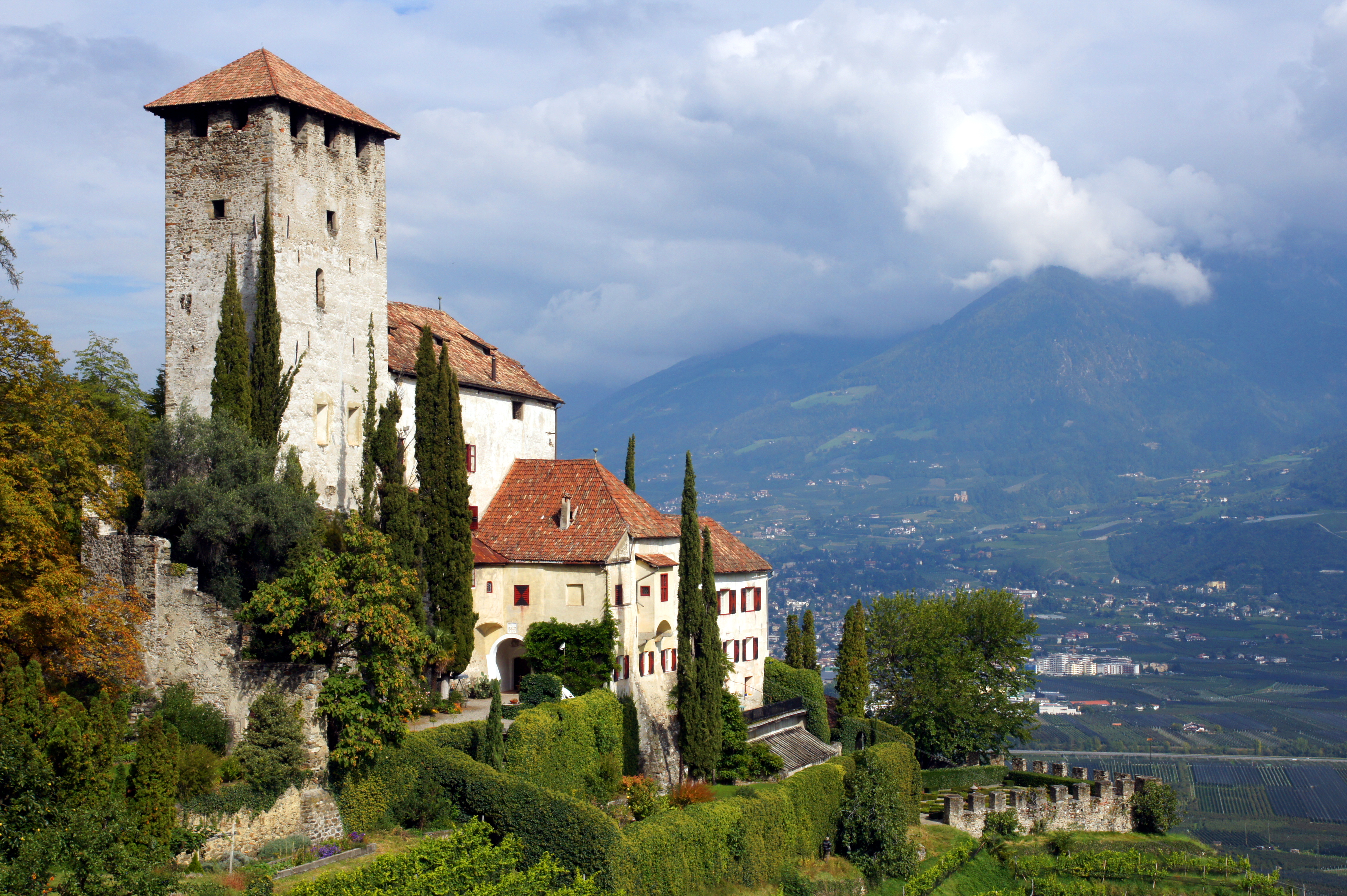
Comune di CermesLebenberg Castle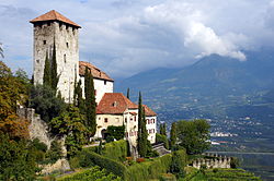 Location of Tscherms in Italy
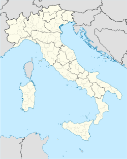
 Tscherms
Coordinates: 46°38′N 11°9′E / 46.633°N 11.15°ECoordinates: 46°38′N 11°9′E / 46.633°N 11.15°E Country Italy Region Trentino-Alto Adige/Südtirol Province South Tyrol (BZ) Government - Mayor Roland Pernthaler Area - Total 6.6 km2 (2.5 sq mi) Population (Nov. 2010) - Total 1,398 - Density 211.8/km2 (548.6/sq mi) Demonym German: Tschermser
Italian: cermesiTime zone CET (UTC+1) - Summer (DST) CEST (UTC+2) Postal code 39010 Dialing code 0473 Website Official website Tscherms (Italian: Cermes) is a comune (municipality) in South Tyrol in the Italian region Trentino-Alto Adige/Südtirol, located about 60 km north of Trento and about 20 km northwest of Bolzano (Bozen). Once part of the commune of Marling Tscherms became a commune on its own in 1897.[1]
As of November 30, 2010, it had a population of 1,398 and an area of 6.6 km².[2]
Tscherms borders the following municipalities: Lana, Marling and Merano.
Contents
History
Coat-of-arms
The emblem is a rampant fox on or background. It is the sign of the Lords of Fuchsberg owners of the village from 1427 to 1832. The arms was adopted in 1966.[3]
Society
Linguistic distribution
According to the 2001 census, 95.54% of the population speak German, 4.37% Italian and 0.09% Ladin as first language.[4]
Demographic evolution

References
- ^ http://www.gemeinde.tscherms.bz.it/system/web/zusatzseite.aspx?menuonr=219551862&detailonr=217475973
- ^ All demographics and other statistics: Italian statistical institute Istat.
- ^ Heraldry of the World: Tscherms
- ^ Oscar Benvenuto (ed.): "South Tyrol in Figures 2008", Provincial Statistics Institute of the Autonomous Province of South Tyrol, Bozen/Bolzano 2007, p. 18, table 10
External links
- (German) (Italian) Homepage of the municipality
Categories:


Wikimedia Foundation. 2010.