- Marina, San Diego
-
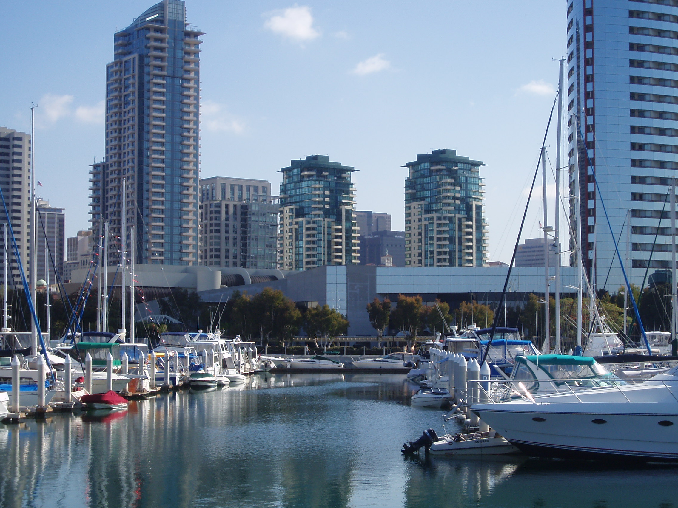
Marina — Neighborhood of San Diego — Southeastern part of the Marina district viewed from Marina Park. Location within Central San Diego
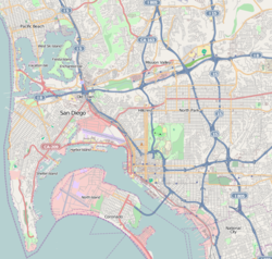
 Marina
Coordinates: 32°42′42″N 117°10′9″W / 32.71167°N 117.16917°W Area[1] - Total 1.4 km2 (0.536 sq mi) - Land 1.4 km2 (0.536 sq mi) Population (2008)[1] - Total 3,894 - Density 2,803.5/km2 (7,261/sq mi) ZIP Code 92101 Area code(s) 619 The Marina district is a neighborhood in the southwest section of Downtown San Diego, California, U.S.
Contents
Geography
 View of west end of Market st., viewed from the 14th floor of Renaissance condominiums, which is located at First and Market.
The district is bordered to the north by the Columbia district, bordered to east/south-east by the Gaslamp Quarter, and is bordered to the south-west by the San Diego Marina.[2]
This district used to be full of warehouses and vacant lots,[3] but now it houses mid-rise and high-rise hotels, apartments, condominiums, medical offices and retail. Seaport Village and the San Diego Convention Center are located in this neighborhood. Pantoja Park, the oldest park in San Diego, is located in the Marina District.
See also
External links
References
- ^ a b [1] Data for the Marina district
- ^ Neighborhood Map. Centre City Development Corporation. Retrieved on 2007-09-18.
- ^ "Marina District". San Diego Convention & Visitors Bureau. http://www.sandiego.org/article_set/Visitors/32/620. Retrieved 2007-04-02.
Neighborhoods of San Diego Northern Bay Ho · Bay Park · Carmel Valley · Clairemont · Del Mar Heights · Del Mar Mesa · La Jolla · La Jolla Village · Mission Beach · North City · Pacific Beach · Pacific Highlands Ranch · Torrey Hills · Torrey Pines · University City · Village of La JollaNortheastern Black Mountain Ranch · Carmel Mountain Ranch · Mira Mesa · Miramar · Rancho Bernardo · Rancho Encantada · Rancho Peñasquitos · Sabre Springs · San Pasqual Valley · Scripps Ranch · Sorrento Valley · Sorrento Mesa · Torrey HighlandsEastern Birdland · Kearny Mesa · Mission Valley East · Navajo (Allied Gardens · Del Cerro · Grantville · San Carlos) · Serra Mesa · TierrasantaWestern Burlingame · Hillcrest · Linda Vista · Midtown · Mission Hills · Mission Valley West · Morena · North Park · Ocean Beach · Old Town · Point Loma (La Playa · Liberty Station · Loma Portal · Midway · Point Loma Heights · Roseville-Fleetridge · Sunset Cliffs · Wooded Area) · University HeightsCentral Downtown (Columbia · Core · Cortez Hill · East Village · Gaslamp Quarter · Harborview · Little Italy · Marina) · Balboa Park · Bankers Hill · Barrio Logan · Golden Hill · Grant Hill · Logan Heights · Middletown · Sherman Heights · South Park · StocktonMid-City Adams North · Azalea/Hollywood Park · Castle · Cherokee Point · Chollas Creek · City Heights · Colina del Sol · College Area · Corridor · Darnall · El Cerrito · Fairmont Park · Fox Canyon · Gateway · Islenair · Kensington · Normal Heights · Oak Park · Ridgeview · Redwood Village · Rolando · Swan Canyon · Talmadge · Teralta · WebsterSoutheastern Alta Vista · Bay Terraces · Broadway Heights · Chollas View · Emerald Hills · Encanto · Jamacha-Lomita · Lincoln Park · Mountain View · Mount Hope · Paradise Hills · Shelltown · Skyline · Southcrest · Valencia ParkSouthern Border · Egger Highlands · Nestor · Ocean View Hills · Otay Mesa · Otay Mesa West · Palm City · San Ysidro · Tijuana River ValleyCoordinates: 32°42′42″N 117°10′9″W / 32.71167°N 117.16917°W
Categories:- San Diego County, California geography stubs
- Neighborhoods in San Diego, California
- Urban communities in San Diego, California
- Warehouse districts of the United States
- Economy of San Diego, California


Wikimedia Foundation. 2010.