- Chapman Township, Clay County, Kansas
-
Chapman Township — Township — Location in Clay County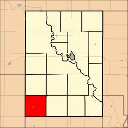
Coordinates: 39°10′45″N 097°19′01″W / 39.17917°N 97.31694°WCoordinates: 39°10′45″N 097°19′01″W / 39.17917°N 97.31694°W Country United States State Kansas County Clay Area - Total 35.91 sq mi (93 km2) - Land 35.88 sq mi (92.92 km2) - Water 0.03 sq mi (0.08 km2) 0.09% Elevation 1,352 ft (412 m) Population (2000) - Total 202 - Density 5.6/sq mi (2.2/km2) GNIS feature ID 0476299 Chapman Township is a township in Clay County, Kansas, USA. As of the 2000 census, its population was 202.
Geography
Chapman Township covers an area of 35.91 square miles (93.0 km2) and contains one incorporated settlement, Longford. According to the USGS, it contains one cemetery, Swartwood.
The stream of West Chapman Creek runs through this township.
References
External links
Municipalities and communities of Clay County, Kansas Cities Clay Center | Clifton‡ | Green | Longford | Morganville | Oak Hill | Vining‡ | Wakefield

Townships Athelstane | Blaine | Bloom | Chapman | Clay Center | Exeter | Five Creeks | Garfield | Gill | Goshen | Grant | Hayes | Highland | Mulberry | Oakland | Republican | Sherman | Union
Unincorporated
communitiesIdana | Industry‡ | Ladysmith
Footnotes ‡This populated place also has portions in an adjacent county or counties
Categories:- Townships in Clay County, Kansas
- North Central Kansas geography stubs

Wikimedia Foundation. 2010.