- Mocksville, North Carolina
-
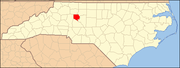
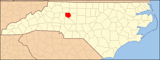
Mocksville, North Carolina — Town — Location of Mocksville, North Carolina
Coordinates: 35°53′47″N 80°33′43″W / 35.89639°N 80.56194°WCoordinates: 35°53′47″N 80°33′43″W / 35.89639°N 80.56194°W Country United States State North Carolina County Davie Area – Total 6.9 sq mi (17.8 km2) – Land 6.9 sq mi (17.8 km2) – Water 0.0 sq mi (0.0 km2) Elevation 889 ft (271 m) Population (2000) – Total 4,178 – Density 607.2/sq mi (234.4/km2) Time zone Eastern (EST) (UTC-5) – Summer (DST) EDT (UTC-4) ZIP code 27028 Area code(s) 336 FIPS code 37-43720[1] GNIS feature ID 1021506[2] Mocksville is a town in Davie County, North Carolina, USA. The population was 4,178 at the 2000 census. It is the county seat of Davie County[3].
Contents
Geography
Mocksville is located at 35°53′47″N 80°33′43″W / 35.89639°N 80.56194°W (35.896320, -80.561926)[4].
According to the United States Census Bureau, the town has a total area of 6.9 square miles (18 km2), all land.
Demographics
As of the census[1] of 2000, there were 4,178 people, 1,627 households, and 1,067 families residing in the town. The population density was 607.2 people per square mile (234.5/km²). There were 1,781 housing units at an average density of 258.8 per square mile (99.9/km²). The racial makeup of the town was 76.14% White, 17.76% African American, 0.19% Native American, 0.67% Asian, 0.05% Pacific Islander, 3.83% from other races, and 1.36% from two or more races. Hispanic or Latino of any race were 8.07% of the population.
There were 1,627 households out of which 30.4% had children under the age of 18 living with them, 46.7% were married couples living together, 14.6% had a female householder with no husband present, and 34.4% were non-families. 30.7% of all households were made up of individuals and 14.8% had someone living alone who was 65 years of age or older. The average household size was 2.42 and the average family size was 2.97.
In the town the population was spread out with 23.5% under the age of 18, 8.9% from 18 to 24, 27.7% from 25 to 44, 21.4% from 45 to 64, and 18.6% who were 65 years of age or older. The median age was 37 years. For every 100 females there were 90.3 males. For every 100 females age 18 and over, there were 83.3 males.
The median income for a household in the town was $35,407, and the median income for a family was $42,357. Males had a median income of $31,540 versus $23,375 for females. The per capita income for the town was $18,703. About 9.3% of families and 12.6% of the population were below the poverty line, including 12.8% of those under age 18 and 14.3% of those age 65 or over.
Notable people
- Daniel Boone, lived near Mocksville 1750-59
- Hinton Rowan Helper. His residence in Mocksville, Hinton Rowan Helper House, is now a monument.
- Thomas Ferebee
References
- ^ a b "American FactFinder". United States Census Bureau. http://factfinder.census.gov. Retrieved 2008-01-31.
- ^ "US Board on Geographic Names". United States Geological Survey. 2007-10-25. http://geonames.usgs.gov. Retrieved 2008-01-31.
- ^ "Find a County". National Association of Counties. http://www.naco.org/Counties/Pages/FindACounty.aspx. Retrieved 2011-06-07.
- ^ "US Gazetteer files: 2010, 2000, and 1990". United States Census Bureau. 2011-02-12. http://www.census.gov/geo/www/gazetteer/gazette.html. Retrieved 2011-04-23.
External links
Municipalities and communities of Davie County, North Carolina County seat: MocksvilleTowns Bermuda Run | Cooleemee | Mocksville
Unincorporated
communitiesAdvance | Cornatzer | Farmington | Hillsdale | Sheffield | Turkeyfoot
Categories:- County seats in North Carolina
- Populated places in Davie County, North Carolina
- Populated places established in 1839
- Towns in North Carolina

Wikimedia Foundation. 2010.