- Mayer, Arizona
-
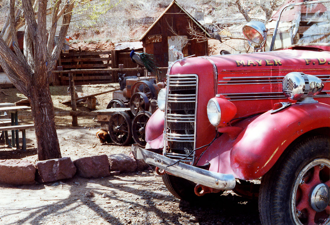
Mayer, Arizona — CDP — Old Mayer fire engine Location in Yavapai County and the state of Arizona
Coordinates: 34°25′9″N 112°14′59″W / 34.41917°N 112.24972°WCoordinates: 34°25′9″N 112°14′59″W / 34.41917°N 112.24972°W Country United States State Arizona County Yavapai Area – Total 20.1 sq mi (52.1 km2) – Land 20.1 sq mi (52.0 km2) – Water 0.0 sq mi (0.0 km2) Elevation 4,415 ft (1,346 m) Population (2000) – Total 1,408 – Density 70.2/sq mi (27.1/km2) Time zone MST (UTC-7) ZIP code 86333 Area code(s) 928 FIPS code 04-45180 GNIS feature ID 0031605 Mayer is a census-designated place (CDP) in Yavapai County, Arizona, United States. The population was 1,408 at the 2000 census. Mayer includes three sites listed on the National Register of Historic Places: Mayer Apartments, Mayer Business Block, and Mayer Red Brick Schoolhouse.
The 1993-1994 CBS comedy/western television series Harts of the West, starring Beau Bridges and his father, Lloyd Bridges, was filmed in Mayer but set in Nevada.
Geography
Mayer is located at 34°25′9″N 112°14′59″W / 34.41917°N 112.24972°W (34.419154, -112.249779).[1]
According to the United States Census Bureau, the CDP has a total area of 20.1 square miles (52 km2), all of it land.
Demographics
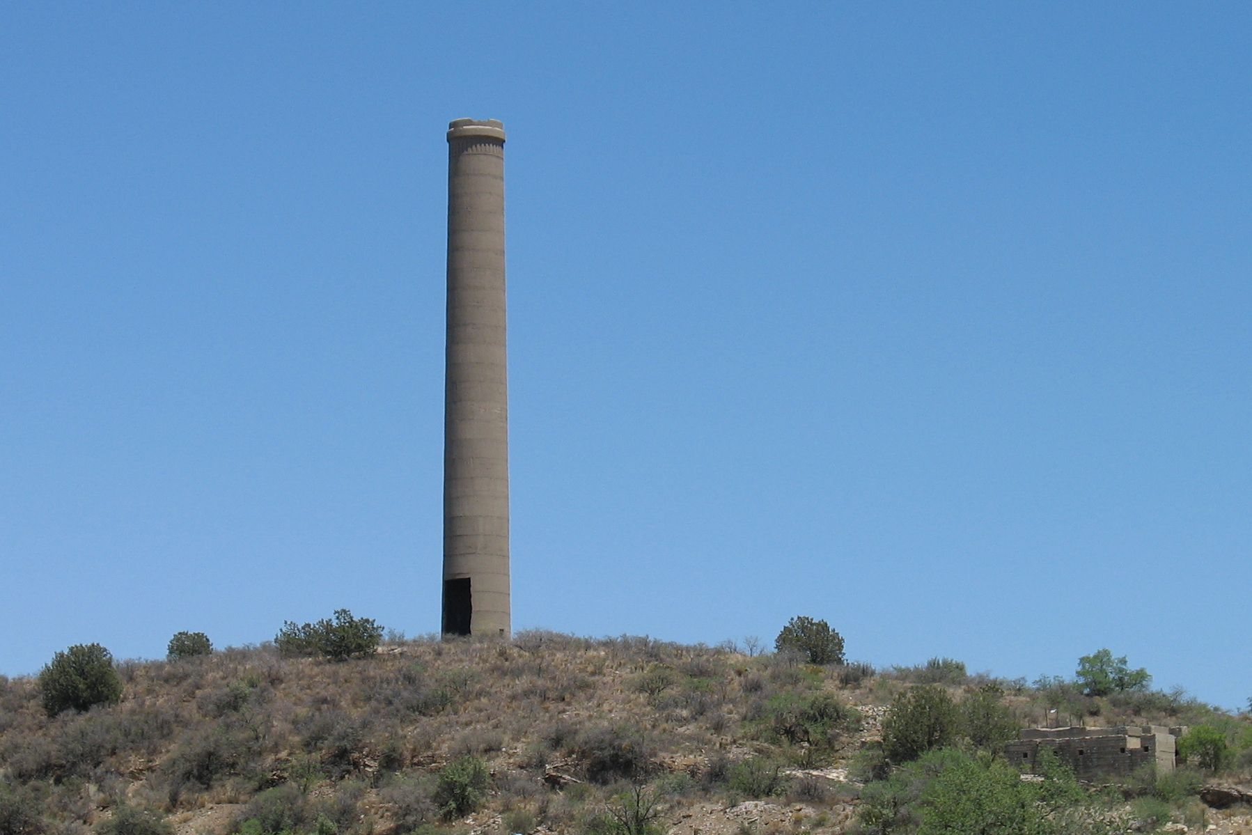
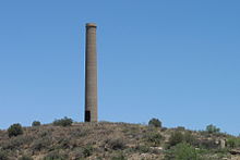 Old smelter in Mayer
As of the census[2] of 2000, there were 1,408 people, 585 households, and 379 families residing in the CDP. The population density was 70.2 people per square mile (27.1/km²). There were 714 housing units at an average density of 35.6 per square mile (13.7/km²). The racial makeup of the CDP was 93.82% White, 1.21% Native American, 0.21% Asian, 2.63% from other races, and 2.13% from two or more races. 8.95% of the population were Hispanic or Latino of any race.
There were 585 households out of which 25.5% had children under the age of 18 living with them, 51.6% were married couples living together, 8.2% had a female householder with no husband present, and 35.2% were non-families. 27.5% of all households were made up of individuals and 13.3% had someone living alone who was 65 years of age or older. The average household size was 2.41 and the average family size was 2.94.
In the CDP the population was spread out with 23.7% under the age of 18, 5.8% from 18 to 24, 23.4% from 25 to 44, 28.3% from 45 to 64, and 19.0% who were 65 years of age or older. The median age was 44 years. For every 100 females there were 99.2 males. For every 100 females age 18 and over, there were 97.6 males.
The median income for a household in the CDP was $28,412, and the median income for a family was $33,988. Males had a median income of $38,304 versus $21,417 for females. The per capita income for the CDP was $14,297. About 14.1% of families and 19.1% of the population were below the poverty line, including 13.0% of those under age 18 and 16.9% of those age 65 or over.
References
- ^ "US Gazetteer files: 2010, 2000, and 1990". United States Census Bureau. 2011-02-12. http://www.census.gov/geo/www/gazetteer/gazette.html. Retrieved 2011-04-23.
- ^ "American FactFinder". United States Census Bureau. http://factfinder.census.gov. Retrieved 2008-01-31.
Municipalities and communities of Yavapai County, Arizona Cities Cottonwood | Peoria‡ | Prescott | Sedona‡

Towns CDPs Ash Fork | Bagdad | Big Park | Black Canyon City | Congress | Cordes Lakes | Cornville | Lake Montezuma | Mayer | Paulden | Peeples Valley | Seligman | Spring Valley | Verde Village | Wilhoit | Williamson | Yarnell
Unincorporated
communitiesCherry | Cleator | Crown King | Drake | Iron Springs | Kirkland | Red Rock | Skull Valley
Indian reservation Hualapai Indian Reservation
Ghost towns Alexandra | Big Bug | Bradshaw City | Bumble Bee | Catoctin | Cordes | Jerome Junction | Octave | Piedmont | Stanton | Tip Top | Weaver
Footnotes ‡This populated place also has portions in an adjacent county or counties
Categories:- Census-designated places in Yavapai County, Arizona


Wikimedia Foundation. 2010.