- Modena, Utah
-
Modena — Unincorporated community — Location within the state of Utah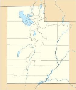
 Modena
Coordinates: 37°47′56″N 113°55′27″W / 37.79889°N 113.92417°WCoordinates: 37°47′56″N 113°55′27″W / 37.79889°N 113.92417°W Country United States State Utah County Iron Named for Modena Elevation 5,476 ft (1,669 m) Time zone Mountain (MST) (UTC-7) - Summer (DST) MDT (UTC-6) ZIP codes 84753 FIPS code GNIS feature ID 1430394[1] Historical populations Census Pop. %± 1910 49 — 1920 129 163.3% 1930 131 1.6% 1940 175 33.6% 1950 130 −25.7% Source: U.S. Census Bureau[2] Modena is an unincorporated community in far western Iron County, Utah, United States, near the Nevada border. It lies along State Route 56 west of the city of Parowan, the county seat of Iron County.[3] Its elevation is 5,476 feet (1,669 m).[1] Although Modena is unincorporated, it has a post office, with the ZIP code of 84753.[4]
See also
References
- ^ a b "Modena, Utah". Geographic Names Information System, U.S. Geological Survey. http://geonames.usgs.gov/pls/gnispublic/f?p=gnispq:3:::NO::P3_FID:1430394. Retrieved 2008-04-12.
- ^ "Census of Population and Housing". U.S. Census Bureau. http://www.census.gov/prod/www/abs/decennial/. Retrieved November 7, 2011.
- ^ Rand McNally. The Road Atlas '08. Chicago: Rand McNally, 2008, p. 102.
- ^ Zip Code Lookup
Municipalities and communities of Iron County, Utah County seat: Parowan Cities Cedar City | Enoch | Parowan

Towns CDPs Unincorporated
communitiesBeryl | Hamilton Fort | Lund | Modena
Ghost town Categories:- Populated places in Iron County, Utah
- Unincorporated communities in Utah
- Utah geography stubs


Wikimedia Foundation. 2010.