- Munford, Tennessee
-
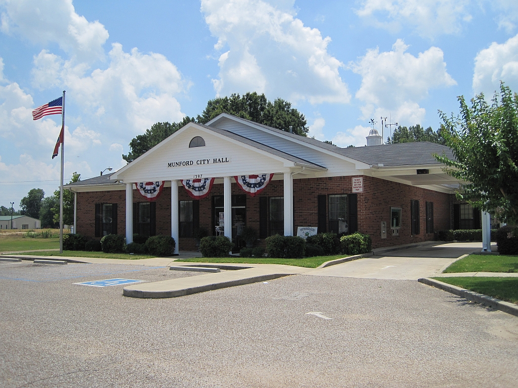
 Munford City Hall
Munford, Tennessee — City — Location of Munford, Tennessee
Coordinates: 35°26′41″N 89°48′38″W / 35.44472°N 89.81056°WCoordinates: 35°26′41″N 89°48′38″W / 35.44472°N 89.81056°W Country United States State Tennessee County Tipton Area – Total 8.1 sq mi (20.9 km2) – Land 8.0 sq mi (20.8 km2) – Water 0.0 sq mi (0.0 km2) Elevation 446 ft (136 m) Population (2000) – Total 4,708 – Density 585.4/sq mi (226.0/km2) Time zone Central (CST) (UTC-6) – Summer (DST) CDT (UTC-5) ZIP code 38058 Area code(s) 901 FIPS code 47-51540[1] GNIS feature ID 1295096[2] Munford is a city in Tipton County, Tennessee, United States. The population was 4,708 at the 2000 census, when it was listed as a town.
Contents
Geography
Munford is located at 35°26′41″N 89°48′38″W / 35.444660°N 89.810567°W.[3]
According to the United States Census Bureau, the city has a total area of 8.1 square miles (21 km2), of which, 8.0 square miles (21 km2) of it is land and 0.12% is water.
Demographics
As of the census[1] of 2000, there were 4,708 people, 1,674 households, and 1,334 families residing in the town. The population density was 585.4 people per square mile (226.1/km2). There were 1,735 housing units at an average density of 215.7 per square mile (83.3/km2). The racial makeup of the town was 90.70% White, 5.80% African American, 0.28% Native American, 0.83% Asian, 0.64% from other races, and 1.76% from two or more races. Hispanic or Latino of any race were 1.51% of the population.
There were 1,674 households out of which 43.9% had children under the age of 18 living with them, 63.4% were married couples living together, 13.0% had a female householder with no husband present, and 20.3% were non-families. 17.1% of all households were made up of individuals and 6.6% had someone living alone who was 65 years of age or older. The average household size was 2.81 and the average family size was 3.17.
In the town the population was spread out with 31.4% under the age of 18, 7.5% from 18 to 24, 30.3% from 25 to 44, 22.4% from 45 to 64, and 8.5% who were 65 years of age or older. The median age was 34 years. For every 100 females there were 92.6 males. For every 100 females age 18 and over, there were 88.4 males.
The median income for a household in the town was $43,611, and the median income for a family was $46,406. Males had a median income of $40,200 versus $31,199 for females. The per capita income for the town was $19,656. About 12.5% of families and 13.3% of the population were below the poverty line, including 21.3% of those under age 18 and 8.6% of those age 65 or over.
References
- ^ a b "American FactFinder". United States Census Bureau. http://factfinder.census.gov. Retrieved 2008-01-31.
- ^ "US Board on Geographic Names". United States Geological Survey. 2007-10-25. http://geonames.usgs.gov. Retrieved 2008-01-31.
- ^ "US Gazetteer files: 2010, 2000, and 1990". United States Census Bureau. 2011-02-12. http://www.census.gov/geo/www/gazetteer/gazette.html. Retrieved 2011-04-23.
External links
Municipalities and communities of Tipton County, Tennessee Cities 
Towns Unincorporated
communitiesCategories:- Populated places in Tipton County, Tennessee
- Cities in Tennessee
- Memphis metropolitan area

Wikimedia Foundation. 2010.