- Stroud Township, Pennsylvania
Geobox Township
name = Stroud Township
native_name =
other_name =
other_name1 =
category =
image_size =
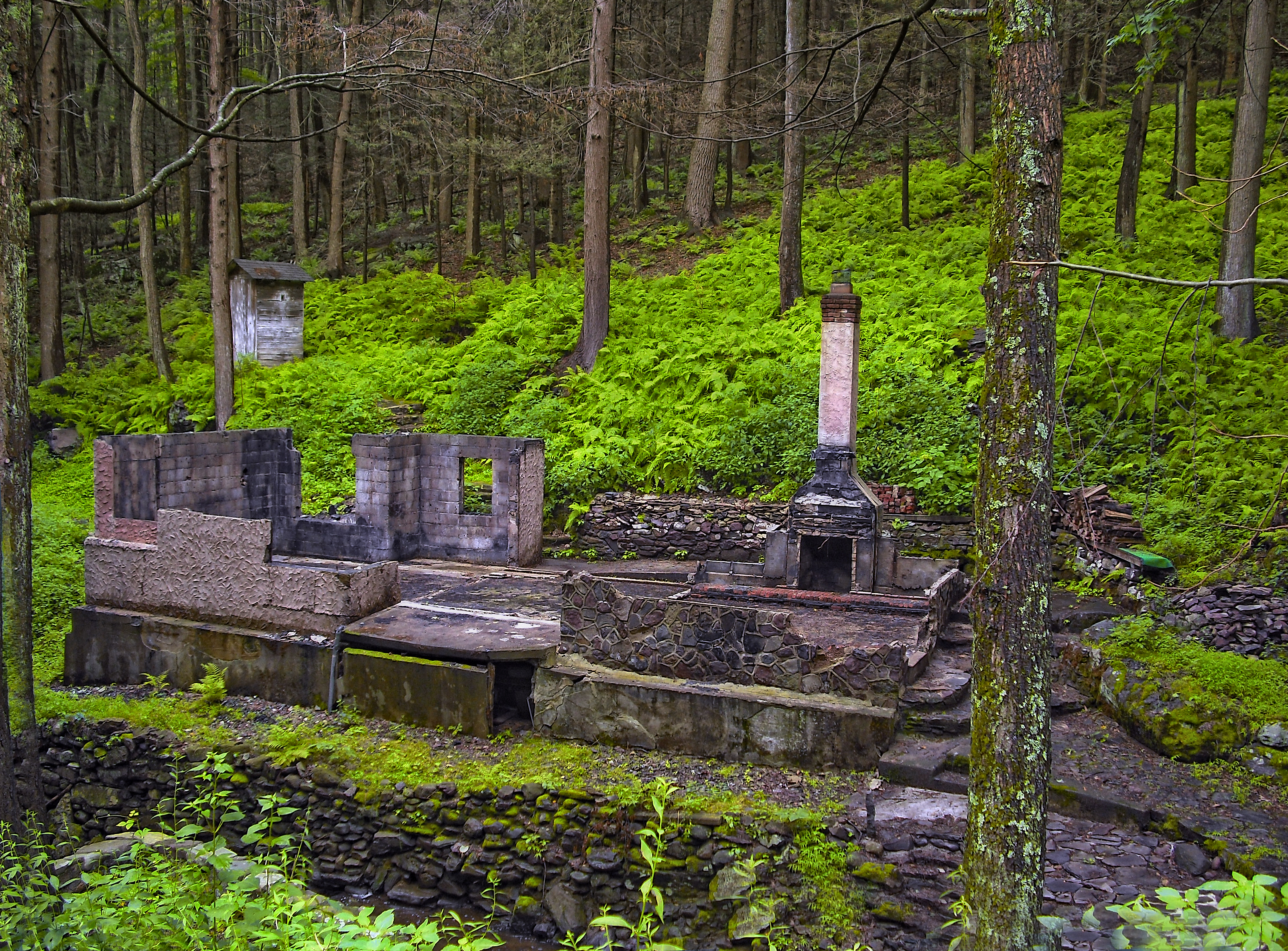
image_caption = Roadside abandonment offPennsylvania Route 191 in Stroud Township
flag_size =
symbol =
symbol_size =
country = United States
state = Pennsylvania
region = Monroe
region_type = County
district =
area_imperial = 31.5
area_land_imperial = 31.2
area_water_imperial = 0.3
area_water_percentage = auto
area_percentage_round = 2
area_round = 1
location =
lat_d = 40
lat_m = 58
lat_s = 00
lat_NS = N
long_d = 75
long_m = 07
long_s = 28
long_EW = W
elevation_imperial = 843
elevation_round = 1
population_as_of = 2000
population = 13978
population_density_imperial = 448.2
population_density_round = 1
established_type =
established =
mayor =
timezone = EST
utc_offset = -5
timezone_DST = EDT
utc_offset_DST = -4
postal_code =
postal_code_type =
area_code = 570
area_code_type =
code2_type =
code2 =
free_type =
free =
free1_type =
free1 =
map_caption = Location of Stroud Township in Monroe County
map1 = Pennsylvania Locator Map.png
map1_locator = Pennsylvania
map2 = Map of USA PA.svg
map2_caption = Location of Pennsylvania in the United States
website = http://www.township.stroud.pa.usStroud Township is a township in Monroe County,
Pennsylvania ,United States . The population was 13,978 at the 2000 census.Geography
According to the
United States Census Bureau , the township has a total area of 31.5square mile s (81.5km² ), of which, 31.2 square miles (80.8 km²) of it is land and 0.3 square miles (0.7 km²) of it (0.86%) is water.Demographics
As of the
census GR|2 of 2000, there were 13,978 people, 5,174 households, and 3,880 families residing in the township. Thepopulation density was 448.2 people per square mile (173.0/km²). There were 5,935 housing units at an average density of 190.3/sq mi (73.5/km²). The racial makeup of the township was 86.33% White, 6.87% African American, 0.19% Native American, 1.66% Asian, 0.01% Pacific Islander, 2.90% from other races, and 2.05% from two or more races. Hispanic or Latino of any race were 7.36% of the population.There were 5,174 households out of which 34.1% had children under the age of 18 living with them, 62.7% were married couples living together, 8.1% had a female householder with no husband present, and 25.0% were non-families. 19.8% of all households were made up of individuals and 8.5% had someone living alone who was 65 years of age or older. The average household size was 2.69 and the average family size was 3.10.
In the township the population was spread out with 25.8% under the age of 18, 6.3% from 18 to 24, 27.4% from 25 to 44, 26.4% from 45 to 64, and 14.2% who were 65 years of age or older. The median age was 39 years. For every 100 females there were 97.1 males. For every 100 females age 18 and over, there were 93.2 males.
The median income for a household in the township was $53,428, and the median income for a family was $61,349. Males had a median income of $44,621 versus $27,065 for females. The
per capita income for the township was $23,460. About 5.9% of families and 7.1% of the population were below thepoverty line , including 8.0% of those under age 18 and 5.1% of those age 65 or over.Notable natives
*
John Summerfield Staples (1845-1888), "Substitute" soldier for President Abraham Lincoln in the Union Army during the American Civil War.References
External links
* [http://www.township.stroud.pa.us/ Stroud Township]
Wikimedia Foundation. 2010.