- Mount Pelion East
-
Mount Pelion East 
Mount Pelion EastElevation 1,461 m (4,793 ft) [1] Prominence 335 m (1,099 ft)
(col:Pelion Gap)Parent peak Mount Ossa Listing Highest Mountains of Tasmania Location Location Cradle Mountain-Lake St Clair National Park, Tasmania, Australia Coordinates 41°51′26.061″S 146°4′3.659″E / 41.85723917°S 146.06768306°ECoordinates: 41°51′26.061″S 146°4′3.659″E / 41.85723917°S 146.06768306°E Climbing Easiest route Direct ascent from Pelion Gap Mount Pelion East is in the Cradle Mountain-Lake St Clair National Park in Tasmania, Australia. It is the sixteenth highest mountain in Tasmania at 1461 metres, slightly higher than the better known Frenchmans Cap at 1446 metres. Unlike Mount Pelion West, Pelion East is not a massive mountain, more pinnacle-like, the spire shape having been caused by harsh glacial erosion many thousands of years ago.
Contents
Mountain Facts
The mountain summit is at grid reference 225655 UTM Zone 55S and high resolution topographical information is available on Tasmap Cathedral 1:25000. To the west is Mount Pelion West, due north is Lake Ayr, due east is Curate Bluff in the Cathedral Mountain range , and due south is Mount Massif. The mountain is made up of dolerite and the lower slopes are covered in low scrub, including scoparia. This mountain is approximately midway between Pelion Hut and Kia Ora Hut on the Overland Track which passes within a kilometre of the summit.
Access
Access to Cathedral mountain is mainly via the Overland Track from Cradle Mountain during the main walking season (November to April) when a booking and fee system applies and walking the track is restricted to limited numbers and also to north-south traffic only. In the off-season walking is also allowed from the Lake St Clair (southern end). Another access route is the combined Arm River and Innes Tracks which passes Lake Ayr and joins the Overland Track at Pelion Plains. A wider overview of the area and access points is available on the Tasmap Cradle Mountain-Lake St Clair Map & Notes publication.
Ascending
This mountain can be climbed from the Overland Track which passes by very closely at Pelion Gap (elevation 1126 metres).
Gallery
-

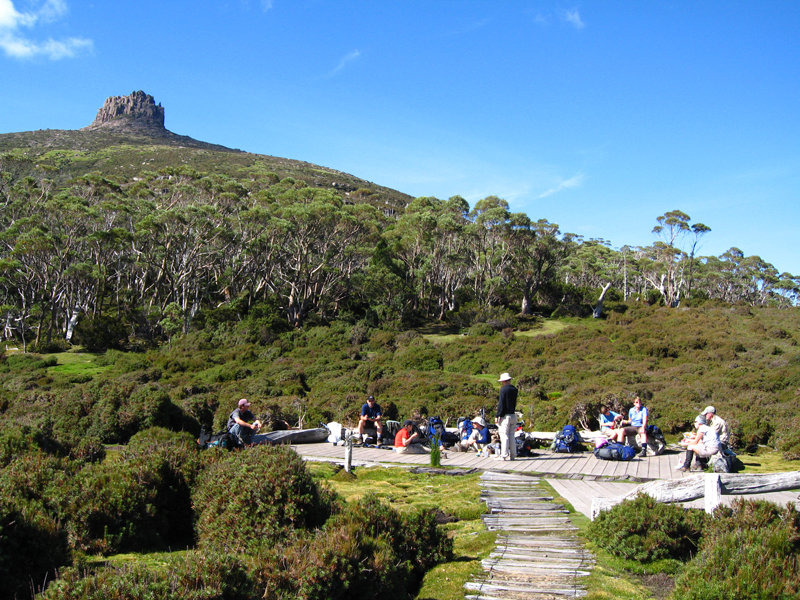
Pelion Gap and Mount Pelion East
-

Pelion East from the lower slopes
-

Mount Pelion East left, Cathedral Mountain centre and Mount Ossa right, as seen from Mount Pelion West
-

Mount Pelion East from high on Mount Ossa
-

Mount Doris in the foreground and Mount Pelion East behind - from the lower slopes of Mount Ossa
-

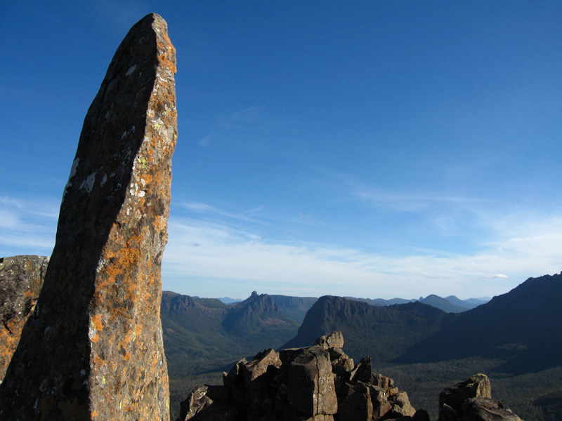
Summit
-

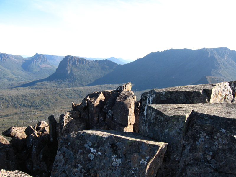
Mount Massif on the left and Mount Ossa on the right as seen from the summit of Mount Pelion East
See also
References
- ^ "LISTmap (Mount Pelion East)". Tasmanian Government Department of Primary Industries and Water. http://www.thelist.tas.gov.au/listmap/listmap.jsp?llx=422000&lly=5365200&urx=424000&ury=5366000&layers=17. Retrieved 2008-02-29.
Categories:- Mountains of Tasmania
- Central Highlands (Tasmania)
-


Wikimedia Foundation. 2010.