- Montaure
-
Montaure

 MontaureLocation within Upper Normandy region
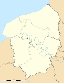 Montaure
Administration Country France Region Upper Normandy Department Eure Arrondissement Les Andelys Canton Pont-de-l'Arche Intercommunality Seine-Bord Mayor Jacky Fleith
(2008–2014)Statistics Elevation 65–159 m (213–522 ft)
(avg. 141 m/463 ft)Land area1 10.16 km2 (3.92 sq mi) Population2 996 (2008) - Density 98 /km2 (250 /sq mi) INSEE/Postal code 27412/ 27400 1 French Land Register data, which excludes lakes, ponds, glaciers > 1 km² (0.386 sq mi or 247 acres) and river estuaries. 2 Population without double counting: residents of multiple communes (e.g., students and military personnel) only counted once. Coordinates: 49°14′10″N 1°05′16″E / 49.2361111111°N 1.08777777778°E
Montaure is a commune in the Eure department in Haute-Normandie in northern France.
Population
Historical population of Montaure 1793 1800 1806 1821 1831 1836 1841 1846 1851 1856 1018 1035 1105 1275 1098 1081 1097 1120 1154 1160 1861 1866 1872 1876 1881 1886 1891 1896 1901 1906 1164 1203 1218 1230 1136 1137 963 812 737 642 1911 1921 1926 1931 1936 1946 1954 1962 1968 1975 589 617 665 628 586 648 717 698 677 656 1982 1990 1999 2008 777 990 1073 996 See also
References
Categories:- Communes of Eure
- Eure geography stubs


Wikimedia Foundation. 2010.