- Straban Township, Pennsylvania
Infobox Settlement
official_name = pagename
settlement_type = Township
nickname =
motto =
imagesize =
image_caption =
image_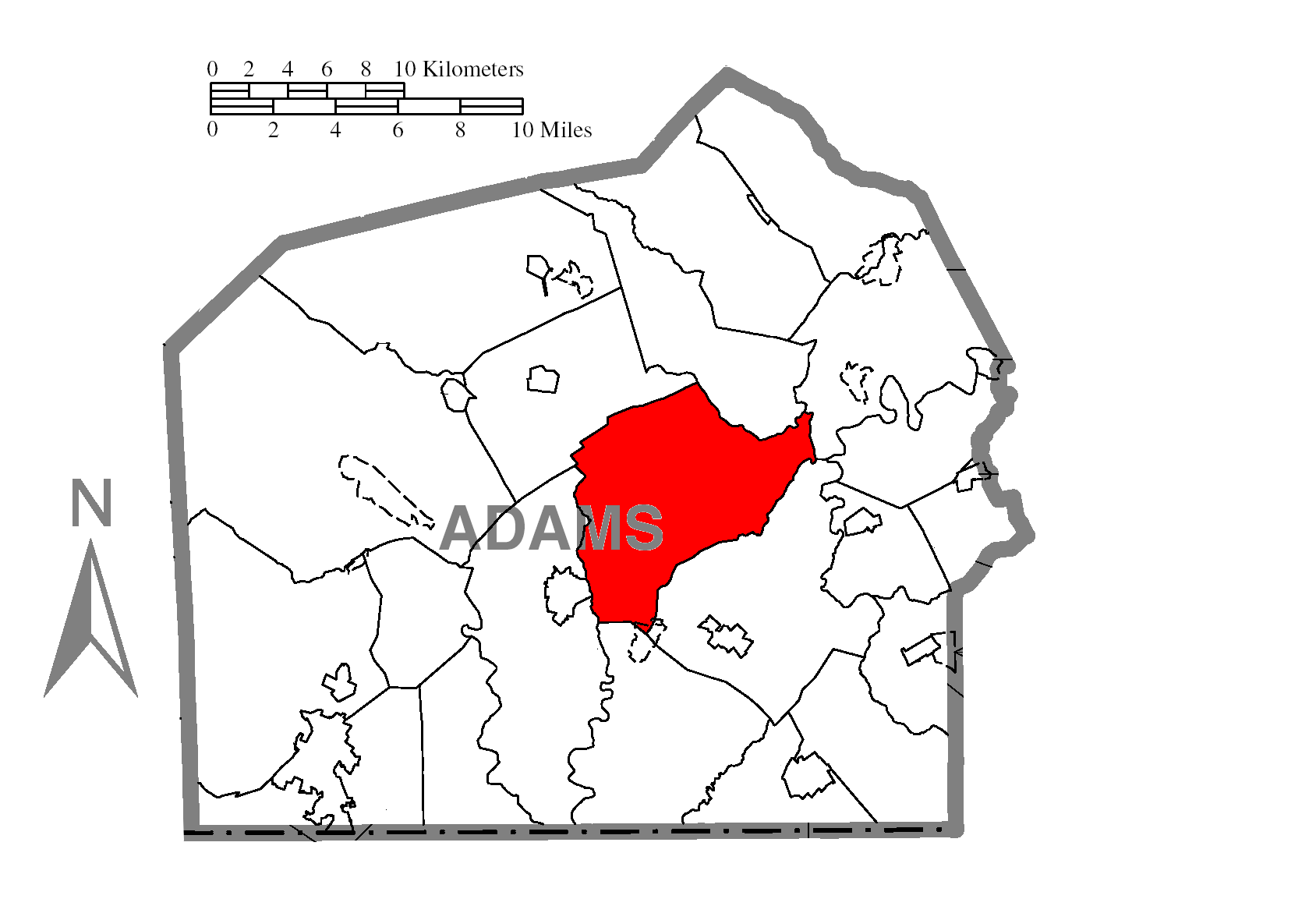
mapsize = 250px
map_caption = Map of Adams County, Pennsylvania highlighting Straban Township
mapsize1 = 250px
map_caption1 = Map of Adams County, Pennsylvania
subdivision_type = Country
subdivision_name =United States
subdivision_type1 = State
subdivision_name1 =Pennsylvania
subdivision_type2 = County
subdivision_name2 = Adams
government_footnotes =
government_type =
leader_title =
leader_name =
leader_title1 =
leader_name1 =
leader_title2 =
leader_name2 =
established_title = Settled
established_date = 1741
established_title1 = Incorporated
established_date1 = 1746
unit_pref = Imperial
area_footnotes =
area_magnitude =
area_total_km2 =
area_land_km2 =
area_water_km2 =
area_total_sq_mi = 34.4
area_land_sq_mi =
area_water_sq_mi =
population_as_of = 2000
population_footnotes =
population_total = 4539
population_density_km2 =
population_density_sq_mi = 131.9
timezone = Eastern (EST)
utc_offset = -5
timezone_DST = EDT
utc_offset_DST = -4
postal_code_type =
postal_code =
area_code = 717
website =
footnotes =Straban Township is a township in Adams County,
Pennsylvania ,United States . The population was 4,539 at the 2000 census.History
Founding
Straban Township was created in 1746 when this area was still part of Lancaster County. Named for
Strabane , a town inNorthern Ireland , this spelling was in use as late as the 1870's. For the most part the original boundaries remain unchanged to this day. York County was formed out of Lancaster County in 1749, and for the next 51 years Straban Township was a part of York County, until Adams County was formed in 1800.Casino proposal
During 2006 there was debate about the proposed construction of a casino in Straban Township near the intersection of
U.S. Route 15 andU.S. Route 30 , not far from theEast Cavalry Field battle site. Legislation enacted in 2005 known as "Act 71" permitted up to 60,000 slot machines to be located in casinos throughout the state in an effort to offset high property taxes. One of two available casino licenses was pursued by Chance Enterprises Inc. andMillennium Management Group for their proposed "Crossroads Gaming Resort & Spa". Many of the residents of Gettysburg (the closest incoprorated city/town/borough) and tourists believed that a casino near Gettysburg and the resulting increase in traffic would have had a negative impact on Gettysburg's hallowed ground. A group called "No Casino Gettysburg," made up of local citizens as well as students and faculty ofGettysburg College , was formed to lobby against the proposal. OnApril 3 ,2006 , the Gettysburg borough council voted by 6–3 to support the proposal. [cite news |first=Meg |last=Bernhardt |authorlink= |coauthors= |title=Gettysburg to support casino |url=http://www.eveningsun.com/fastsearchresults/ci_3671429 |work= |publisher="The Evening Sun" |date=April 4 ,2006 |accessdate=2006-04-04]The
Pennsylvania Gaming Control Board (PGCB) began hearings on the proposal onApril 5 ,2006 , at Gettysburg College. A second hearing was held onApril 7 ,2006 in Harrisburg and a third and final hearing occurred onMay 17 ,2006 at Gettysburg College. [http://www.gettysburgtimes.com/headlines/news/051806/front1.htm] OnAugust 23 ,2006 , the board announced that it intended to reach a final decision on the casino proposal byDecember 20 ,2006 . [http://www.mcall.com/news/local/all-a1_5slotsaug24,0,7251517.story] On that date, the PGCB opted not to award Crossroads a casino license, effectively killing the proposal. Crossroads' president soon announced that he will not appeal the decision ("Gettysburg Times", December 22, 2006). In February 2007, the activist group, No Casino Gettysburg, disbanded.Geography
According to the
United States Census Bureau , the township has a total area of 34.4square mile s (89.2km² ), of which, 34.4 square miles (89.1 km²) of it is land and 0.04 square miles (0.1 km²) of it (0.12%) is water.Demographics
As of the
census GR|2 of 2000, there were 4,539 people, 1,687 households, and 1,233 families residing in the township. Thepopulation density was 131.9 people per square mile (50.9/km²). There were 1,816 housing units at an average density of 52.8/sq mi (20.4/km²). The racial makeup of the township was 95.86% White, 1.43% African American, 0.18% Native American, 0.73% Asian, 0.90% from other races, and 0.90% from two or more races. Hispanic or Latino of any race were 2.29% of the population.There were 1,687 households out of which 30.8% had children under the age of 18 living with them, 61.3% were married couples living together, 7.8% had a female householder with no husband present, and 26.9% were non-families. 21.9% of all households were made up of individuals and 11.0% had someone living alone who was 65 years of age or older. The average household size was 2.55 and the average family size was 2.97.
In the township the population was spread out with 22.2% under the age of 18, 6.8% from 18 to 24, 25.4% from 25 to 44, 25.7% from 45 to 64, and 19.9% who were 65 years of age or older. The median age was 42 years. For every 100 females there were 92.7 males. For every 100 females age 18 and over, there were 89.4 males.
The median income for a household in the township was $44,008, and the median income for a family was $51,979. Males had a median income of $30,231 versus $22,336 for females. The
per capita income for the township was $19,530. About 4.5% of families and 5.4% of the population were below thepoverty line , including 3.6% of those under age 18 and 3.5% of those age 65 or over.References
External links
* [http://www.strabantownship.com/ Official Site]

Wikimedia Foundation. 2010.