- Staré Město (Šumperk District)
Geobox | Settlement
name = Staré Město
other_name =
category = Town

image_caption = Town square during winter
symbol =
etymology =
official_name =
motto =
nickname =
country = Czech Republic
country_
state =
region = Olomouc
region_type = Region
district = Šumperk
district_type = District
commune = Šumperk
municipality = Hanušovice
part =
river =
location =
elevation = 538
lat_d = 50
lat_m = 10
lat_s = 14
lat_NS = N
long_d = 16
long_m = 57
long_s = 18
long_EW = E
highest =
highest_elevation =
highest_lat_d =
highest_long_d =
lowest =
lowest_elevation =
lowest_lat_d =
lowest_long_d =
area = 86.3
area_round = 1
population = 2074
population_date = 2006-07-03
population_density = auto
established = 13th century
established_type = Founded
mayor = Jaroslav Macek
timezone = CET
utc_offset = +1
timezone_DST = CEST
utc_offset_DST = +2
postal_code = 788 32
area_code =
code =
free =
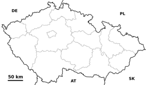
map_background = Czechia - background map.png
map_locator = Czechia
commons = Staré Město (Šumperk District)
statistics = [http://www.statnisprava.cz/ebe/ciselniky.nsf/i/541079 statnisprava.cz]
website = [http://www.mu-staremesto.cz/ www.mu-staremesto.cz]
footnotes =Staré Město ( _de. Mährisch Altstadt) is a town in the
Czech Republic .External links
* [http://www.mu-staremesto.cz/ Official website]


Wikimedia Foundation. 2010.