- Magley, Indiana
-
Magley — Town — 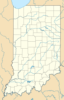
 Magley
Coordinates: 40°49′53″N 85°03′12″W / 40.83139°N 85.05333°WCoordinates: 40°49′53″N 85°03′12″W / 40.83139°N 85.05333°W Country United States State Indiana County Adams Township Preble Elevation 833 ft (254 m) ZIP code 46733 FIPS code 18-46152[1] GNIS feature ID 438474[2] Magley is an unincorporated town in Preble Township, Adams County, Indiana. Magley was founded in 1883 by Jakob J. Magley, a farmer and postmaster for Adams County, IN.
Geography
Magley is located at 40°49′53″N 85°03′12″W / 40.83139°N 85.05333°W.
References
- ^ "American FactFinder". United States Census Bureau. http://factfinder.census.gov. Retrieved 2008-01-31.
- ^ "Magley, Indiana". Geographic Names Information System, U.S. Geological Survey. http://geonames.usgs.gov/pls/gnispublic/f?p=gnispq:3:::NO::P3_FID:438474. Retrieved 2009-10-17.
Municipalities and communities of Adams County, Indiana Cities 
Towns Townships Unincorporated
communitiesCeylon | Coppess Corner | Curryville | Elm Tree Crossroads | Honduras | Linn Grove | Magley | Monmouth | Perryville | Peterson | Pleasant Mills | Preble | Rivare | Salem | Williams
Categories:- Populated places in Adams County, Indiana
- Unincorporated communities in Indiana
- Populated places established in 1883
- Northern Indiana geography stubs

Wikimedia Foundation. 2010.