- Point Nepean, Victoria
Infobox Australian Place | type = suburb
name = Point Nepean
city = Melbourne
state = vic
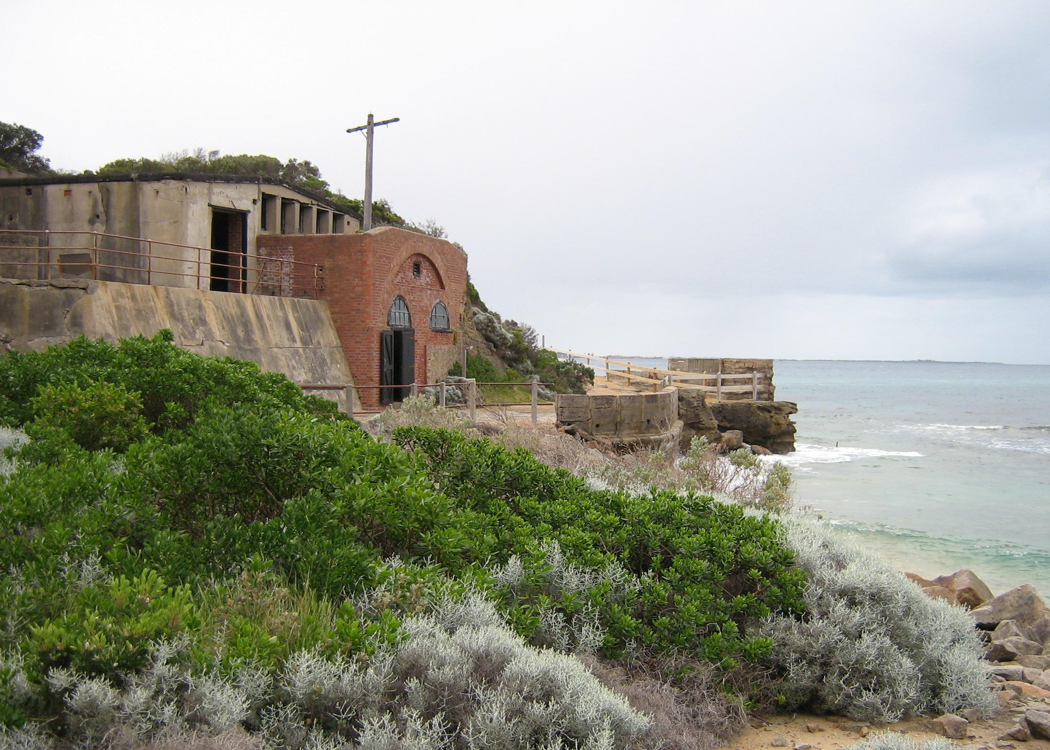
caption = Point Nepean
lga = Shire of Mornington Peninsula
postcode = 3944
pop =
area =
est =
propval =
stategov = Nepean
fedgov = Flinders
dist1 = 100
location1=Melbourne
dist2 = 24
location2= Rosebud
near-nw =
near-n = "Port Phillip "
near-ne =
near-w =
near-e =
near-sw = "Bass Strait "
near-s =
near-se = PortseaPoint Nepean marks the southern entrance to
Port Phillip Bay, Victoria,Australia . It was named after the British politician and colonial administrator, SirEvan Nepean . Its Local Government Area is theShire of Mornington Peninsula . Its coast and adjacent waters are included in thePort Phillip Heads Marine National Park , while its land area is part of thePoint Nepean National Park .History
Point Nepean was the location of the first Australian shots fired in both
World War I (at the German ship "Pfalz") andWorld War II . It is also the location of Cheviot Beach, where the "SS Cheviot " was wrecked in 1887 and thenPrime Minister of Australia ,Harold Holt , disappeared on17 December 1967 , believed drowned.Point Nepean is also the location of a Quarantine Station (established 1852) it is the second oldest intact quarantine station in Australia. It contains the oldest buildings erected for quarantine purposes in Australia, four of the main hospital buildings (established in 1857), pre-dating the oldest intact quarantine-related structures at North Head, Sydney, by sixteen years. Point Nepean Post Office opened on 1 April 1859 but was closed by 1865. Citation
last = Premier Postal History | title = Post Office List | url = https://www.premierpostal.com/cgi-bin/wsProd.sh/Viewpocdwrapper.p?SortBy=VIC&country= | accessdate = 2008-04-11 ]
Environment
The coast of Point Nepean contains intertidal reef platforms with high invertebrate diversity as well as subtidal reefs with diverse communities of fish, invertebrates and encrusting organisms such as
ascidian s,sponge s andbryozoan s.References
* Parks Victoria. (2006). Port Phillip Heads Marine National Park Management Plan. Parks Victoria: Melbourne. ISBN 0-7311-8349-5
External links
* [http://www.parkweb.vic.gov.au/1park_display.cfm?park=281 Point Nepean National Park] Parks Victoria
Wikimedia Foundation. 2010.