- Doun Kaev District
-
Doun Kaev
ស្រុកដូនកែវ— District (srok) —  Location in Cambodia
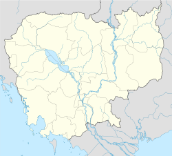
 Doun Kaev
Coordinates: 11°10′N 105°40′E / 11.167°N 105.667°ECoordinates: 11°10′N 105°40′E / 11.167°N 105.667°E Country  Cambodia
Province Takéo Communes 6 Villages 34 Time zone +7 Geocode 2108 Doun Kaev District is a district located in Takéo Province, in southern Cambodia. According to the 1998 census of Cambodia, it had a population of 39,186.[1]
References
- ^ "General Population Census of Cambodia 1998, Final Census Results". National Institute of Statistics, Ministry of Planning, Cambodia. August, 2002. http://www.nis.gov.kh/nis/uploadFile/pdf/CensusResult98.pdf. Retrieved 2010-11-25. See page 269.
 Takéo Province
Capital city 
Districts Angkor Borei • Bathi • Bourei Cholsar • Kiri Vong • Kaoh Andaet • Prey Kabbas • Samraŏng • Doun Kaev • Tram Kak • TreangCategories:- Districts of Cambodia
- Takéo Province
- Cambodia geography stubs


Wikimedia Foundation. 2010.