- Shire of Coorow
Infobox Australian Place | type = lga
name =Shire of Coorow
state =wa
region =Mid West
area =4193.9
est =1962
seat =Coorow
pop =1,199 (2006 census)
imagesize = 180
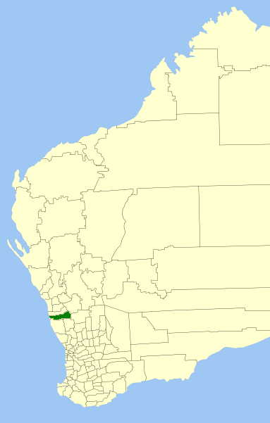
caption = Location inWestern Australia
logo =
logosize =
url =http://www.coorow.wa.gov.au
mayor =Moira Girando
fedgov =O'Connor
stategov =Moore
near-nw =
near-n =Carnamah
near-ne =Perenjori
near-w ="Indian Ocean "
near-e =Dalwallinu
near-sw =Dandaragan
near-s =Moora
near-se =DalwallinuThe Shire of Coorow is a Local Government Area located in the Mid West region of
Western Australia , about convert|290|km|mi|0 north of Perth, the state capital, and about convert|130|km|mi|0 south of the city of Geraldton. The Shire covers an area of convert|4194|km2|sqmi|0 and its seat of government is the town of Coorow.History
Historically, the area was managed by the Carnamah Road Board. On 19 April 1962, the Shire of Coorow was gazetted. [WA Electoral Commission, "Municipality Boundary Amendments Register" (release 2.0), 31 May 2003.]
Wards
The Shire has no wards and 8 councillors. Wards were abolished in 2003.
Towns
* Coorow
* Green Head
* Leeman
* Marchagee
* Waddy Forest
* WarradargeReferences
External links
* [http://www.coorow.wa.gov.au/ Shire of Coorow]
* [http://www.rootsweb.com/~auschs/cw1.html The Coorow-Waddy Database - past residents of the Shire of Coorow]
Wikimedia Foundation. 2010.