- Decommissioned highway
-
A decommissioned highway is a highway that has been removed from service, shut down or has had its authorization as a federal or state highway removed. Decommissioning can include the complete or partial demolition or abandonment of an old highway structure because the old roadway has lost its utility, but such is not always the norm. Where the old highway has continuing value, it likely remains as a local road offering access to properties denied access to the new road or for use by slow vehicles such as farm equipment and horse-drawn vehicles denied use of the newer highway.
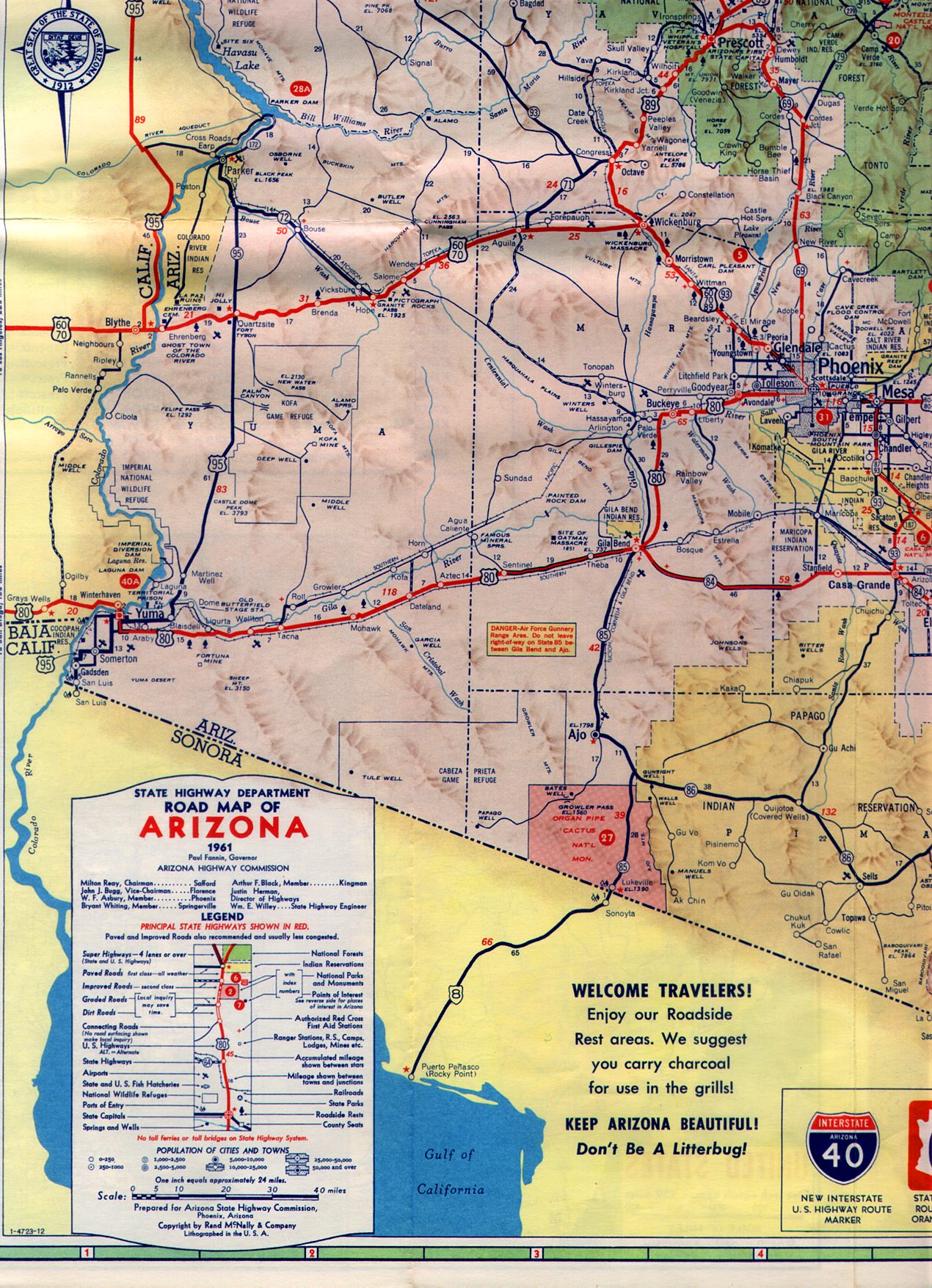
Decommissioning can also include the removal of one or more of the multiple designations of a single segment of highway. As an example, what remains as U.S. Route 60 between Wickenberg, Arizona and Phoenix, Arizona carried the routes of three US highways (U.S. Route 60, U.S. Route 70, U.S. Route 89) and one state highway (Arizona State Route 93).[1] The highway remains a federal highway, but with fewer designations.
Contents
In the United States
 Pennsylvania Route 611 used to be known as U.S. Route 611, but was downgraded to a state route as it was entirely in Pennsylvania. This is an old US 611 sign that remained on Easton Road in Willow Grove. The shield, seen here in 2008, is now missing from the sign.
Decommissioned highways are common in the United States of America, as the states build freeways as a new classification of highways, the state may strip the old highway of its old designation as a numbered highway or downgrade it to a 'lesser' status. For example, U.S. Route 66, which connected Chicago and Los Angeles from 1926 until 1972, lost its designation as a U.S. Highway in favor of faster, more direct Interstate highways, which had supplanted it. Some state highways may be partly decommissioned, such as M-21 in Michigan, or wholly decommissioned in favor of newer Interstate routes, as was the case with Texas State Highway 9.[2]
Some state routes built on freeway alignments may be upgraded to Interstate Highway standards (or already built to Interstate standards) and receive Interstate designation, such as the case with Pennsylvania Route 60.[3] On the other hand, some routes are devolved to lower authorities, as with U.S. 61 in Minnesota, which became Minnesota 61 from Duluth to the Canadian border. At times a state can abandon a number as the reason for state maintenance of the entire route no longer exists; Arizona devolved the short Arizona State Highway 62 to Mohave County government after a mine in Chloride closed and so did the economic purpose of the town. At the extreme a decommissioned route may be demolished, as was done with California State Highway 480. Once part of the Interstate Highway System, it required retrofitting to remain in service after the Loma Prieta earthquake of 1989 to remain in use, instead the highway was demolished.[4]
Even as superhighways supplant older surface routes as through routes, some historical highways get attention from those with antiquarian (and commercial) interests in the continued recognition of such routes. Route 66 in the midwestern and southwestern United States is a prime example of such efforts; "Historic Route US 66" markers, completely unofficial, designate most of the old surface road, some of which has literary significance (as in John Steinbeck's novel The Grapes of Wrath).
Canada
Many of Quebec's Autoroutes supplant old through routes.
In 1997 and 1998, the province of Ontario undertook a major highway decommissioning project, dropping over 5,000 kilometres (3,100 mi) of road from the provincially maintained highway system. Most of the former highways are now numbered as county roads. See also List of former provincial highways in Ontario.
Europe
In Germany,[citation needed] many Autobahns supplant an older through route, as in Bundesstraße 60 (best translated as Federal Highway 60), which disappeared as the A40 Autobahn supplanted it.
In the Republic of Ireland, National Primary Routes are often realigned after the construction of new motorway sections, dual carriageways or bypasses. The old route thus loses its national route status and is usually redesignated as a Regional Road.
References
- ^ http://arizonaroads.com/maps/1961-3.jpg
- ^ Texas Department of Transportation. "Highway Designation File - State Highway No. 9". http://www.dot.state.tx.us/tpp/hwy/SH/SH0009.htm.
- ^ "Some local roads to get I-376 designation". Pittsburgh Business Times. October 17, 2005. http://pittsburgh.bizjournals.com/pittsburgh/stories/2005/10/17/daily4.html?jst=b_ln_hl. Retrieved April 14, 2010.
- ^ http://www.kurumi.com/roads/3di/i480.html#480ca
- Harris, Nancy (1992-08-16). "Route 66 winds its way through America's history". The Kansas City Star. http://nl.newsbank.com/nl-search/we/Archives?p_product=KC&p_theme=kc&p_action=search&p_maxdocs=200&p_topdoc=1&p_text_direct-0=0EAF3E08A938DE6C&p_field_direct-0=document_id&p_perpage=10&p_sort=YMD_date:D&s_trackval=GooglePM. Retrieved 2007-10-21.
- Martinez, Michael (2006-02-18). "Route 66 still a `classic American trek'". The Chicago Tribune. http://www.highbeam.com/doc/1G1-142270379.html. Retrieved 2007-10-21.
- Cobb, Nathan (2001-03-10). "Homage to the Mother Road". The Boston Globe. http://nl.newsbank.com/nl-search/we/Archives?p_product=BG&p_theme=bg&p_action=search&p_maxdocs=200&p_topdoc=1&p_text_direct-0=0EBB69719A0CA01A&p_field_direct-0=document_id&p_perpage=10&p_sort=YMD_date:D&s_trackval=GooglePM. Retrieved 2007-10-21.
Categories:- Former numbered highways
- Road infrastructure
- Road transport
- Types of roads

Wikimedia Foundation. 2010.