- Ohio State Route 708
-
State Route 708
Route information Maintained by ODOT Length: 2.32 mi[1] (3.73 km) Existed: 1937 – present Major junctions South end:  OH 235 near Russells Point
 US 33 in Russells Point
North end: Indian Lake State Park near Russells Point Location Counties: Logan Highway system Ohio highways
Interstates • U.S. Routes • State Routes←  SR 707
SR 709  →
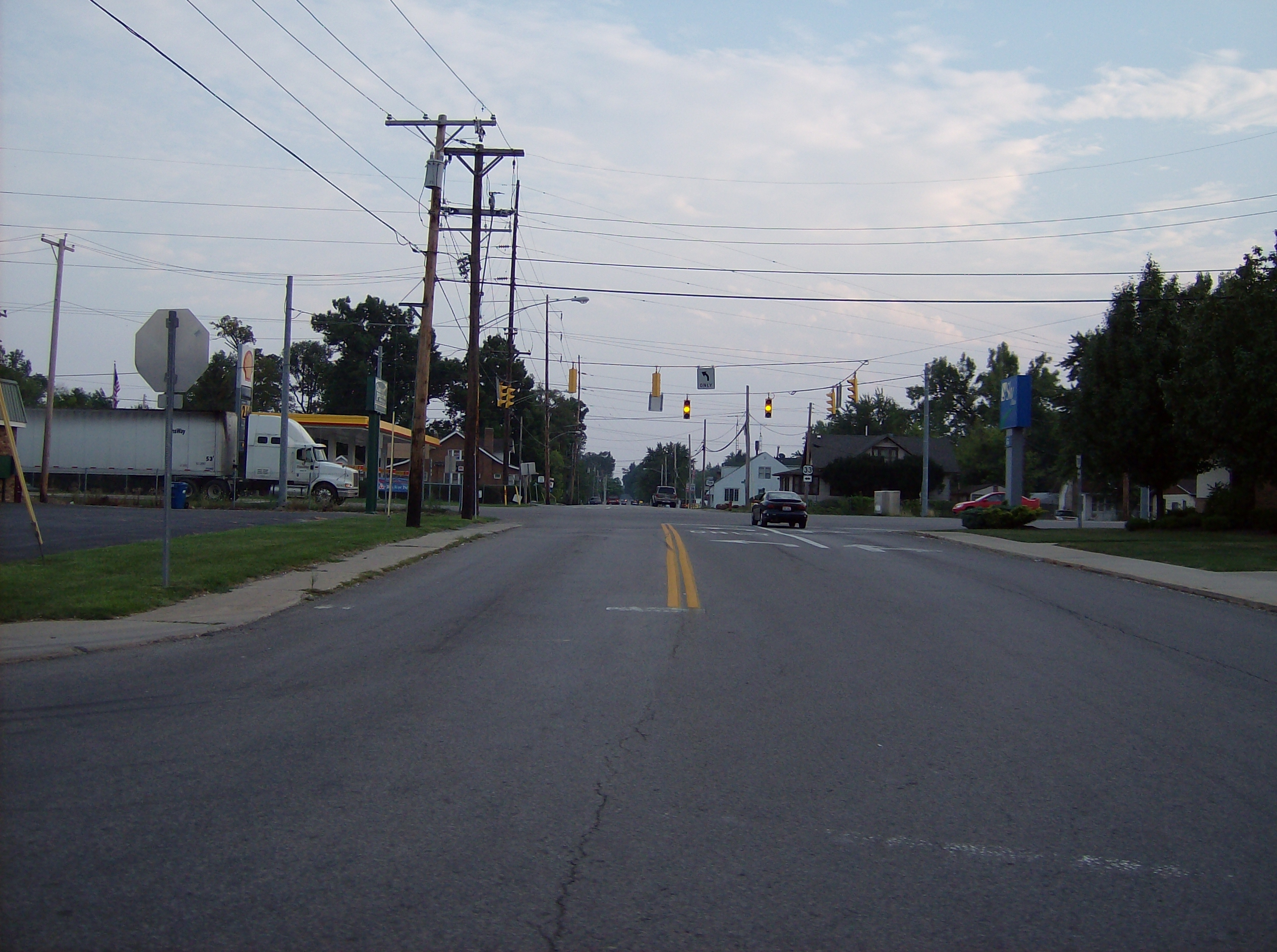
→ OH 708 in downtown Russells Point.
Ohio State Route 708 (OH 708) is a short two-lane north–south state route that runs exclusively within Logan County, Ohio. The southern terminus of OH 708 approximately 2 miles (3.2 km) south of Russells Point at OH 235, near the Russells Point Honda manufacturing facility, and its northern terminus is just north of Russells Point at Indian Lake State Park, where the highway becomes Township Road 253.
Contents
Route description
OH 708 begins at its junction with OH 235 in Washington Township, at the northwestern corner of the Russells Point Honda manufacturing plant. OH 708 heads east from that intersection, brushing the northern portion of the production facility's property, then following a sweeping curve to the northeast, amidst which the highway intersects Roughton Road. Now traveling in a northerly direction, the highway meets World Class Drive, which forms the northerly leg of the intersection between OH 235 and OH 708, and virtually acts as a loop that comes back around to meet OH 708. North of there, OH 708 curves to the northeast, and enters into Russells Point. Known as Orchard Island Road through the village, OH 708 passes by a number of side streets before entering into the main business district of Russells Point. There, OH 708 arrives at a signalized intersection with US 33, followed just one block later by its junction with OH 366. Northeast of OH 366, OH 708 makes its way out onto Orchard Island in Indian Lake. The route turns easterly briefly, then takes a sweeping curve to the northeast that brings the route to a bridge over a connector waterway within Indian Lake, where OH 708 departs Russells Point and enters onto Orchard Island. About a block later, OH 708 arrives at its northern terminus at Indian Lake State Park, where the route transitions into Township Road 253, which continues further onto the cottage-filled island that serves as part of the state park.[2]
History
OH 708 was first designated in 1937 along the routing that it currently occupies. No significant changes have taken place to the routing of OH 708 itself; just in the routes that intersect OH 708. The route that OH 708 meets at its southern terminus was first designated OH 69; eventually, it was renumbered OH 235. Also, the route that OH 708 intersects in Russells Point was first given the designation of OH 32. Later, it would be replaced by US 33, and when US 33 was re-aligned further south, the former alignment became an extension of OH 366.[3][4]
Major intersections
County Location Mile[1] Destinations Notes Logan Washington Township 0.00 OH 235Southern terminus. Russells Point 1.64 US 33Signalized intersection. 1.69  OH 366
Washington Township 2.32 Indian Lake State Park Northern terminus. Continues as Township Road 253. 1.000 mi = 1.609 km; 1.000 km = 0.621 mi References
- ^ a b Ohio Department of Transportation. "Technical Services Straight Line Diagrams". http://www2.dot.state.oh.us/techservsite/availpro/Road_%20Infor/SLD/default.htm. Retrieved 2009-01-30.
- ^ Yahoo! Inc. Yahoo! Maps – overview map of OH 708 (Map). Cartography by NAVTEQ. http://maps.yahoo.com/#mvt=m&lat=40.464121&lon=-83.890116&zoom=14&q1=40.450415%2C-83.903666&q2=40.476013%2C-83.885245. Retrieved 2009-01-30.
- ^ Ohio Department of Transportation (1936). Ohio State Map (Map).
- ^ Ohio Department of Transportation (1937). Ohio State Map (Map).
External links
Categories:- State highways in Ohio
- Transportation in Logan County, Ohio

Wikimedia Foundation. 2010.