- Oshtorinan
-
For the administrative subdivision, see Oshtorinan District.
Oshtorinan
اشترينان— city — 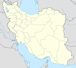
 Oshtorinan
Coordinates: 34°01′00″N 48°38′40″E / 34.0166667°N 48.64444°ECoordinates: 34°01′00″N 48°38′40″E / 34.0166667°N 48.64444°E Country  Iran
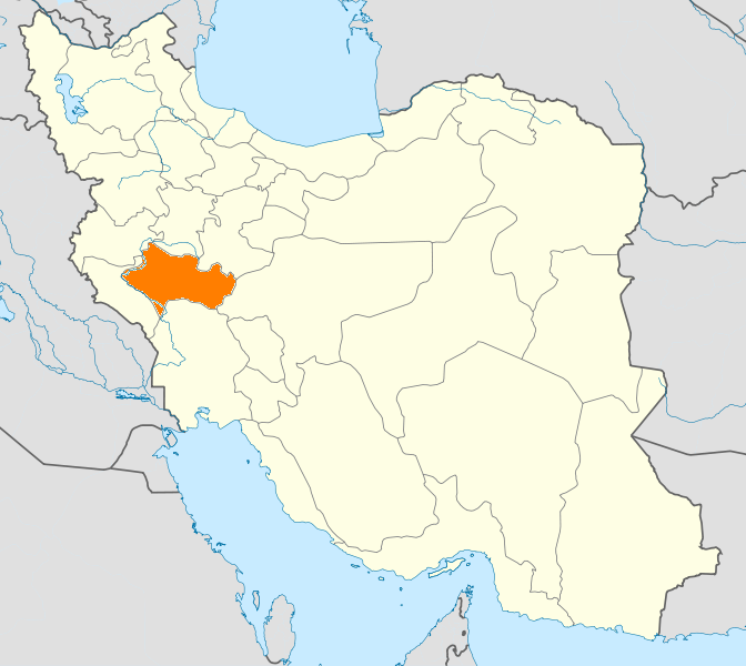
IranProvince Lorestan County Borujerd Bakhsh Oshtorinan Population (2006) – Total 5,264 Time zone IRST (UTC+3:30) – Summer (DST) IRDT (UTC+4:30) Oshtorinan (Persian: اشترينان, oŝtorinān, also Romanized as Oshtorīnān and Oshtornīān)[1] is a city in and capital of Oshtorinan District, in Borujerd County, Lorestan Province, Iran. At the 2006 census, its population was 5,264, in 1,408 families.[2]
Oshtorinan has a cold weather and is an agricultural centre. The population of the town is less than 10000 (2006). Oshtorinan is located between Borujerd, Malayer, and Nahavand in 15 km NW of Borujerd and historically has been used as a caravanserai for traveling from Borujerd to Hamedan, and from Isfahan to Baghdad. In the 20th c. the town was mentioned as Oshtad or Ashtad in local maps which means run or excess.
References
- ^ Oshtorinan can be found at GEOnet Names Server, at this link, by opening the Advanced Search box, entering "-3823564" in the "Unique Feature Id" form, and clicking on "Search Database".
- ^ "Census of the Islamic Republic of Iran, 1385 (2006)" (Excel). Islamic Republic of Iran. http://www.amar.org.ir/DesktopModules/FTPManager/upload/upload2360/newjkh/newjkh/15.xls.
 Lorestan Province
Capital 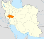
Counties and Cities AligudarzAzna · MomenabadBorujerd · OshtorinanPol-e Dokhtar CountyPol-e Dokhtar · MamulanAleshtar · FiruzabadSights Falak-ol-Aflak Castle · Imamzadeh Ja'far · Soltani Mosque · Jameh Mosque · Women's Park of Borujerd · Yafteh · Nojian waterfall · Sarkaneh waterfalls · Imamzadeh Dou Khaharan · Kashkan bridge · Zardabeh lagoon · Gahhar lagoon · Sheneh castle · Rahmanabad Sasanian palace · Gosheh caravansary ·Categories:- Borujerd County
- Cities in Iran
- Cities in Lorestan Province
- Iran geography stubs

Wikimedia Foundation. 2010.