Charter Oak Bridge

Charter Oak Bridge
Charter Oak Bridge
Official name Charter Oak Bridge
Carries US 5 / Route 15
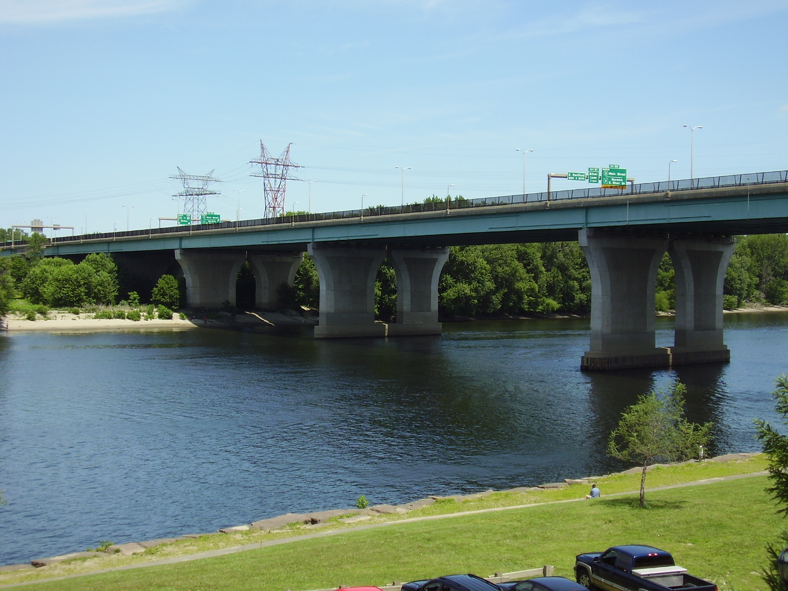
Crosses Connecticut River
Locale Hartford, Connecticut
Maintained by Connecticut Department of Transportation [1]
Design Stringer/multibeam or girder
Total length 3372.0 ft (1027.8 m)
Width 47.9 ft (14.6 m)
Clearance below 69 ft (21 m)
Opened 1991
Coordinates 41°45′11.6″N 72°39′13.53″W / 41.753222°N 72.6537583°W / 41.753222; -72.6537583Coordinates: 41°45′11.6″N 72°39′13.53″W / 41.753222°N 72.6537583°W / 41.753222; -72.6537583
Charter Oak Bridge is located in Connecticut

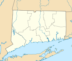
The Charter Oak Bridge is one of the three highway bridges over the Connecticut River in Hartford, Connecticut. The twin steel stringer bridge carries the Route 15 (Wilbur Cross Highway) and U.S. Route 5. The bridge has an average daily traffic of 79,800.[2]

The original Charter Oak Bridge was constructed in 1940s as part of the Wilbur Cross Highway and allowed through traffic to pass south of downtown Hartford. It was a toll bridge. Due to its obsolescence it was replaced by the current bridge, which is free to motorists.

See also

External links


Wikimedia Foundation. 2010.

Игры ⚽ Нужен реферат?

Look at other dictionaries:

  • Charter Oak (disambiguation) — The name Charter Oak refers to several things: The Charter Oak, the oak tree said to have hidden the charter of the Connecticut Colony The Charter Oak Bridge, named for the tree, which carries U.S. Highway 5 and Connecticut State Route 15 over… …   Wikipedia

  • Oak Cliff — is a community in Dallas, Texas, United States that was formerly a separate town located in Dallas County; Dallas annexed Oak Cliff in 1903. It has since retained a distinct neighborhood identity as Dallas older, established neighborhood… …   Wikipedia

  • Founders Bridge — Infobox Bridge bridge name=Founders Bridge caption= official name=Founders Bridge carries=Motor vehicles, pedestrians, and bicycles crosses=Connecticut River, Interstate 91 locale=Hartford, Connecticut maint=Connecticut Department of… …   Wikipedia

  • William H. Putnam Memorial Bridge — Infobox Bridge bridge name=Putnam Bridge caption=Western end of the William H. Putnam Memorial Bridge official name=William H. Putnam Memorial Bridge carries=Route 3 Expressway crosses=Connecticut River locale=Wethersfield and Glastonbury. maint …   Wikipedia

  • John A. Roebling Suspension Bridge — Covington and Cincinnati Suspension Bridge U.S. National Register of Historic Places U.S. National Historic Landmark …   Wikipedia

  • Coraopolis Bridge — The modern bridge. Official name Neville Island Coraopolis Bridge Carries Grand Avenue (Neville Twp)/Pennsylvania Route 51 (Coraopolis) …   Wikipedia

  • London Bridge —    Extends across the River Thames from Adelaide Place and King William Street to High Street, Southwark. Architect, J. Rennie.    Erected 1824 31. Opened by King William IV. in 1831.    It is made of granite, with 5 elliptical arches (Gent. Mag …   Dictionary of London

  • Hartford, Connecticut — Hartford redirects here. For other uses, see Hartford (disambiguation). City of Hartford   City   Skyline of Hartfor …   Wikipedia

  • U.S. Route 5 in Connecticut — This article is about the section of U.S. Route 5 in Connecticut. For the entire length of the highway, see U.S. Route 5. U.S. Route 5 …   Wikipedia

  • Connecticut Route 15 — Route 15 Route information Maintained by …   Wikipedia

Share the article and excerpts

Direct link
Do a right-click on the link above
and select “Copy Link”