Chek Chau

Chek Chau
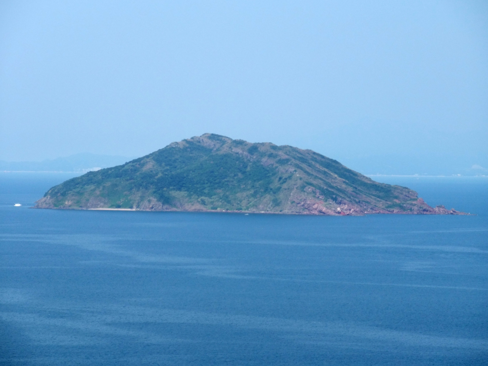
Port Island viewed from Wan Tsai

Port Island (or Chek Chau, Chinese: 赤洲) is an island of Hong Kong, under the administration of Tai Po District. It is located in Tolo Channel, in the northeastern New Territories. Its name literally means red island; after the sedimentary rocks rich in iron that form this island.

Port Island has been designated as a Site of Special Scientific Interest since 1979.[1]

See also

  • Hong Kong National Geopark
  • List of islands and peninsulas of Hong Kong

References

External links

22°29′48.72″N 114°21′7.51″E / 22.4968667°N 114.3520861°E / 22.4968667; 114.3520861


Wikimedia Foundation. 2010.

Игры ⚽ Поможем написать реферат

Look at other dictionaries:

  • Chau Tsai Kok — (Chinese: 洲仔角) is a small uninhabited island off the island of Tap Mun in the northeastern New Territories of Hong Kong, opposite to the village of Tap Mun. It is under the administration of Tai Po District …   Wikipedia

  • Chek Lap Kok — Isla Chek Lap Kok 赤鱲角 Aeropuerto en Chek Lap Kok Localización País …   Wikipedia Español

  • Chau Tsai — Map of Chan Tsai and Nam Wan Kok, Tsing Yi Islands before reclamation Chau Tsai (Chinese: 洲仔) was a small island off the southern shore, Nam Wan Kok, of Tsing Yi Island of Hong Kong. It was also known as Chun Fa Rock (Chung Hue Rock), or Chung… …   Wikipedia

  • Cheung Chau — Not to be confused with Changzhou Island, an island in Guangzhou, China. The village of Cheung Chau, viewed from the north. The bay of Tung Wan is on the left and Cheung Chau Typhoon Shelter is on the right. Cheung Chau (Chinese: 長洲, lit. Long… …   Wikipedia

  • Tung Lung Chau — Map of Hong Kong showing the location of Tung Lung Chau. The cliffs on the east coast of …   Wikipedia

  • Nga Ying Chau — was an island at the northeast of Tsing Yi Island (1936) Nga Ying Chau (Chinese: 牙鷹洲), or Cap Island, was an island off the northeast shore of Tsing Yi Island of Hong Kong, separated by a small harbour, Mun Tsai Tong, and Tsuen Wan is at its… …   Wikipedia

  • Mo Chau — Flat Island and Mo Chau (small round island) in Tolo Channel Mo Chau (Chinese: 磨洲), or Moon Island is an island in Tolo Channel, in the Tai Po District of Hong Kong. See also Hoi …   Wikipedia

  • Ngo Mei Chau — Crescent Island or Ngo Mei Chau (娥眉洲) is an island of Hong Kong, located southeast of Crooked Island (Kat O) and northeast of Double Island (Wong Wan Chau). Administratively, it is part of North District. Conservation Crescent Island has been… …   Wikipedia

  • Mong Chau — (Chinese: 芒洲) was an island off South Kwai Chung, in Rambler Channel, Hong Kong. The island was buried in the reclamation for Kwai Chung Container Port (present day Kwai Tsing Container Terminals). Its position is at the border of Container… …   Wikipedia

  • Nam Fung Chau — (Chinese: 南風洲) is an island of Hong Kong, under the administration of Sai Kung District. It is located in Rocky Harbour (Leung Shuen Wan Hoi 糧船灣海). v · …   Wikipedia

Share the article and excerpts

Direct link
Do a right-click on the link above
and select “Copy Link”