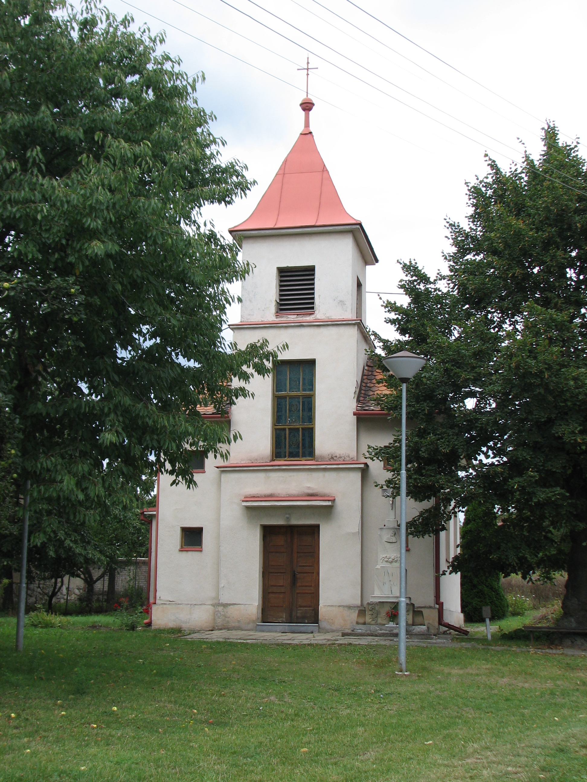
- Ostrovánky
-
Ostrovánky — Municipality — 
Flag
Coat of arms
 Ostrovánky
Coordinates: 49°2′34″N 17°4′49″E / 49.04278°N 17.08028°ECoordinates: 49°2′34″N 17°4′49″E / 49.04278°N 17.08028°E Country  Czech Republic
Region South Moravian District Hodonín Area – Total 1.63 km2 (0.6 sq mi) Elevation 309 m (1,014 ft) Population (2009) – Total 234 – Density 143.6/km2 (371.8/sq mi) Postal code 696 31 Website http://www.ostrovanky.cz Ostrovánky is a village and municipality (obec) in Hodonín District in the South Moravian Region of the Czech Republic.
The municipality covers an area of 1.63 square kilometres (0.63 sq mi), and has a population of 234 (as of 1 May 2009).
Ostrovánky lies approximately 22 kilometres (14 mi) north of Hodonín, 39 km (24 mi) south-east of Brno, and 225 km (140 mi) south-east of Prague.
References
Towns and villages of Hodonín District Archlebov · Blatnice pod Svatým Antonínkem · Blatnička · Bukovany · Bzenec · Čejč · Čejkovice · Čeložnice · Dambořice · Dolní Bojanovice · Domanín · Dražůvky · Dubňany · Hodonín · Hovorany · Hroznová Lhota · Hrubá Vrbka · Hýsly · Javorník · Ježov · Josefov · Karlín · Kelčany · Kněždub · Kostelec · Kozojídky · Kuželov · Kyjov · Labuty · Lipov · Louka · Lovčice · Lužice · Malá Vrbka · Mikulčice · Milotice · Moravany · Moravský Písek · Mouchnice · Mutěnice · Násedlovice · Nechvalín · Nenkovice · Nová Lhota · Nový Poddvorov · Ostrovánky · Petrov · Prušánky · Radějov · Ratíškovice · Rohatec · Skalka · Skoronice · Sobůlky · Starý Poddvorov · Stavěšice · Strážnice · Strážovice · Sudoměřice · Suchov · Svatobořice-Mistřín · Syrovín · Šardice · Tasov · Těmice · Terezín · Tvarožná Lhota · Uhřice · Vacenovice · Velká nad Veličkou · Veselí nad Moravou · Věteřov · Vlkoš · Vnorovy · Vracov · Vřesovice · Žádovice · Žarošice · Ždánice · Želetice · Žeravice · Žeraviny
This South Moravian Region location article is a stub. You can help Wikipedia by expanding it.