- Hýsly
Geobox | Settlement
name = Hýsly
other_name =
category = Village
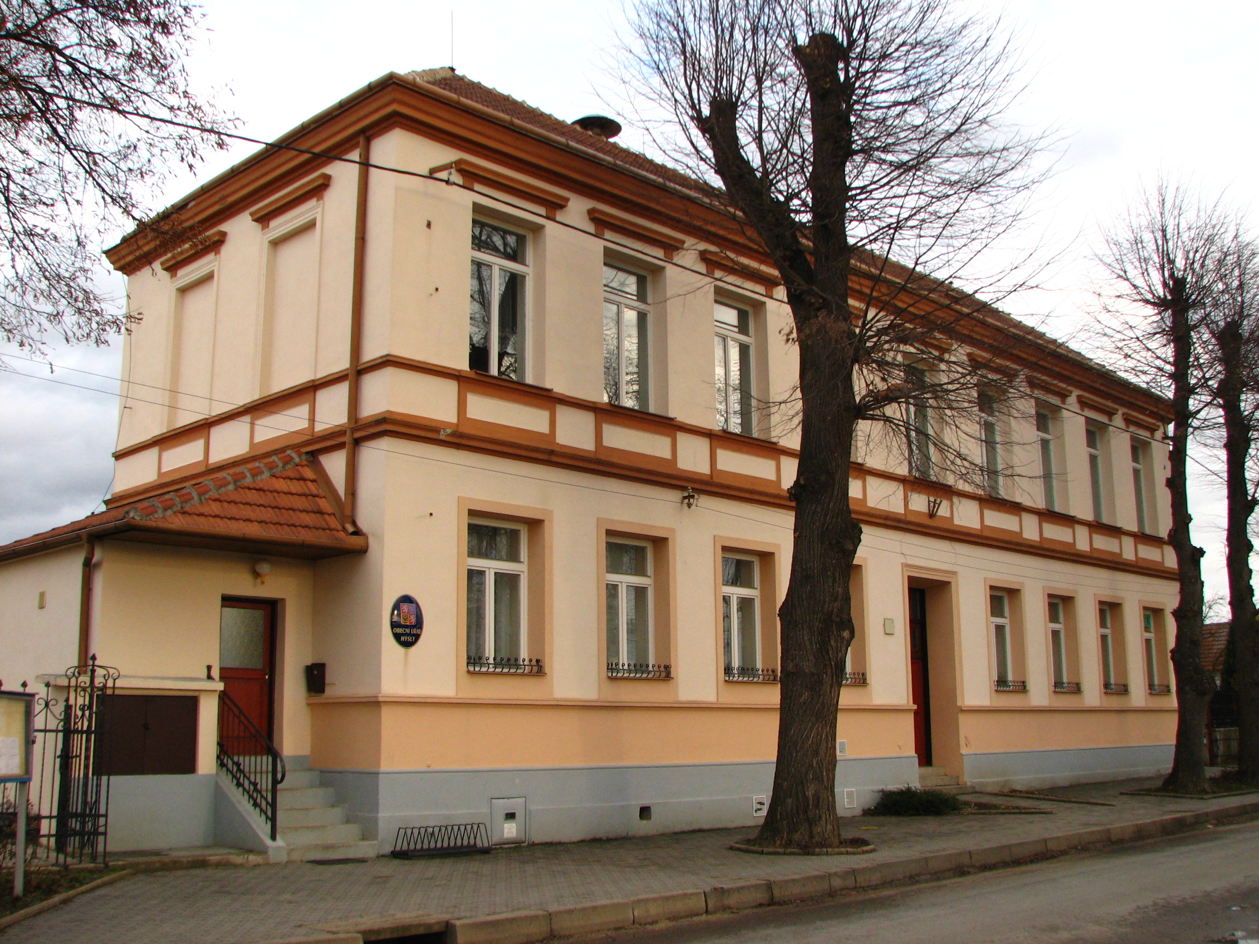
image_caption = Local municipal office, former primary school
symbol = Hysly coat of arms.png
official_name =
motto =
nickname =
country = Czech Republic
country_
state =
region = South Moravian
region_type = Region
district = Hodonín
district_type = District
commune = Hodonín
municipality = Kyjov
part =
river =
location =
elevation = 224
lat_d = 49
lat_m = 02
lat_s = 35
lat_NS = N
long_d = 17
long_m = 11
long_s = 12
long_EW = E
highest =
highest_elevation =
highest_lat_d =
highest_long_d =
lowest =
lowest_elevation =
lowest_lat_d =
lowest_long_d =
area = 8.25
area_round = 2
population = 389
population_date = 2008
population_density = auto
established = 1131
established_type = First mentioned
mayor = Tibor Skalka
timezone = CET
utc_offset = +1
timezone_DST = CEST
utc_offset_DST = +2
postal_code = 696 50
area_code =
code =
free =
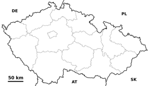
map_background = Czechia - background map.png
map_locator = Czechia
commons = Hýsly
statistics = [http://www.statnisprava.cz/rstsp/ciselniky.nsf/i/586200 statnisprava.cz]
website = [http://www.hysly.cz/ www.hysly.cz]
footnotes =Hýsly (IPA2|ˈhiːslɪ) is a village in the
South Moravian Region of theCzech Republic . It has around 389 inhabitants. It was first mentioned in1131 .External links
* [http://www.hysly.cz/ Village website] (cz)


Wikimedia Foundation. 2010.