- Argeș River
-
For other uses of "Argeş", see Argeş (disambiguation).
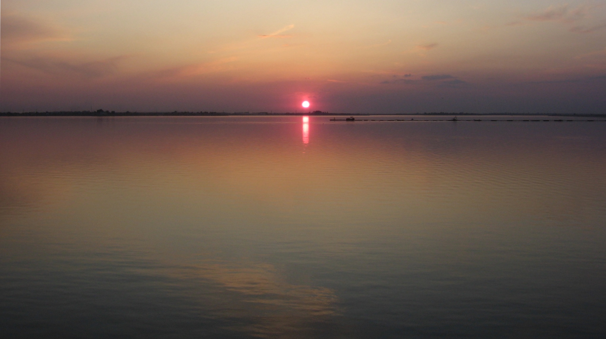
Argeș River  The Argeş in Mihăileşti-Cornetu
Countries Romania Counties Argeș, Dâmbovița, Ilfov, Giurgiu, Călărași Tributaries - left Buda, Râul Doamnei, Dâmboviţa - right Capra, Neajlov Cities Curtea de Argeș, Pitești, Oltenița Source - location Făgăraș Mountains, junction of headwaters Buda and Capra near Arefu - elevation 2,030 m (6,660 ft) Mouth Danube - location Olteniţa - coordinates 44°3′33″N 26°37′1″E / 44.05917°N 26.61694°E Length 350 km (217 mi) Basin 12,600 km2 (4,865 sq mi)  The Argeş in Romania
Argeș (Romanian pronunciation: [ˈard͡ʒeʃ] (
 listen)) is a river of Southern Romania. It starts at the junction of headwaters Buda and Capra in the Făgăraș Mountains, in the Southern Carpathians and flows into the Danube at Oltenița.
The main city on the Argeş is Piteşti. Upstream, it is retained by the Vidraru Dam, which has created Lake Vidraru.
Contents
Name
The river is believed to be the same as Ὀρδησσός Ordessus, a name mentioned by Ancient Greek historian Herodotus.[1] The etymology of Argeş is not clear. Traditionally, it was considered that it's derived from the ancient name, through a reconstructed term, *Argessis. The capital of Dacian leader Burebista was named Argedava, but it appears that it has no link with the name for the river.[2]
An alternate etymology derives the name of the river from a Pecheneg word, transliterated into Romanian as argiş (meaning "higher ground"). The earliest recorded variants of the name, referring to the city of Curtea de Argeş (lit. "The Court on the Argeş"), also suggest a derivation from this word: Argyas (1369), Argies (1379), Arghiş (1427), the river probably taking the name of the city.[2]
Localities
The following localities are situated along the river Argeş, from source to mouth: Căpăţânenii Ungureni, Căpăţânenii Pământeni, Arefu, Poienarii de Argeş, Corbeni, Rotunda, Albeştii de Argeş, Curtea de Argeş, Băiculeşti, Merişani, Bascov, Piteşti, Găeşti, Bolintin-Deal, Adunaţii-Copăceni, and Olteniţa.
Hydro energy
The Argeş River and some of its tributaries are used for hydro energy[3]. The hydroelectrical system consists of several dams, lakes, tunnels and power plants[4]. The lakes built on the Argeş River are: Vidraru, Oieşti, Cerbureni, Curtea de Argeş, Zigoneni, Merişani, Budeasa, Bascov, Piteşti, Călineşti (or Goleşti), Zăvoiu (near Mătăsaru), Ogrezeni and Mihăileşti[5]. There are dams also on its tributaries.
Tributaries
Argeş has for its left tributaries: Buda, Valea cu Peşti, Valea Lupului, Limpedea, Chiciura, Valea Iaşului, Vâlsan, Valea Satului, Râul Doamnei, Râncaciov, Cârcinov, Budişteanca, Sabar, Câlnău, Dâmboviţa, Rasa, and Luica.
Its tributaries on the right are Capra, Cumpăna, Valea lui Stan, Arefu, Băneşti, Valea Danului, Tutana, Schiau, Bascov, Neajlov and Zboiul.
References
- ^ George Ioan Brătianu, Une énigme et un miracle historique: le peuple roumain, Editura Ştiinţifică şi Enciclopedică, Bucharest, 1989, p.138
- ^ a b Alexandru Madgearu, "Români şi pecenegi în sudul Transilvaniei", in Zeno-Karl Pinter, Ioan-Marian Ţiplic, Maria-Emilia Ţiplic (eds.), Relaţii interetnice în Transilvania, Sec. VI-XIII, Editura Economică, Bucharest, p.117. ISBN 973-709-158-2
- ^ http://www.hidroelectrica.ro/Details.aspx?page=37
- ^ http://www.hydrop.pub.ro/bpcap1-3.pdf
- ^ http://www.rowater.ro/daarges/Documente%20Planuri%20bazinale/15.%20Tabel%20Acumulari%20permanente%20frontale.pdf
Further reading
- Administraţia Naţională Apelor Române, Cadastrul Apelor, Bucharest
- Institutul de Meteorologie şi Hidrologie, Rîurile României, Bucharest, 1971
Categories:- Rivers of the Argeş subbasin
- Rivers of Argeș County
- Rivers of Dâmboviţa County
- Rivers of Ilfov County
- Rivers of Giurgiu County
- Rivers of Călăraşi County
- Rivers of Romania
- Tributaries of the Danube

Wikimedia Foundation. 2010.