- Obispo Santistevan Province
-
Obispo Santistevan 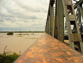
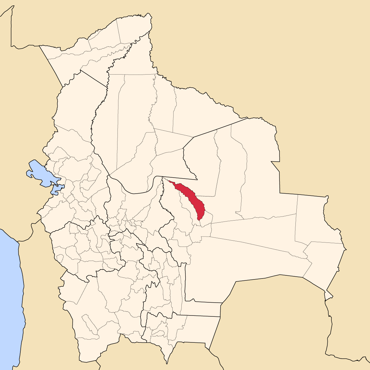
Río Grande (or: Guapay) Location in Bolivia 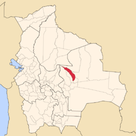
General Data Capital Montero Area 3,673 km² [1] Population 142,786 (2001) Density 38.9 inhabitants/km² (2001) ISO 3166-2 BO.SC.OS Santa Cruz Department 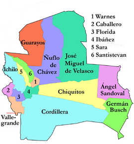
Obispo Santistevan (or: Santiesteban) is one of the fifteen provinces of the Bolivian Santa Cruz department and is situated in the department's western parts. The province was founded on 2 December 1941, and its name honors Obispo Santistevan (1843–1931), famous supporter of the building of Santa Cruz Cathedral.
Contents
Location
Obispo Santistevan Province is located between 16° 02' and 17° 24' South and between 63° 02' and 64° 15' West. It extends over a length of 280 km from Northwest to Southeast, and up to 45 km from West to East. The province's border to the neighbouring provinces in the East and Northeast is formed by Río Grande.
The province is situated in the Bolivian lowlands and borders Ichilo Province in the Northwest, Sara Province in the Southwest, Ignacio Warnes Province in the Southeast, Ñuflo de Chávez Province in the East, and Guarayos Province in the Northeast.
Population
The population of Obispo Santistevan Province has increased by 75 % over the recent two decades:
- 1992: 104,660 inhabitants (census)
- 2001: 142,786 inhabitants (census)
- 2005: 161,307 inhabitants (est.)[2]
- 2010: 176,107 inhabitants (est.)[3]
44.7 % of the population are younger than 15 years old. (1992)
98.2 % of the population speak Spanish, 27.6 % speak Quechua, 1.9 % Aymara, and 1.2 speak Guaraní. (1992)
35.5 % of the population have no access to electricity, 34.2 % have no sanitary facilities. (1992)
86.5 % of the population are Catholics, 9.8 % are Protestants. (1992)
Division
The province comprises three municipios:
- Mineros Municipality - 45,853 inhabitants (2001) [4]
- Montero Municipipality - 80,341 inhabitants (2001) [5]
- General Saavedra Municipality - 16,592 inhabitants (2001) [6]
References
- ^ Santa Cruz Prefectura
- ^ Instituto Nacional de Estadística
- ^ Instituto Nacional de Estadística - Proyecciones
- ^ Federación de Asociaciones Municipales de Bolivia (PDF)
- ^ Federación de Asociaciones Municipales de Bolivia (PDF)
- ^ Federación de Asociaciones Municipales de Bolivia (PDF)
External links
- General map of province
- Detailed map of province towns and rivers
- Population data (Spanish)
- Social data (Spanish)
Santa Cruz Department Andrés Ibáñez · Ángel Sandoval · Chiquitos · Cordillera · Florida · Germán Busch · Guarayos · Ichilo · Ignacio Warnes · José Miguel de Velasco · Manuel María Caballero · Ñuflo de Chávez · Obispo Santistevan · Sara · Vallegrande
Categories:


Wikimedia Foundation. 2010.