- Neumarkt (KVB)
-
Neumarkt 

 KVB light rail station
Northbound platform of the underground stationStation statistics Address Neumarkt, 50667 Köln Coordinates 50°56′09″N 6°56′55″E / 50.93592°N 6.94864°E Lines 1 3 4 7 9 16 18 Connections Bus, Taxi Structure underground, at-grade Platforms 6 side platforms Bicycle facilities Call a Bike Other information Opened 6. October 1969 Accessible 
Owned by Kölner Verkehrs-Betriebe Services Preceding station KVB Following station Rudolfplatztoward Köln-Weiden West1 Heumarkttoward BensbergAppellhofplatztoward Mengenich Ollenhauerring3 Poststraßetoward ThielenbruchAppellhofplatztoward Bocklemünd4 Poststraßetoward SchlebuschRudolfplatztoward Frechen-Benzelrath7 Heumarkttoward ZündorfMauritiuskirchetoward Sülz Hermanskeiler Platz9 Heumarkttoward KönigsforstPoststraßetoward Bad Godesberg Stadthalle16 Appellhofplatztoward Niehl SebastianstraßePoststraßetoward Bonn Hbf18 Appellhofplatztoward ThielenbruchLocation 

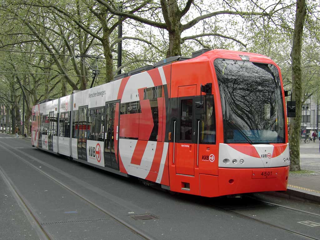
Neumarkt is a Stadtbahn station in Innenstadt, Cologne. The station is divided in an overground part for low-floor trains and an underground part for high-floor trains. It is important as a junction between the low-floor east-western lines (1, 7, 9) and the high-floor lines (3, 4, 16, 18).
Contents
Overground station
 Neumarkt station (overground)
The overground part consists mainly of two low-floor platforms on the Neumarkt square used by the East-western trains of lines 1. 7 and 9. Although most of the trains don't terminate here in regular service, there is a loop sourrounding the place. This loop, used for example by additional trains to the Stadium and by line 7 in the late evenings uses two additional platforms at the northern end of the Neumarkt. From the main platforms, there are stairs leading to the underground part of the station and to the HUGO-Passage.
Adjacent to the station is also a bus stop. All bus lines terminate here, the stop for exit is near the main platforms, the entrance platform near the platforms in the loop.
Underground station
The underground station is used by the high-floor trains of lines 3, 4, 16 and 18. There are two side-platforms, but the station does not offer any operational infrastructure.
When this station was opened, it also used low-floor platforms as also trams called here. When the platforms were elevated to allow step-free access to the trains, the escalators were not replaced, so from the platforms, a ramp was built to get to the level of the lower end of the escalators.
HUGO-Passage
 An entrance to the HUGO-Passage
The HUGO-Passage is an underground concourse connecting both parts of the Station and the nearby Schildergasse. Inside, there are shops as well as a service center of the Kölner Verkehrs-Betriebe (Cologne Transport Authority).
The name HUGO-Passage is usually shown by a green H in a yellow circle, the German sign for a tram stop (Haltestelle) representing the overground station, a white U in a blue box, the German sign for an underground (U-Bahn), and the word GO, depicting the possibilities for walkers to use the passage to avoid waiting at traffic lights.
Notable places nearby
- Käthe Kollwitz Museum
- Rautenstrauch Joest Museum
- Schnütgen Museum
- Church of St. Cäcilien Basilica
- Church of St. Aposteln
See also
External links
- Layout of the station (PDF, German)
Categories:- Cologne KVB stations
- Innenstadt, Cologne


Wikimedia Foundation. 2010.