- National Register of Historic Places listings in Columbia, South Carolina
-
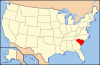
 Location of Columbia in South Carolina
This is a list of the National Register of Historic Places listings in Columbia, South Carolina.
This is intended to be a complete list of the properties and districts on the National Register of Historic Places in Columbia, South Carolina, United States. The locations of National Register properties and districts for which the latitude and longitude coordinates are included below, may be seen on a map.[1]
There are 152 properties and districts listed on the National Register in Richland County, including 5 National Historic Landmarks. The city of Columbia is the location of 118 of these properties and districts, including all of the National Historic Landmarks; they are listed here, while the 34 properties and districts in the remaining parts of the county are listed separately. Another 3 properties in Columbia were once listed but have been removed.
-
- This National Park Service list is complete through NPS recent listings posted November 10, 2011.[2]
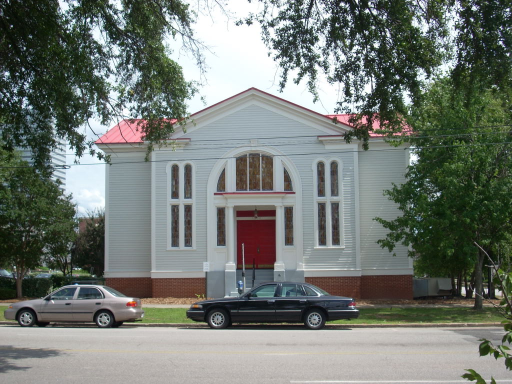
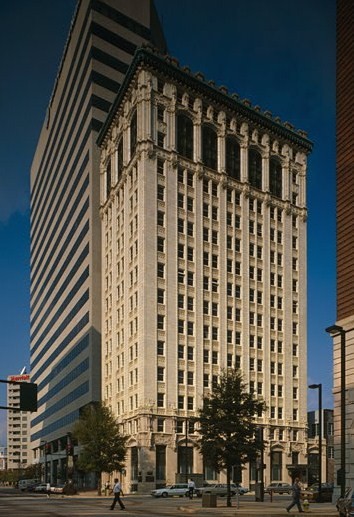
Current listings
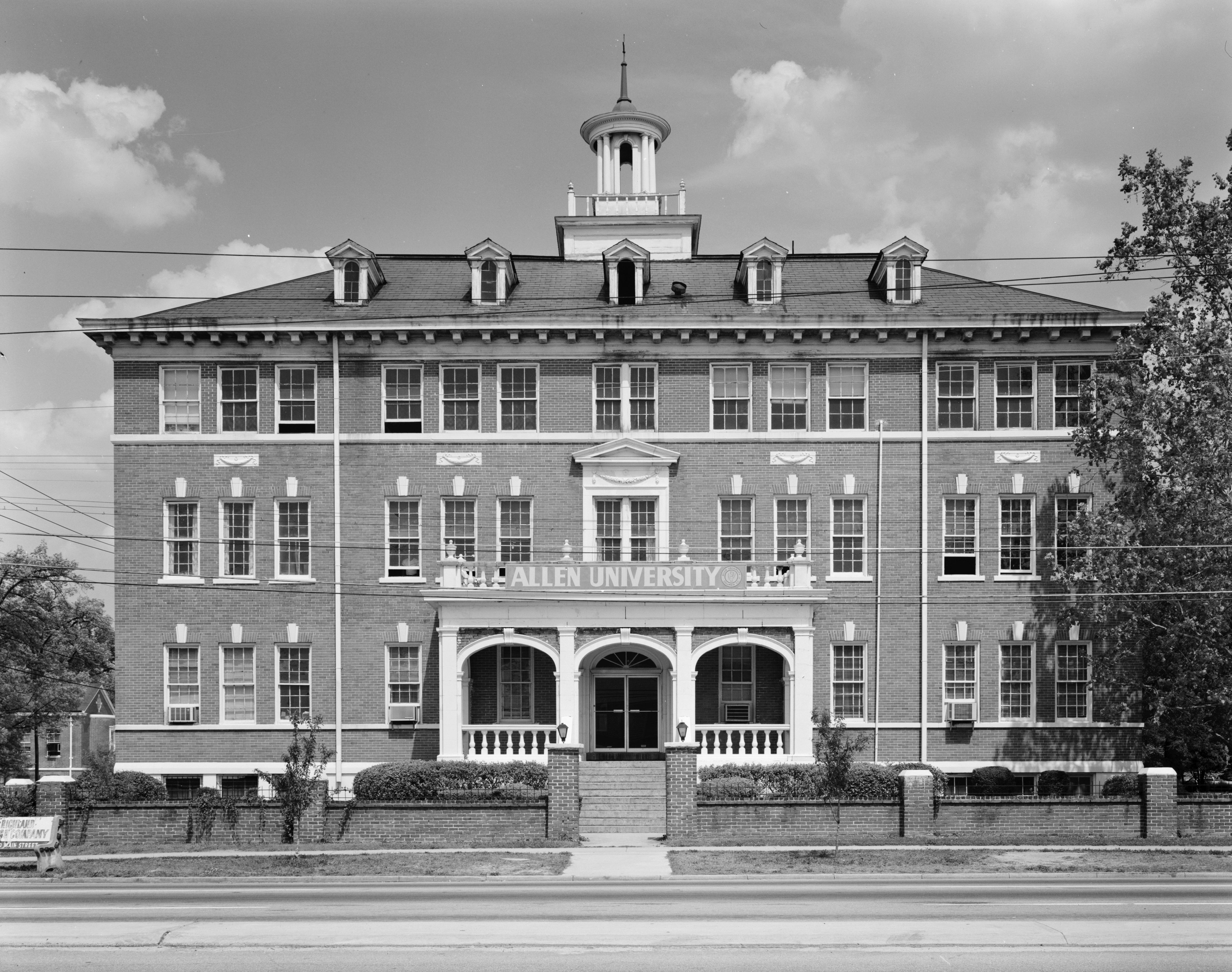
[3] Landmark name[4] Image Date listed Location Summary 1 Allen University 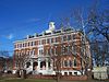
April 14, 1975 1530 Harden St.
34°0′38″N 81°1′14″W / 34.01056°N 81.02056°W2 Alston House March 2, 1979 1811 Gervais St.
34°0′16″N 81°1′25″W / 34.00444°N 81.02361°W3 Arcade Building 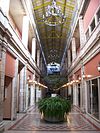
November 17, 1982 1332 Main St.
34°0′12″N 81°2′4″W / 34.00333°N 81.03444°W4 Arsenal Hill November 23, 1971 1800 Lincoln St.
34°0′29″N 81°2′32″W / 34.00806°N 81.04222°W5 Babcock Building, South Carolina State Hospital October 30, 1981 Bull St.
34°0′51″N 81°1′49″W / 34.01417°N 81.03028°W6 Bellevue Historic District September 30, 1997 Roughly bounded by Sumter St., Anthony Ave., Bull St., and Elmwood Ave.
34°1′9″N 81°2′19″W / 34.01917°N 81.03861°W7 Benedict College Historic District April 20, 1987 Roughly bounded by Laurel, Oak, Taylor, and Harden Sts. on the Benedict College campus
34°0′43″N 81°1′12″W / 34.01194°N 81.02°W8 Florence C. Benson Elementary School October 7, 2009 226 Bull St.
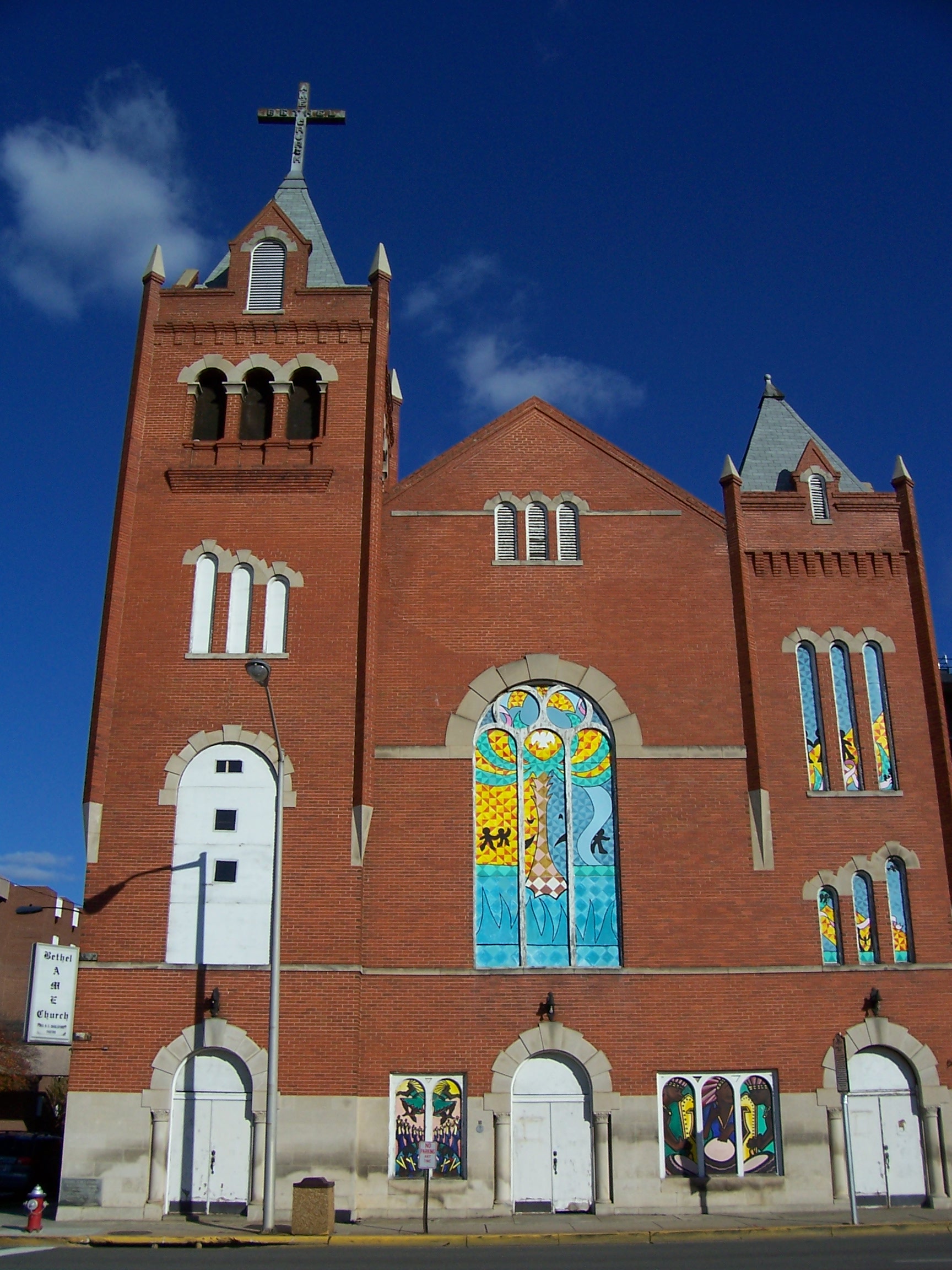
33°59′24.92″N 81°1′20.88″W / 33.9902556°N 81.0224667°W9 Bethel A.M.E. Church 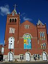
May 24, 1982 1528 Sumter St.
34°0′25″N 81°2′3″W / 34.00694°N 81.03417°W10 Keziah Goodwyn Hopkins Brevard House March 27, 1986 Address Restricted 11 BROWN'S FERRY VESSEL May 18, 1979 Address Restricted 12 Building at 1210-1214 Main Street March 2, 1979 1210-1214 Main St.
34°0′4″N 81°2′7″W / 34.00111°N 81.03528°W13 Building at 1644 Main Street March 2, 1979 1644 Main St.
34°0′27″N 81°2′11″W / 34.0075°N 81.03639°W14 Building at 1722-1724 Main Street November 25, 1980 1722-1724 Main St.
34°0′30″N 81°2′13″W / 34.00833°N 81.03694°W15 Building at 303 Saluda Avenue May 24, 1982 303 Saluda Ave.
33°59′34″N 81°1′2″W / 33.99278°N 81.01722°W16 Caldwell-Hampton-Boylston House May 6, 1971 829 Richland St.
34°0′32″N 81°2′36″W / 34.00889°N 81.04333°W17 John C. Calhoun State Office Building September 23, 2011 1015 Sumter St.
33°59′57″N 81°1′51″W / 33.99917°N 81.03083°W18 Canal Dime Savings Bank November 25, 1980 1530 Main St.
34°0′20″N 81°2′8″W / 34.00556°N 81.03556°W19 Carver Theatre July 17, 2003 1519 Harden St.
34°0′37″N 81°1′18″W / 34.01028°N 81.02167°W20 Chappelle Administration Building 
December 8, 1976 1530 Harden St.
34°0′39″N 81°1′16″W / 34.01083°N 81.02111°W21 Chesnut Cottage May 6, 1971 1718 Hampton St.
34°0′27″N 81°1′37″W / 34.0075°N 81.02694°W22 Claussen's Bakery March 9, 1987 2001-2003 Green St.
34°0′0″N 81°1′5″W / 34°N 81.01806°W23 Columbia Canal 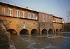
January 15, 1979 Eastern bank of the Broad and Congaree Rivers from the Diversion dam to the Southern railroad bridge
34°0′6″N 81°3′21″W / 34.00167°N 81.05583°W24 Columbia Central Fire Station September 25, 2009 1001 Senate St.
33°59′57.57″N 81°2′9.96″W / 33.999325°N 81.0361°W25 Columbia City Hall 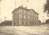
June 19, 1973 Main and Laurel Sts.
34°0′32″N 81°2′15″W / 34.00889°N 81.0375°W26 Columbia Electric Street Railway, Light & Power Substation February 4, 2011 Main and Laurel Sts.
34°0′9″N 81°2′10″W / 34.0025°N 81.03611°W27 Columbia Historic District I May 6, 1971 Roughly bounded by Elmwood, Assembly, Laurel, and Wayne Sts.
34°0′37″N 81°2′13″W / 34.01028°N 81.03694°W28 Columbia Historic District II 
May 6, 1971 Roughly bounded by Taylor, Richland, Pickens, and Barnwell Sts.; also Blanding, Laurel, Richland, Calhoun, Marion, Bull, Pickens, Henderson, and Barnwell Sts.
34°0′39″N 81°2′1″W / 34.01083°N 81.03361°WSecond set of boundaries represents a boundary increase of June 28, 1982 29 Columbia Mills Building 
May 24, 1982 On the Congaree River
33°59′55″N 81°2′53″W / 33.99861°N 81.04806°WNow houses the South Carolina State Museum 30 Columbia Township Auditorium September 28, 2005 1703 Taylor St.
34°0′33″N 81°4′40″W / 34.00917°N 81.07778°W31 Confederate Printing Plant March 28, 1979 501 Gervais St.
33°59′53″N 81°2′41″W / 33.99806°N 81.04472°W32 Consolidated Building 
March 2, 1979 1326-1330 Main St.
34°0′12″N 81°2′4″W / 34.00333°N 81.03444°W33 Harriet M. Cornwell Tourist House October 5, 2007 1713 Wayne St.
34°0′27″N 81°2′43″W / 34.0075°N 81.04528°W34 Curtiss-Wright Hangar April 30, 1998 1400 Jim Hamilton Boulevard
33°58′34″N 81°0′7″W / 33.97611°N 81.00194°W35 Debruhl-Marshall House 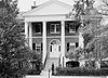
March 23, 1972 1401 Laurel St.
34°0′38″N 81°2′2″W / 34.01056°N 81.03389°W36 Dovillers-Manning-Magoffin House March 2, 1979 4203 St. Clair Dr.
34°0′34″N 80°58′39″W / 34.00944°N 80.9775°W37 Eau Claire Town Hall and Survey Publishing Company Building March 2, 1979 3904 Monticello Rd.
34°2′21″N 81°3′8″W / 34.03917°N 81.05222°W38 Ebenezer Lutheran Chapel March 2, 1979 1301 Richland St.
34°0′41″N 81°2′9″W / 34.01139°N 81.03583°W39 Elmwood Cemetery September 6, 1996 501 Elmwood Ave.
34°0′50″N 81°3′13″W / 34.01389°N 81.05361°W40 Elmwood Park Historic District May 3, 1991 Roughly bounded by Elmwood Ave., Main St. and the former Seaboard Air Line railroad tracks; also 2113 Park St.
34°0′49″N 81°2′34″W / 34.01361°N 81.04278°W2113 Park represents a boundary increase of May 13, 2002 41 Ensor-Keenan House March 2, 1979 801 Wildwood Ave.
34°2′38″N 81°2′31″W / 34.04389°N 81.04194°W42 Fair-Rutherford and Rutherford Houses April 5, 1984 1326 and 1330 Gregg St.
34°0′25″N 81°1′24″W / 34.00694°N 81.02333°W43 First Baptist Church 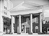
January 25, 1971 1306 Hampton St.
34°0′20″N 81°2′0″W / 34.00556°N 81.033333°W44 First National Bank November 25, 1980 1208 Washington St.
34°0′13″N 81°2′4″W / 34.00361°N 81.03444°W45 First Presbyterian Church 
January 25, 1971 1324 Marion St.
34°0′14″N 81°1′51″W / 34.00389°N 81.03083°W46 Forest Hills Historic District September 28, 2007 Bounded by Gervais St., Manning St., Forest Dr., and Glenwood Rd.
34°0′45.42″N 81°0′12.01″W / 34.0126167°N 81.0033361°W47 Gervais Street Bridge 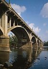
November 25, 1980 Spans the Congaree River
33°59′47″N 81°2′55″W / 33.99639°N 81.04861°WExtends into West Columbia in Lexington County 48 Good Samaritan-Waverly Hospital July 28, 2008 2204 Hampton St.
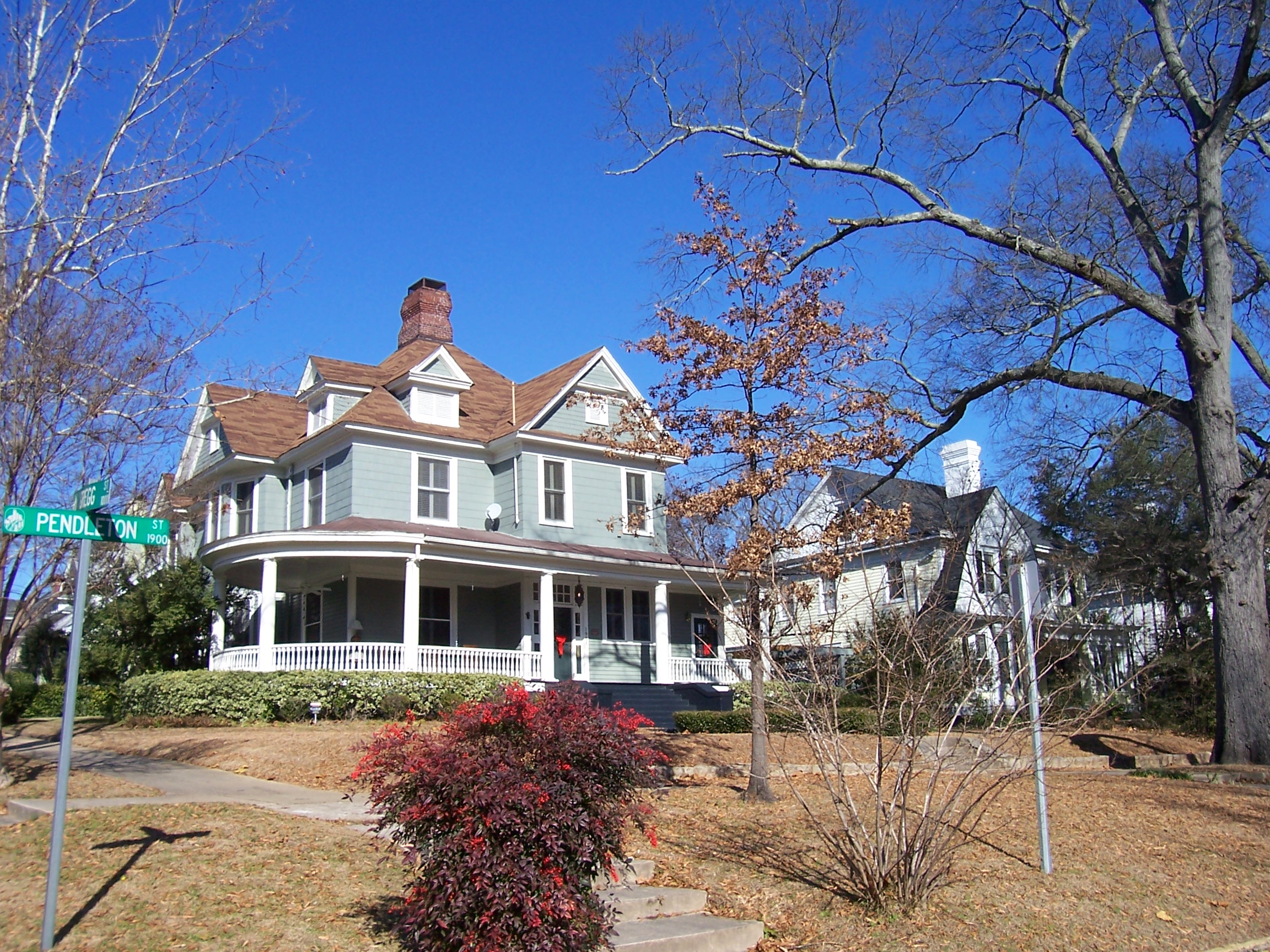
34°0′37.45″N 81°1′8.3″W / 34.0104028°N 81.018972°W49 Granby Mill Village Historic District September 20, 1993 Roughly bounded by Catawba, Gist, Heyward, and Church Sts.
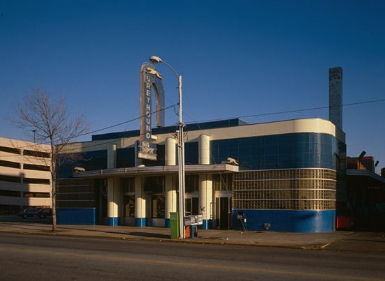
33°58′59″N 81°2′22″W / 33.98306°N 81.03944°W50 Greyhound Bus Depot 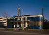
December 28, 1989 1200 Blanding St.
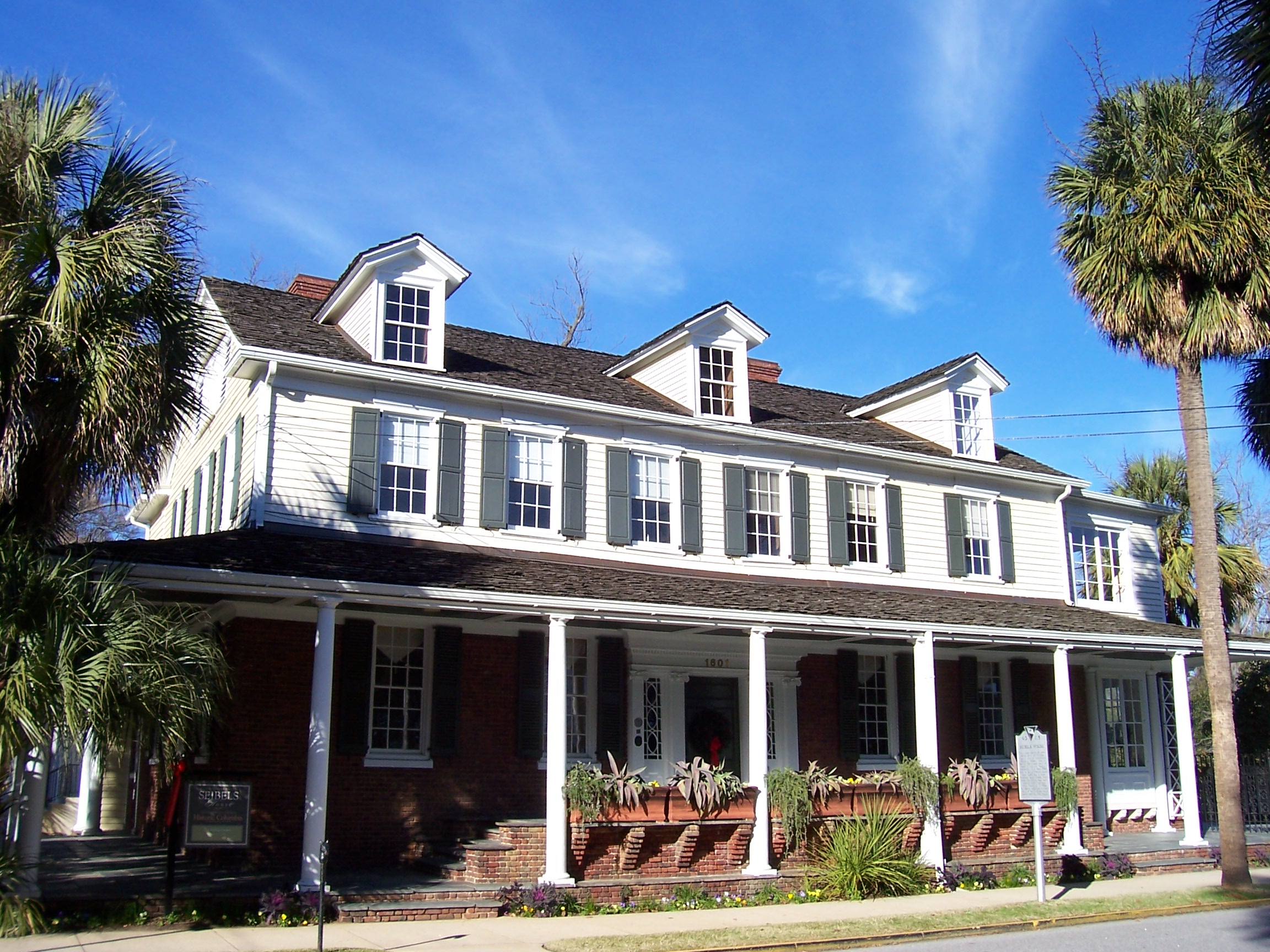
34°0′29″N 81°2′8″W / 34.00806°N 81.03556°W51 Hale-Elmore-Seibels House 
May 6, 1971 1601 Richland St.
34°0′46″N 81°1′53″W / 34.01278°N 81.03139°W52 Ainsley Hall House 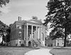
July 16, 1970 1616 Blanding St.
34°0′34″N 81°1′45″W / 34.00944°N 81.02917°WRobert Mills House 53 Hampton-Preston House 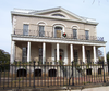
July 29, 1969 1615 Blanding St.
34°0′37″N 81°1′46″W / 34.01028°N 81.02944°W54 Harden Street Substation September 28, 2005 1901 Harden St.
34°0′53″N 81°1′25″W / 34.01472°N 81.02361°W55 Heslep House March 2, 1979 203 Saluda Ave.
33°59′31″N 81°1′0″W / 33.99194°N 81.016667°W56 Horry-Guignard House May 6, 1971 1527 Senate St.
34°0′6″N 81°1′38″W / 34.00167°N 81.02722°W57 House of Peace Synagogue 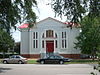
August 28, 1979 Hampton and Park Sts.
34°0′15″N 81°2′18″W / 34.00417°N 81.03833°WAlso known as the Big Apple Club. 58 B.B. Kirkland Seed and Distributing Company 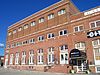
March 2, 1979 912 Lady St.
34°0′3″N 81°2′18″W / 34.00083°N 81.03833°W59 Kress Building March 2, 1979 1508 Main St.
34°0′20″N 81°2′8″W / 34.00556°N 81.03556°W60 Lace House December 17, 1969 803 Richland St.
34°0′31″N 81°2′39″W / 34.00861°N 81.04417°W61 Ladson Presbyterian Church April 30, 1998 1720 Sumter St.
34°0′33″N 81°2′7″W / 34.00917°N 81.03528°W62 Laurelwood March 27, 1986 Address Restricted 63 Lever Building March 2, 1979 1613 Main St.
34°0′24″N 81°2′12″W / 34.00667°N 81.03667°W64 Logan School March 2, 1979 815 Elmwood Ave.
34°0′43″N 81°2′42″W / 34.01194°N 81.045°W65 Preston C. Lorick House February 23, 1972 1727 Hampton St.
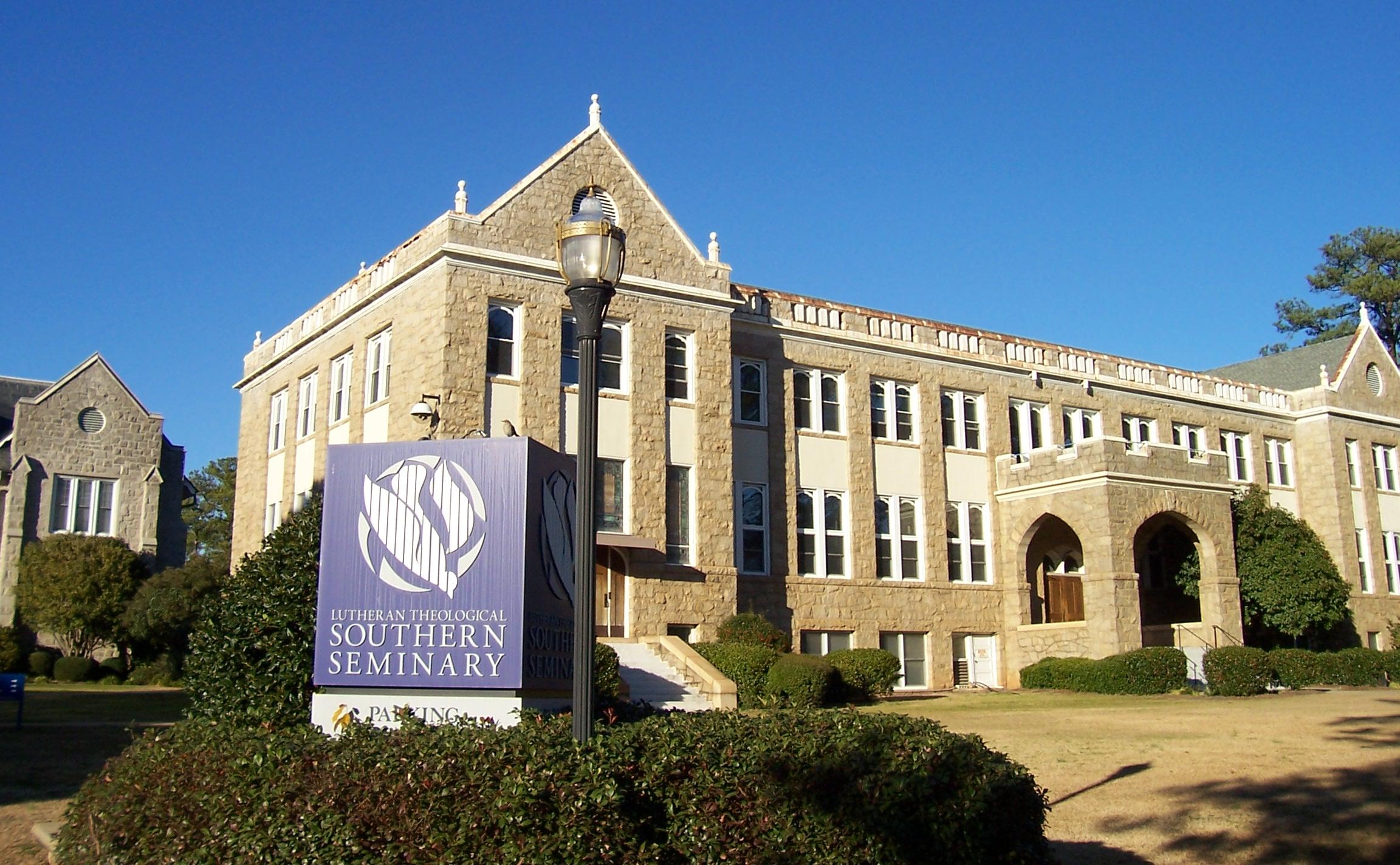
34°0′29″N 81°1′35″W / 34.00806°N 81.02639°W66 Lutheran Theological Seminary Building: Beam Dormitory 
August 28, 1979 4201 Main St.
34°2′32″N 81°2′4″W / 34.04222°N 81.03444°W67 Lyles-Gudmundson House March 2, 1979 Address Restricted
33°59′32″N 81°0′55″W / 33.99222°N 81.01528°W68 Mann-Simons Cottage April 23, 1973 1403 Richland St.
34°0′42″N 81°2′4″W / 34.01167°N 81.03444°W69 McCord House March 2, 1979 1431 Pendleton St.
33°59′59″N 81°1′41″W / 33.99972°N 81.02806°W70 McMaster School July 25, 1997 1106 Pickens St.
34°0′8″N 81°1′34″W / 34.00222°N 81.02611°W71 Millwood 
March 18, 1971 East of Columbia on Garner's Ferry Rd.
33°59′16″N 80°57′45″W / 33.98778°N 80.9625°WHome of Wade Hampton II. 72 Moore-Mann House March 2, 1979 1611 Hampton St.
34°0′27″N 81°1′43″W / 34.0075°N 81.02861°W73 National Loan and Exchange Bank Building March 2, 1979 1338 Main St.
34°0′13″N 81°2′5″W / 34.00361°N 81.03472°W74 Nipper Creek (38RD18) December 24, 1986 Address Restricted 75 North Carolina Mutual Building January 20, 1995 1001, 1001½, and 1003 Washington St.
34°0′10″N 81°2′17″W / 34.00278°N 81.03806°W76 North Columbia Fire Station No. 7 June 1, 2005 2622 N. Main St.
34°1′14″N 81°2′32″W / 34.02056°N 81.04222°W77 Old Campus District, University of South Carolina 
June 5, 1970 Bounded by Pendleton, Sumter, Pickens, and Green Sts.
33°59′47″N 81°1′43″W / 33.99639°N 81.02861°W78 Old Shandon Historic District September 2, 2003 Roughly bounded by Cypress, Lee, Maple, Preston, and Woodrow St.
34°0′4″N 81°0′15″W / 34.00111°N 81.00417°W79 Olympia Mill February 2, 2005 500 Heyward St.
33°58′58″N 81°2′11″W / 33.98278°N 81.03639°W80 Pacific Community Association Building October 24, 2007 701 Whaley St. and 214 Wayne St.
33°59′8.22″N 81°2′7.36″W / 33.9856167°N 81.0353778°W81 Palmetto Building 
November 25, 1980 1400 Main St.
34°0′14″N 81°2′5″W / 34.00389°N 81.03472°W82 Palmetto Compress and Warehouse Company Building October 17, 1985 617 Devine St.
33°59′29″N 81°2′20″W / 33.99139°N 81.03889°W83 George R. Price House April 30, 1998 3000 Forest Dr.
34°0′54″N 80°59′54″W / 34.015°N 80.99833°W84 Raymond Price House September 27, 2007 3004 Forest Dr.
34°0′55″N 80°59′52″W / 34.01528°N 80.99778°W85 Randolph Cemetery January 20, 1995 Western terminus of Elmwood Ave.
34°0′34″N 81°3′15″W / 34.00944°N 81.05417°W86 Richland Cotton Mill November 10, 1983 211-221 Main St.
33°59′18″N 81°1′43″W / 33.98833°N 81.02861°W87 St. Peter's Roman Catholic Church 
September 28, 1989 1529 Assembly St.
34°0′19″N 81°2′17″W / 34.00528°N 81.03806°W88 Sidney Park Colored Methodist Episcopal Church October 24, 1996 1114 Blanding St.
34°0′26″N 81°2′15″W / 34.00722°N 81.0375°W89 Modjeska Monteith Simkins House 
March 25, 1994 2025 Marion St.
34°0′49″N 81°2′9″W / 34.01361°N 81.03583°W90 South Carolina Governor's Mansion June 5, 1970 800 Richland St.
34°0′28″N 81°2′37″W / 34.00778°N 81.04361°W91 South Carolina State Armory 
February 5, 1999 1219 Assembly St.
34°0′5.3″N 81°2′9.6″W / 34.001472°N 81.036°W92 South Carolina State Hospital, Mills Building 
June 5, 1970 2100 Bull St.
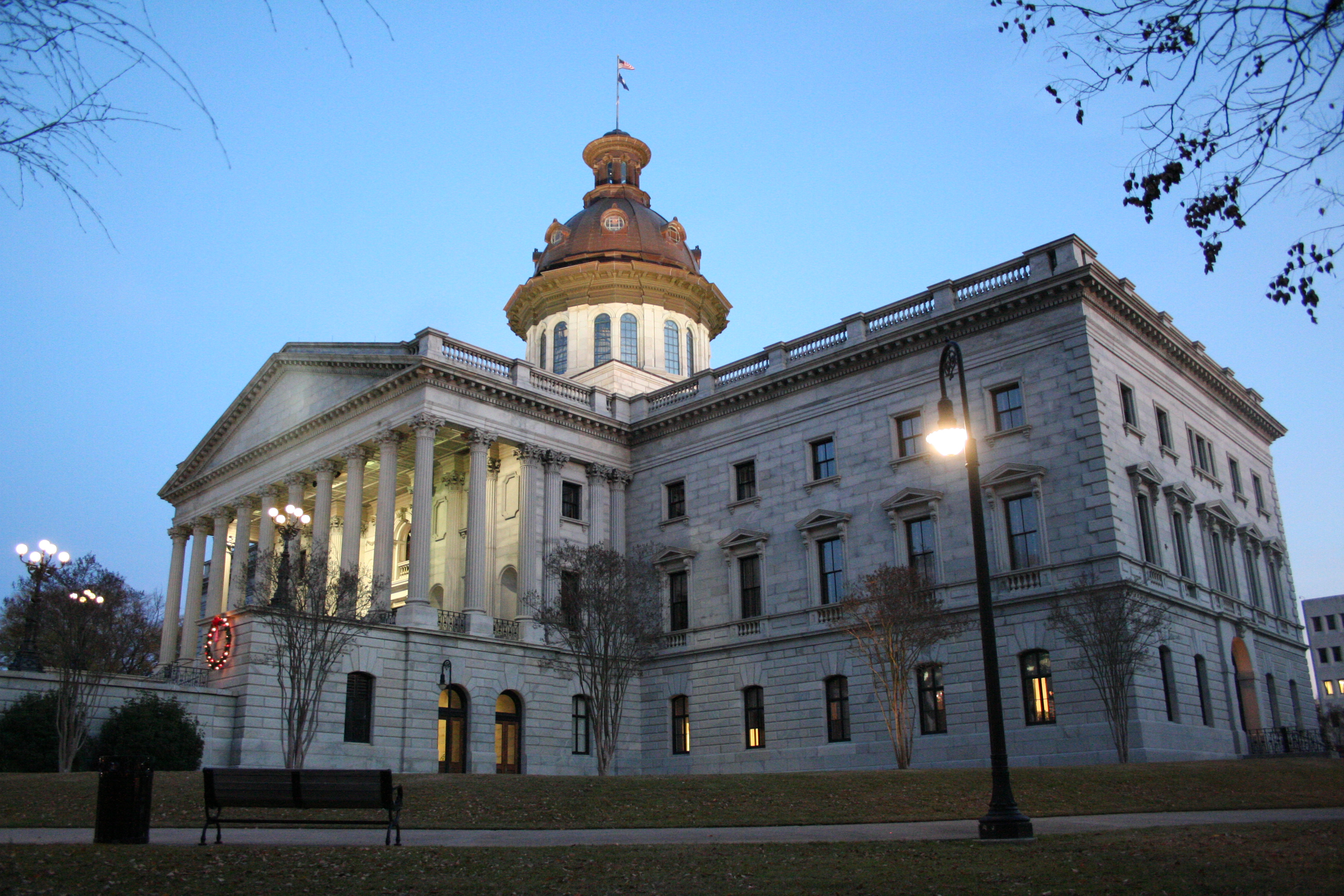
34°0′52″N 81°2′0″W / 34.01444°N 81.033333°W93 South Carolina Statehouse 
June 5, 1970 Main St.
34°0′1″N 81°1′59″W / 34.00028°N 81.03306°W94 Southern Cotton Oil Company July 25, 1996 737 Gadsden St.
33°59′34″N 81°2′16″W / 33.99278°N 81.03778°W95 A. Fletcher Spigner House December 11, 2009 2028 Wheat St.
33°59′45.33″N 81°0′53.88″W / 33.995925°N 81.0149667°W96 Supreme Court of South Carolina Building 
October 18, 1972 Northwestern corner of the junction of Gervais and Sumter Sts.
34°0′6″N 81°1′57″W / 34.00167°N 81.0325°W97 Sylvan Building March 23, 1972 1500 Main St.
34°0′18″N 81°2′7″W / 34.005°N 81.03528°W98 Taylor House July 6, 1982 1505 Senate St.
34°0′5″N 81°1′41″W / 34.00139°N 81.02806°W99 Town Theatre October 9, 1974 1012 Sumter St.
34°0′0″N 81°1′51″W / 34°N 81.03083°W100 Trinity Episcopal Church 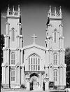
February 24, 1971 1100 Sumter St.
34°0′3″N 81°1′52″W / 34.00083°N 81.03111°W101 Union Station June 19, 1973 401 S. Main St.
33°59′25″N 81°1′46″W / 33.99028°N 81.02944°W102 University Neighborhood Historic District 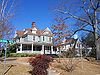
October 13, 2004 Roughly bounded by Gervais St., the Southern railroad cut, Greene St., and Pickens St.
34°0′3″N 81°1′19″W / 34.00083°N 81.02194°W103 US Courthouse 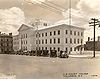
March 2, 1979 1100 Laurel St.
34°0′31″N 81°2′17″W / 34.00861°N 81.03806°W104 Veterans Hospital September 2, 2009 William Jennings Bryan Dorn Veterans Affairs Medical Center, University of South Carolina School of Medicine
33°58′39″N 80°57′40″W / 33.9775°N 80.96111°W105 Wade Hampton State Office Building March 7, 2007 1015 Sumter St.
34°0′5″N 81°1′56″W / 34.00139°N 81.03222°W106 Wallace-McGee House March 2, 1979 415 Harden St.
33°59′43″N 81°0′53″W / 33.99528°N 81.01472°W107 Wardlaw Junior High School September 13, 1984 1003 Elmwood Ave.
34°0′45″N 81°2′33″W / 34.0125°N 81.0425°W108 Washington Street United Methodist Church December 18, 1970 1401 Washington St.
34°0′19″N 81°1′53″W / 34.00528°N 81.03139°W109 Waverly Historic District December 21, 1989 Roughly bounded by Hampton St., Heidt St., Gervais St., and Harden St.
34°0′33″N 81°1′3″W / 34.00917°N 81.0175°W110 Wesley Methodist Church January 29, 2009 1727 Gervais St.
34°0′15.08″N 81°1′28.17″W / 34.0041889°N 81.0244917°W111 West Gervais Street Historic District April 27, 1983 Roughly bounded by Gadsen, Senate, Park, and Lady Sts.
33°59′56″N 81°2′21″W / 33.99889°N 81.03917°W112 W. B. Smith Whaley House March 2, 1979 1527 Gervais St.
34°0′11″N 81°1′40″W / 34.00306°N 81.02778°W113 A.P. Williams Funeral Home September 28, 2005 1808 Washington St.
34°0′24″N 81°1′30″W / 34.00667°N 81.025°W114 Thomas Woodrow Wilson Boyhood Home February 23, 1972 1705 Hampton St.
34°0′29″N 81°1′38″W / 34.00806°N 81.02722°W115 Woodrow Memorial Presbyterian Church March 2, 1979 2221 Washington St.
34°0′34″N 81°1′5″W / 34.00944°N 81.01806°W116 World War Memorial Building May 26, 1995 920 Sumter St., at its junction with Pendleton St.
33°59′55″N 81°1′48″W / 33.99861°N 81.03°W117 Zimmerman House March 2, 1979 1332 Pickens St.
34°0′19″N 81°1′41″W / 34.00528°N 81.02806°W118 Zimmerman School March 2, 1979 1336 Pickens St.
34°0′21″N 81°1′41″W / 34.00583°N 81.02806°WFormer listings
Landmark name Image Dates Location Summary 1 Columbia High School December 18, 1989 (delisted) 1323 Washington Street Demolished 2 South Carolina Penitentiary December 8, 2005 (delisted) 1511 Williams Street Demolished 3 South Carolina Dispensary Office Building December 18, 1989 (delisted) 1205 Pulaski Street See also
- List of National Historic Landmarks in South Carolina
- National Register of Historic Places listings in South Carolina
References
- ^ The latitude and longitude information provided in this table was derived originally from the National Register Information System, which has been found to be fairly accurate for about 99% of listings. For about 1% of NRIS original coordinates, experience has shown that one or both coordinates are typos or otherwise extremely far off; some corrections may have been made. A more subtle problem causes many locations to be off by up to 150 yards, depending on location in the country: most NRIS coordinates were derived from tracing out latitude and longitudes off of USGS topographical quadrant maps created under the North American Datum of 1927, which differs from the current, highly accurate WGS84 GPS system used by Google maps. Chicago is about right, but NRIS longitudes in Washington are higher by about 4.5 seconds, and are lower by about 2.0 seconds in Maine. Latitudes differ by about 1.0 second in Florida. Some locations in this table may have been corrected to current GPS standards.
- ^ "National Register of Historic Places: Weekly List Actions". National Park Service, United States Department of the Interior. Retrieved on November 10, 2011.
- ^ Numbers represent an ordering by significant words. Various colorings, defined here, differentiate National Historic Landmark sites and National Register of Historic Places Districts from other NRHP buildings, structures, sites or objects.
- ^ "National Register Information System". National Register of Historic Places. National Park Service. 2009-03-13. http://nrhp.focus.nps.gov/natreg/docs/All_Data.html.
U.S. National Register of Historic Places in South Carolina Lists by county Abbeville • Aiken • Allendale • Anderson • Bamberg • Barnwell • Beaufort • Berkeley • Calhoun • Charleston • Cherokee • Chester • Chesterfield • Clarendon • Colleton • Darlington • Dillon • Dorchester • Edgefield • Fairfield • Florence • Georgetown • Greenville • Greenwood • Hampton • Horry • Jasper • Kershaw • Lancaster • Laurens • Lee • Lexington • Marion • Marlboro • McCormick • Newberry • Oconee • Orangeburg • Pickens • Richland • Saluda • Spartanburg • Sumter • Union • Williamsburg • York
Lists by city Other lists Categories:- National Register of Historic Places in Columbia, South Carolina
-


Wikimedia Foundation. 2010.