- National Register of Historic Places listings in Charles County, Maryland
-
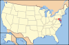
 Location of Charles County in Maryland
This is a list of the National Register of Historic Places listings in Charles County, Maryland.
This is intended to be a complete list of the properties and districts on the National Register of Historic Places in Charles County, Maryland, United States. Latitude and longitude coordinates are provided for many National Register properties and districts; these locations may be seen together in a Google map.[1]
There are 37 properties and districts listed on the National Register in the county, including 1 National Historic Landmark. Two other sites in the county were once listed on the Register but have been removed.
Contents: Counties in Maryland Allegany - Anne Arundel - Baltimore (city) - Baltimore County - Calvert - Caroline - Carroll - Cecil - Charles - Dorchester - Frederick - Garrett - Harford - Howard - Kent - Montgomery - Prince George's - Queen Anne's - Somerset - St. Mary's - Talbot - Washington - Wicomico - Worcester -
- This National Park Service list is complete through NPS recent listings posted November 10, 2011.[2]
Current listings
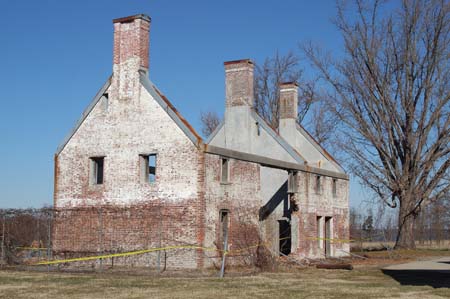
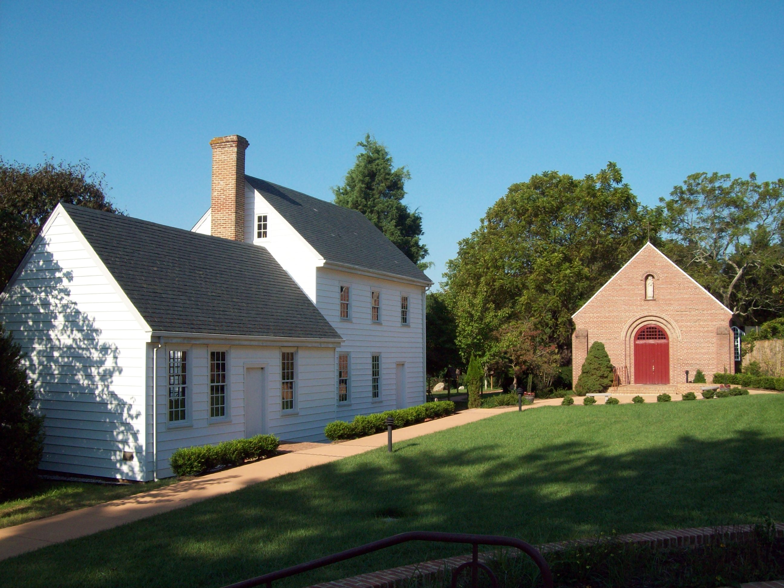
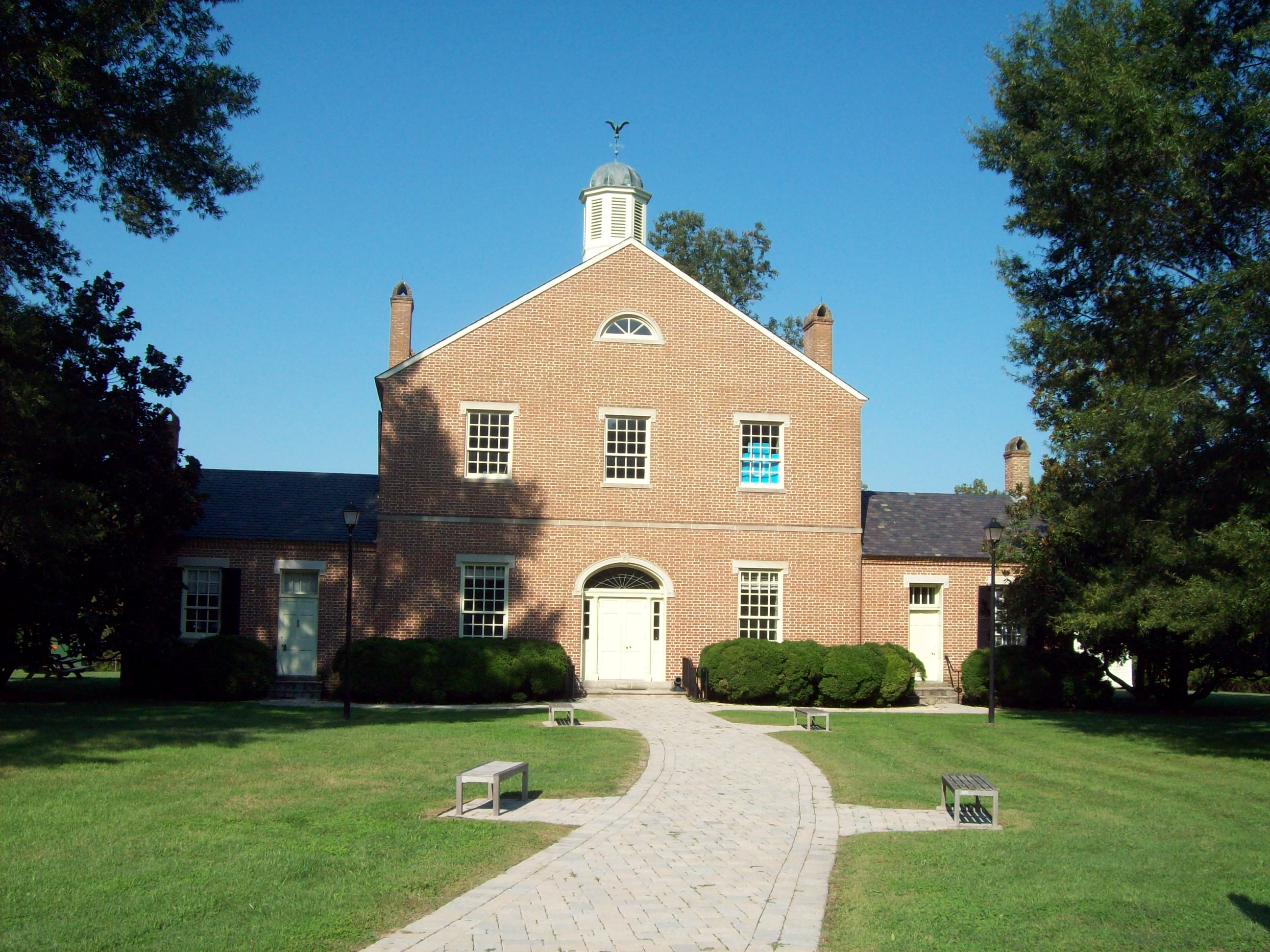
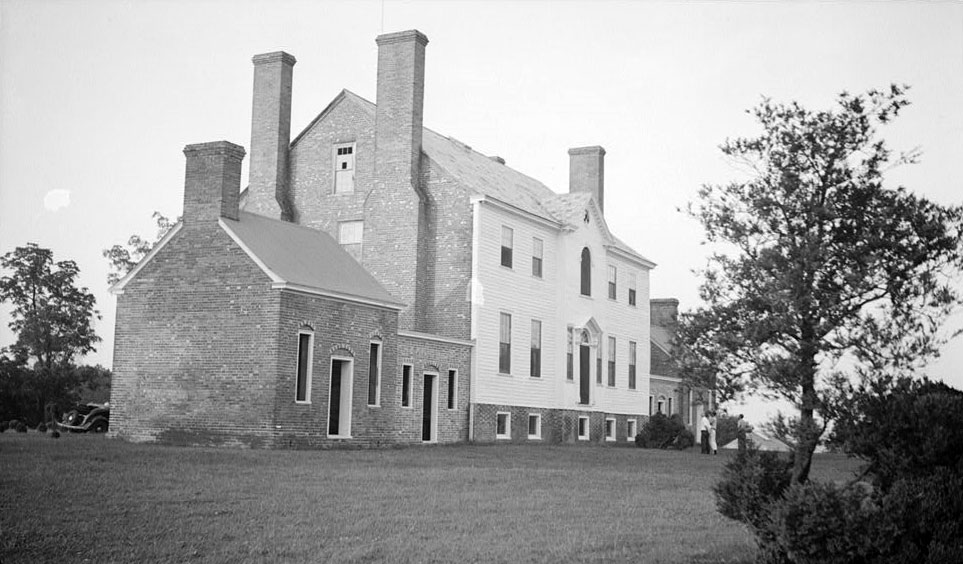
[3] Landmark name [4] Image Date listed Location City or town Summary 1 Acquinsicke February 20, 1992 Billingsley Rd. west of its junction with Maryland Route 228
38°36′30″N 77°02′14″W / 38.608333°N 77.037222°WPomfret 2 Araby July 25, 1974 Southeast of Mason on Maryland Route 425
38°34′43″N 77°06′54″W / 38.578611°N 77.115°WMason's Springs 3 Bryantown Historic District March 14, 1985 Maryland Route 5 and County Route 232
38°33′11″N 76°50′39″W / 38.553056°N 76.844167°WBryantown 4 Cedar Grove March 2, 1979 South of La Plata off Maryland Route 6 west of Blossom Point Rd.
38°28′50″N 77°04′22″W / 38.480556°N 77.072778°WLa Plata 5 Ellerslie September 24, 1979 West of Port Tobacco on Maryland Route 6
38°30′20″N 77°02′29″W / 38.505556°N 77.041389°WPort Tobacco 6 The Exchange June 7, 1984 Spring Hill-Newtown Rd.
38°30′54″N 76°58′23″W / 38.515°N 76.973056°WLa Plata 7 Green's Inheritance December 16, 1977 Northeast of Pomfret on Maryland Route 227
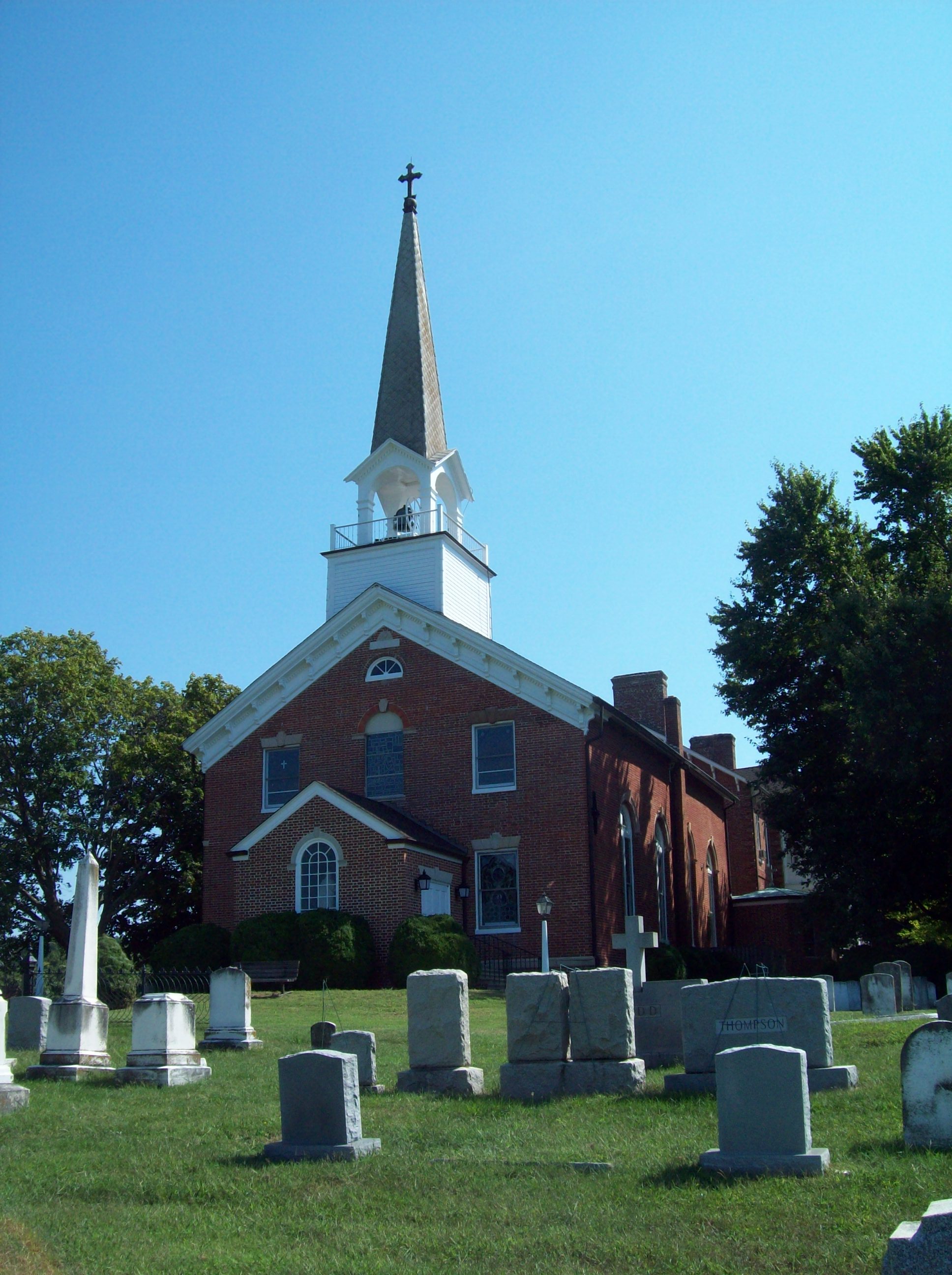
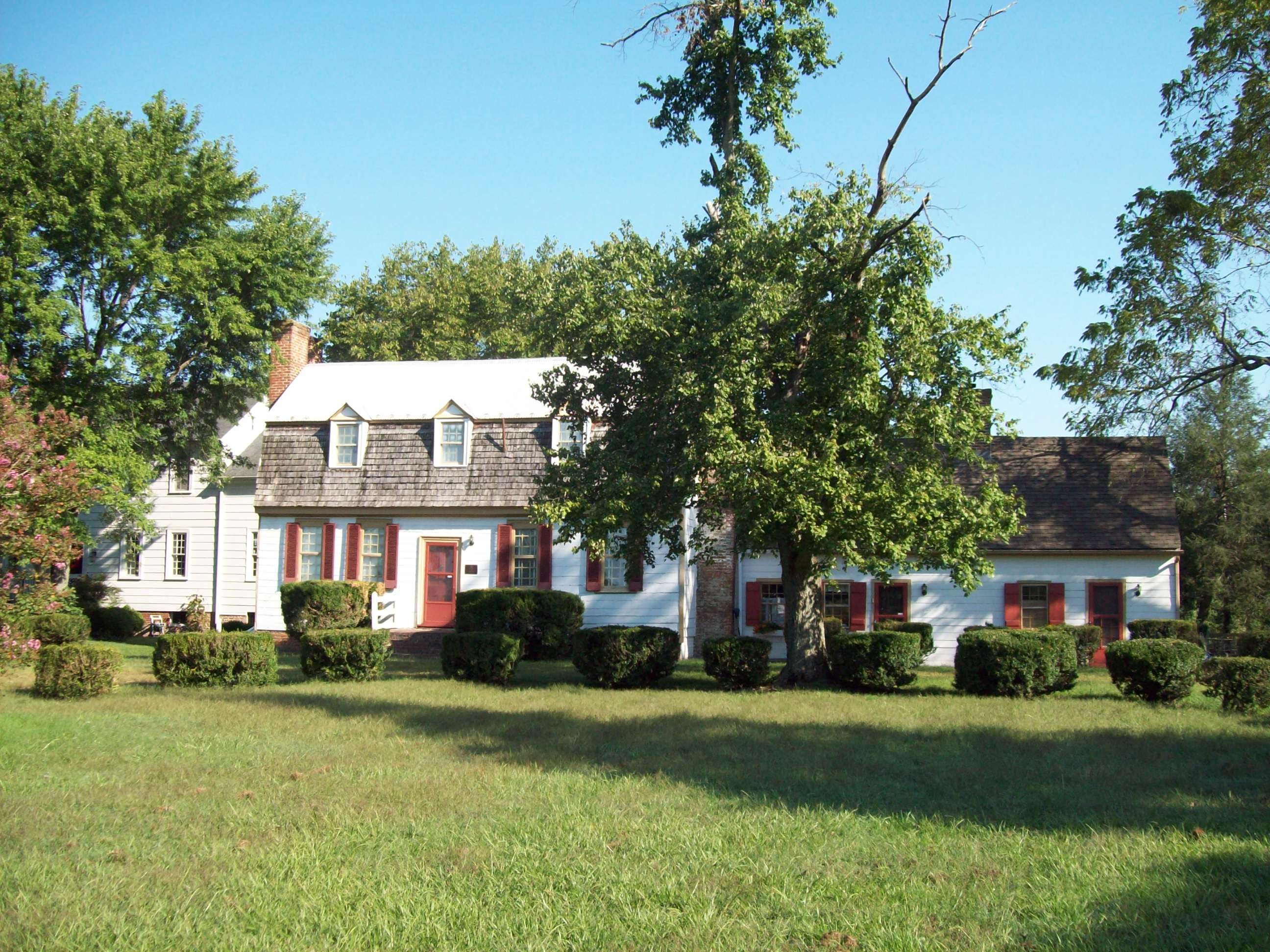
38°35′19″N 77°01′13″W / 38.588611°N 77.020278°WPomfret 8 Habre-de-Venture; Thomas Stone National Historic Site 
October 31, 1972 6655 Rose Hill Rd., near its junction with Maryland Routes 6 and 225
38°31′55″N 77°1′53″W / 38.53194°N 77.03139°WPort Tobacco 9 The Hermitage July 23, 1998 Washington Ave.
38°32′02″N 76°58′52″W / 38.533889°N 76.981111°WLa Plata 10 La Grange October 22, 1976 Maryland Route 6, west of U.S. Route 301
38°31′27″N 76°59′28″W / 38.524167°N 76.991111°WLa Plata 11 Linden November 23, 1977 North of Port Tobacco on Mitchell Rd.
38°33′16″N 77°00′46″W / 38.554444°N 77.012778°WPort Tobacco 12 The Lindens April 23, 1990 Maryland Route 488
38°33′07″N 76°52′32″W / 38.551944°N 76.875556°WBryantown 13 Locust Grove July 21, 1978 West of La Plata on Maryland Route 225
38°32′32″N 77°01′22″W / 38.542222°N 77.022778°WLa Plata 14 Marshall Hall 
May 12, 1976 5 miles north of Maryland Routes 210 and 227
38°41′06″N 77°05′55″W / 38.685°N 77.098611°WBryans Road 15 Maxwell Hall July 30, 1974 East of Patuxent on Teagues Point Rd.
38°32′04″N 76°42′01″W / 38.534444°N 76.700278°WPatuxent 16 McPherson's Purchase January 3, 1985 Maryland Route 227
38°35′56″N 77°02′51″W / 38.598889°N 77.0475°WPomfret 17 Mount Air December 22, 1978 West of Faulkner off U.S. Route 301
38°26′12″N 76°59′50″W / 38.436667°N 76.997222°WFaulkner 18 Mount Aventine April 18, 1996 1.8 miles southwest of Bryans Rd. on the northewstern side of Chapman's Landing Rd.
38°37′04″N 77°07′03″W / 38.617778°N 77.1175°WBryans Road 19 Mt. Carmel Monastery 
December 4, 1973 North of Port Tobacco on Mt. Carmel Rd.
38°33′21″N 77°00′01″W / 38.555833°N 77.000278°WPort Tobacco 20 Oak Grove November 23, 1983 Turkey Hill Rd.
38°35′10″N 76°59′10″W / 38.586111°N 76.986111°WLa Plata 21 Oakland August 4, 1983 Maryland Route 5
38°33′30″N 76°48′40″W / 38.558333°N 76.811111°WBryantown 22 Pleasant Hill December 8, 1997 9205 Marshall's Corner Rd.
38°35′18″N 76°59′37″W / 38.588333°N 76.993611°WPomfret 23 Port Tobacco Historic District 
August 4, 1989 Off Maryland Route 6
38°30′45″N 77°01′07″W / 38.5125°N 77.018611°WPort Tobacco 24 Retreat June 28, 1988 Maryland Route 484/Poor House Rd. and Maryland Route 6
38°30′38″N 77°02′48″W / 38.510556°N 77.046667°WPort Tobacco 25 Rich Hill November 12, 1975 Northeast of Bel Alton on Bel Alton-Newtown Rd.
38°28′54″N 76°57′03″W / 38.481667°N 76.950833°WBel Alton 26 Rose Hill 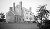
March 30, 1973 Rose Hill Rd.
38°31′19″N 77°01′42″W / 38.522°N 77.028367°WPort Tobacco 27 Rosemary Lawn April 16, 1992 Fire Tower Rd.
38°29′29″N 77°06′17″W / 38.491389°N 77.104722°WWelcome 28 Sarum August 13, 1974 Southeast of Newport off Maryland Route 234
38°24′19″N 76°53′42″W / 38.405278°N 76.895°WNewport 29 St. Catharine October 1, 1974 East of Waldorf near the junction of Maryland Routes 232 and 382
38°36′34″N 76°49′36″W / 38.609444°N 76.826667°WWaldorf 30 St. Mary's Roman Catholic Church, Newport 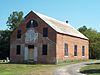
May 30, 1991 St. Mary's Church Rd.
38°25′53″N 76°54′23″W / 38.431389°N 76.906389°WNewport 31 St. Thomas Manor 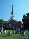
November 10, 1988 Maryland Route 427/Chapel Point Rd.
38°27′55″N 77°01′27″W / 38.465278°N 77.024167°WPort Tobacco 32 Spye Park October 4, 1990 Padgett Road
38°35′34″N 76°57′17″W / 38.592778°N 76.954722°WWhite Plains 33 Stagg Hall 
December 29, 1988 County Route 469/Chapel Point Rd.
38°30′42″N 77°01′11″W / 38.511667°N 77.019722°WPort Tobacco 34 Thainston March 28, 1990 Mitchell Rd., north of Maryland Route 225
38°34′06″N 77°00′35″W / 38.568333°N 77.009722°WLa Plata 35 Timber Neck Farm September 6, 1979 Southeast of Faulkner Rd.
38°25′52″N 76°57′08″W / 38.431111°N 76.952222°WFaulkner 36 Truman's Place January 20, 1988 Gallant Green Rd.
38°33′58″N 76°46′41″W / 38.566111°N 76.778056°WHughesville 37 Waverley August 11, 1975 Southeast of Morgantown off Wayside-Morgantown Rd.
38°20′19″N 76°57′36″W / 38.338611°N 76.96°WMorgantown Formerly listed in the county
[3] Landmark name Image Date listed Location City or town Summary a Johnsontown delisted May 11, 2006 Waldorf b Widow's Pleasure Listed April 18, 1991
delisted August 8, 2007Piney Church Rd.
38°34′50″N 76°47′38″W / 38.58056°N 76.79389°WWaldorf See also
- List of National Historic Landmarks in Maryland
- National Register of Historic Places listings in Maryland
References
- ^ The latitude and longitude information provided in this table was derived originally from the National Register Information System, which has been found to be fairly accurate for about 99% of listings. For about 1% of NRIS original coordinates, experience has shown that one or both coordinates are typos or otherwise extremely far off; some corrections may have been made. A more subtle problem causes many locations to be off by up to 150 yards, depending on location in the country: most NRIS coordinates were derived from tracing out latitude and longitudes off of USGS topographical quadrant maps created under the North American Datum of 1927, which differs from the current, highly accurate WGS84 GPS system used by Google maps. Chicago is about right, but NRIS longitudes in Washington are higher by about 4.5 seconds, and are lower by about 2.0 seconds in Maine. Latitudes differ by about 1.0 second in Florida. Some locations in this table may have been corrected to current GPS standards.
- ^ "National Register of Historic Places: Weekly List Actions". National Park Service, United States Department of the Interior. Retrieved on November 10, 2011.
- ^ a b Numbers represent an ordering by significant words. Various colorings, defined here, differentiate National Historic Landmark sites and National Register of Historic Places Districts from other NRHP buildings, structures, sites or objects.
- ^ "National Register Information System". National Register of Historic Places. National Park Service. . http://nrhp.focus.nps.gov/natreg/docs/All_Data.html.
U.S. National Register of Historic Places in Maryland Lists by county Allegany • Anne Arundel • Baltimore County • Calvert • Caroline • Carroll • Cecil • Charles • Dorchester • Frederick • Garrett • Harford • Howard • Kent • Montgomery • Prince George's • Queen Anne's • Somerset • St. Mary's • Talbot • Washington • Wicomico • Worcester
Lists by city Other lists Municipalities and communities of Charles County, Maryland Towns 
CDPs Other
communitiesBel Alton | Benedict | Bryantown | Cobb Island | Dentsville | Faulkner | Ironsides | Issue | Malcolm | Marbury | Masons | Morgantown | Mount Victoria | Nanjemoy | Newburg | Newport | Patuxent | Pisgah | Pomfret | Popes Creek | Pomonkey | Ripley | Rison | Riverside | Rock Point | Swan Point | Welcome | White Plains
Categories:- National Register of Historic Places in Maryland by county
- Charles County, Maryland
-


Wikimedia Foundation. 2010.