- National Register of Historic Places listings in Cleveland, Ohio
-
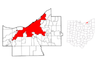 Cleveland highlighted on a map of Cuyahoga County.
This is a list of the National Register of Historic Places listings in Cleveland, Ohio.
This is intended to be a complete list of the properties and districts on the National Register of Historic Places in Cleveland, Ohio, United States. Latitude and longitude coordinates are provided for many National Register properties and districts; these locations may be seen together in a Google map.[1]
There are 351 properties and districts listed on the National Register in Cuyahoga County, including 4 National Historic Landmarks. The city of Cleveland is the location of 218 of these properties and districts, including 3 of the National Historic Landmarks; they are listed here, while the remainder are listed separately. Three properties and districts are split between Cleveland and other parts of the county, and are thus included on both lists. Another property in Cleveland was once listed but has been removed.
-
- This National Park Service list is complete through NPS recent listings posted November 10, 2011.[2]
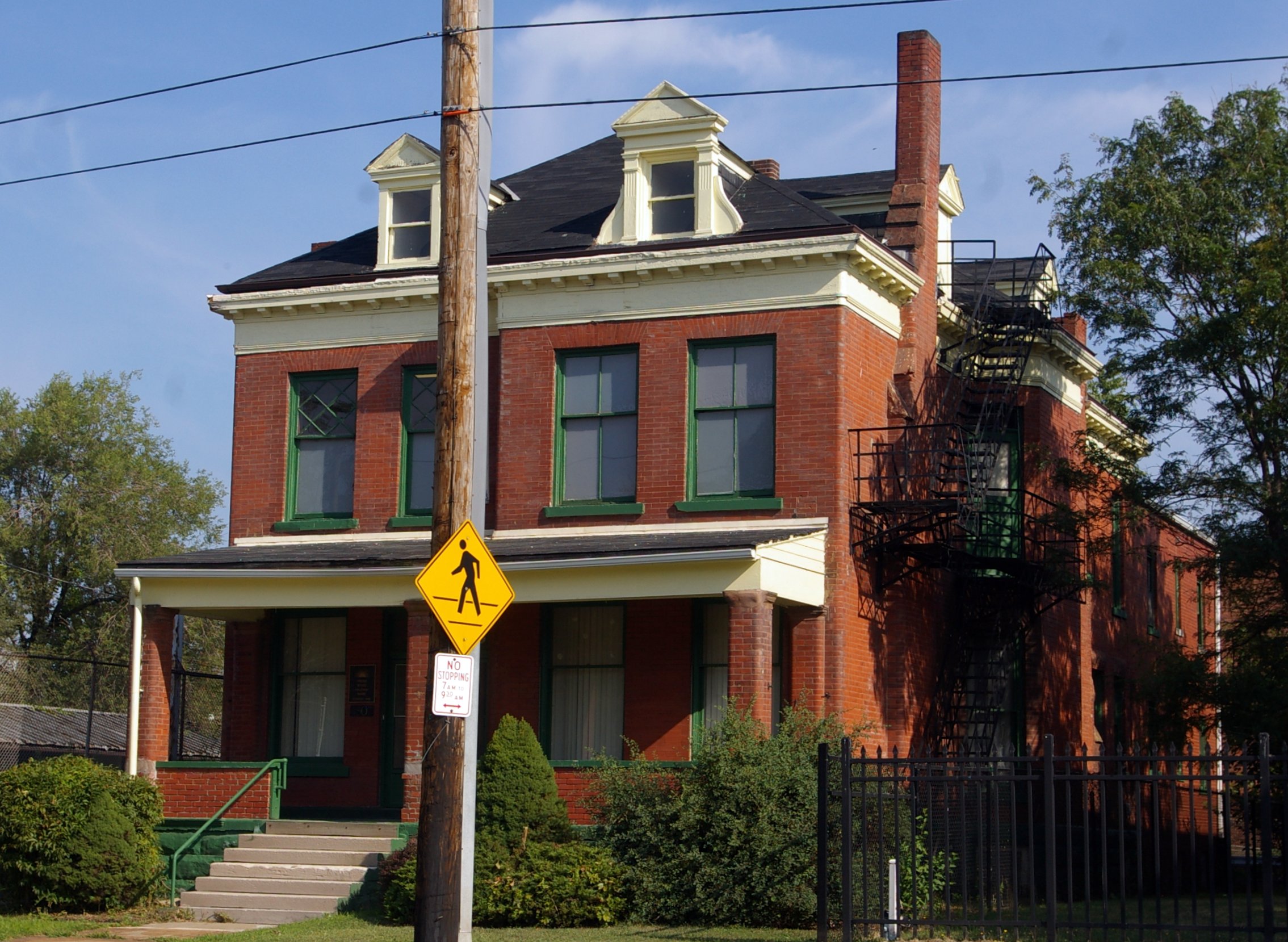
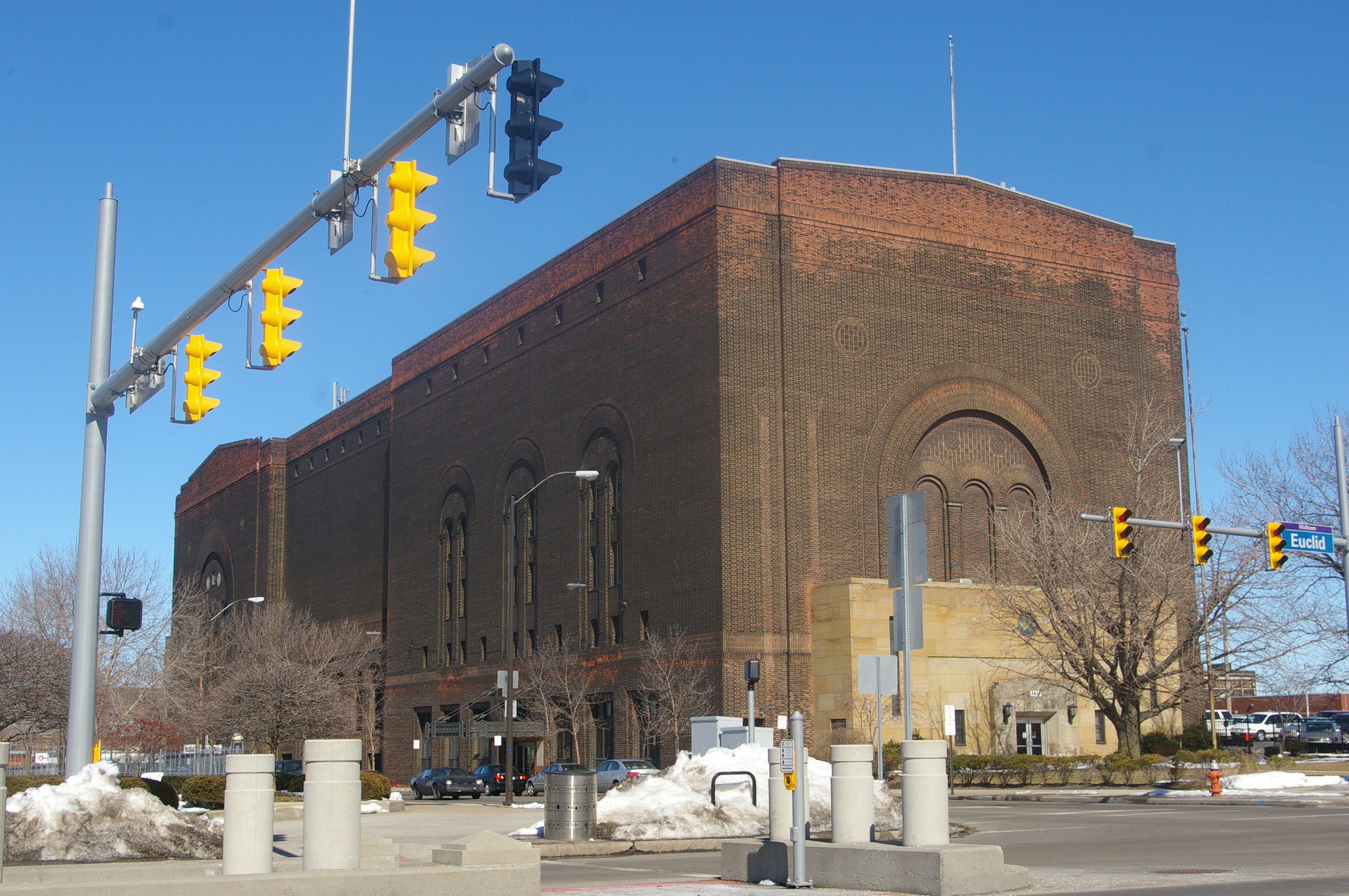
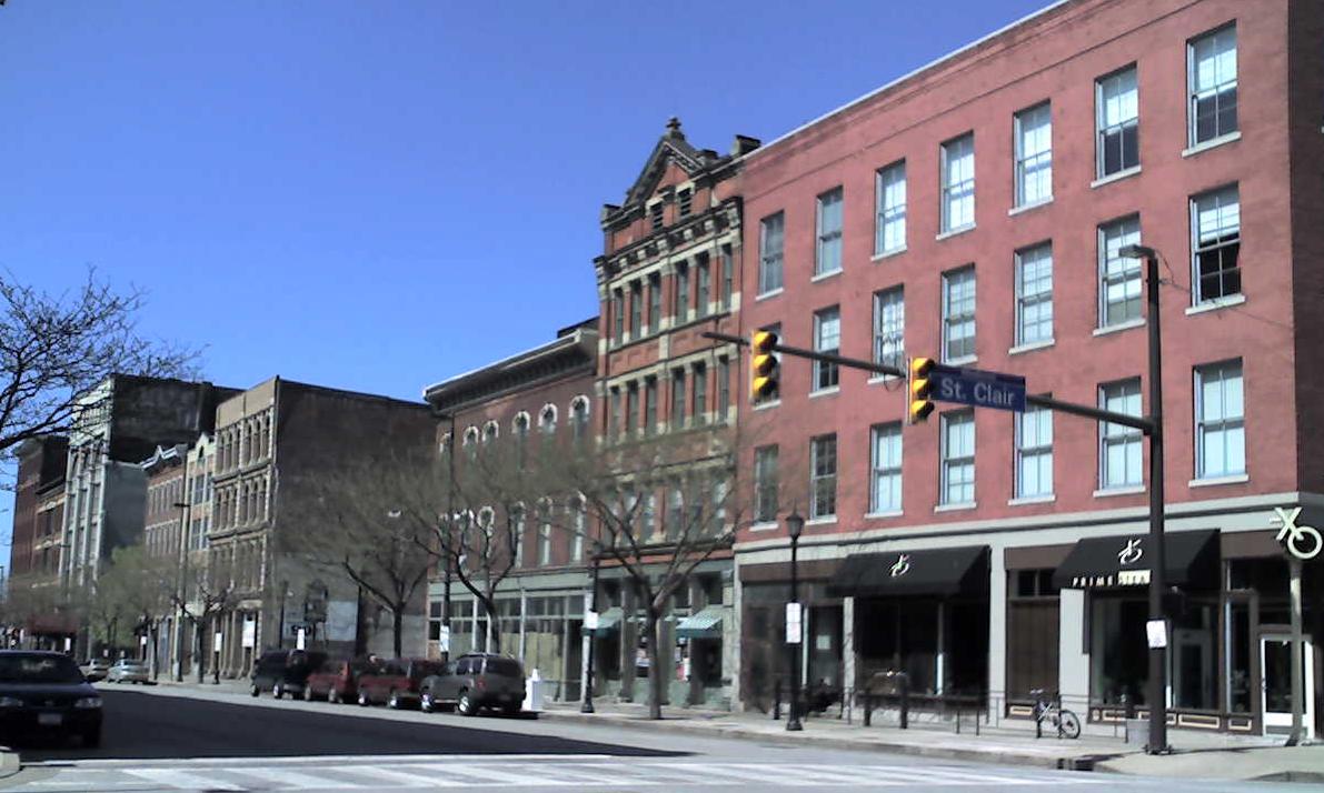
Current listings
[3] Landmark name[4] Image Date listed Location Summary 1 Adelbert Hall, Case Western Reserve University 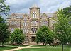
October 30, 1973 Case Western Reserve University campus
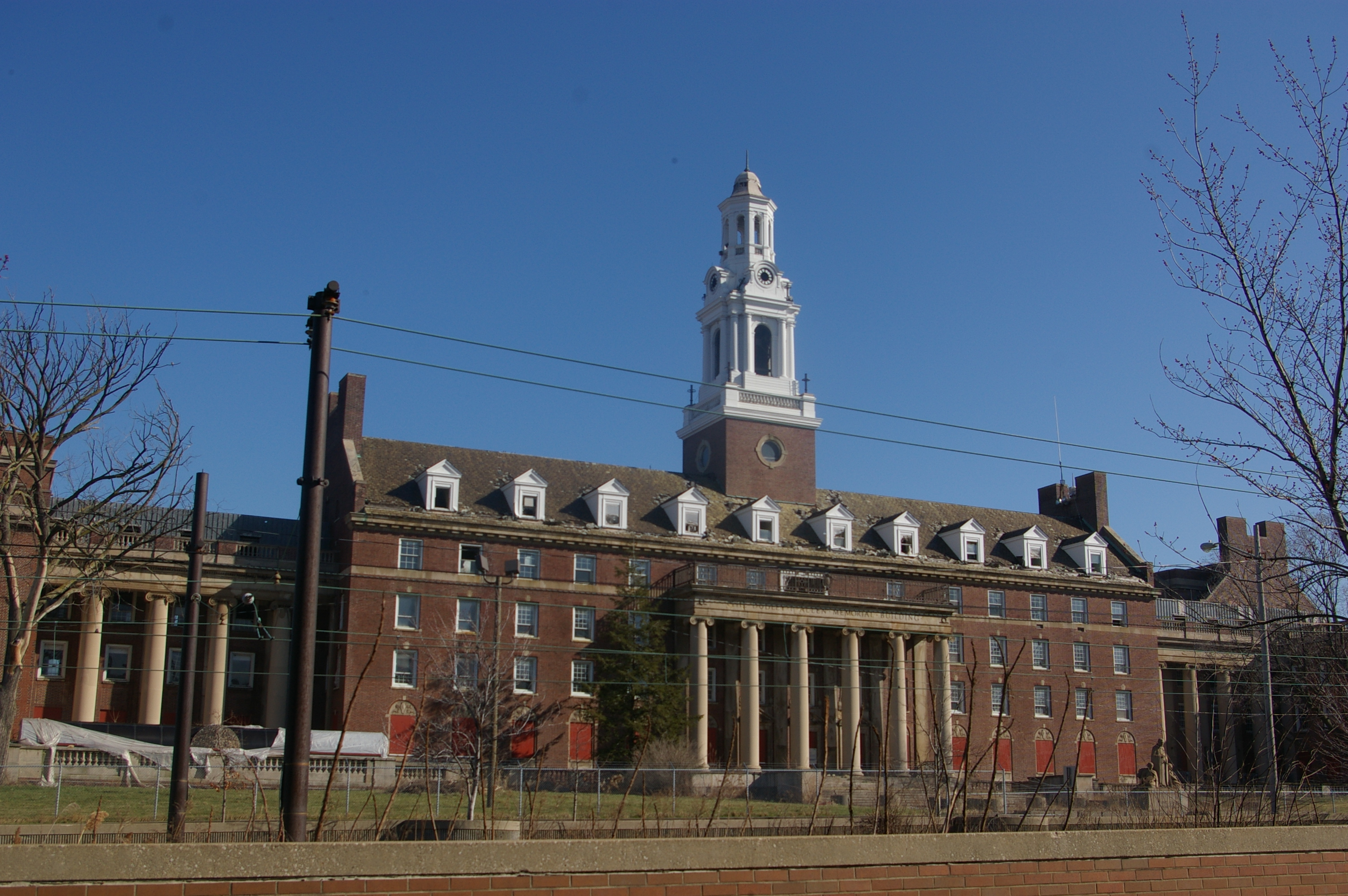
41°30′18″N 81°36′30″W / 41.505°N 81.60833°WAn administration building at Case Western Reserve University, built in 1881 to serve as the home of Western Reserve College and named after Adelbert Stone, the son of industrialist Amasa Stone. The building was gutted by a fire in June 1991, and restoration of the building was completed in 1993.[5] 2 Allen Memorial Medical Library 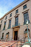
November 30, 1982 11000 Euclid Ave.
41°30′22″N 81°36′31″W / 41.50611°N 81.60861°WCase Western Reserve University building on Euclid Avenue, designed in a classical revival style by the Cleveland firm of Walker and Weeks and completed in 1926.[6][4] 3 Alta Public Library October 4, 2005 12510 Mayfield Rd.
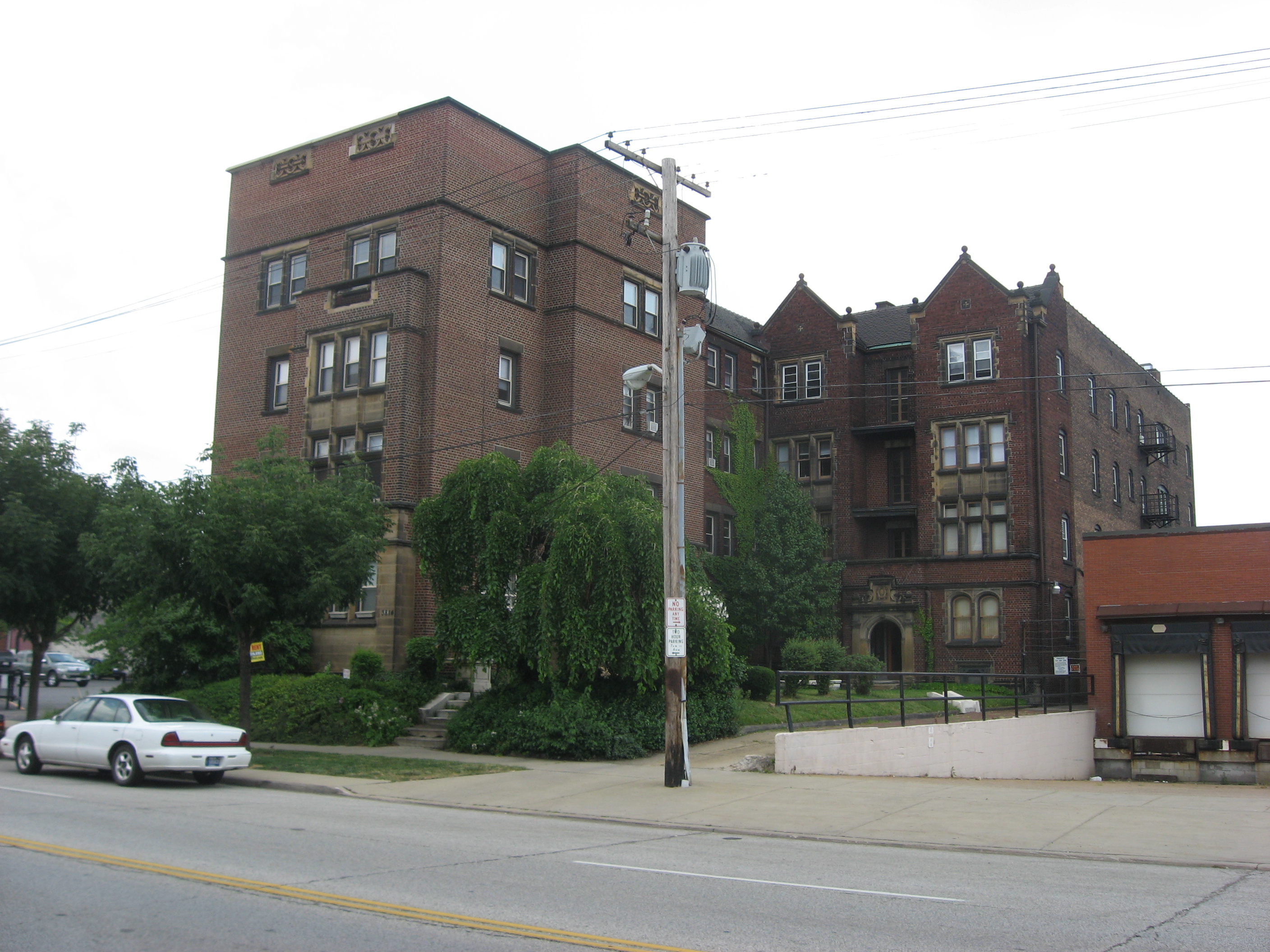
41°30′29″N 81°35′46″W / 41.50806°N 81.59611°W4 Ansel Road Apartment Buildings Historic District July 2, 2008 1588 Ansel Rd to 9501 Wade Park Ave.
41°30′52.61″N 81°37′11.86″W / 41.5146139°N 81.6199611°W5 Archwood Avenue Historic District March 19, 1987 Archwood Ave. roughly bounded by W. 31st Pl. and W. 37th St.
41°27′10″N 81°42′25″W / 41.45278°N 81.70694°W6 Archwood Congregational Church May 13, 1994 2800 Archwood Ave.
41°27′11″N 81°42′11″W / 41.45306°N 81.70306°W7 Baker Motor Vehicle Company Building 
February 21, 2007 7100-7122 Euclid Ave.
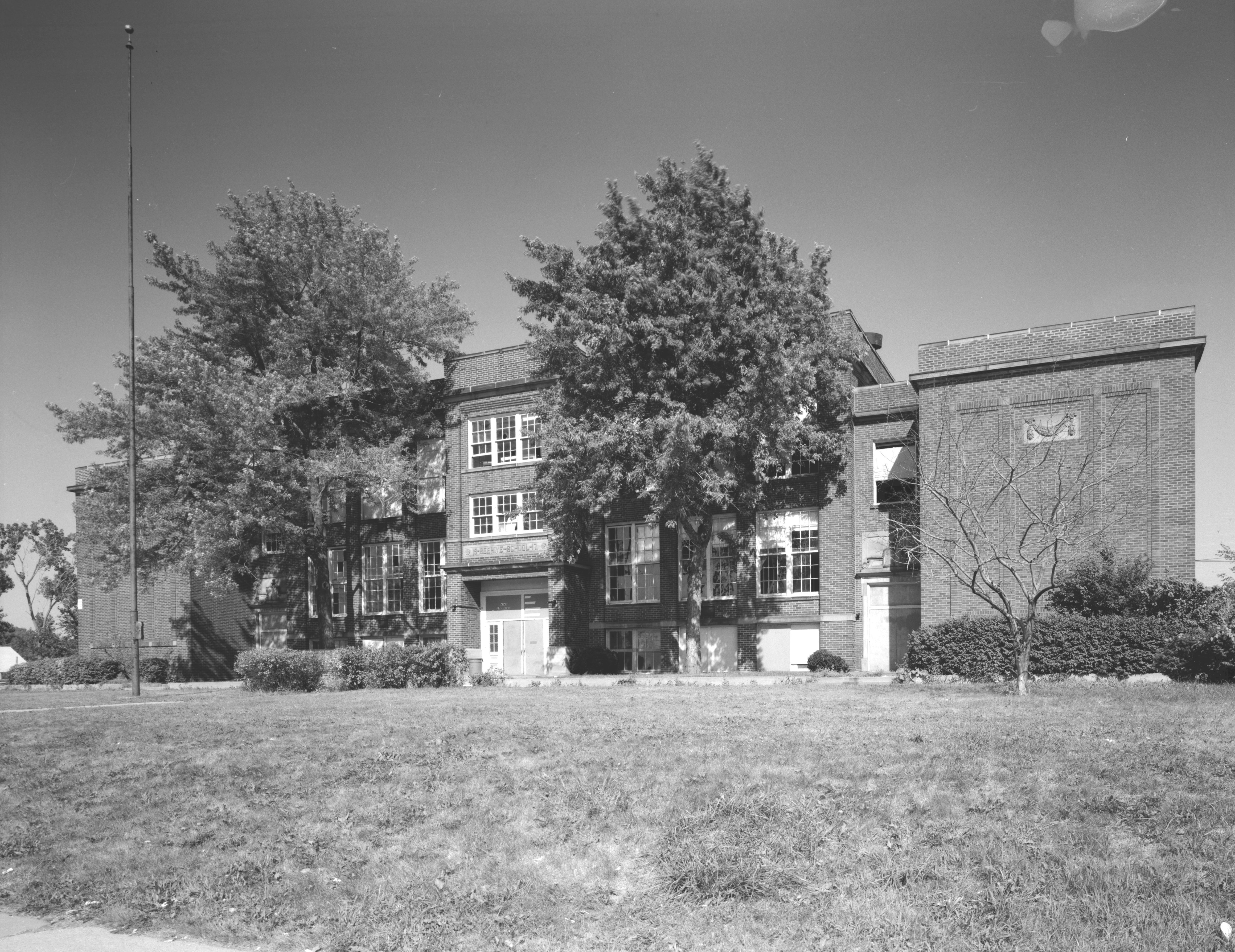
41°30′14″N 81°38′21″W / 41.50389°N 81.63917°W8 Beehive School 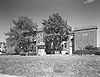
April 5, 1984 4345 Lee Rd.
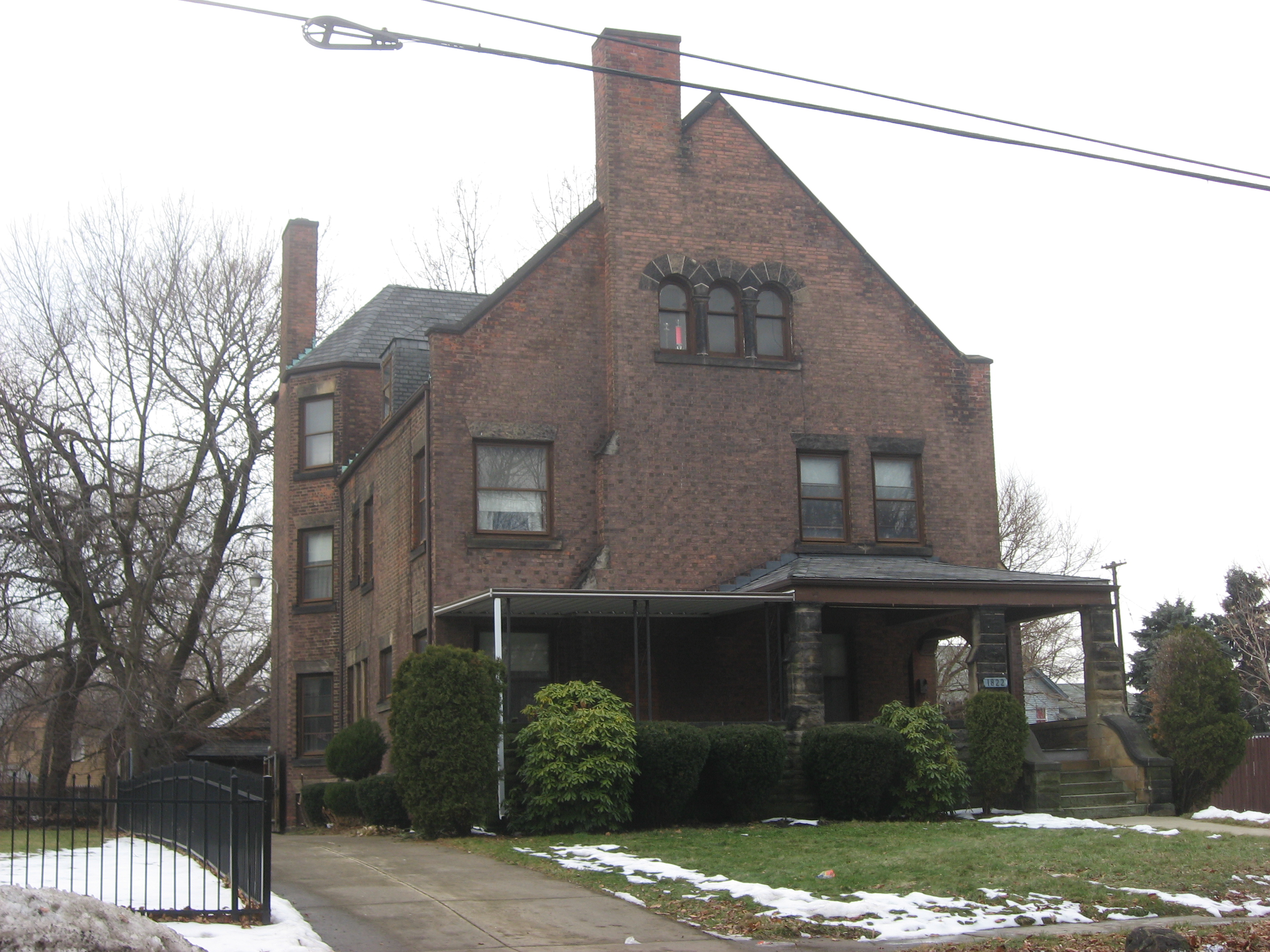
41°26′6.29″N 81°33′53.1″W / 41.4350806°N 81.56475°WDemolished.[7] 9 Dr. James Bell House 
October 16, 1986 1822 E. 89th St.
41°30′57″N 81°37′28″W / 41.51583°N 81.62444°W10 Sarah Benedict House 
November 1, 1984 3751 Prospect Ave.
41°30′8″N 81°39′41″W / 41.50222°N 81.66139°W11 Bingham Company Warehouse 
November 2, 1973 1278 W. 9th St.
41°29′56″N 81°42′5″W / 41.49889°N 81.70139°W12 H. Black and Company Building January 24, 2002 1900-2000 or 2010 Superior Ave.
41°30′24″N 81°40′45″W / 41.50667°N 81.67917°W13 Body Block 
September 18, 1998 4925-4955 Payne Ave., 1692-1696 E. 55th St.
41°30′46″N 81°39′9″W / 41.51278°N 81.6525°W14 Bohemian National Hall May 28, 1975 4939 Broadway St.
41°28′20″N 81°39′23″W / 41.47222°N 81.65639°W15 Bomante House March 19, 1987 3000 Mapledale Ave.
41°27′14″N 81°42′7″W / 41.45389°N 81.70194°W16 Broadway Avenue Historic District October 19, 1988 Broadway and Hamlet Aves. and E. 55th St.
41°28′1″N 81°39′2″W / 41.46694°N 81.65056°W17 Brooklyn Bank Building July 19, 1984 3764 W. 25th St.
41°27′8″N 81°42′7″W / 41.45222°N 81.70194°W18 Brooklyn Centre Historic District March 4, 1999 Roughly bounded by Interstate 71, Pearl Rd., and Big Creek Valley
41°27′5″N 81°42′31″W / 41.45139°N 81.70861°W19 Brownell School and Annex February 1, 2006 1300-1360 Sumner St.
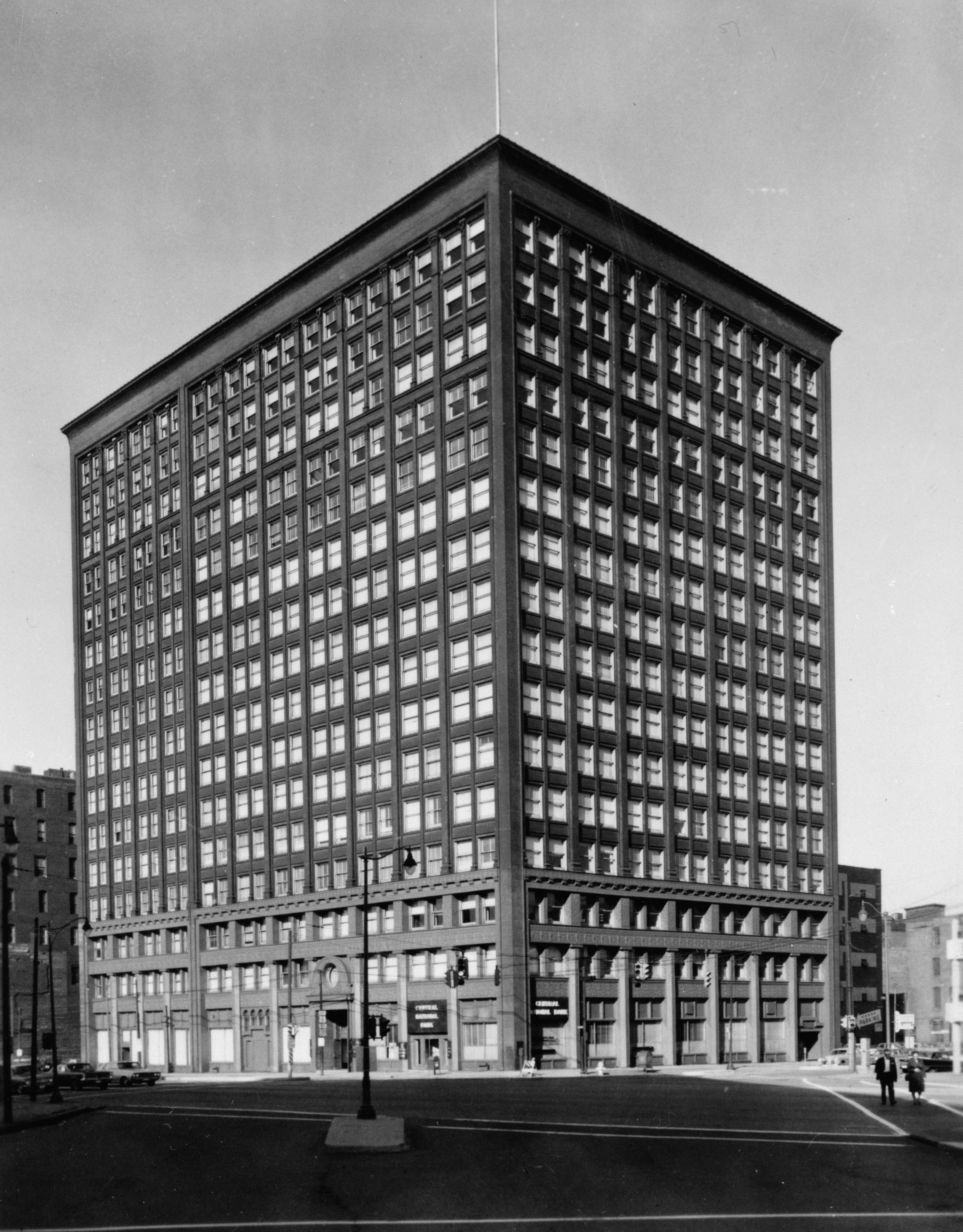
41°29′52″N 81°40′49″W / 41.49778°N 81.68028°W20 Caxton Building 
October 30, 1973 812 Huron Rd., SE.
41°29′54″N 81°41′10″W / 41.49833°N 81.68611°W21 Cedar Glen Apartments June 17, 1994 11424-11432 Cedar Glen Parkway
41°29′58″N 81°36′16″W / 41.49944°N 81.60444°W22 Central YMCA 
November 1, 1984 2200 Prospect Ave.
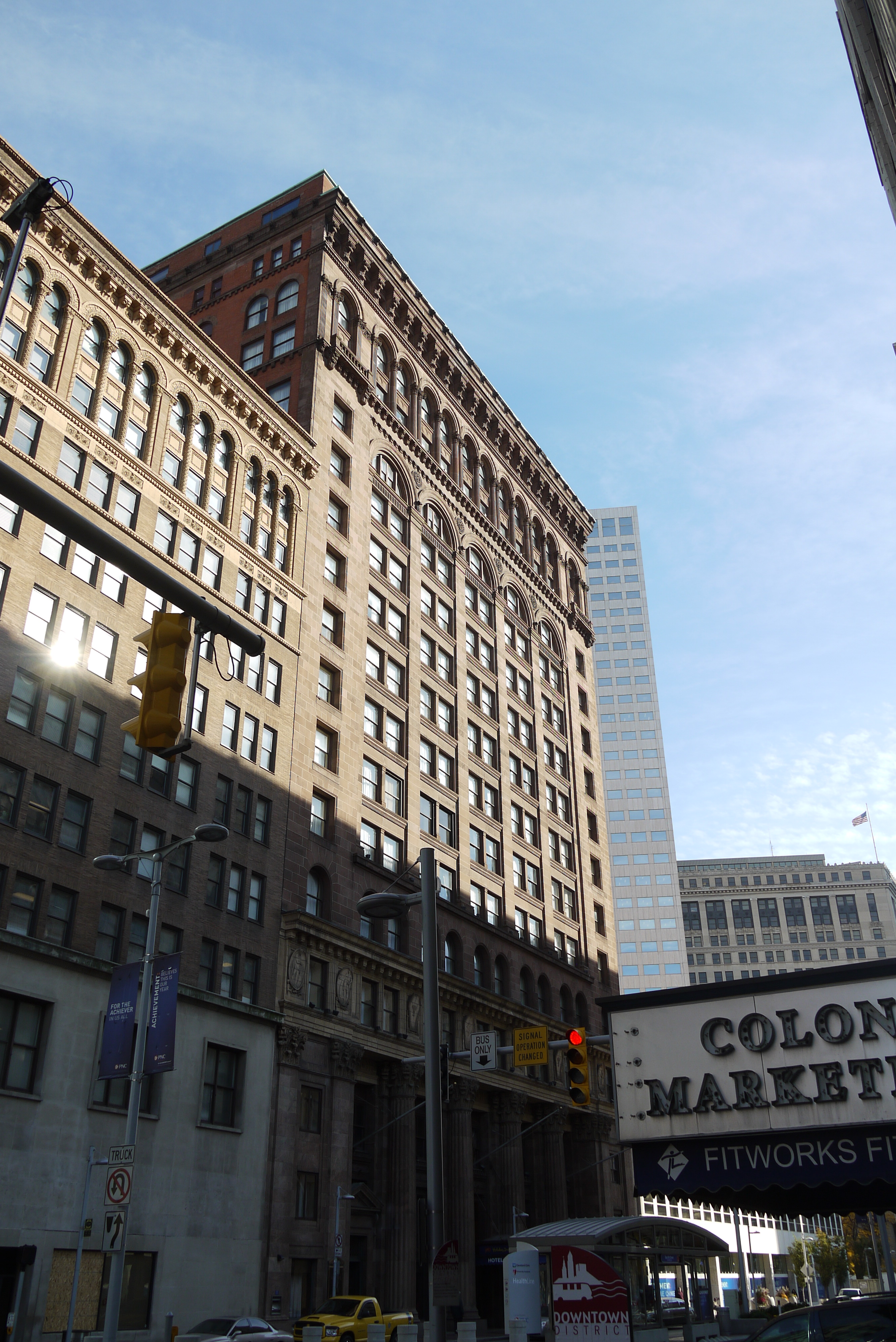
41°29′59″N 81°40′26″W / 41.49972°N 81.67389°W23 Cermak Building October 18, 1984 3503 E. 93rd St.
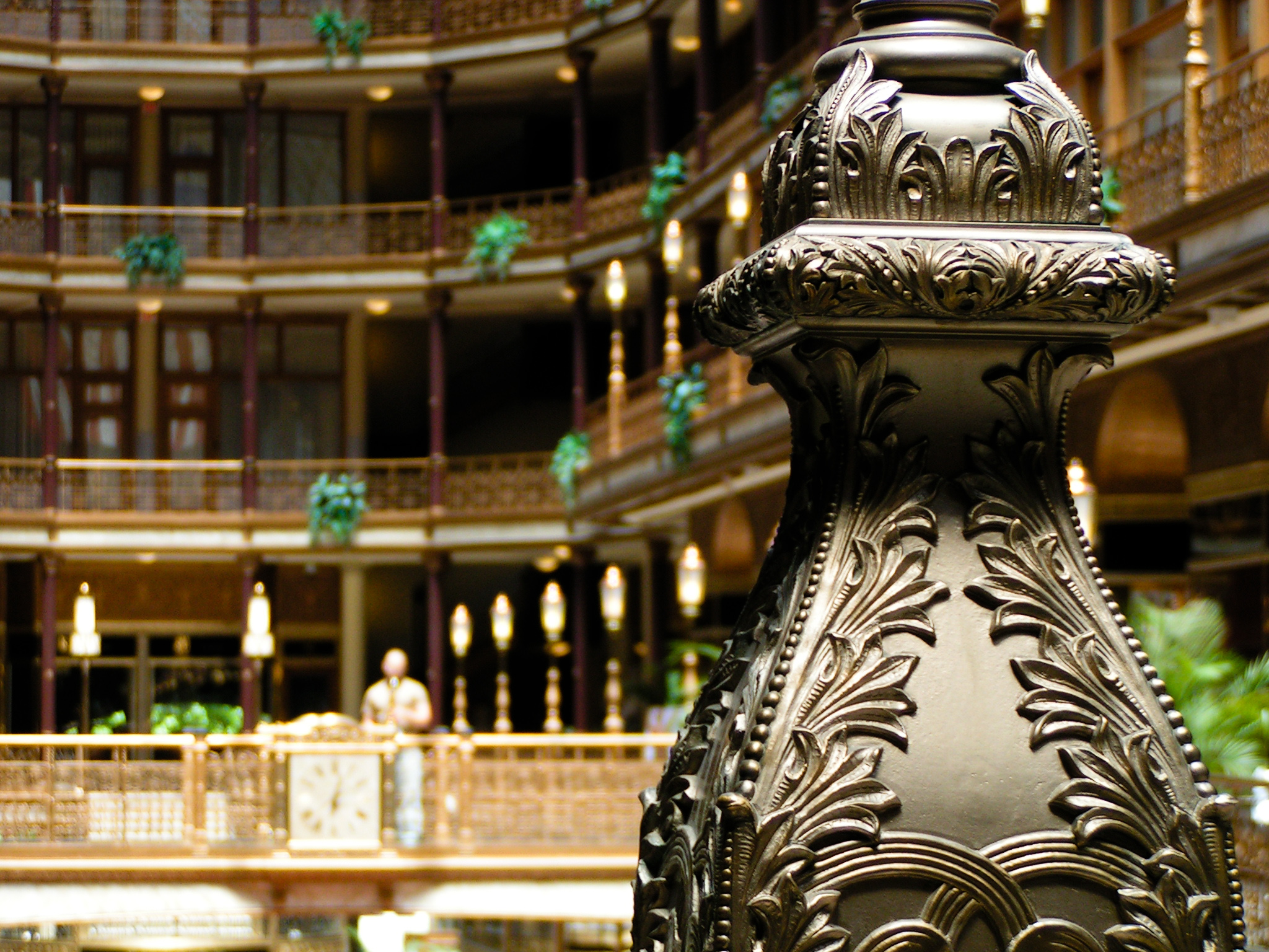
41°27′48″N 81°37′16″W / 41.46333°N 81.62111°W24 Cleveland Arcade 
March 20, 1973 401 Euclid Ave.
41°29′58″N 81°41′36″W / 41.49944°N 81.69333°W25 Cleveland Club 
February 28, 2008 10660 Carnegie Ave.
41°30′2″N 81°36′47″W / 41.50056°N 81.61306°W26 Cleveland Dental Manufacturing Company Building September 3, 2004 3307 Scranton Rd.
41°27′48″N 81°41′54″W / 41.46333°N 81.69833°W27 Cleveland Discount Building October 2, 1991 815 Superior Ave., NE.
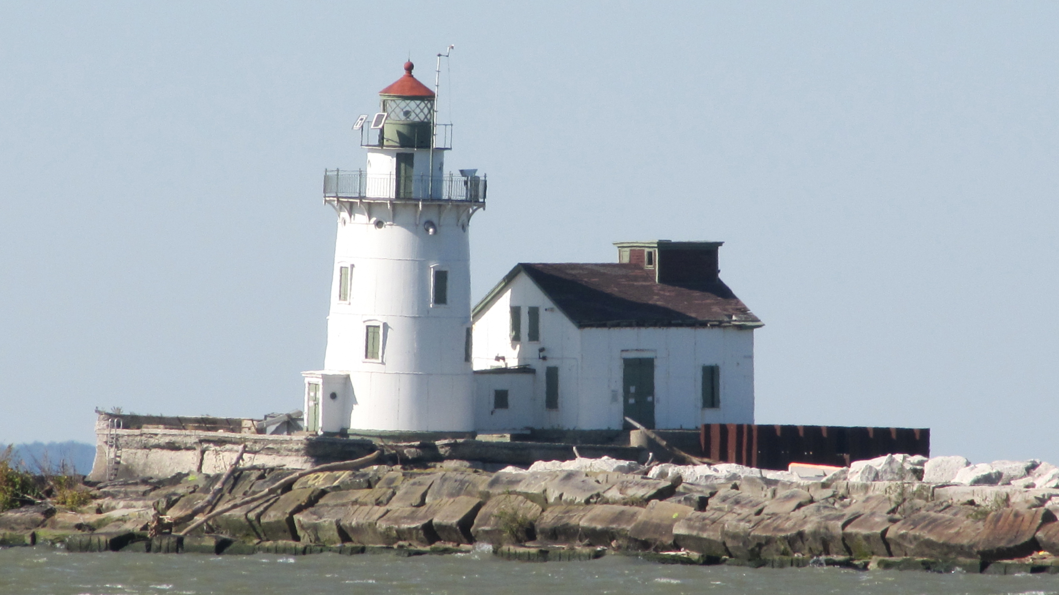
41°30′10″N 81°41′24″W / 41.50278°N 81.69°W28 Cleveland East Pierhead Light December 19, 1991 Eastern breakwater pierhead, entrance to Cleveland harbor
41°30′37″N 81°42′55″W / 41.51028°N 81.71528°W29 Cleveland Grays Armory 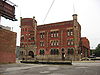
March 28, 1973 1234 Bolivar Rd.
41°29′56″N 81°40′56″W / 41.49889°N 81.68222°W30 Cleveland Harbor Station, U.S. Coast Guard 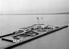
January 1, 1976 New West Pier
41°30′11″N 81°42′46″W / 41.50306°N 81.71278°W31 Cleveland Home for Aged Colored People 
December 17, 1982 4807 Cedar Ave.
41°30′2″N 81°39′14″W / 41.50056°N 81.65389°W32 Cleveland Mall 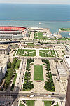
June 10, 1975 Roughly T-shaped mall area between E. 9th and W. 3rd Sts.
41°30′14″N 81°41′36″W / 41.50389°N 81.69333°W33 Cleveland Masonic Temple 
August 17, 2001 3615 Euclid Ave.
41°30′13″N 81°39′44″W / 41.50361°N 81.66222°W34 Cleveland Municipal Stadium 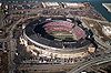
November 13, 1987 Erieview Dr.
41°30′24″N 81°41′50″W / 41.50667°N 81.69722°WDemolished in 1996 35 Cleveland Packard Building 
November 1, 1984 5100-5206 Prospect Ave.
41°30′9″N 81°39′11″W / 41.5025°N 81.65306°W36 Cleveland Public Square 
December 18, 1975 Superior Ave. and Ontario St.
41°29′59″N 81°41′38″W / 41.49972°N 81.69389°W37 Cleveland Trust Company 
November 26, 1973 900 Euclid Ave. at E. 9th St.
41°30′0″N 81°41′9″W / 41.5°N 81.68583°W38 Cleveland Warehouse District 
September 30, 1982 Roughly bounded by Front and Superior Aves. and Railroad, Summit, 3rd, and 10th Sts.; also 1384-1410 W. 10th St.
41°30′0″N 81°42′3″W / 41.5°N 81.70083°W10th St. addresses represent a boundary increase 39 Cleveland West Pierhead Light 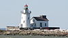
August 4, 1983 Cleveland Harbor on Lake Erie
41°30′32″N 81°43′4″W / 41.50889°N 81.71778°W40 Cleveland Worsted Mills Company August 8, 1985 5846-6116 Broadway
41°27′51″N 81°38′56″W / 41.46417°N 81.64889°WDestroyed by fire, July 4, 1993.[8] 41 Clinton Apartments March 29, 2006 3607 Clinton Ave.
41°29′13″N 81°42′50″W / 41.48694°N 81.71389°W42 Colonial and Euclid Arcades May 8, 1987 508 and 600 Euclid Ave.
41°29′56″N 81°41′21″W / 41.49889°N 81.68917°W43 Cook Building 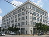
November 1, 1984 4600-4800 Prospect Ave.
41°30′8″N 81°39′18″W / 41.50222°N 81.655°W44 Corlett Building October 29, 2003 1923-35 Euclid Ave.
41°30′5″N 81°40′41″W / 41.50139°N 81.67806°W45 The Courtland November 2, 2000 5403 Detroit Ave.
41°29′7″N 81°43′28″W / 41.48528°N 81.72444°W46 Justus L. Cozad House 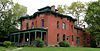
January 18, 1974 11508 Mayfield Rd.
41°30′29″N 81°36′11″W / 41.50806°N 81.60306°W47 Crawford-Tilden Apartments 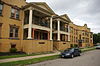
March 21, 1978 1831-1843 Crawford Rd. and 1878-1888 E. 84th St.
41°30′25″N 81°37′45″W / 41.50694°N 81.62917°WThe structure, built in 1908, is notable partially because of the way it is situated on a triangular piece of land, not unlike the Flatiron Building. 48 Andrew Dall, Jr., and James Dall Houses 
July 19, 1984 2225 and 2229 E. 46th St.
41°29′52″N 81°39′14″W / 41.49778°N 81.65389°W49 Detroit-Superior High Level Bridge 
January 18, 1974 Over the Cuyahoga River valley between Detroit Ave. and Superior Ave.
41°29′39″N 81°42′9″W / 41.49417°N 81.7025°W50 Division Avenue Pumping Station 
January 18, 1974 Division Ave., at the foot of W. 45th St.
41°29′24″N 81°43′0″W / 41.49°N 81.716667°W51 Dixon Hall Apartments 
November 1, 1984 3814 Prospect Ave.
41°30′6″N 81°39′36″W / 41.50167°N 81.66°W52 Doan School 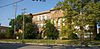
August 23, 1984 1350 E. 105th St.
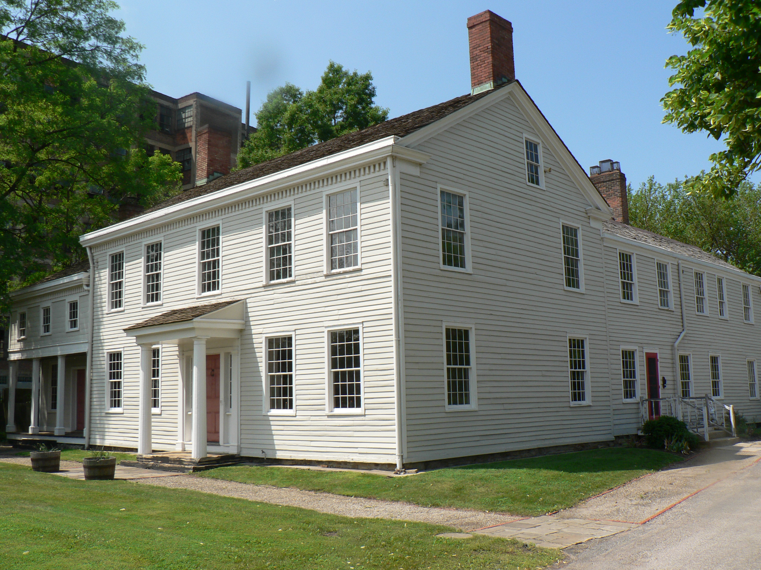
41°31′13″N 81°36′58″W / 41.52028°N 81.61611°W53 Dunham Tavern 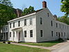
July 25, 1974 6709 Euclid Ave.
41°30′17″N 81°38′19″W / 41.50472°N 81.63861°W54 East 89th Street Historic District 
May 26, 1988 E. 89th St. roughly between Chester and Hough Aves.
41°30′30″N 81°37′31″W / 41.50833°N 81.62528°W55 East Boulevard Historic District November 29, 1995 Roughly bounded by East Boulevard, St. Clair Ave., E. 99th St. and University Cir.
41°31′27″N 81°37′16″W / 41.52417°N 81.62111°W56 East Fourth Street Historic District 
July 9, 1987 Roughly on E. 4th St. between Euclid and Prospect Aves.
41°29′57″N 81°41′24″W / 41.49917°N 81.69°W57 East Ohio Gas Company Building February 20, 2003 1403 E. 6th St.
41°30′9″N 81°41′29″W / 41.5025°N 81.69139°W58 Jeremiah Ensworth House 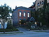
November 1, 1984 3214 Prospect Ave.
41°30′4″N 81°39′50″W / 41.50111°N 81.66389°W59 Erie Railroad Cleveland Powerhouse July 19, 1984 1246 River Rd.
41°29′47″N 81°42′42″W / 41.49639°N 81.71167°W60 Euclid Avenue Historic District 
June 28, 2002 Roughly bounded by Public Square, Euclid Ave. to E. 17th St., and E. 21st St.; also 205 St. Clair Ave., 1370 Ontario St., and 1796-1808 E. 13th St.
41°30′2″N 81°41′12″W / 41.50056°N 81.68667°WSecond set of boundaries represents a boundary increase 61 Euclid Avenue Presbyterian Church 
March 12, 1980 11205 Euclid Ave.
41°30′30″N 81°36′27″W / 41.50833°N 81.6075°W62 The Euclid-Seventy-First Street Building 
August 8, 1996 7002-7030 Euclid Ave.
41°30′15″N 81°38′25″W / 41.50417°N 81.64028°W63 Fairhill Road Village Historic District May 10, 1990 12309-12511 Fairhill Rd.
41°29′36″N 81°35′47″W / 41.49333°N 81.59639°WExtends into Cleveland Heights, elsewhere in Cuyahoga County[9] 64 Federal Knitting Mills Building January 16, 2001 2860-2894 Detroit Ave.; also 2820 and 2811-21 Vermont Ave.
41°29′20″N 81°42′49″W / 41.48889°N 81.71361°WVermont Ave. addresses represent a boundary increase 65 Federal Reserve Bank of Cleveland 
October 8, 1976 E. 6th St. and Superior Ave.
41°30′6″N 81°41′26″W / 41.50167°N 81.69056°W66 First Church of Christ, Scientist February 20, 2003 2200 Overlook Rd.
41°30′11″N 81°35′59″W / 41.50306°N 81.59972°W67 First Methodist Church 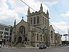
September 1, 1995 3000 Euclid Ave.
41°30′8″N 81°40′1″W / 41.50222°N 81.66694°W68 Ford Motor Company Cleveland Plant 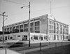
March 17, 1976 11610 Euclid Ave.
41°30′38″N 81°36′10″W / 41.51056°N 81.60278°W69 Forest City Bank Building August 31, 1992 1400 W. 25th St.
41°29′27″N 81°42′27″W / 41.49083°N 81.7075°W70 Forest City Brewery May 3, 1976 6920-6922 Union Ave.
41°27′47″N 81°38′25″W / 41.46306°N 81.64028°W71 Franklin Boulevard Historic District May 31, 1989 Franklin Boulevard from W. 52nd to W. 38th Sts.
41°29′6″N 81°43′6″W / 41.485°N 81.71833°W72 Franklin Boulevard-West Clinton Avenue Historic District December 6, 1993 5207-7625 Franklin Boulevard and 5802-7325 W. Clinton Ave.; also 6801-7003 and 7319-7405 Detroit Ave.
41°28′57″N 81°43′49″W / 41.4825°N 81.73028°WDetroit Ave. addresses represent a boundary increase 73 Phillip Gaensslen House 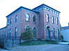
November 1, 1984 3050 Prospect Ave.
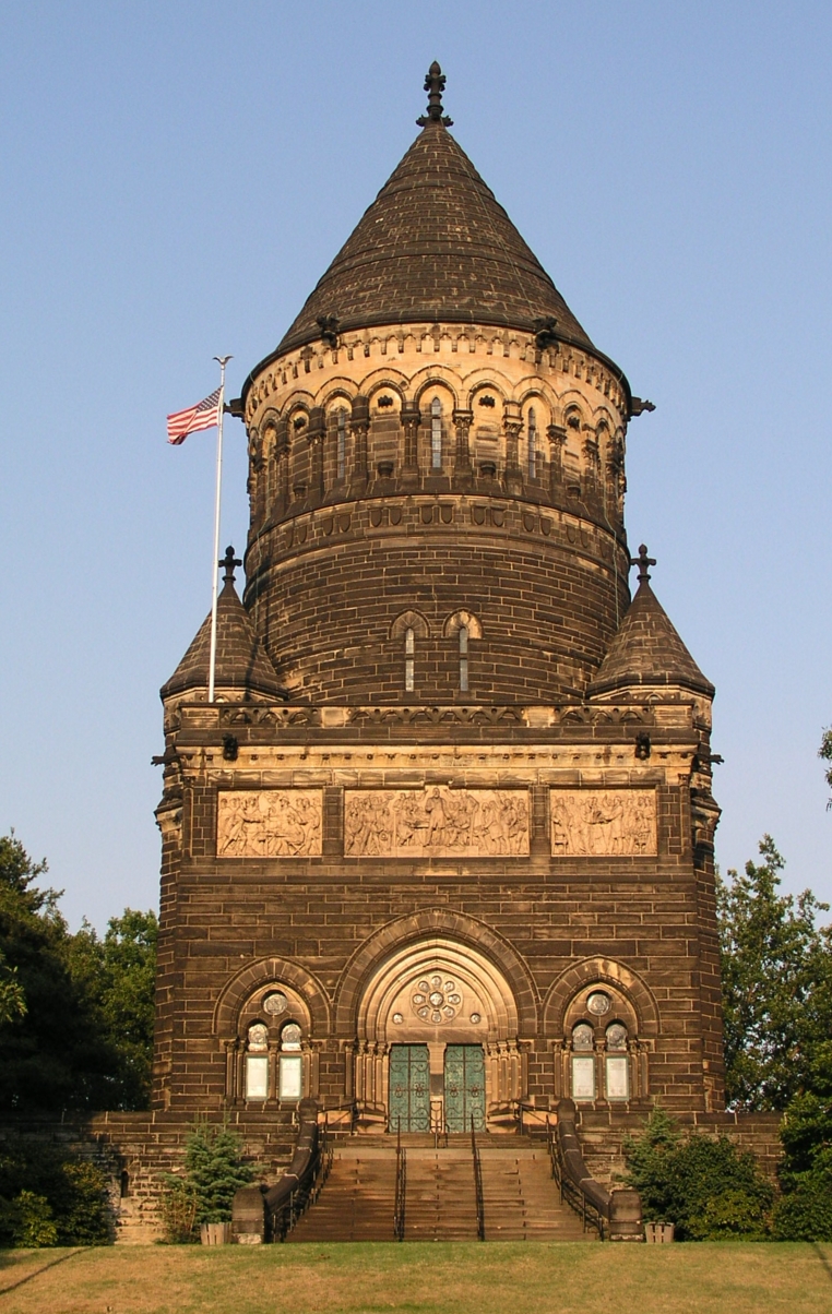
41°30′3″N 81°39′58″W / 41.50083°N 81.66611°W74 Garfield Memorial 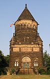
April 11, 1973 12316 Euclid Ave. in Lake View Cemetery
41°30′36″N 81°35′29″W / 41.51°N 81.59139°WExtends into Cleveland Heights, elsewhere in Cuyahoga County[10] 75 Dr. William Gifford House 
November 1, 1984 3047 Prospect Ave.
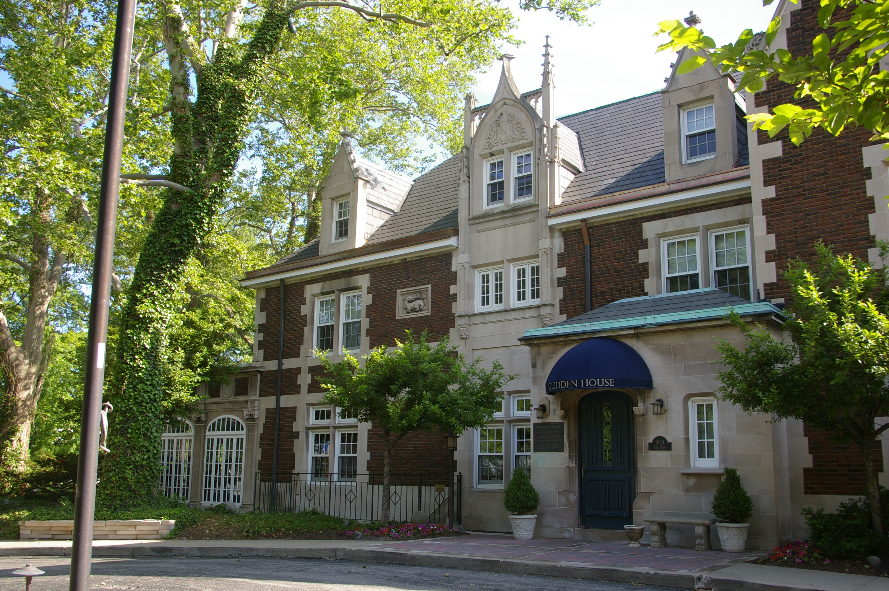
41°30′5″N 81°39′58″W / 41.50139°N 81.66611°W76 Francis K. Glidden House 
February 8, 1988 1901 Ford Dr.
41°30′40″N 81°36′30″W / 41.51111°N 81.60833°W77 Globe Iron Works Building March 17, 1994 2320 Center St.
41°29′45″N 81°42′32″W / 41.49583°N 81.70889°W78 Jacob Goldsmith House March 8, 1978 2200 E. 40th St.
41°29′53″N 81°39′26″W / 41.49806°N 81.65722°WThe structure was demolished in January, 1989, the result of arson damage the preceding November.[11] 79 Gordon Square Building April 30, 1985 6500-6616 Detroit Ave. and 1396-1490 W. 65th St.
41°29′3″N 81°43′51″W / 41.48417°N 81.73083°W80 Gordon Square Historic District October 25, 2002 Detroit Ave. and W. 65th St.
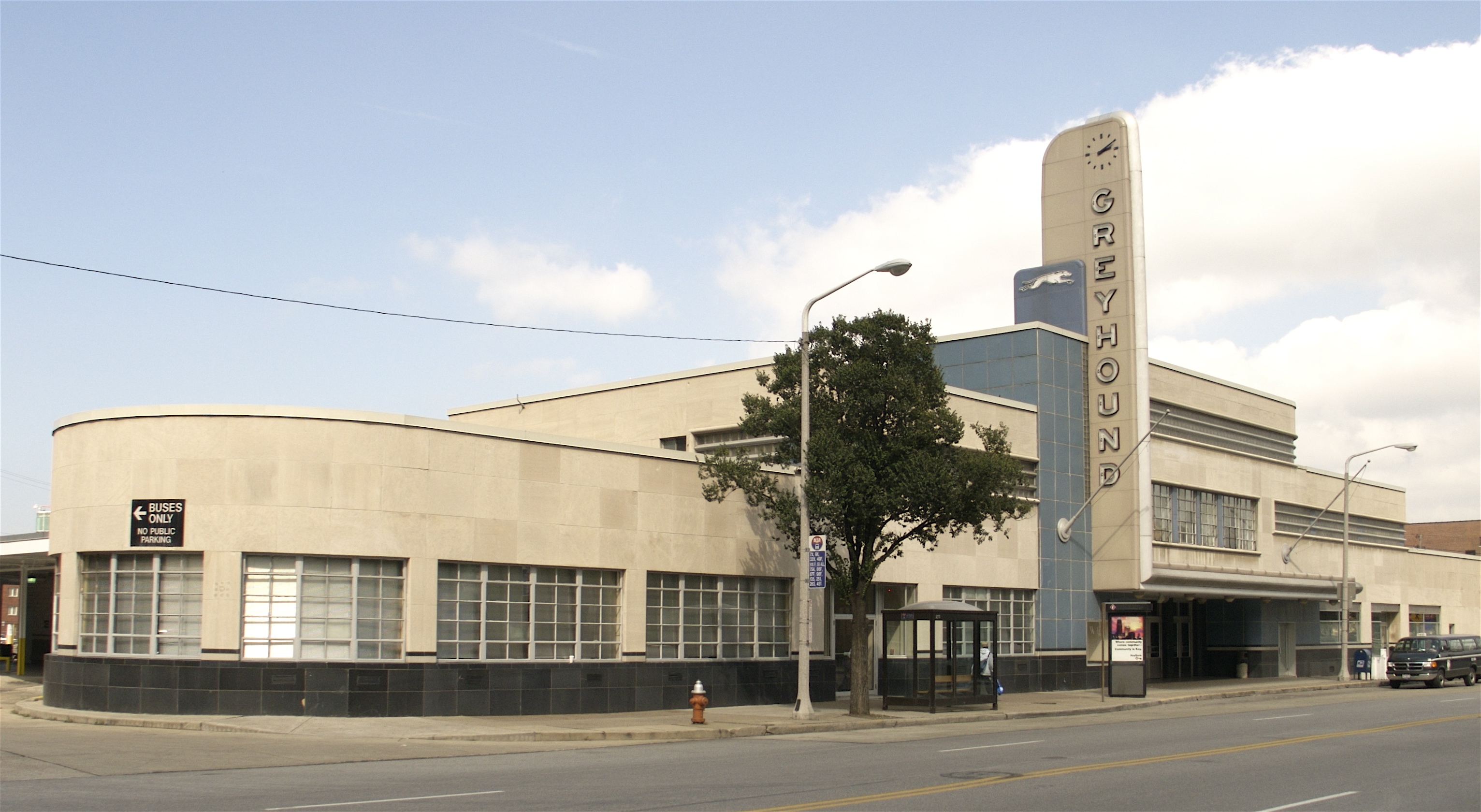
41°29′2.59″N 81°43′48.99″W / 41.4840528°N 81.730275°W81 Greyhound Bus Station 
June 2, 1999 1465 Chester Ave.
41°30′12″N 81°40′56″W / 41.50333°N 81.68222°W82 Halle Building September 8, 1983 1228 Euclid Ave.
41°30′0″N 81°40′59″W / 41.5°N 81.68306°W83 Halle's Shaker Square 
February 9, 2005 13000 Shaker Boulevard
41°29′0″N 81°35′32″W / 41.483333°N 81.59222°W84 Harp Apartments March 9, 2000 1389 W. 64th St.
41°29′5″N 81°43′45″W / 41.48472°N 81.72917°W85 Harvard School May 22, 2002 6900 Harvard Ave.
41°26′53″N 81°38′26″W / 41.44806°N 81.64056°W86 Hay-McKinney and Bingham-Hanna House June 18, 1976 10825 E. Boulevard
41°30′48″N 81°36′38″W / 41.51333°N 81.61056°W87 Hessler Court Wooden Pavement March 3, 1975 11330 East Boulevard between Bellflower and Hessler Rds.
41°30′39″N 81°36′20″W / 41.51083°N 81.60556°W88 James Hill House May 13, 1994 1840 W. 58th St.
41°28′54″N 81°43′36″W / 41.48167°N 81.72667°W89 Hilliard Apartment Building March 17, 1987 2804-2906 Sackett Ave.
41°27′49″N 81°42′6″W / 41.46361°N 81.70167°W90 Holy Rosary Church June 16, 1976 12021 Mayfield Rd.
41°30′32″N 81°35′56″W / 41.50889°N 81.59889°W91 Hotel Statler 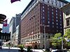
April 1, 1998 1127 Euclid Ave.
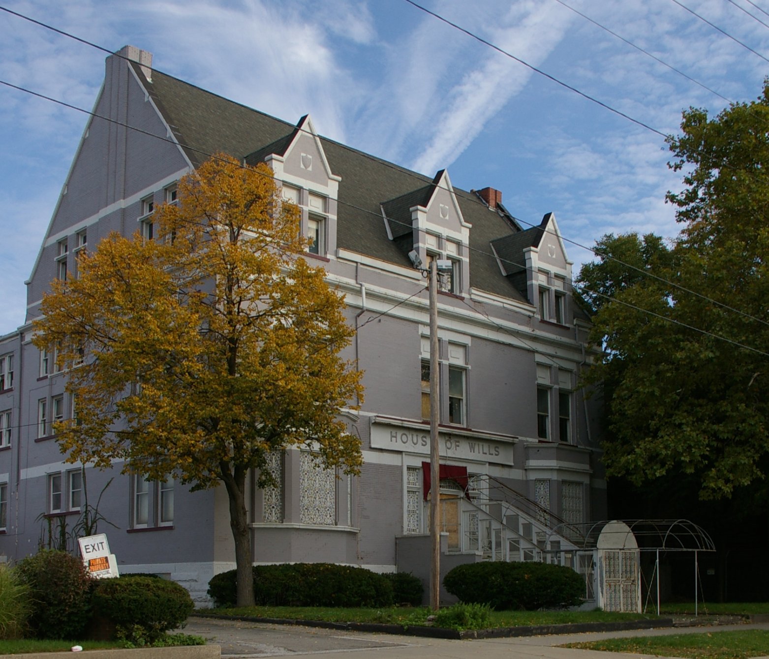
41°30′2″N 81°41′6″W / 41.50056°N 81.685°W92 House of Wills 
December 17, 1982 2491 E. 55th St.
41°29′26″N 81°39′6″W / 41.49056°N 81.65167°W93 Hoyt Block 
January 18, 1974 608 W. St. Clair St.
41°29′59″N 81°41′56″W / 41.49972°N 81.69889°W94 Hruby Conservatory of Music November 29, 1979 5417 Broadway St.
41°28′5″N 81°39′7″W / 41.46806°N 81.65194°W95 Joseph Ireland House November 1, 1984 2074 E. 36th St.
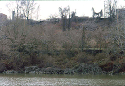
41°30′3″N 81°39′46″W / 41.50083°N 81.66278°WDemolished.[12] 96 Irishtown Bend Archeological District 
May 25, 1990 Western bank of the Cuyahoga River, along Riverbed Rd.
41°29′22.2″N 81°42′17.65″W / 41.4895°N 81.7049028°W[13]97 Jennings Apartments March 29, 1984 2711 W. 14th St.
41°28′30″N 81°41′29″W / 41.475°N 81.69139°W98 Jones Home for Children August 30, 1996 3518 W. 25th St.
41°27′30″N 81°42′6″W / 41.45833°N 81.70167°W99 The Joseph and Feiss Clothcraft Shops October 28, 2010 2149 W. 53rd St.
41°28′24″N 81°43′18″W / 41.47333°N 81.72167°W100 Karamu House 
December 17, 1982 2355 E. 89th St.
41°29′37″N 81°37′26″W / 41.49361°N 81.62389°W101 Kennedy Apartments and Commercial Block July 6, 1989 6425 Detroit Ave.
41°29′2″N 81°43′48″W / 41.48389°N 81.73°W102 Lewis Kies House 
August 11, 2004 4208 Prospect Ave.
41°30′8″N 81°39′25″W / 41.50222°N 81.65694°W103 W.H. Kindra Apartments March 19, 1987 3802-2812 Mapledale Ave.
41°27′15″N 81°42′36″W / 41.45417°N 81.71°W104 Krause Building-Otto Moser's Cafe November 14, 1985 2042-2044 E. 4th St.
41°29′56″N 81°41′27″W / 41.49889°N 81.69083°W105 Theodor Kundtz Company Building February 2, 2001 2249 Elm St.
41°29′45″N 81°42′23″W / 41.49583°N 81.70639°W106 LaSalle Theatre Building June 15, 2011 819-829 E. 185th St.
41°35′6″N 81°32′59″W / 41.585°N 81.54972°W107 League Park 
August 8, 1979 Lexington and 66th Sts.
41°30′42″N 81°38′39″W / 41.51167°N 81.64417°W108 Lerner Building June 24, 2000 322-324 Euclid Ave.
41°30′2″N 81°41′31″W / 41.50056°N 81.69194°W109 Lindner Building 
September 13, 1978 1331 Euclid Ave.
41°30′4″N 81°40′55″W / 41.50111°N 81.68194°W110 Lorain Avenue Commercial Historic District June 17, 1994 3202-5730 Lorain Ave.
41°28′45″N 81°43′0″W / 41.47917°N 81.716667°W111 Lorain Station Historic District May 13, 1994 9005-10134 Lorain Ave.
41°28′5″N 81°44′57″W / 41.46806°N 81.74917°W112 Lorain-Carnegie Bridge 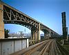
October 8, 1976 Spans the Cuyahoga River between Lorain and Carnegie Aves.
41°29′26″N 81°41′30″W / 41.49056°N 81.69167°W113 Lower Prospect-Huron Historic District 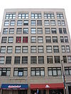
November 19, 1995 Seven blocks in downtown centered around the junction of Prospect Ave., Huron Rd. and E. 9th St.; also 727, 737, 1020-1060, and 1124 Bolivar Rd., 2217 E. 9th St., and 1303 Prospect Ave.
41°29′55″N 81°41′10″W / 41.49861°N 81.68611°WSecond set of boundaries represent a boundary increase 114 Magnolia-Wade Park Historic District October 25, 1990 Roughly bounded by Asbury Ave., E. 118th St., Wade Park Ave., Mistletoe Dr., Magnolia Dr., and E. 105th St.
41°30′54″N 81°36′30″W / 41.515°N 81.60833°W115 Malio House March 19, 1987 3781 W. 25th St.
41°27′12″N 81°42′4″W / 41.45333°N 81.70111°W116 Flora Stone Mather College District February 15, 1974 Bellflower Rd. at Ford Dr.
41°30′32″N 81°36′28″W / 41.50889°N 81.60778°W117 May Company 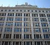
January 18, 1974 158 Euclid Ave. at Public Sq.
41°29′55″N 81°41′31″W / 41.49861°N 81.69194°W118 McKinley Terrace July 9, 1985 1406-1426 W. 81st St.
41°28′51″N 81°44′29″W / 41.48083°N 81.74139°W119 Medical Centre Building December 20, 1984 1001 Huron Rd.
41°30′0″N 81°41′6″W / 41.5°N 81.685°W120 George Merwin House 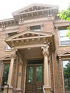
June 4, 1973 3028 Prospect Ave.
41°30′6″N 81°39′52″W / 41.50167°N 81.66444°W121 Miles Park Historic District May 17, 1974 Miles Park Ave. around Miles Park
41°26′49″N 81°37′21″W / 41.44694°N 81.6225°W122 Miller Block July 19, 1984 3202-3214 Lorain Ave.
41°28′56″N 81°42′32″W / 41.48222°N 81.70889°W123 Montana Apartments November 1, 1984 2061 E. 36th St.
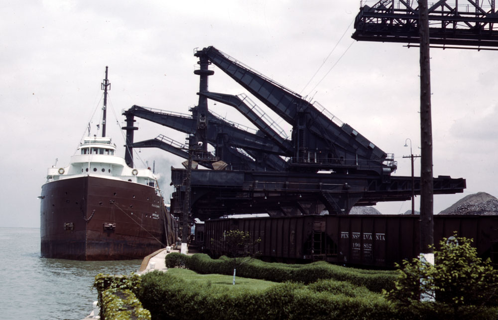
41°30′4″N 81°39′45″W / 41.50111°N 81.6625°WDemolished prior to 2005.[14] 124 Moreland Theater Building September 15, 2011 11810-11824 Buckeye Rd.
41°28′50″N 81°36′1″W / 41.48056°N 81.60028°W1927 building by Braverman and Havermaet that served multiple uses in Cleveland's Hungarian community[15] 125 Garrett Morgan House December 17, 1982 5202 Harlem Ave.
41°30′53″N 81°39′12″W / 41.51472°N 81.65333°WDemolished[16] 126 Murray Hill School April 28, 1988 2026 Murray Hill Rd. and 2043 Random Rd.
41°30′27″N 81°35′55″W / 41.5075°N 81.59861°W127 National Town and Country Club 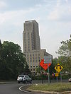
October 30, 2003 2401 Euclid Ave.
41°30′8″N 81°40′20″W / 41.50222°N 81.67222°W128 Neff Apartments 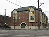
November 1, 1984 3606 Prospect Ave.
41°30′5″N 81°39′45″W / 41.50139°N 81.6625°WDemolished prior to 2005; the photo is of the structure that replaced that building.[17][18] 129 New England Building 
September 8, 2000 617-637 Euclid Ave., 614-626 Vincent Ave.
41°30′1″N 81°41′20″W / 41.50028°N 81.68889°W130 Newton Avenue Historic District August 31, 1988 9700-10003 Newton Ave.
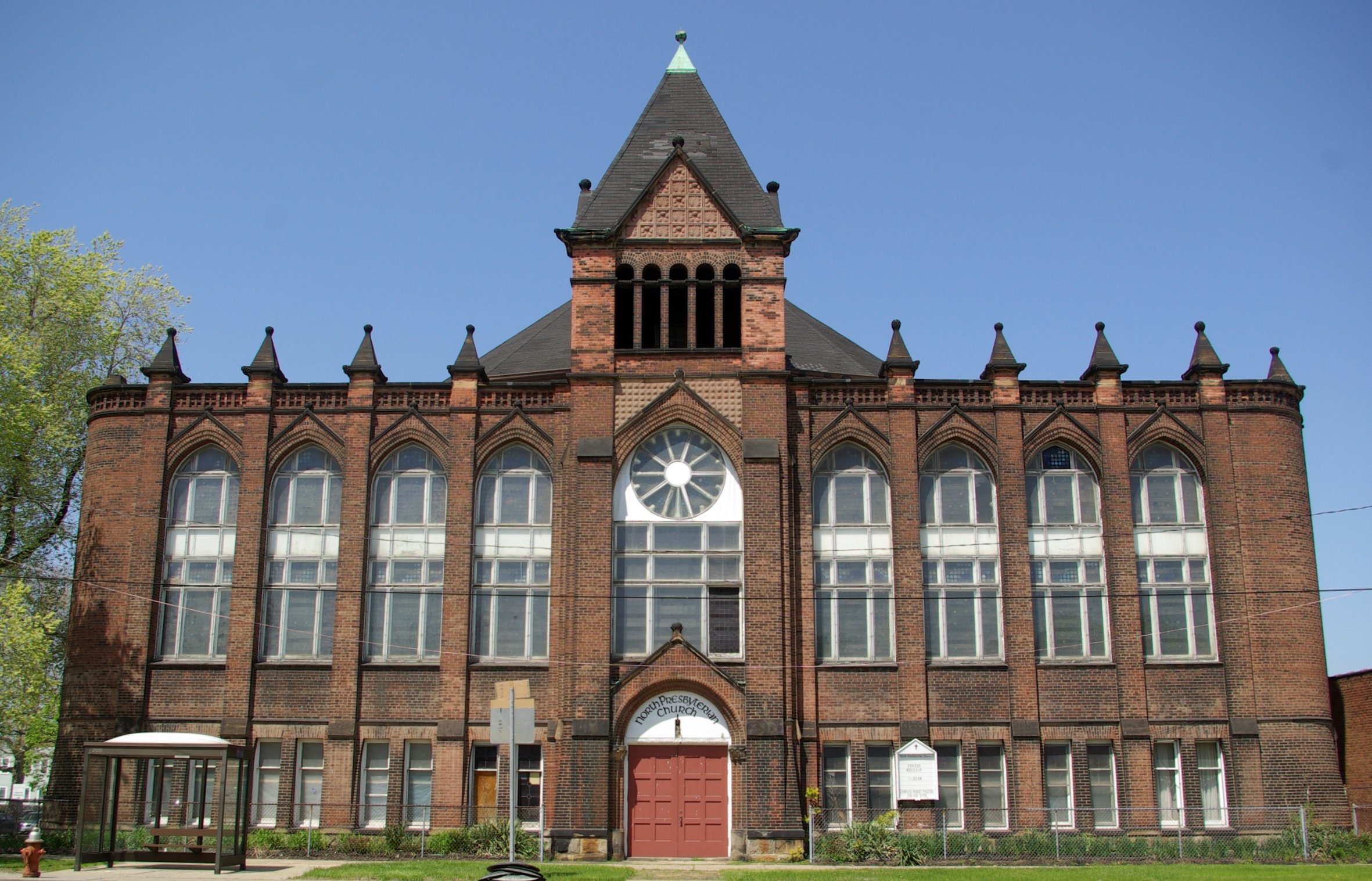
41°30′41″N 81°37′7″W / 41.51139°N 81.61861°W131 North Presbyterian Church 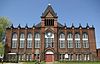
October 29, 1974 4001 Superior Ave.
41°30′51″N 81°39′44″W / 41.51417°N 81.66222°W132 Notre Dame Academy May 26, 1988 1325 Ansel Rd.
41°31′14″N 81°37′18″W / 41.52056°N 81.62167°W133 Ohio Bell Henderson-Endicott Exchange Building November 1, 1984 5400-5420 Prospect Ave.
41°30′9″N 81°39′9″W / 41.5025°N 81.6525°W134 Ohio City Preservation District 
October 9, 1974 Bounded by W. 26th, Clinton, W. 38th, and Carroll Sts.; also roughly Franklin Boulevard NW., W. 38th St., Bridge Ave. NW., and W. 44th St., and Stone, W. 25th, Bridge Ave. NW., and W. 28th
41°29′7″N 81°42′33″W / 41.48528°N 81.70917°W135 Old Federal Building and Post Office 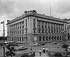
May 3, 1974 201 Superior Ave., NE.
41°30′2.5″N 81°41′33.75″W / 41.500694°N 81.6927083°W136 Old River Road Historic District February 1, 2006 1220-1330 Old River Rd.
41°29′54″N 81°42′13″W / 41.49833°N 81.70361°W137 Old Stone Church 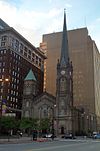
February 23, 1973 91 Public Sq.
41°30′1″N 81°41′42″W / 41.50028°N 81.695°W138 Charles Olney House and Gallery June 6, 1988 2241-2255 W. 14th St.
41°28′53″N 81°41′28″W / 41.48139°N 81.69111°W139 Panek Block December 18, 1986 3154 E. 49th St.
41°28′22″N 81°39′29″W / 41.47278°N 81.65806°W140 Park Building July 1, 1996 140 Public Sq.
41°29′24″N 81°41′0″W / 41.49°N 81.683333°W141 Peerless Motor Company Plant No. 1 
May 29, 1975 9400 Quincy Ave.
41°29′33″N 81°37′16″W / 41.4925°N 81.62111°WDemolished.[19] 142 Pennsylvania Railway Ore Dock 
October 15, 1997 At Whiskey Island
41°29′44″N 81°43′19″W / 41.49556°N 81.72194°WTwo of the four historic Hullet ore unloaders were scrapped in 2000, with the remaining two being dismantled for possible reassembly TBD.[20] 143 Perry-Payne Building July 16, 1973 740 Superior Ave.
41°29′57″N 81°41′54″W / 41.49917°N 81.69833°W144 Pilgrim Congregational Church March 17, 1976 2592 W. 14th St.
41°28′37″N 81°41′31″W / 41.47694°N 81.69194°W145 Playhouse Square Group 
October 5, 1978 2067 E. 14th St.; 1422, 1501, 1515, 1621 Euclid Ave.
41°30′3″N 81°40′51″W / 41.50083°N 81.68083°W146 Plaza Apartments 
November 1, 1984 3206 Prospect Ave.
41°30′4″N 81°39′53″W / 41.50111°N 81.66472°W147 Prospect Avenue Row House Group 
March 27, 1974 3645, 3649, 3651, and 3657 Prospect Ave.
41°30′7″N 81°39′41″W / 41.50194°N 81.66139°W148 Quad Hall May 26, 1988 7500 Euclid Ave.
41°30′17″N 81°38′11″W / 41.50472°N 81.63639°WDemolished.[21] 149 N.J. Rich and Co. Building May 1, 2003 1974 E. 61st St.
41°30′20″N 81°38′55″W / 41.50556°N 81.64861°W150 Riverside Cemetery Building March 19, 1987 3607 W. 25th St.
41°27′21″N 81°42′1″W / 41.45583°N 81.70028°W151 Riverside Cemetery Chapel March 19, 1987 3607 Pearl Rd.
41°27′25″N 81°41′55″W / 41.45694°N 81.69861°W152 Rockefeller Building 
June 4, 1973 614 Superior Ave.
41°29′53″N 81°41′51″W / 41.49806°N 81.6975°W153 Rockefeller Park and Cleveland Cultural Gardens Historic District 
May 4, 2005 Roughly bounded by Mt. Sinai Rd., East Boulevard, Conrail tracks, and Ansel Rd.
41°31′30″N 81°37′22″W / 41.525°N 81.62278°W154 Rockefeller Park Bridges 
September 27, 1977 Rockefeller Park
41°31′41″N 81°37′34″W / 41.52806°N 81.62611°W155 Root and McBride-Bradley Building 
July 18, 1980 1220-1230 W. 6th St.
41°30′3″N 81°42′1″W / 41.50083°N 81.70028°W156 St. Elizabeth's Magyar Roman Catholic Church 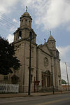
January 30, 1976 9016 Buckeye Rd.
41°29′7″N 81°37′24″W / 41.48528°N 81.62333°W157 St. Ignatius High School 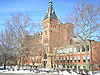
January 21, 1974 1911 W. 30th St. at Carroll Ave.
41°29′0″N 81°42′28″W / 41.483333°N 81.70778°W158 St. John's AME Church December 17, 1982 2261 E. 40th St.
41°29′48″N 81°39′22″W / 41.49667°N 81.65611°W159 St. John's Episcopal Church 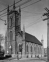
February 23, 1973 2600 Church St.
41°29′24″N 81°42′30″W / 41.49°N 81.70833°W160 St. Joseph's Church and Friary June 17, 1976 2543 E. 23rd St. at Woodland
41°29′35″N 81°40′22″W / 41.49306°N 81.67278°WDemolished.[22] 161 St. Luke's Hospital 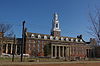
June 10, 2005 11311 Shaker Boulevard
41°29′6″N 81°36′21″W / 41.485°N 81.60583°W162 St. Michael the Archangel Catholic Church 
January 18, 1974 3114 Scranton Rd.
41°28′11″N 81°41′50″W / 41.46972°N 81.69722°W163 St. Paul's Episcopal Church 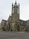
November 25, 1980 4120 Euclid Ave.
41°30′12″N 81°39′28″W / 41.50333°N 81.65778°W164 St. Stanislaus Church 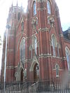
June 22, 1976 Forman and E. 65th Sts.
41°27′33″N 81°38′41″W / 41.45917°N 81.64472°W165 St. Stephen Church November 25, 1977 1930 W. 54th St.
41°28′44″N 81°43′27″W / 41.47889°N 81.72417°W166 St. Theodosius Russian Orthodox Cathedral 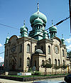
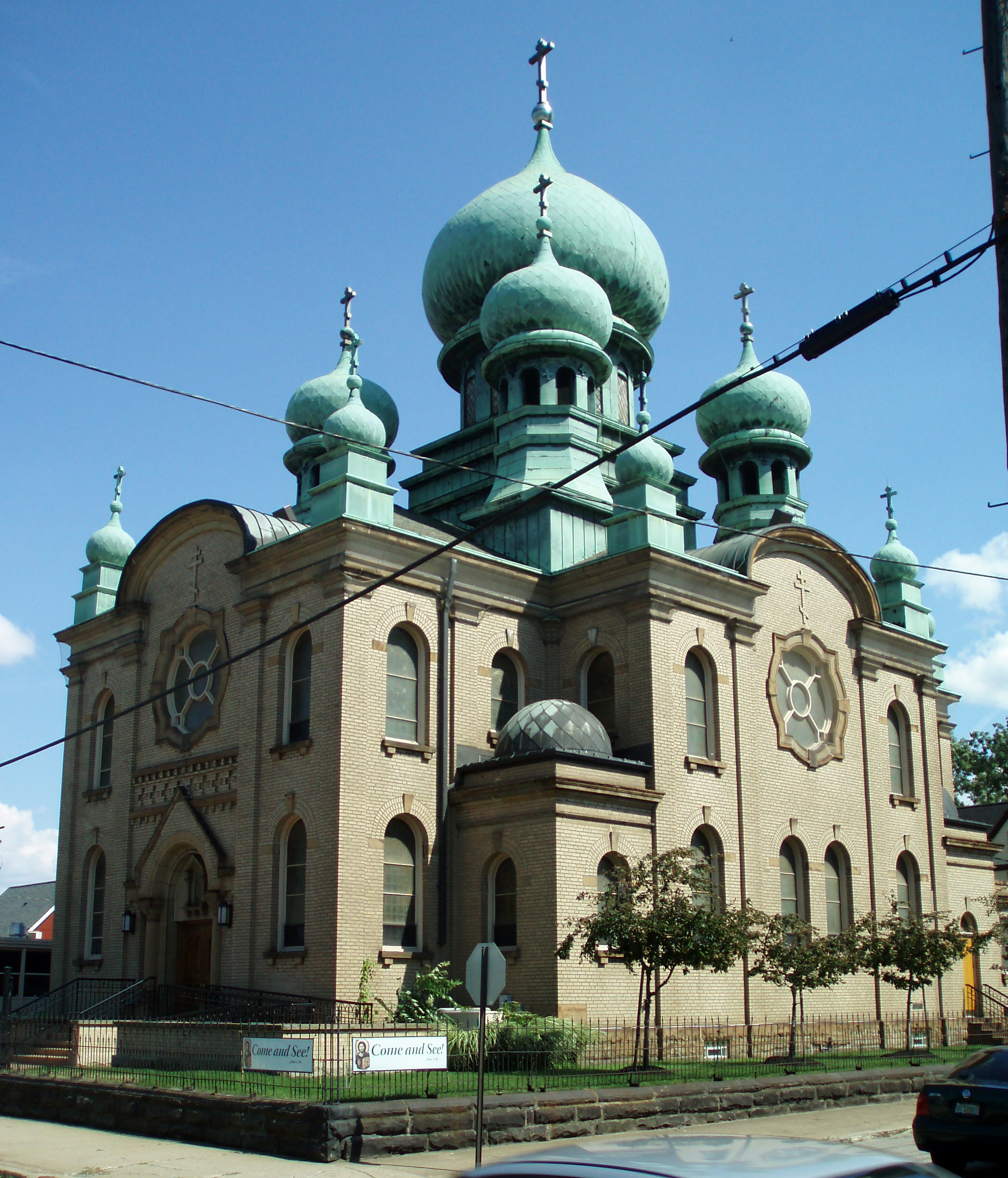
January 18, 1974 733 Starkweather Ave.
41°28′38″N 81°40′54″W / 41.47722°N 81.68167°W167 Charles Schweinfurth House 
May 22, 1973 1915 E. 75th St.
41°30′18″N 81°38′10″W / 41.505°N 81.63611°W168 Shaker Square 
July 1, 1976 Shaker and Moreland Boulevards
41°29′2″N 81°35′26″W / 41.48389°N 81.59056°W169 Shaker Village Historic District 
May 31, 1984 Roughly bounded by Fairmount and Lomond Boulevards and Green, Warrensville Center, Becket, and Coventry Rds.; also roughly bounded by Lomond Boulevard, Lytel Rd., Scottsdale Boulevard, and Lindholm Rd.
41°28′33″N 81°33′11″W / 41.47583°N 81.55306°WExtends into Cleveland Heights and Shaker Heights, elsewhere in Cuyahoga County 170 Shiloh Baptist Church 
December 17, 1982 5500 Scovill Ave.
41°29′28″N 81°39′6″W / 41.49111°N 81.65167°W171 Society for Savings Building 
November 7, 1976 Public Sq.
41°30′2″N 81°41′40″W / 41.50056°N 81.69444°W172 South Brooklyn Commercial District February 25, 2005 Roughly along Pearl and Broadview Rds.
41°26′36″N 81°42′16″W / 41.44333°N 81.70444°W173 Southworth House 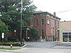
November 1, 1984 3334 Prospect Ave.
41°30′4″N 81°39′48″W / 41.50111°N 81.66333°W174 Stager-Beckwith House 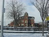
April 20, 1978 3813 Euclid Ave.
41°30′14″N 81°39′35″W / 41.50389°N 81.65972°W175 Stanley Block 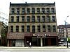
April 27, 2011 2115-2121 Ontario St.
41°29′52″N 81°41′29″W / 41.49778°N 81.69139°WLower Prospect-Huron District MPS 176 Stockbridge Apartment Building 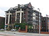
August 8, 1985 3328 Euclid Ave.
41°30′10″N 81°39′41″W / 41.50278°N 81.66139°W177 Superior Avenue Historic District 
February 21, 2007 1860-2553 Superior Ave.
41°30′28.8″N 81°40′37.2″W / 41.508°N 81.677°W178 Superior Avenue Viaduct 
June 9, 1978 Superior Ave.
41°29′41″N 81°42′16″W / 41.49472°N 81.70444°W179 Tavern Club 
November 1, 1984 3522 Prospect Ave.
41°30′4″N 81°39′47″W / 41.50111°N 81.66306°W180 Templar-Farrell Motor Sales Building 
November 1, 1984 3134 Prospect Ave.
41°30′4″N 81°39′55″W / 41.50111°N 81.66528°W181 The Temple 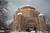
August 30, 1974 University Circle at Silver Park
41°30′29″N 81°36′58″W / 41.50806°N 81.61611°W182 Third Church of Christ, Scientist March 19, 1987 3648 W. 25th St.
41°27′17″N 81°42′6″W / 41.45472°N 81.70167°W183 Hannes Tiedemann House 
March 15, 1982 4308 Franklin Boulevard
41°29′8″N 81°42′59″W / 41.48556°N 81.71639°W184 Clayton Townes House March 19, 1987 3800 W. 33rd St.
41°27′6″N 81°42′19″W / 41.45167°N 81.70528°W185 Tremont Historic District July 15, 1994 Roughly bounded by Interstate 490, Interstate 71, University Ct., W. 7th St., Starkweather Ave., Brayton, Fruit Ave. and Auburn Ave.
41°28′45″N 81°41′16″W / 41.47917°N 81.68778°W186 Trinity Cathedral 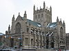
June 4, 1973 Euclid Ave. at E. 22nd St.
41°30′4″N 81°40′28″W / 41.50111°N 81.67444°W187 Trinity Cathedral Church Home 
November 1, 1984 2227 Prospect Ave.
41°30′2″N 81°40′27″W / 41.50056°N 81.67417°W188 Union Club February 15, 1974 1211 Euclid Ave.
41°30′12″N 81°41′4″W / 41.50333°N 81.68444°W189 Union Steel Screw Office Building 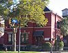
January 13, 1989 1675-7 E. 40th St.
41°30′50″N 81°39′34″W / 41.51389°N 81.65944°W190 Union Terminal Group 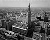
March 17, 1976 Public Sq.
41°29′52″N 81°41′39″W / 41.49778°N 81.69417°W191 United Motor Service Building 
November 1, 1984 4019 Prospect Ave.
41°30′9″N 81°39′25″W / 41.5025°N 81.65694°W192 Universal Terminal Company Dock and Warehouse September 8, 1983 5451 N. Marginal Rd.
41°31′48″N 81°39′20″W / 41.53°N 81.65556°W193 University Hall, Cleveland State University 
February 6, 1973 2605 Euclid Ave.
41°30′11″N 81°40′14″W / 41.50306°N 81.67056°W194 Upson-Walton Company Building January 21, 1974 1310 Old River Rd. (W. 11th St.)
41°29′53″N 81°42′10″W / 41.49806°N 81.70278°W195 USS COD (submarine) 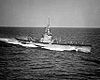
January 14, 1986 N. Marginal Dr.
41°30′37″N 81°41′32″W / 41.51028°N 81.69222°W196 Van Rooy Coffee Company Building June 16, 2004 2900 Detroit Ave.
41°29′23″N 81°42′41″W / 41.48972°N 81.71139°W197 Variety Store Building and Theatre April 1, 1982 11801-11825 Lorain Ave.
41°27′40″N 81°46′14″W / 41.46111°N 81.77056°W198 Venice Building October 1, 1990 8401-8417 Euclid Ave.
41°30′14″N 81°37′43″W / 41.50389°N 81.62861°WDemolished prior to 2003.[23] 199 Vitrolite Building October 13, 2004 2911-2915 Detroit Ave.
41°29′22″N 81°42′42″W / 41.48944°N 81.71167°W200 Wade Memorial Chapel 
June 18, 1973 12316 Euclid Ave. inside Lakeview Cemetery
41°30′49″N 81°35′42″W / 41.51361°N 81.595°W201 Wade Park District 
October 2, 1982 Roughly bounded by E. 105th St., East Boulevard, and Chester and Euclid Aves.
41°30′30″N 81°36′46″W / 41.50833°N 81.61278°W202 Walker and Weeks Office Building 
November 1, 1984 2341 Carnegie Ave.
41°29′58″N 81°40′21″W / 41.49944°N 81.6725°W203 Warszawa Neighborhood District November 28, 1980 E. 65th St. and Forman Ave.
41°27′29″N 81°38′41″W / 41.45806°N 81.64472°W204 Waterman Service Building August 17, 2001 3030 E. 63rd St.
41°30′11″N 81°38′51″W / 41.50306°N 81.6475°W205 Watterson School October 8, 1992 1422 W. 74th St.
41°28′55″N 81°44′16″W / 41.48194°N 81.73778°W206 Weizer Building February 8, 1988 8935 Buckeye Rd.
41°29′7″N 81°37′25″W / 41.48528°N 81.62361°WDemolished[24] 207 Weizer Building 
November 21, 2002 11801 Buckeye Rd.
41°28′52″N 81°36′2″W / 41.48111°N 81.60056°W208 West Side Market 
December 18, 1973 W. 24th St. and Lorain Ave.
41°29′4″N 81°42′11″W / 41.48444°N 81.70306°W209 West Technical High School August 21, 2001 2201 W. 93rd St.
41°28′19″N 81°44′48″W / 41.47194°N 81.74667°W210 Western Reserve Building October 30, 1973 1468 W. 9th St.
41°29′50″N 81°41′59″W / 41.49722°N 81.69972°W211 Phillis Wheatley Association 
August 24, 1979 4450 Cedar Ave.
41°30′0″N 81°39′18″W / 41.5°N 81.655°W212 White Chewing Gum Company Building March 9, 2000 10307 Detroit Ave.
41°28′49″N 81°45′26″W / 41.48028°N 81.75722°W213 Henry P. White House 
July 16, 1973 Northwestern corner of Euclid Ave. and E. 90th St.
41°30′14″N 81°37′23″W / 41.50389°N 81.62306°W214 Woodland Avenue and West Side Railroad Powerhouse June 4, 1979 1180 Cathan Ave., NW
41°29′47″N 81°42′13″W / 41.49639°N 81.70361°W215 Woodland Cemetery 
June 4, 1986 6901 Woodland Ave.
41°28′54″N 81°38′30″W / 41.48167°N 81.64167°W216 Zero Gravity Research Facility (B-2) 
October 3, 1985 Lewis Research Center
41°24′44″N 81°51′51″W / 41.41222°N 81.86417°W217 Zion Lutheran Church 
November 1, 1984 2062 E. 30th St.
41°30′2″N 81°40′3″W / 41.50056°N 81.6675°W218 Zion Lutheran School 
November 1, 1984 2074 E. 30th St.
41°30′1″N 81°40′2″W / 41.50028°N 81.66722°WFormer listing
Landmark name Image Date delisted Location Summary 1 McDonald's Drive-in March 23, 1991 988 E. 152nd St.
41°33′5.6″N 81°34′32.4″W / 41.551556°N 81.575667°WListed on June 15, 1990 See also
References
- ^ The latitude and longitude information provided in this table was derived originally from the National Register Information System, which has been found to be fairly accurate for about 99% of listings. For about 1% of NRIS original coordinates, experience has shown that one or both coordinates are typos or otherwise extremely far off; some corrections may have been made. A more subtle problem causes many locations to be off by up to 150 yards, depending on location in the country: most NRIS coordinates were derived from tracing out latitude and longitudes off of USGS topographical quadrant maps created under the North American Datum of 1927, which differs from the current, highly accurate WGS84 GPS system used by Google maps. Chicago is about right, but NRIS longitudes in Washington are higher by about 4.5 seconds, and are lower by about 2.0 seconds in Maine. Latitudes differ by about 1.0 second in Florida. Some locations in this table may have been corrected to current GPS standards.
- ^ "National Register of Historic Places: Weekly List Actions". National Park Service, United States Department of the Interior. Retrieved on November 10, 2011.
- ^ Numbers represent an ordering by significant words. Various colorings, defined here, differentiate National Historic Landmark sites and National Register of Historic Places Districts from other NRHP buildings, structures, sites or objects.
- ^ a b "National Register Information System". National Register of Historic Places. National Park Service. 2008-04-24. http://nrhp.focus.nps.gov/natreg/docs/All_Data.html.
- ^ The Adelbert Hall Fire, Case Western Reserve University. Accessed 2007-07-24.
- ^ Allen Memorial Medical Library, Cleveland Landmarks Commission. Accessed 2007-07-24.
- ^ Real Property Information: search for 4345 Lee, Cuyahoga County Auditor, n.d. Accessed 2011-01-24.
- ^ Cleveland Worsted Mill Co., Encyclopedia of Cleveland History, 1998-05-13. Accessed 2011-01-21.
- ^ Zoning Map, Cleveland Heights Department of Planning and Development, November 2005. Accessed 2009-09-05.
- ^ Plan of Lake View Cemetery, Lake View Cemetery. Accessed 2009-09-08.
- ^ Jacob Goldsmith House, Encyclopedia of Cleveland History, 1997-07-17. Accessed 2011-01-21.
- ^ Ireland, Joseph House, Ohio Historical Society, 2007. Accessed 2011-01-21.
- ^ Location derived from this National Park Service webpage; the NRIS lists the site as "Address Restricted"
- ^ Real Property Information (search for 2061 E. 36 St.), Cuyahoga County Auditor, n.d. Accessed 2011-01-21.
- ^ "National Register of Historic Places Registration Form: Moreland Theater Building". April 4, 2011. http://www.ohiohistory.org/resource/histpres/docs/nr/mlt_media.pdf. Retrieved September 27, 2011.
- ^ Garrett Morgan House, Ohio Historical Society, 2007. Accessed 2011-01-21.
- ^ Neff Apartments, Ohio Historical Society, 2007. Accessed 2011-01-21.
- ^ Real Property Information (search for 3606 Euclid), Cuyahoga County Auditor, n.d. Accessed 2011-01-21.
- ^ Cleveland Area History: Cars, Beer, and the Law, Christopher Busta-Peck, 2010-05-05. Accessed 2011-01-21.
- ^ The Hulett Automatic Ore Unloaders Online, Cleveland Memory Project Accessed 2011-07-15.
- ^ Quad Hall, Ohio Historical Society, 2007. Accessed 2011-01-24.
- ^ St Joseph's Church and Friary, Ohio Historical Society, 2007. Accessed 2011-01-24.
- ^ Real Property Information, search for 8401 Euclid, Cuyahoga County Auditor, n.d. Accessed 2011-01-24.
- ^ Weizer Building, Ohio Historical Society, 2007. Accessed 2011-01-21.
External links
- Cleveland Landmarks, as designated by the Cleveland Landmarks Commission
National Register of Historic Places in Ohio Lists by county Adams • Allen • Ashland • Ashtabula • Athens • Auglaize • Belmont • Brown • Butler • Carroll • Champaign • Clark • Clermont • Clinton • Columbiana • Coshocton • Crawford • Cuyahoga • Darke • Defiance • Delaware • Erie • Fairfield • Fayette • Franklin • Fulton • Gallia • Geauga • Greene • Guernsey • Hamilton • Hancock • Hardin • Harrison • Henry • Highland • Hocking • Holmes • Huron • Jackson • Jefferson • Knox • Lake • Lawrence • Licking • Logan • Lorain • Lucas • Madison • Mahoning • Marion • Medina • Meigs • Mercer • Miami • Monroe • Montgomery • Morgan • Morrow • Muskingum • Noble • Ottawa • Paulding • Perry • Pickaway • Pike • Portage • Preble • Putnam • Richland • Ross • Sandusky • Scioto • Seneca • Shelby • Stark • Summit • Trumbull • Tuscarawas • Union • Van Wert • Vinton • Warren • Washington • Wayne • Williams • Wood • Wyandot
Lists by city Other lists City of Cleveland City Council · Historic Places · History · Timeline · Mayors · Media · People · Police · Public schools · Sports · Tallest buildingsNeighborhoods Brooklyn Centre · Buckeye-Shaker · Central · Clark-Fulton · Corlett · Cudell · Detroit-Shoreway · Downtown · Edgewater · Euclid-Green · Goodrich-Kirtland Park · Fairfax · Forest Hills · Glenville · Hough · Industrial Valley · Jefferson · Kamm's Corners · Kinsman · Lee-Miles · Mt. Pleasant · North Broadway · North Collinwood · Ohio City · Old Brooklyn · Puritas-Longmead · Riverside · South Broadway · South Collinwood · St. Clair-Superior · Stockyards · Tremont · Union-Miles Park · University · West Boulevard · Woodland HillsCategories:- National Register of Historic Places in Ohio
- Buildings and structures in Cleveland, Ohio
- History of Cleveland, Ohio
- Cleveland-related lists
-


Wikimedia Foundation. 2010.