- Mottsville, Nevada
-
Mottsville, Nevada — Unincorporated community — 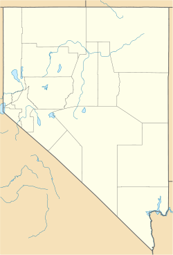
 Mottsville, Nevada
Coordinates: 38°55′43″N 119°50′16″W / 38.92861°N 119.83778°WCoordinates: 38°55′43″N 119°50′16″W / 38.92861°N 119.83778°W Country United States State Nevada County Douglas Elevation 4,777 ft (1,456 m) Time zone Pacific (PST) (UTC-8) – Summer (DST) PDT (UTC-7) Area code(s) 775 GNIS feature ID 860656[1] Mottsville is an unincorporated community in Douglas County, Nevada, United States. Mottsville is located at the junction of Nevada State Route 206 and Nevada State Route 207 4 miles (6.4 km) west-southwest of Minden.
References
Municipalities and communities of Douglas County, Nevada CDPs 
Unincorporated
communitiesCategories:- Populated places in Douglas County, Nevada
- Unincorporated communities in Nevada
- Nevada geography stubs


Wikimedia Foundation. 2010.