- Ma-ubin
-
Maubin
မအူပင်မြို့— Town — Location in Burma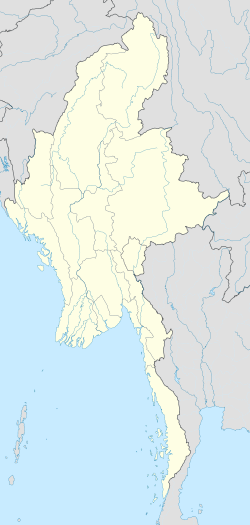
 Maubin
Coordinates: 16°43′48″N 95°39′0″E / 16.73°N 95.65°E Country  Burma
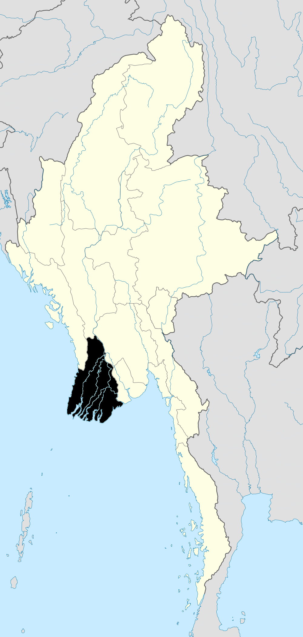
BurmaDivision Ayeyarwady Division District Ma-ubin District Township Ma-ubin Township Population (1993) - Total 42,000 Time zone MMT (UTC+6:30) Ma-ubin or Maubin (Burmese: မအူပင်မြို့, pronounced [məʔùbɪ̀ɴ mjo̯]) is a town in the Ayeyarwady Division of south-west Burma. It is the seat of the Ma-ubin Township in the Ma-ubin District. The population as of 1993 was 42,000.[1] The inhabitants of the town, as well as the district are mainly Bamar and Karen.[2]
During Cyclone Nargis which devastated the Irrawaddy Delta, the Burmese military offered convoys to refugees to Ma-ubin to escape the devastation in worse-hit areas.[3]
Contents
Geography and economy
 Twante Canal
It is a port lying on the west bank of the Irrawaddy River delta and is protected by flood-control embankments. The southern coastline lies along the Andaman Sea. Rice growing and fishing are the major contributors to the economy. It is developing town with growing transportation and communication services.
The town is linked with Yangon, 40 miles (65 km) east, by the Twante Canal which heads east.[1] The canal opened in 1932 and improved the transporting of goods back and forth from the former capital, then known as Rangoon.[4]
Landmarks
Pagodas
The main religion is Buddhism and there are many pagodas within Maubin township:
Sane Mya Kanthar Ceti pagoda is located on the Sane Mya Kanthar Street just north of the town.
Pagoda Paw Taw Mu Ceti, (formally Myot Oo Paw Taw Mu Ceti) is an ancient pagoda situated in the southern part of the town on the Toe River. The old pagoda fell in 2002 following river erosion of the bank but it was rebuilt on May 22, 2005 under government guidance.[5]
Shwe Phone Myint Ceti- this is located in the Pagoda Street in the 2nd quarter of the town. The foundation stone of the Ceti was laid in 1890.
Other notable pagodas include Shwephonemyint pagoda and Akyawsulyanmyattonetan pagoda.[2]
Maharbandoola’s cemetery and monument statue is situated in Maubin District, but is located in Danuphyu Township. Danuphyu Fort was a prominent location of the Anglo-Burmese War and was destroyed by a flood.[2]
Bridges
There are four bridges in Maubin district, including Maubin Bridge, Khattiya Bridge, Pantanaw Bridge and Bo Myat Htun Bridge.[2] Maubin Bridge is a reinforced concrete bridge with a capacity of 60 tons.[2] It is located in Maubin Township and the foundation stone was laid on 4 April 1994. The bridge formally opened on 10 February 1998.[2]
Education
 Ba Maw (1893 - 1977)
The town has several universities including Ma-ubin Computer University, Technological University, Maubin and Ma-ubin University.[2] Maubin Computer University offers degrees in Bachelor of Computer Science, Bachelor of Computer Technology and post-graduate degrees of Bachelor of Computer Science, Bachelor of Computer Technology , Master of Computer Science, Master of Computer Technology, Master of Information Science and a Diploma in Computer Science.[5]
Ma-ubin University opened in July 2003 and was implemented by the Higher Education Department of Lower Myanmar. The opening ceremony was attended by several notable Burmese figures including Secretary of the State Peace and Development Council, General Khin Nyunt, Member of the State Peace and Development Council, Lieutenant-General Khin Maung Than, Major General Htay Oo and ministers and officials of the State Peace and Development Council Office.[6]
Dhamma Manorama - meaning ‘Delightful Environment of Dhamma’, is situated a mile away on the main road to Maubin University. It offers 10-day courses in learning and as of May 2005, eight courses had been held in which 349 students participated.[7] Many of the students come from Maubin's No. 1 State High School. The centre was established on 28 March 2004, on some seven acres of land.
The American Baptist Missionary Union had been active in the area at the turn of the 20th century and established a number of churches (Karens).[8]
Notable people
- Ba Maw (1893–1977) - Burmese political leader
References
- ^ a b "Ma-ubin". Encyclopedia Britannica. http://www.britannica.com/EBchecked/topic/353457/Ma-ubin. Retrieved August 20, 2009.
- ^ a b c d e f g "Maubin District". www.most.gov.mm. http://www.most.gov.mm/maubintu/index.php?option=com_content&task=view&id=23&Itemid=38. Retrieved August 21, 2009.
- ^ "Burma: Death on the Irrawaddy". Time Magazine. May 9, 2008. http://www.time.com/time/world/article/0,8599,1738743,00.html. Retrieved August 21, 2009.
- ^ Stevenson, J. (2004). Irrawaddy: Benevolent River of Burma. Times Editions (Singapore). ISBN 981232593X.
- ^ a b "Maubin District". Maubin Computer University. http://www.ucsy.edu.mm/maubincu/index.php?option=com_content&task=view&id=17&Itemid=31. Retrieved August 21, 2009.
- ^ "Maubin University creates unique opportunities for local people to conveniently pursue higher education". The New Light of Myanmar. July 19, 2003. http://www.myanmar.gov.mm/NLM-2003/enlm/July19_h1.html. Retrieved August 21, 2008.
- ^ "Dhamma Manorama". www.vridhamma.org. http://www.vridhamma.org/Uploadpdf/manorama-nidhi.pdf. Retrieved August 21, 2009.
- ^ Annual Report of the American Baptist Missionary Union (1905)
External links
Ayeyarwady Region Pathein District 
Hinthada District Hinthada Township · Zalun Township · Laymyethna Township · Myanaung Township · Kyangin Township · Ingapu TownshipMyaungmya District Ma-ubin District Pyapon District Labutta District Main cities and towns Categories:- Populated places in Ayeyarwady Region
- Township capitals of Burma


Wikimedia Foundation. 2010.