- Marzikola
-
Marzikola
مرزيكلا— city — 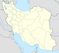
 Marzikola
Coordinates: 36°21′54″N 52°44′04″E / 36.365°N 52.73444°ECoordinates: 36°21′54″N 52°44′04″E / 36.365°N 52.73444°E Country  Iran
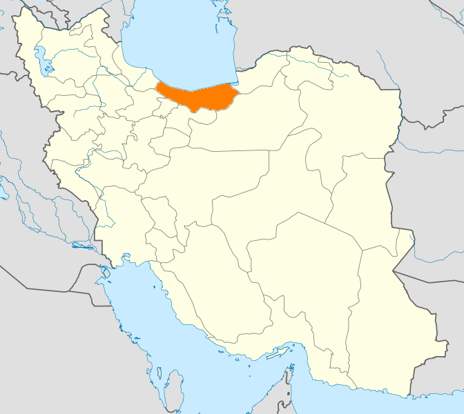
IranProvince Mazandaran County Babol Bakhsh Babol Kenar Population (2006) – Total 525 Time zone IRST (UTC+3:30) – Summer (DST) IRDT (UTC+4:30) Marzikola (Persian: مرزيكلا, also Romanized as Marzīkolā, Marzī Kolā, and Marzī Kalā)[1] is a city in and the capital of Babol Kenar District, Babol County, Mazandaran Province, Iran. At the 2006 census, its population was 525, in 141 families.[2]
References
- ^ Marzikola can be found at GEOnet Names Server, at this link, by opening the Advanced Search box, entering "-3074220" in the "Unique Feature Id" form, and clicking on "Search Database".
- ^ "Census of the Islamic Republic of Iran, 1385 (2006)" (Excel). Islamic Republic of Iran. http://www.amar.org.ir/DesktopModules/FTPManager/upload/upload2360/newjkh/newjkh/02.xls.
 Mazandaran Province
Capital 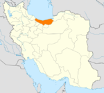
Counties and Cities Fereydunkenar CountyFereydunkenarGalugah CountyGalugahJuybar · Kuhi KheylMahmudabad · SorkhrudSurakQaem Shahr CountyQaem Shahr · KiakolaRamsar · Ketalem and Sadat ShahrSights Aab pari · Alasht · Babolsar · Badab-e Surt natural site · Dasht-e Naz national Park Sari · Larijan spa · Ghermerez spa · Qa'em Shahr's Imamzadeh kati · Sisangan national Park, Nowshahr · Challdareh national Park, Tonekabon · Veresk Bridge · Mohammad Hassan Khan Qajar's Bridge · Namakabrood's aerial tramway · Javaherdeh · Nima Yooshij's house in Yoush · Khestpol Bridge in Qa'em Shahr · Valasht lake, Kelardasht · Saadatmahaleh, Sari · Avidar lake Nowshahr · Lar Dam · Alam-Kuh · Palaeolithic caves of Kamarband’, and Hotu , Sari · Waterfall and Malekbahman castle of Shahandasht · Galehgardan, Tonekabon · Palace of Ramsar · Safavid gardens of Behshahr · Babol museum · Khoshedaran Museum of natural history, Fereydoon Kenar · Kandelus museum,near Chaloos · Sari's clock square · Rahband · Ramsar's old hotel ·Categories:- Babol County
- Cities in Iran
- Cities in Mazandaran Province
- Mazandaran geography stubs

Wikimedia Foundation. 2010.