- Mottama
-
Mottama
မုတ္ထမLocation in Burma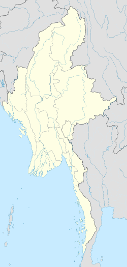
 Mottama
Coordinates: 16°32′N 97°36′E / 16.533°N 97.6°E Country  Burma
BurmaDivision Mon State District Thaton District Government - Mayor Population - Ethnicities Mon, Burman, Karen - Religions Theravada Buddhism Time zone MST (UTC+6:30) Mottama, formerly Martaban, (Burmese: မုတ္ထမမြို့, pronounced [mouʔtəma̰ mjo̰]; Mon: မိုဟ် တၟံ, [mùh mɔʔ]) is a small town in the Thaton district of Mon State, Myanmar. Located on the north bank of the Thanlwin river, on the opposite side of Mawlamyaing, Mottama was the first capital of the Hanthawaddy Kingdom in the 13th and 14th centuries, and an entrepôt of international repute until the mid-16th century.
Mottama was the terminus of the road and the railroad from Yangon, where the Thanlwin empties into the Gulf of Martaban in the Andaman Sea. Today Mawlamyaing Bridge has laid down a link from Mottama to Mawlamyaing and other city in the south Ye.
History
Part of the Thaton Kingdom from 9th to 11th century AD, Mottama became part of the Pagan Empire in 1057. After Pagan collapsed in 1287, King Wareru founded Ramanya (Land of the Mon) based out of Mottama. The city was the capital from 1287 to 1324, and from 1348 to 1363. From 1369 onwards, the Hanthawaddy kings ruled the kingdom from Bago (Pegu).[1] From 1363 to 1388, Mottama was under the rule of a rebel chief but in 1388/1389, King Razadarit reconquered the city.[2] Though it was no longer the capital, the city remained an important trading port from the 14th century to the early 16th century.[3] In 1540, King Tabinshwehti of Taungoo captured the fortified city, and utterly destroyed it, forever relegating it back to a backwater.[1]
Mottama was captured by the British in the First Anglo-Burmese War of 1824-1826, but returned to Burmese administration after the war. It became the border town however as the entire Tenasserim coast from Mawlamyaing down became British territory. The town became part of British Lower Burma after the Second Anglo-Burmese War of 1852.
Geography
The Ayeyarwady River and Salween River flow into the Bay of Martaban. Coordinates: 16°32′N 97°36′E / 16.533°N 97.6°E
References
- ^ a b Lt. Gen. Sir Arthur P. Phayre (1883). History of Burma (1967 ed.). London: Susil Gupta. pp. 63–75.
- ^ Jon Ferquest (Spring 2006). "Rajadhirat’S Mask of Command: Military Leadership in Burma (c. 1348-1421)". SBBR 4 (1): 7–8.
- ^ Thant Myint-U (2006). The River of Lost Footsteps--Histories of Burma. Farrar, Straus and Giroux. p. 67. ISBN 978-0-374-16342-6, 0-374-16342-1.
Categories:- Populated places in Mon State
- Old Cities of Mon people

Wikimedia Foundation. 2010.