- County Route 9 (Orange County, New York)
-
County Route 9
Route information Maintained by Orange County Highway Department Length: 10.0 mi[1] (16.1 km) Major junctions South end:  NY 32 in Woodbury
 US 9W in Cornwall
North end:  NY 218 in Cornwall
Highway system Numbered highways in New York
Interstate • U.S. • N.Y. (former) • Reference • County (Orange)←  CR 8
CR 8CR 11  →
→County Route 9 (CR 9) is a two-lane highway in eastern Orange County, New York, United States. The route is 10.0 miles (16.1 km) long, stretching north from an intersection with New York State Route 32 (NY 32) in the hamlet of Central Valley to a junction with NY 218 in the town of Cornwall, just west of the village of Cornwall-on-Hudson. CR 9 passes several historical buildings, such as the Carvey-Gatfield House, Cromwell Manor, the David Sutherland House, and the Sands-Ring House.
The northern terminus of CR 9 was originally located at Quaker Avenue in Cornwall, then designated as part of New York State Route 307. NY 307 continued north on Main Street to Academy Avenue, where it ended at NY 218. In 1980, ownership and maintenance of NY 307 was transferred to Orange County, and its routing became part of two county routes: an extended CR 9 and the new County Route 107.
Contents
Route description
Route 9 begins at an intersection with NY 32 in Central Valley, just north of its intersection with NY 17. The route heads northeastward, passing homes and tree patches. There are intersections with local roads, as Route 9, also known as Smith Clove Road, crosses the New York State Thruway (I-87). The road continues, passing Filters Lake and Central Valley Golf Club. Soon afterwards, Route 9 passes through a large patch of forests, which also covers parts of West Point Military Academy.[1]
Smith Clove Road continues, passing forests to the east and homes to the west. The highway parallels Interstate 87 and New York State Route 32, as it progresses farther to the northeast. Soon after, Smith Clove Road becomes completely full of forests and grass, with homes becoming scarce. County Route 34 (Trout Brook Road) terminates at CR 9 while the road continues towards Cornwall. Whispering Brook is afterwards, a small road on the east of CR 9.[1]
 Carvey-Gatfield House as seen from CR 9
Route 9 becomes known as Mineral Springs Road and continues northward through forests. County Route 65 (Angola Road) terminates at CR 9 soon after. However, the name Angola Road continues to the north along CR 9. As the highway approaches Cornwall, it becomes more suburbanized, with the Carvey-Gatfield House approachable on the east. With NY 32 parallelling to the north, Angola Road continues into Cornwall. Just before the overpass of U.S. Route 9W, Route 9 passes the Cromwell Manor, an early-19th century house.[1][2]
Just after the overpass comes the David Sutherland House, a stone structure dating back to 1770.[3] His descendant also has a house along Route 9, Daniel Sutherland House, which is located at the Chadeayne Circle. The highway there continues along Main Street, an urbanized, 3-lane highway until its terminus at NY 218 in Cornwall-on-Hudson.[1]
Route 9 is longer than 5 state-maintained highways in Orange County. NY 210, NY 284, NY 293, NY 416, and the new NY 747 are all shorter than CR 9.[1][4]
History
 NY 307 (1930s–1980)
The original northern terminus of CR 9 was at the intersection of Quaker Avenue, Angola Road, and Main Street in Cornwall. At this intersection, CR 9 met New York State Route 307, a southwest–northeasterly route assigned in the mid-1930s that extended from NY 32 to NY 218 by way of Quaker Avenue, Main Street, and Hudson Street.[5][6] Meanwhile, the portion of Main Street from Hudson Street (NY 307) to Academy Street (NY 218) was an unsigned, state-maintained highway.[citation needed]
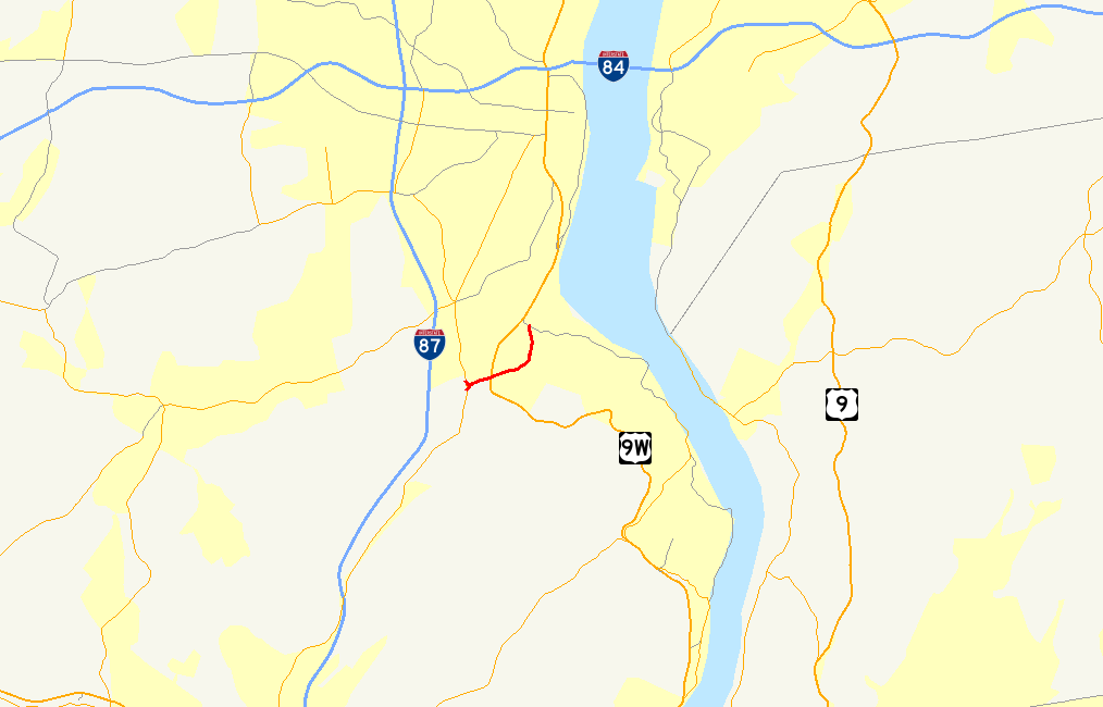
 Map of the highways transferred to Orange County in the vicinity of Cornwall-on-Hudson in 1980
On January 9, 1980, the NY 307 designation was removed from the entirety of its routing.[7] Ownership and maintenance of both NY 307's former routing west of Hudson Street and Main Street between Hudson Street and NY 218 was transferred from the state of New York to Orange County roughly three months later on April 1 as part of a highway maintenance swap between the two levels of government.[8] Following the swap, CR 9 was extended northward along Main Street to a new terminus at NY 218 while NY 307's former routing along Quaker Avenue was designated as CR 107.[9]
Originally, CR 9's Mineral Springs Road segment had a longer alignment within the forests south of Angola Road. This was realigned and the old alignment became known as Old Mineral Springs Road.[1]
Major intersections
The entire route is in Orange County.
Location Mile[1] Destinations Notes Woodbury 0.0 NY 32Hamlet of Central Valley Cornwall US 9WInterchange 10.0 NY 2181.000 mi = 1.609 km; 1.000 km = 0.621 mi References
- ^ a b c d e f g h Google, Inc. Google Maps – overview map of Orange CR 9 (Map). Cartography by Google, Inc. http://maps.google.com/maps?sourceid=navclient&ie=UTF-8&rlz=1T4ADBF_enUS232US232&q=from%3A%20CR-9%2FSmith%20Clove%20Rd%20%4041.331779%2C%20-74.121200%20to%3A%20CR-9%2FMineral%20Springs%20Rd%20%4041.382460%2C%20-74.069760%20to%3ACR-9%2FMain%20St%20%4041.447092%2C%20-74.029934&um=1&sa=N&tab=wl. Retrieved June 14, 2008.
- ^ "Cromwell Manor Historic Inn". http://www.cromwellmanor.com/. Retrieved June 14, 2008.
- ^ Ardito, Anthony (October 1995). "National Register of Historic Places nomination, David Sutherland House". http://www.oprhp.state.ny.us/hpimaging/hp_view.asp?GroupView=10955. Retrieved June 14, 2008.
- ^ "Orange County traffic counts" (PDF). New York State Department of Transportation. 2003. https://www.nysdot.gov/divisions/engineering/technical-services/hds-respository/orangetvbk.pdf. Retrieved April 8, 2010.
- ^ Texas Oil Company (1934). Road Map of New York (Map). Cartography by Rand McNally and Company.
- ^ Standard Oil Company (1936). New York (Map). Cartography by General Drafting.
- ^ New York State Department of Transportation (January 2009) (PDF). Official Description of Highway Touring Routes, Bicycling Touring Routes, Scenic Byways, & Commemorative/Memorial Designations in New York State. https://www.nysdot.gov/divisions/operating/oom/transportation-systems/repository/2009%20tour-bk.pdf. Retrieved July 3, 2009.
- ^ New York State Legislature. "New York State Highway Law § 341". http://public.leginfo.state.ny.us/menugetf.cgi?COMMONQUERY=LAWS. Retrieved July 3, 2009.
- ^ New York State Department of Transportation (1991). Cornwall-on-Hudson Digital Raster Quadrangle (Map). 1:24,000. http://www.nysgis.state.ny.us/gisdata/quads/drg24/dotpreview/index.cfm?code=cc46. Retrieved July 3, 2009.
External links
Categories:- County routes in Orange County, New York


Wikimedia Foundation. 2010.