- Shire of Boyup Brook
Infobox Australian Place | type = lga
name = Shire of Boyup Brook
state = wa
imagesize= 180
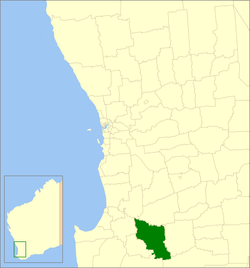
caption = Location inWestern Australia
pop = 1,480 (2006 census)
area = 2829.2
est = 1896
seat = Boyup Brook
mayor = Roger Downing
region = South West
url = http://www.boyupbrook.wa.gov.au/
stategov = Blackwood-Stirling
fedgov = O'Connor
near-nw = Donnybrook Balingup
near-n = West Arthur
near-ne = West Arthur
near-w = Donnybrook Balingup
near-e = Kojonup
near-sw = Bridgetown Greenbushes
near-s = Manjimup
near-se = CranbrookThe Shire of Boyup Brook is a Local Government Area located in the South West region of
Western Australia , about convert|270|km|mi|0 southeast of Perth, the state capital. The Shire covers an area of convert|2829|km2|sqmi|0 and its seat of government is the town of Boyup Brook.History
In 1896, the Upper Blackwood Road Board was gazetted. On 1 July 1961, it changed name to Boyup Brook and became a Shire Council following changes to the Local Government Act. [WA Electoral Commission, "Municipality Boundary Amendments Register" (release 2.0), 31 May 2003.]
Wards
The shire has been divided into 4 wards.
* Boyup Brook Ward (3 councillors)
* Benjinup Ward (2 councillors)
* Dinninup Ward (2 councillors)
* Scotts Brook Ward (2 councillors)Towns
* Boyup Brook
* Benjinup
* Chowerup
* Dinninup
* Kulikup
* Mayanup
* Tonebridge
* WilgaReferences
External links
* [http://www.boyupbrook.wa.gov.au/ Shire of Boyup Brook]
Wikimedia Foundation. 2010.