- Champagne-Ardenne
-
Champagne-Ardenne — Region of France — 
Flag
Logo
Country  France
Prefecture Châlons-en-Champagne Departments Government - President Jean-Paul Bachy (PS) Area - Total 25,606 km2 (9,886.5 sq mi) Population (2008-01-01) - Total 1,334,000 - Density 52.1/km2 (134.9/sq mi) Time zone CET (UTC+1) - Summer (DST) CEST (UTC+2) GDP/ Nominal € 35 billion (2006)[1] GDP per capita € 26,100 (2006)[1] NUTS Region FR2 Website cr-champagne-ardenne.fr 
 The historical flag and coat of arms of the region, symbols of the Champagne province.
Champagne-Ardenne (French pronunciation: [ʃɑ̃paɲ aʁdɛn]) is one of the 27 regions of France. It is located in the northeast of the country, bordering Belgium, and consists of four departments: Aube, Ardennes, Haute-Marne, and Marne. The region is famous for its sparkling white wine (champagne). Its rivers, most of which flow west, include the Seine, the Marne, and the Aisne. The Meuse flows north.
Contents
Transportation
Highways
- A4 connecting Paris and Strasbourg and serving the Reims metropolitan area
- A5 connecting Paris and Dijon and serving Troyes and Chaumont
- A26 connecting Calais and Dijon and serving Reims and Châlons-en-Champagne
- A34 connecting Reims and the Belgian border and serving Charleville-Mézières
Rail
The rail network includes the Paris–Strasbourg line, which follows the Marne Valley and serves Épernay, Châlons-en-Champagne, and Vitry-le-François. The LGV Est TGV line also connecting Paris and Strasbourg opened in 2007 and serves Reims with a train station in the commune of Bezannes.
Water
The region's canals include the Canal latéral à la Marne and Marne-Rhine Canal, the latter connecting to the Marne at Vitry-le-François. These are petit gabarit canals.
Air
The Vatry International Airport, primarily dedicated to air freight, has a runway 3650 m long, yet it is often unused. The airport is in a sparsely populated area just 150 km from Paris. Some people say it is a good candidate for transformation into a third Parisian airport. Les verts (the French green party) supported such a move because the resulting noise pollution would affect fewer people than an airport closer to Paris.
See also: Ardennes
Economy
 Vineyard in Champagne-Ardenne.
- 61.4% of its land is dedicated to agriculture
- 1st in France for the production of barley and alfalfa
- 2nd in France for the production of beets, onions, and peas
- 3rd in France for the production of tender wheat and rapeseed.
- 282.37 km² of vineyards
- Champagne sales in 2001: 263 million bottles (4% increase from 2000) of which 37.6% were exported.
- 25% of French hosiery production
- 3rd metallurgic region in France
Businesses
- Verreries Mécaniques de Champagne
- Produits Métallurgiques à Reims
- Vallou
Food processing
- Champagne-Céréales
- France-Luzerne
- Béghin-Say
Demographics
The population of Champagne-Ardenne has been in steady decrease since 1982 due to a rural exodus. With 1.3 million people and a density of 52/km², it is one of France's least populated regions. After a brief period of stabilization in the 1990's, the region's population is now among the fastest "dying" in Europe, with several municipalities losing people at a faster rate than a lot of Eastern European areas, especially in the Haute-Marne department. The region is among the oldest in France, has a weak fertility rate, and its immigrant population, while growing, is still minimal compared to the national average.
Tourism
Champagne-Ardenne has the following:
 Entry in the department of Aube, Champagne-Ardenne.
- 291 approved tourist hotels offering 8,000 rooms
- 152 bed and breakfasts
- 18 museums
- 92 screens in local cinemas
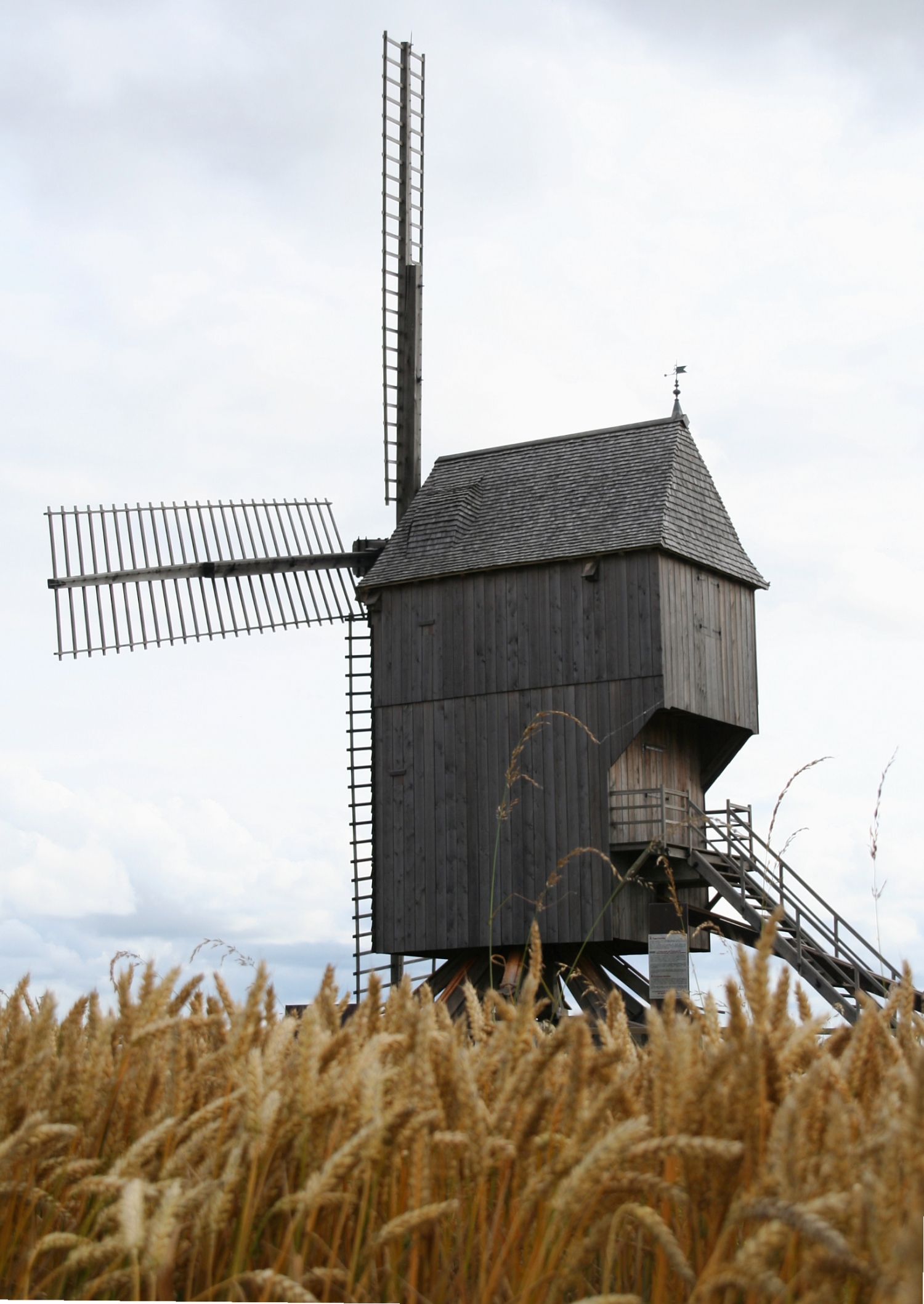
 Moulin de Valmy dans les champs
- 16 theatres
- 10 golf courses
- 650 km of waterways
- 8 lakes reserved for tourists, including the Lake Der-Chantecoq, the largest man-made lake in Europe
Visitors often go to Champagne because of its history and its world-famous wine. However, their itineraries diverge when they discover the region's cultural heritage and its cuisine: some visit Troyes and its ancient houses, others visit Langres and its walls, Châlons-en-Champagne and it Cloister, still others visit Épernay, Reims, or Colombey-les-deux-Églises.
Major communities
References
See also
External links
- (French) Government of Champagne-Ardenne region
- (English) Champagne-Ardenne at the Open Directory Project
- Champagne-Ardenne travel guide from Wikitravel
Regions of France - Alsace
- Aquitaine
- Auvergne
- Burgundy
- Brittany
- Centre
- Champagne-Ardenne
- Corsica
- Franche-Comté
- Île-de-France
- Languedoc-Roussillon
- Limousin
- Lorraine
- Midi-Pyrénées
- Nord-Pas-de-Calais
- Lower Normandy
- Upper Normandy
- Pays de la Loire
- Picardy
- Poitou-Charentes
- Provence-Alpes-Côte d'Azur
- Rhône-Alpes
- Overseas regions:
- French Guiana
- Guadeloupe
- Martinique
- Mayotte
- Réunion
Categories:- Champagne-Ardenne
- NUTS 2 statistical regions of the European Union
- Regions of France


Wikimedia Foundation. 2010.