- Dale River (Western Australia)
-
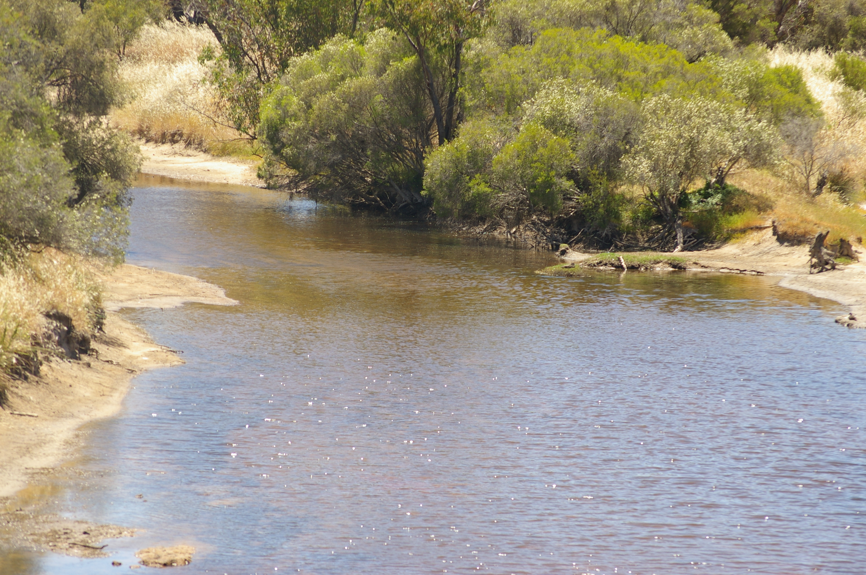
Dale River 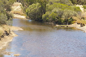
Avondale Agricultural Research Station, Dale RiverOrigin Boyagarring Conservation Reserve Mouth Avon River Basin countries Australia Length 75 kilometres (47 mi) [1] Source elevation 374 metres (1,227 ft)[2] Mouth elevation 189 metres (620 ft) Dale River was named after Robert Dale, the first European exlorer to venture into the Darling Ranges in Western Australia in 1829.
The Dale river is a tributary of the Avon river, it joins the Avon 10 km west of Beverley near the Avondale Agricultural Research Station.
Tributaries of the Dale River include Dale River South, Gibb Gully, Connelly Gully, Sherlock Gully, Flint Gully and Talbot Brook.
References
- ^ Western Australian Land Information Authority. "History of river names". http://www.landgate.wa.gov.au/corporate.nsf/web/History+of+river+names. Retrieved 2011-09-03.
- ^ "Bonzle Digital Atlas - Map of Dale River, WA". 2008. http://maps.bonzle.com/c/a?a=p&cmd=sp&zix=r&p=207103&st=&s=Dale%20River&pg=1&m=0&nudge=1&c=1&x=115%2E9373&y=%2D33%2E346235&w=59079. Retrieved 2008-11-23.
Coordinates: 32°10′S 116°49′E / 32.167°S 116.817°E
Categories:- Rivers of Western Australia
- Western Australia geography stubs
Wikimedia Foundation. 2010.