- Orchard Park, Cambridgeshire
-
Coordinates: 52°13′59″N 0°07′08″E / 52.233°N 0.119°E
Orchard Park 
 Orchard Park
Orchard Park shown within CambridgeshireParish Orchard Park District South Cambridgeshire Shire county Cambridgeshire Region East Country England Sovereign state United Kingdom Post town CAMBRIDGE Dialling code 01223 Police Cambridgeshire Fire Cambridgeshire Ambulance East of England EU Parliament East of England UK Parliament Cambridge List of places: UK • England • Cambridgeshire Orchard Park, previously known as Arbury Park and before that Arbury Camp,[1] is a district and civil parish of South Cambridgeshire, England, contiguous with the city of Cambridge. Previously agricultural land, the area is currently being developed for housing.
Contents
History
The area now called Orchard Park has been settled since at least the Bronze Age and remnants of the Iron Age ring fort, Arbury Camp, remain.[2] The area was also occupied during the Roman occupation of Britain.[2]
By the beginning of the 21st century the area was mostly used for agriculture before it was identified by local government for development.[3] Building started in 2006 and was due to be completed around 2009, but had been suspended from September 2008[4] till June 2009 when building restarted. The development contains a number of newly built houses and flats — mixed social and private dwellings. It has been proposed that under current boundary change proposals Orchard Park should fall within Cambridge City Council's boundaries in the future.[5]
Education
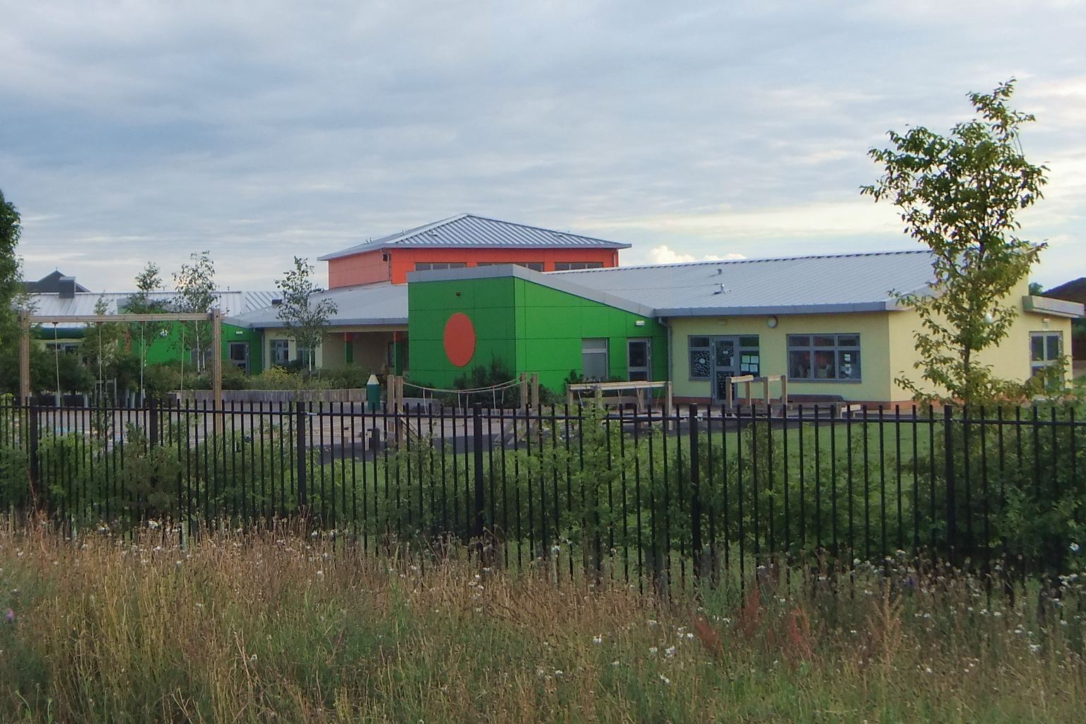
Orchard Park Community Primary School caters for 5–11 year olds. Nearby Cambridge Regional College offers further education.
-
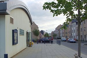
The Orchard Community Centre and houses along Central Avenue.
-

Orchard Park Community Primary School.
-
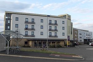
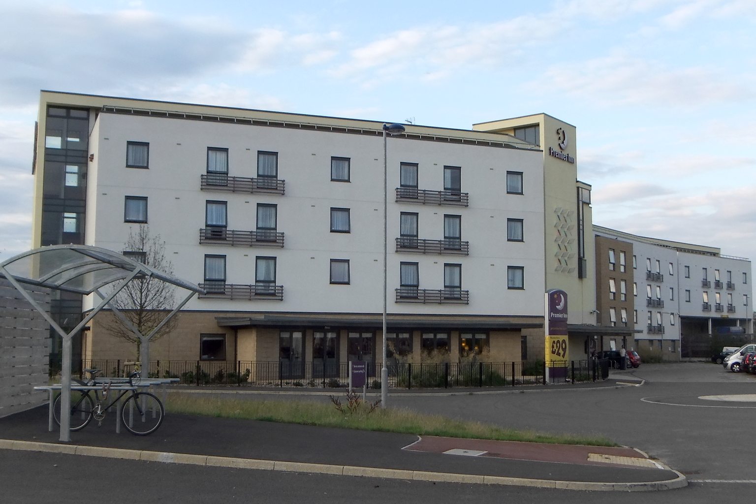
Premier Inn in Orchard Park.
-
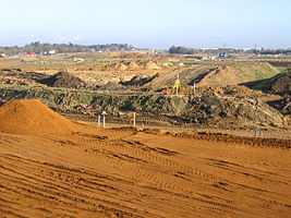
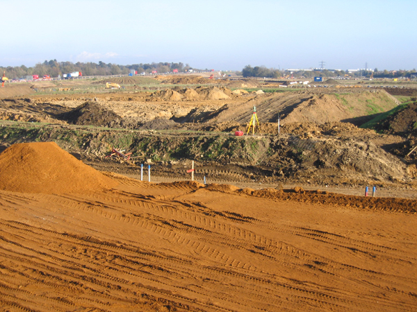
Orchard Park under construction as viewed from the B1049 road in 2005.
-

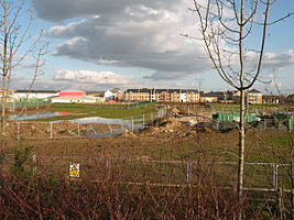
Orchard Park under construction as viewed from the B1049 road in 2007.
-
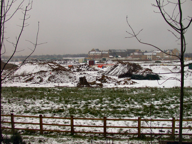
Orchard Park under construction as viewed from the B1049 road in 2010.
Transport
The area has bus and road connections to the centre of Cambridge as well as the A14 trunk road. Services on the Cambridgeshire Guided Busway began in August 2011 after a lengthy delay. The busway passes the edge of the development with two sheltered bus stops at East and West Orchard Park. A path reducing the travelling distance for pedestrians and cyclists to Histon has been proposed, to reduce Orchard Park resident's dependency on motorised transport. The Ring Fort Path proposal[6] would close the gap between the local hotel and school and the pedestrian crossing over the A14 to Histon.
Nearby communities
- Arbury
- Impington
- Chesterton
References
- ^ "Orchard Park". South Cambridgeshire District Council. http://www.scambs.gov.uk/communityandliving/newcommunities/majordevelopments/orchardpark/default.htm. Retrieved 2011--01-04.
- ^ a b "New community digs back in time". BBC Cambridgeshire. 2010-10-14. http://news.bbc.co.uk/local/cambridgeshire/hi/people_and_places/history/newsid_9087000/9087881.stm. Retrieved 2011-01-04.
- ^ "ORCHARD PARK DESIGN GUIDE 2007 - CHAPTER 1 - INTRODUCTION". South Cambridgeshire District Council. 2009-12-22. http://www.scambs.gov.uk/admin/documents/retrieve.asp?pk_document=908520. Retrieved 2011--01-04.
- ^ Extance, Rachel (2008-09-05). "Anger as developers stop work". Cambridge News. http://www.cambridge-news.co.uk/cn_news_cambridge/displayarticle.asp?id=350643. Retrieved 2008-11-26.
- ^ "ORCHARD PARK GUIDE JUNE 2010". South Cambridgeshire District Council. 2010-06-08. http://www.scambs.gov.uk/admin/documents/retrieve.asp?pk_document=908980. Retrieved 2011--01-04.
- ^ "Ring Fort Path, proposed link to Histon for pedestrians and cyclists". Cambridge Cycling Campaign. 2011-05-01. http://www.camcycle.org.uk/jumpto/RingFortPath.
External links
- Orchard Park at South Cambridgeshire District Council
- Inside Orchard Park Orchard Park's resident-run website
- Orchard Park Community website
Categories:- Geography of Cambridge
- Buildings and structures in Cambridgeshire
- Construction projects in the United Kingdom
-


Wikimedia Foundation. 2010.